
NWP skills for operational meteorologist
Listed here are other resources related to "NWP skills for operational meteorologist" tag:
Note: click on an image to open the Resource
Francesca Di Giuseppe discusses ECMWF fire prediction systems and the advantages of SPARKY, a new data-driven system for predicting fire activity and burned area.
Traditional fire danger indices estimate environmental conditions conducive to fire but do not directly predict when and where fires will occur. This presentation introduces a shift toward fire activity forecasting, using data-driven approaches that integrate weather, fuel conditions, and ignition sources. By leveraging machine learning and Earth observation data, these systems provide probabilistic forecasts of actual fire occurrence and spread. The approach improves early warning capabilities, reduces false alarms in fuel-limited regions, and offers actionable information for fire management, supporting more effective preparedness, response, and long-term risk mitigation strategies.
Emilio Chuvieco presents data sets and products generated by the ESA FireCCI programme.
The presentation is about the set of burned area products derived from the European Space Agency's Climate Change Programme. They include a Sentinel-3 SYN global product, generated from 2019 until present, at 300 m resolution; a Terra-MODIS-based 250 m product generated from 2001 to 2022, and a high-resolution global mosaic based on Sentinel-2 MSI images for 2023. All products have been statistically validated using higher resolution images and are used for different applications, including fire emissions and the impact of burning on tropical deforestation.
Carlos da Camara addresses the application of remote sensing for the development of an early warning system for fire danger.
In recent years, Europe has been affected by severe wildfires that are driven by vegetation stress and fire weather, and have severe impacts at social, economic and ecological levels. To assist fire managers and firefighters, the LSA SAF has developed an early warning fire danger system for Europe. The system relies on a set of regional models that provide forecasts of local meteorological fire danger based on statistical models of fire radiative power that use the so-called Fire Weather Index as a covariate. The rationale will be described in detail, and several case studies will be presented.
Stephan Bojinski introduces the MTG-S and the instruments onboard.
An overview of Meteosat Third Generation (MTG) and the InfraRed Sounding mission is provided. The MTG-S satellite was launched on 1 July 2025 with an InfraRed Sounder (IRS) on board, passively measuring upwelling radiance in 1953 channels from geostationary orbit, every 30 min over Europe, and less frequently over other areas of the Earth disc. Valuable retrievals of humidity and temperature are expected with vertical resolution of 1-2km and spatial resolution of ~6-7km over Europe, complementing model-derived fields or radiosonde profiles. IRS is also sensitive to atmospheric trace gases such as NH3, SO2 and CO. Since this capability is a first-ever for EUMETSAT and its users, significant user training is required to visualise and interpret the data directly, e.g., in nowcasting applications. Strong impact on improving weather forecasting skill is expected by assimilating IRS radiances in NWP models, similar to data from its IASI sister missions in polar orbit. EUMETSAT informs its member states regularly informed about the status of IRS testing and release of early data via its MTG User Preparation user group and the Core NWP user group.
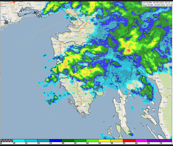
Case study about the extreme precipitation event in Rijeka, Croatia on 28 September 2022. The study focuses on the special case of convective development that caused the severe event.
This study accompanies the simulator.
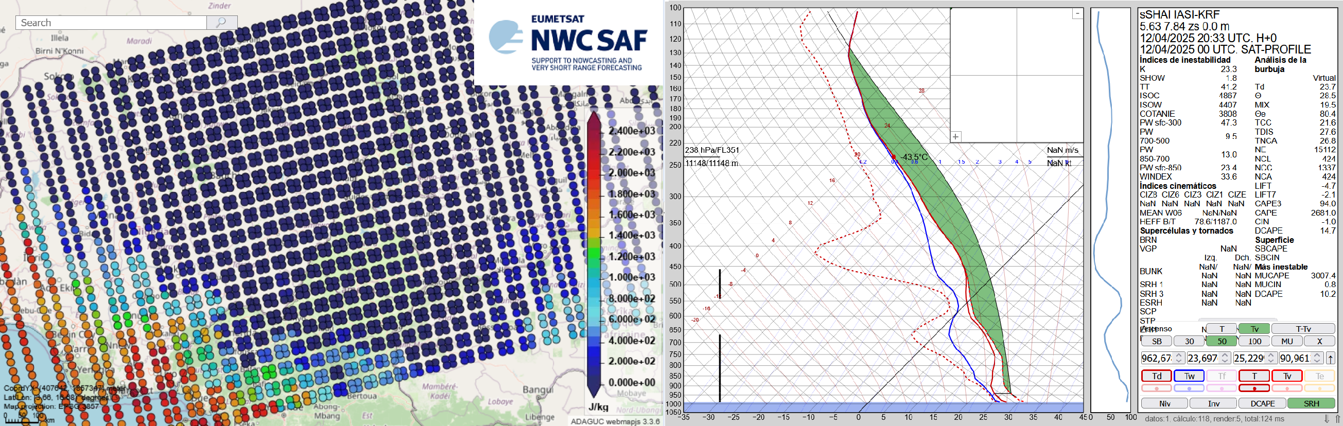
The Nowcasting SAF is planning a new software package dedicated to the new geostationary MTG-S Infrared Sounder instrument (IRS). This new software package will generate Satellite Humidity And Instability products (sSHAI) that will be key in Nowcasting using the IRS instrument. It will also deliver services to make the best use of MTG-IRS channels and combine its virtues with those of the MTG imager FCI.
In this Workshop you will learn about these revolutionary product and services. You will also have a taste of what will come in a few months with MTG-IRS by using in real world applications the prototype product obtained from the polar orbiting IASI instrument.
The Workshop is comprised of 4 presentations:
Part 1. X. Calbet (AEMET) - Introduction GEO-S
Part 2. N. Peinado-Galán (AEMET) - sSHAI prototype
Part 3. N. Peinado-Galán (AEMET) and X. Calbet (AEMET) - Practical cases with course attendants using SHAI on the EWC
Part 4. Miguel-Ángel Martínez (AEMET) - Other services from the GEO-S package: quickIRS, sSHAI_ES and Remapping tool
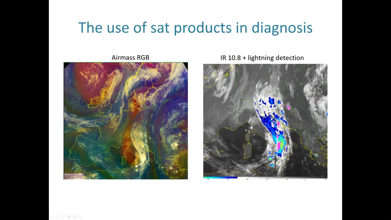
Vinko Šoljan talks about forecasting and nowcasting of deep moist convection, satellite products used, NWP outputs and more.
In this presentation, we will demonstrate the process of forecasting deep moist convection (DMC) at Croatia Control and how satellite products are utilized in this process. This includes large-scale analysis and diagnosis using satellite data, as well as monitoring and nowcasting existing DMC using satellite products and radar data. In DMC forecast we primarily rely on the ingredients-based methodology and NWP guidance.
Georg Pistotnik covers the topic of drylines, shows it's relevance in severe weather development.
Drylines are boundaries separating warmer and drier from cooler and moister air, usually resulting from differential diurnal heating and therefore vertical mixing. The most common and distinct dryline in the Alpine region is the boundary between Foehn winds (dynamically driven) and upvalley/upslope circulations (thermally driven). Thunderstorms often form along drylines and intensify when they move onto their moist side, where CAPE and vertical wind shear are systematically enhanced and favor convective organization. This presentation highlights how station and readiosonde data, high-resolution satellite imagery and even webcam images can be integrated into the nowcasting of drylines and resulting thunderstorms, using some prominent cases of the past few years in the eastern Alpine region.
Lecture slides
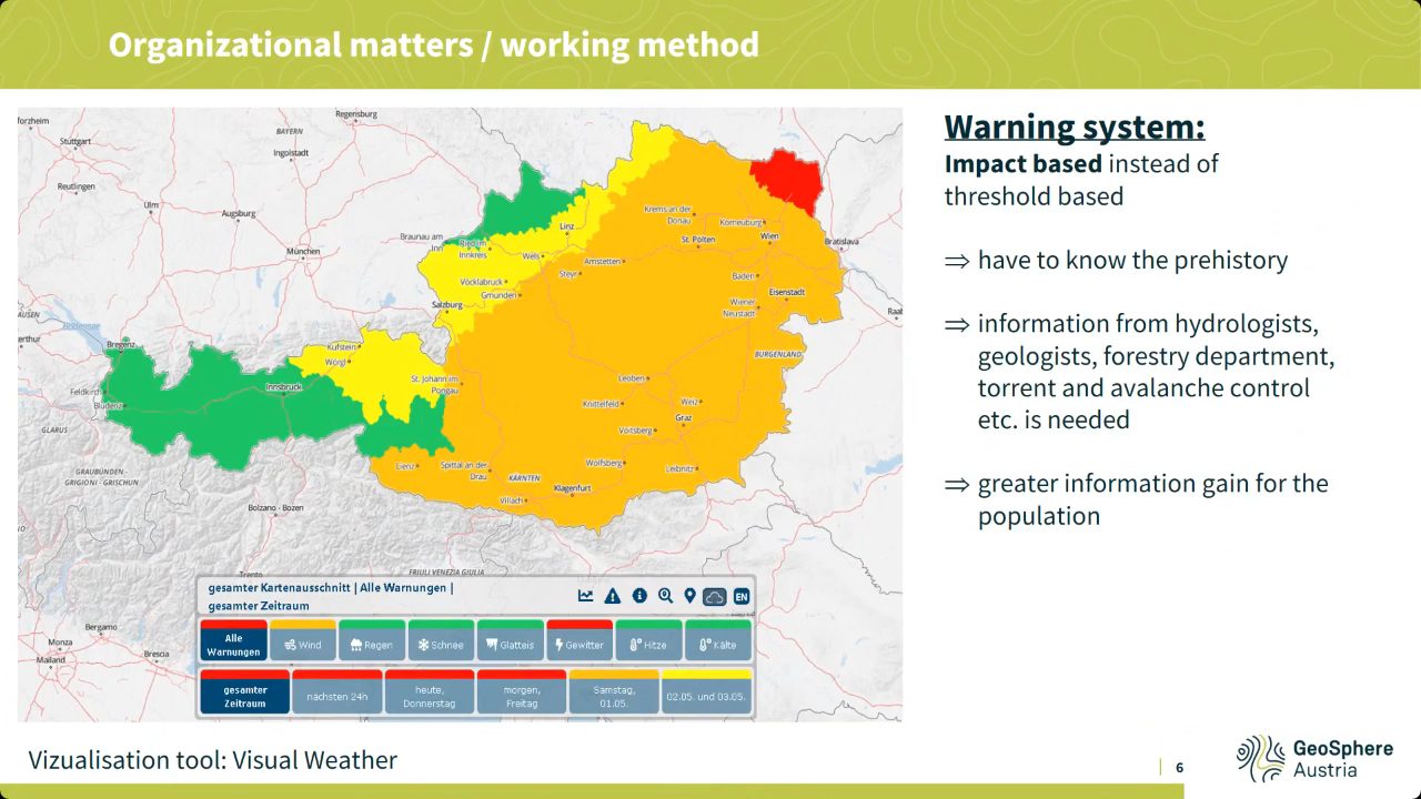
Liliane Hofer speaks about prognostic service of Austria, work organization, regional weather forecast specifics such as southerly föhn winds and others.
Various phenomena, some of which are regionally specific, such as southerly föhn winds or precipitation in northern or southern congestion, make the weather forecast in Austria very challenging at times. In addition, the topographically highly structured landscape also results in quite small-scale differences, for example in inversion weather conditions. All this and special customer products are highlighted in this presentation, as well as the basic working environment of the forecasters and, of course, the satellite products used for this purpose.
Lecture slides
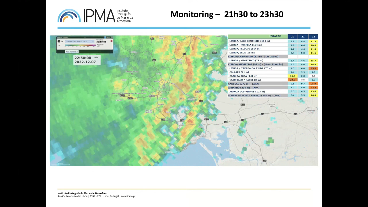
Jorge Ponte shows the challenges of being a forecaster, issuing warnings and discusses extreme precipitation event that affected Lisbon.
Extreme rainfall events in December 2022 caused significant losses in Lisbon, Portugal. This presentation examines these events to discuss whether it was possible (or not) to make a better forecast and issue earlier warnings. By analyzing various numerical model products from the preceding days alongside real-time monitoring data (satellite, radar, stations), the presentation will explore the operational forecaster's decision-making process during extreme weather situations.
Lecture slides
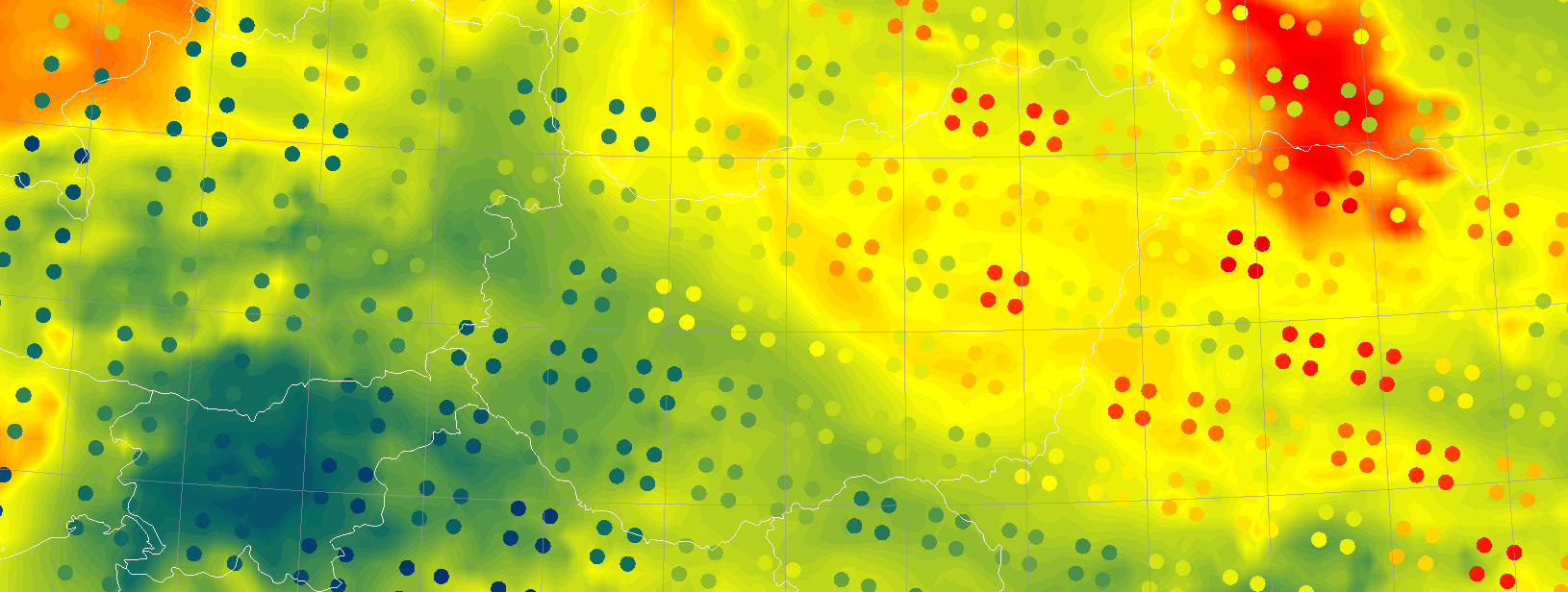
Case Study of the pre-convective environment of 19th May 2021 using IASI sounder data.
This Case Study of the pre-convective environment of 19th May 2021 using IASI sounder data focuses on exploring how the use of IASI retrievals added additional value to the forecast of the incoming storm over Hungary.
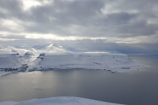
Ine-Therese Pedersen speaks about difficulties of forecasting icing in the far north.
Weather forecasting in the Arctic is challenging, and the further north you go, the more difficult it can be to meet this challenge. Svalbard is situated between 74-80 degrees north and consists of several islands with high mountains, deep fjords, and large glaciers. The terrain makes it even harder to model and forecast the weather. In addition to cold, snowy weather in wintertime, one of the large challenges is icing in autumn and winter. This has an impact on both roads, animal living conditions, and air traffic. This talk will go deeper into icing in relation to air traffic on Svalbard, mostly connected to the main airport, Svalbard Airport, situated near Longyearbyen."