
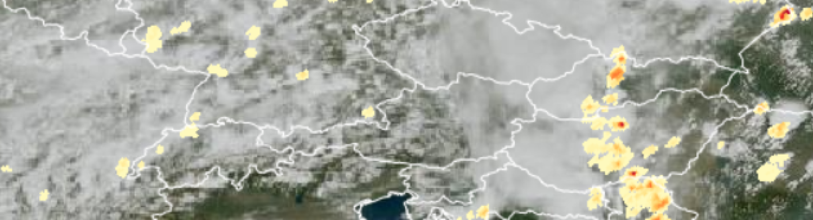
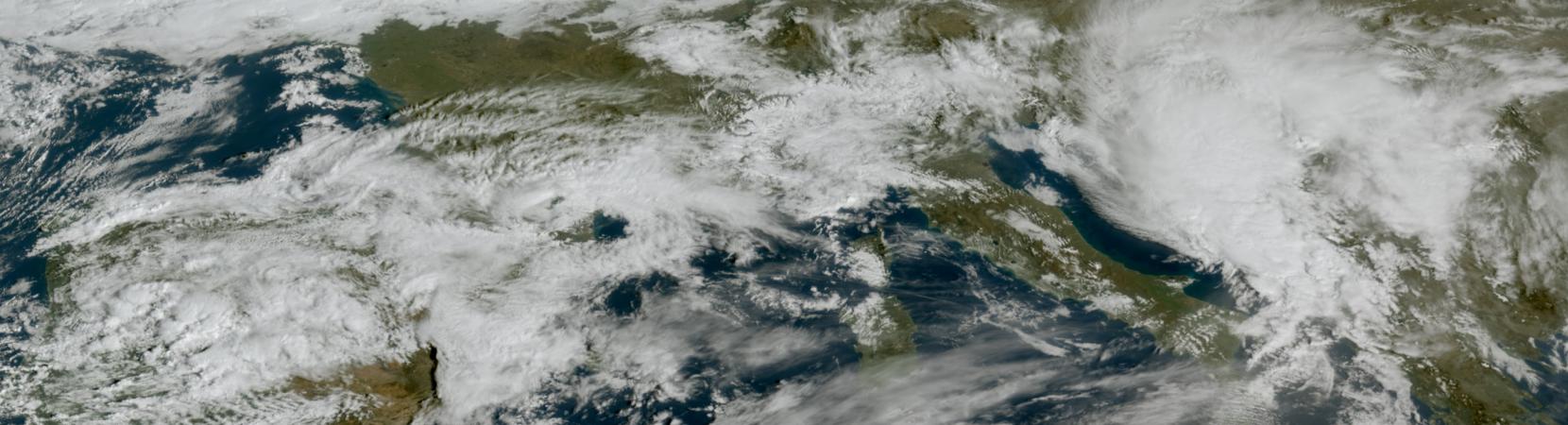
Case study about the extreme precipitation event in Rijeka, Croatia on 28 September 2022. The study focuses on the special case of convective development that caused the severe event.
This study…
Explore a collection of product tutorials, case studies, simulators, training modules & courses
on the use satellite data for meteorological
applications & more.

A new case study that is accompanying the severe precipitation event simulator is now available here.
Simulator on forecasting convective development over Hungary is now available here.
Manuscript on "How to create or adapt an RGB scheme" is the latest addition to our resource library and is now available here.

A new extended guide on Cloud Type RGB is now available here.

A new conceptual model on Atmospheric Rivers is now available here.
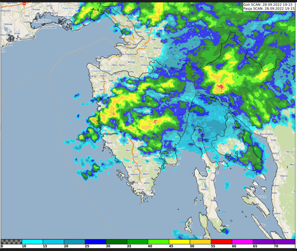
Case study about the extreme precipitation event in Rijeka, Croatia on 28 September 2022. The study focuses on the special case of convective development that caused the severe event.
This study…
Xavier Calbet goes over NWC SAF products available as well as some future planned ones. He also goes over the GEO-S software.
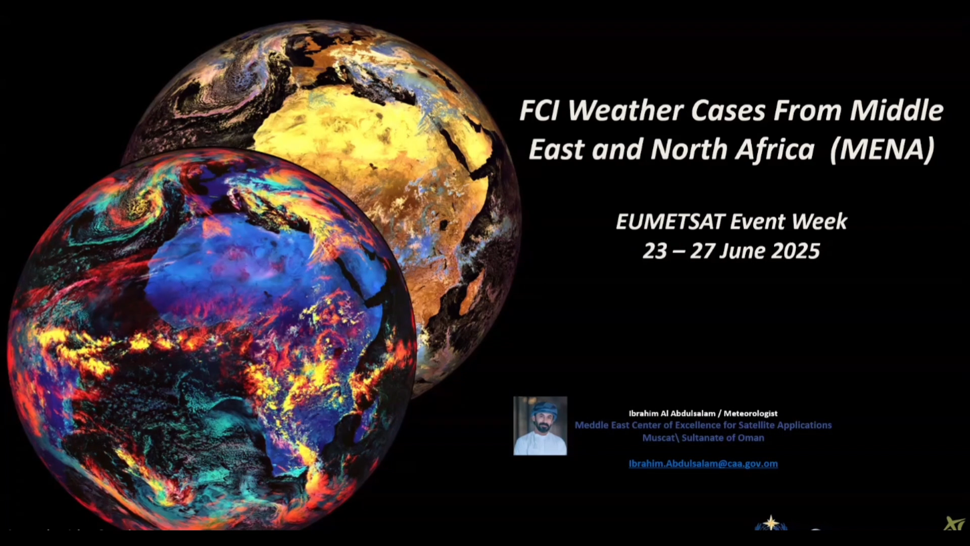
Ibrahim Mohammed Al-Abdul Salam shows a number of examples of MTG FCI Imagery during various weather situations over the Middle East and North Africa (MENA) region.
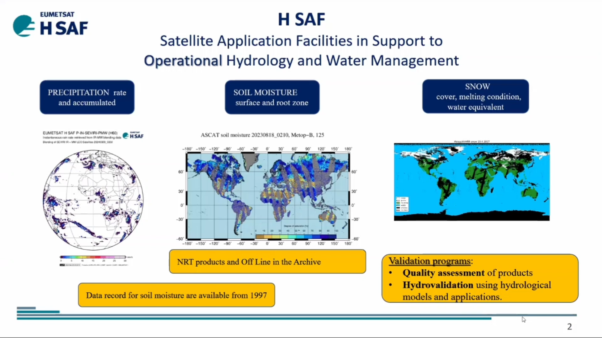
Roberto Nicoletta talks about the H SAF P-IN-FCI (H40) instantaneous precipitation and P-AC-FCI (H42) accumulated precipitation products while Semih Kuter discusses the H SAF H43 Snow Cover Product.