NWP
Presentation 3 in the Warnings Event Week 2017
Length: 29 min
Author: Lars Kirchhuebel (DWD)
Forecasting winter weather is a challenging job for a forecaster because of snow, ice, freezing rain, fog, etc. In this presentation Lars Kirchhuebel is presenting how are the winter weather situations, especially black ice phenomena, forecasted and warned in Deutscher Wetterdienst and during this walkthrough he will present the black ice case of 7th of January 2017.
Presentation 2 in the Warnings Event Week 2017
Length: 42 min
Author: Marcus Beyer (DWD)
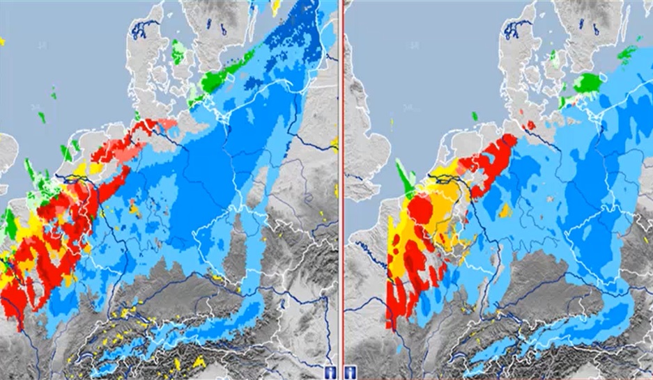
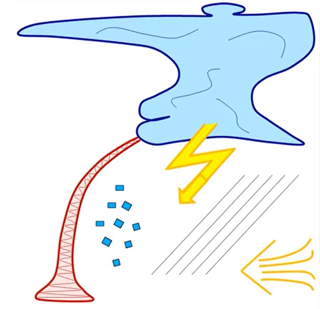
The talk of this presentation is focused on analyzing development of convective cells that may give huge amounts of precipitation. Marcus Beyer shows us the ingredient based forecasting method analyzing CAPE, moisture and lift, the three essential ingredients for developing of convection and then additionally the shear component that governs the strength of a convective cell. Later on Marcus analyzes two cases of convection that caused major damages in Germany using this method.
Presentation 1 in the Warnings Event Week 2017
Length: 35 min
Author: Thomas Kratsch (DWD)
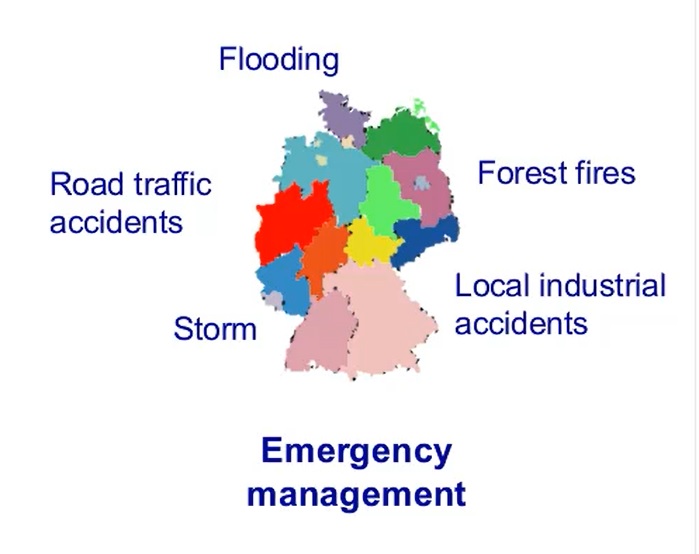
The presentation is about the three-tiered warning system with probabilistic texts days in advance that is used in Germany. The texts consist of pre-warning information about one or two days in advance and severe weather warnings a few hours and up to 12 hours in advance. Warning thresholds for Germany and the ways of delivering these warnings to public are presented along with the software used for this process.
Length: 67 min
Author: Marko Blaskovic (DHMZ)
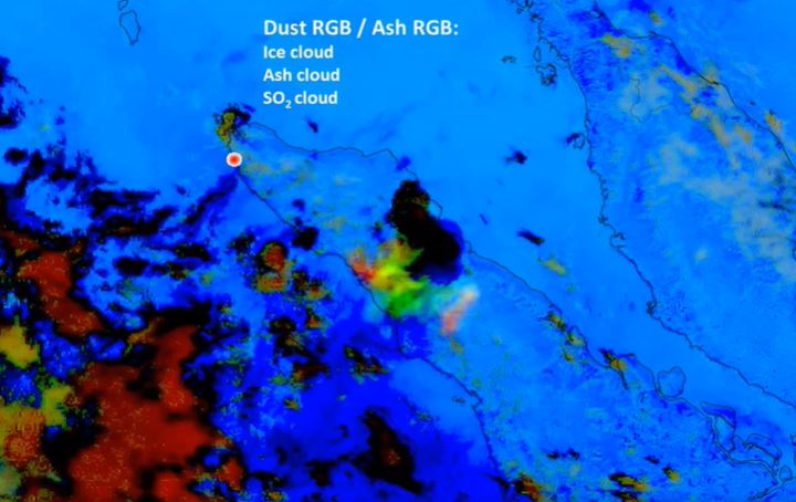
Marko Blaskovic goes through all the important atmospheric phenomena you can possibly see using satellite imagery. At the beginning the lecture treats smoke and dust with some examples and exercises. After that, ways of detecting precipitation clouds, analysing convection and pollution are shown in a couple of examples and the presentation then ends with a short overview of clear air turbulence visible from satellites.
Length: 55 min
Authors: Andreas Wirth, Yasmin Markl (ZAMG)
The lecture continues on the material from the second chapter of the course that concerned fronts, convection, low cloudiness, atmospheric waves and all types of clouds associated with those processes. In the first part Andreas goes over the Norwegian school once again and through some convective cases. Yasmin later on goes through low cloudiness and fog cases and the lecture finishes with gravity waves.
Presentation 10 from the Synoptic and Mesoscale Analysis of Satellite Images 2016
Length: 66 min
Author: Wilfried Jacobs (DWD)
Satellite image interpretation of shallow clouds and related weather phenomena is a very important task for nowcasting because NWP-models and statistical methods exhibit still deficiencies in simulating these phenomena in a proper way. Especially over oceans but also over land observation networks are often too coarse meshed for nowcasting.
The theory and the most suitable satellite products will be explained first. In combination with other data (e.g., observations, radio soundings, radar products) examples will be discussed for the following application areas:
1. Diagnosing shallow clouds in respect to water content and related weather, e.g., drizzle of different intensities;
2. Identifying fog and low stratus and how to estimate the fog/stratus layer’s thickness. The likelihood of dissolving and connected weather phenomena (e.g., freezing drizzle) will be covered, too.
Presentation 9 from the Synoptic and Mesoscale Analysis of Satellite Images 2016
Length: 50 min
Author: Frans Debie (KNMI)
Convection can be found everywhere on the planet. However in meteorological way of thinking in mid-latitudes there is convection in different airmasses and also at the boundary of these airmasses. Convection at the boundaries belongs to the sub-features of frontal systems and we won’t deal with convection in the frontal systems.
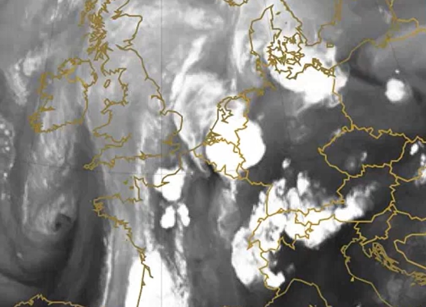
In this lecture a few examples of unstable air Conceptual models will be shown, for instance: Cumulonimbi, Enhancement of convection by PV, Spanish Plume, etc. The typical environment is one part and the organization modes is the second part of the lecture.
Presentation 8 from the Synoptic and Mesoscale Analysis of Satellite Images 2016
Length: 51 min
Author: Justyna Wodziczko (MetNo)
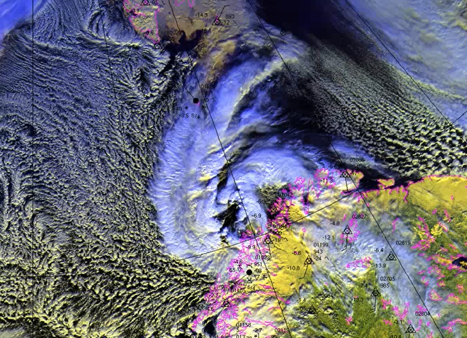
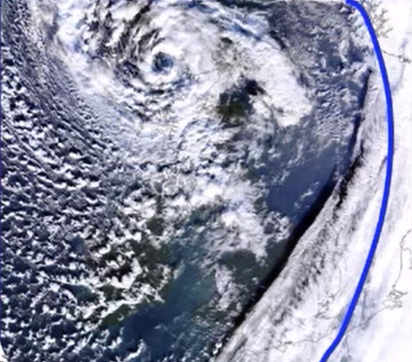
Polar Lows are generally characterized by severe weather in form of strong winds, snow showers sometimes even hail, which sometimes results in loss of lives, especially on the sea. Sometimes these systems are also connected with the term Arctic Hurricane, which had been used for especially intense Polar lows. Compromising definition of Polar low is: small, but fairly intense low in northern maritime regions.
The polar lows are formed in cold air outbreaks, north of the polar front, mostly in the regions east of 0°E and south of 75°N. Favorable season for them is the cold part of the year. By size, they are smaller (200-600 km) than ordinary synoptic lows with life-span typically around 18 hours, and with very intense change of weather.
Why was it difficult to forecast polar lows and what are the improvements in that area since 2000? In my presentation I will also show you how we are forecasting Polar lows, which models we are using and of course satellite products.
Presentation 7 from the Synoptic and Mesoscale Analysis of Satellite Images 2016
Length: 60 min
Author: Veronika Zwatz-Meise (former ZAMG)
Commas are meso-scale structures developing within cold air, that can cause severe weather on the ground, often behind frontal cloud bands. They occur mainly during the cold season and are a common feature for Northern and Western Europe - nevertheless commas can also be found in the south. In this lecture life cycles and the appearance of commas in satellite imagery will be demonstrated. Different types of development exist - Within the cold air commas can grow out of EC starting as a small feature which is growing in to the typical meso-scale cloud spiral. On the other hand commas can be found in connection with occlusion when they split off the cloud spiral and become a separate feature on their own. Typical weather events are storms and heavy precipitation (in form of showers and thunderstorms). Examples of real cases will be shown and they shall illustrate the typical synoptic situations.
Presentation 6 from the Synoptic and Mesoscale Analysis of Satellite Images 2016
Length: 50 min
Author: David Schultz (University of Manchester)
Precipitation within extratropical cyclones often organizes into mesoscale substructures known as precipitation bands. The purpose of this presentation is to better understand how precipitation organizes into bands. We will discuss about Shapiro-Keyser and the Norwegian models of cyclones, why do they form, the differences between them, also where in cyclones precipitation bands form, their structures and evolutions, what controls their locations and intensities, and techniques to diagnose precipitation bands. In the end we will discuss about occlusion bands and how do they actually form considering latest researches.
Presentation 5 from the Synoptic and Mesoscale Analysis of Satellite Images 2016
Length: 79 min
Author: Veronika Zwatz-Meise (former ZAMG)
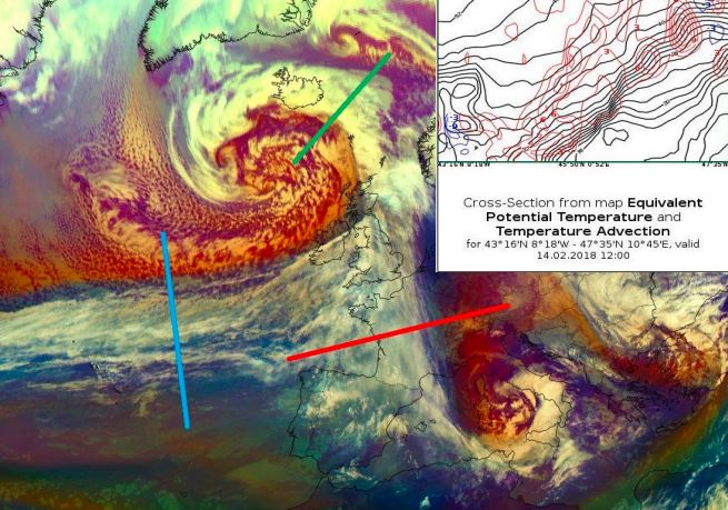
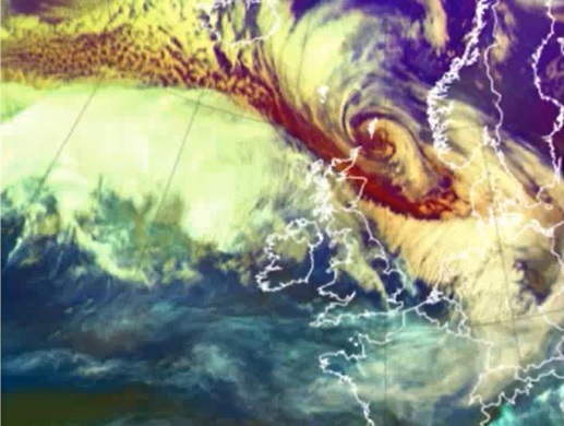
In this second part of the Cyclogenesis and Occlusion Cloud Bands lecture, a special form of cyclogenesis is treated in detail: the “rapid cyclogenesis” which is connected with very severe and often catastrophic weather events.
All processes and weather systems are presented from the aspect of “Conceptual Model thinking”; that means the typical appearance in satellite images is connected to the physical background which is responsible for the cloud configurations; then these results are connected to relevant numerical parameters in horizontal and vertical presentation. And all of the presented CMs are connected to the typical connected weather events. This combination of different meteorological material is especially important in forecasting and nowcasting.
Presentation 4 from the Synoptic and Mesoscale Analysis of Satellite Images 2016
Length: 75 min
Author: Veronika Zwatz-Meise (former ZAMG)
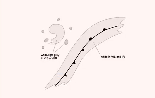
Cyclogenesis and occlusion cloud bands are common meteorological phenomena which are tightly connected. While “cyclogenesis” is a process, describing the development of a low centre, which can last from few hours to several days, the occlusion cloud bands are the result of this cyclogenesis process. Occlusion cloud bands differ from cold and warm front bands because of their history as well as their physical status.
The two lectures start from the classical cyclogenesis (occlusion) processes which are related to the classical polar front theory and introduce then the conveyor belt view of these processes culminating in the warm and cold conveyor belt occlusion types.
The occlusion cloud band types are described and compared to cold and warm front types in their horizontal as well as vertical depiction.
Also special subtypes of occlusion processes like “instant occlusion” and “cold air development” are mentioned.

