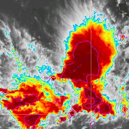
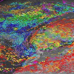
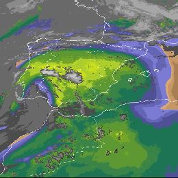
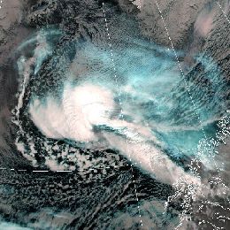
Identify and interpret fields and derived products
Ad Stoffelen gives a presentation on scatterometer winds, backscattering theory and current scatterometer instruments.
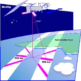
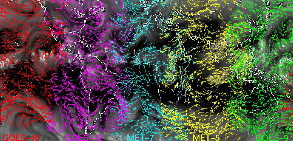
Winds over sea are essential for marine forecasting and used in nowcasting and numerical weather prediction (NWP) to aid, among others, in off-shore activities (e.g., energy sector), transport and recreation, particularly to secure safety of life and property. Winds over sea are observed by satellites and available from NWP model forecasts. Most satellite winds over sea are provided by scatterometers these days; they provide swath fields of both wind speed and wind direction from polar satellites. More satellite winds are becoming available through a global virtual constellation of scatterometers. Currently, winds from MetOp-A, MetOp-B and the Indian OceanSat-2 are operationally available and provide good day coverage. Moreover, winds from the Chinese HY2A satellite are being tested with good results at KNMI and further scatterometer launches are being approved. The lecture will briefly comment on these developments, but mainly focuses on what scatterometer winds really represent, how good they are for marine forecasting and what aspects need attention when applying these winds in your routine operations.
Thomas Bruns gives a presentation on route and time optimisation of oversea transports. He discusses the climate and weather influences on ship tracks.
Thomas Bruns gives a presentation on the history of ship routing and its improvements in the last 20 years, further on ocean waves and its related hazards. He gives an introduction to the classical methods of navigation. Route optimization is closely related to the ship performance, time optimization will not work without the knowledge of detailed ship properties. Finally, the two competing ways of navigating ships across the ocean, namely onboard and shore-based routing, will be discussed.
Cecilia Marcos and Natasa Strelec Mahovic give an overview on the NWC-SAF precipitation products and their applications.
To provide the forecasters with tools for severe weather events monitoring with a suitable spatial and temporal resolution is very important. The NWCSAF project develops several products to make easier forecasters their nowcasting tasks.
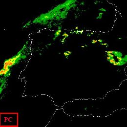
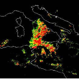
The NWCSAF/MSG software package contains two products devoted to precipitation. Precipitating Clouds (PC) product assigns a probability of precipitation occurrence on each SEVIRI pixel. Convective Rainfall Rate (CRR) product estimates rain rates on convective, and stratiform associated to convection, events. The algorithms, on which those products are based, have currently two different approaches.
PC product takes advantage of surface temperatures and of those SEVIRI spectral features which have the highest correlation with precipitation, to construct a Precipitation Index (PI). According to this PI, which has been calibrated against rain gauges, a likelihood of precipitation occurrence is assigned to each SEVIRI pixel. CRR algorithm assigns rain rates to each pixel according to some SEVIRI channel information and some calibration functions, which have been calibrated using radar data. The influences of environmental and orographic effects on the precipitation distribution are taken into account through some corrections that use NWP data. Besides, two new products are included in the NWCSAF/MSG v2013 software package. These products also estimate the probability of precipitation and convective rainfall rates using a common approach, which takes advantage of cloud microphysical properties.
In a second talk, Natasa Strelec-Mahovic will present applications of the NWCSAF Precipitation Products.
Hervé Le Gléau and Thomas Krennert give an overview on the NWC-SAF cloud products and their applications.
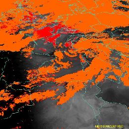
In this 30 minutes presentation, Hervé Le Gléau (MFL) gives an overview of the cloud products that can be retrieved from the MSG/NWCSAF software. These products are the cloud mask (including dust and volcanic ash flag), the cloud type (including the cloud thermodynamical phase), and the cloud top temperature and height. The algorithms will be outlined and some validation results presented. Finally short information will be given on the new cloud microphysics product planned in the NWC/GEO software version 2015.
In a second talk, Thomas Krennert from ZAMG will present case studies using the NWCSAF Cloud Products.
Pilar Fernandez and Ana Sanchez Pique give an overview on the NWC-SAF operational services and products.
In the first presentation, Pilar Fernández gives an introduction to the NWCSAF. The general objective of the NWC SAF is to provide operational services to ensure optimum use of meteorological satellite data in Nowcasting and Very Short Range Forecasting. To achieve this goal, the NWC-SAF is responsible for the development and maintenance of both satellite derived products and of appropriate SW Packages, as well as user support and related tasks. This lecture intends to provide an overview of the NWC SAF project including objectives, consortium composition, phases, organization, services and products.
In the second part, Ana Sánchez Piqué gives a detailed overview of the NWCSAF User Services provided through the Helpdesk tool. The attendants will be shown the different services available for users and also the information available for non-users. Some statistics about the Helpdesk use made by the users (Mail Box, SPR, etc..) will also be shown.
Jean-Marc Moisselin and Frederic Autones give an overview on the NWC-SAF RDT product and its application.
RDT-CW (Rapid Development Thunderstorm Convection Warning) product is an object-oriented diagnostic for convective clouds or cells. RDT-CW is mainly based on satellite data. RDT-CW software tracks clouds, identifies those that are convective (discrimination), and provides some descriptive attributes for their dynamics. Year after year many attributes have been added to the convection object. These improvements offer end-users the possibility to focus on specific parameters according to their center of interest: dynamic of the system (cooling rate, motion vector) lightning activity, rainfall, main cloud phase of the cell, etc. These attributes may come from various sources such as NWP data, other PGEs (Product Generation Element), lightning network. In the v2013 release, an overshooting top detection inside RDT cell is proposed to users. This new attribute allows to focus on potentially hazardous areas.
In the future releases the description of convective cells will be enriched, giving a high priority to the use of other SAFNWC products. A nowcast of RDT up to one hour will be implemented.
Several SAFNWC processing chains are implemented at Meteo-France over various geographical areas: those covered by MSG of course, but also those covered by other geostationary satellites, like overseas territory where Meteo-France centers are still implemented. Forecasters in these centers are the main users to benefit from RDT as an additional product. Productions over Europe and Africa benefit to Aeronautical forecasters from Meteo-France’s National Forecast center, to French Army, and also to ACMAD, Niamey.
A target visualization tool with nowcasting capabilities will be presented, which allows taking advantage from RDT end-product. Presentation of RDT for various situations and over various areas will also be undertaken, and the latest development implemented in v2013 release will be highlighted.
Javier Garcia-Pereda and Mate Mile give an overview on the NWC-SAF high resolution wind product and its application.
The “NWC SAF/HRW High Resolution Winds” provides a detailed calculation of Atmospheric Motion Vectors locally and in near real time. It calculates the AMVs considering cloud and humidity patterns in up to seven different MSG/SEVIRI channels (HRVIS, VIS06, VIS08, WV062, WV073, IR108, IR120), together with NWP data and the “NWC SAF Cloud products (Cloud type, Cloud top temperature and height)”.
It considers up to two tracer scales (Basic and detailed), two tracer determination methods (Gradient and tracer characteristics), two tracking methods (Euclidean distance or cross correlation), and two Height level assignment methods (Brightness temperature interpolation method and Cross correlation contribution method). As other AMV products worldwide it also includes a quality control flagging based on the Quality Indicator Method developed at EUMETSAT.
NWC SAF/HRW product can be useful in Nowcasting applications in synergy with other data available to the forecaster: monitoring of low level convergence, divergence at the top of developed systems, or other cases of small scale circulation or wind singularities. It can also be used as an input in analysis and forecasting applications like NWP models. The development and main characteristics of the product are explained with examples, useful for the potential users to know what the product can offer. The validation results related to the latest version on the product (HRW v4.0) are also explained.
The role of the Atmospheric Motion Vectors (AMV) in the modern data assimilation systems is evident nowadays. The AMVs – along with satellite observations – have an important key for our operational ALADIN data assimilation system as well. In the framework of the EUMETSAT SAF High Resolution Winds (HRW) products had been developed by AEMET for Nowcasting and Very Short Range Forecasting purposes. The HRW products provide quasi real time data of AMVs from MSG HRVIS and IR10.8 channels every hour in a day. A collaboration between AEMET and OMSZ have been focused to compare the benefit of the operationally used AMVs (received through the EumetCAST) with the newly processed HRW winds. Recent work was an extensive evaluation and monitoring of the assimilation and forecast system. The impact of the AMV winds was examined using different diagnostic techniques, verifications tools and case studies. The first results are promising regarding the use of the HRW AMV. The statistical scores on the full domain showed neutral or slightly positive impact in most of the parameters and the experiment based on HRW AMV data provided better estimate of extreme precipitation events.
Miguel A. Martinez and Maria Putsay give an overview on the NWC-SAF clear air products and their applications.
Since 2010, the PGE13 SEVIRI Physical Retrieval (SPhR) is available as an operational product of the NWCSAF/MSG software package. The algorithm is based on the physical retrieval algorithm for GOES developed by Dr. Jun Li (CIMSS at Wisconsin University) but using RTTOV as the radiative transfer model and the coefficients adapted for SEVIRI. The PGE13 has been optimized for the purpose of operational implementation; near real time images could be seen on the NWC SAF reference system (http://www.nwcsaf.org).
The improvements on version 2013 of PGE13 are presented first. The main improvement on the 2013 version is that it allows the use as the background NWP input of ECMWF GRIB files on hybrid levels; the 2012 version only allows the use as NWP input of GRIB files on fixed pressure levels.
This step is a small milestone in the exploitation of this kind of MSG L2 products. Now, the spatial and temporal resolution could be used together with vertical resolution provided by the hybrid levels GRIB files to get information of 3D structures. The reason it that the use of hybrid GRIB files as input to the algorithm avoids the stepwise aspect on the vertical cross sections created by the linear interpolation between too separated levels in the fixed pressure levels PGE13 version. Other point is that the local execution of PGE13 allows the generation of optional files with fields like 3D equivalent potential temperature arrays. Thus, forecasters can fully exploit the 3D structure allowing the detection of instability vertical gradients on medium levels.
All these changes allow forecasters the use of the PGE13 for a better monitoring of key ingredients in regions where likely triggering of convective storm could develop and also advise of the regions where the NWP disagree with the PGE13 physical retrieved profiles. The use of PGE13 in several case studies will be presented.
The NWCSAF Clear Air product consists of total and layer water vapour contents and instability indices. This product is retrieved from SEVIRI data for cloud-free pixels. As it can be calculated in 15-minute time step, even in 5-minute time step it is usable to monitor convection ability. Case studies will be presentation and analyzed: cases, when the NWP forecasted and the satellite retrieved convective environmental parameters are close to each other and when not. We will show selected cases when the NWCSAF Clear Air product has added value compared to the NWP forecast. The effect of the undetected clouds is also analysed.
As optional output the whole retrieved temperature and humidity profiles can be study. We show a case when the retrieved profiles were also analyzed. Statistical results will be presented on using the satellite retrieved Clear Air environmental parameters to separate stable from unstable environments and the environment where forming severe storm is not likely from the environment where it is possible.
Gunnar Noer gives a detailed presentation on the formation of Polar Lows, the climatology and forecasting methods.
Polar lows are small but fairly intense lows that develop during cold air episodes during the winter season in the marine Arctic. The lecture will address some of the basic formation processes, the climatology and traditional forecasting based on deterministic short range models. Recently, Polar Lows are tracked using fine scale EPS based on the UM, and presently the Harmonie 2,5 km model. Results are represented as an estimate of probability for PL tracks, wind and precipitation.
In this training module, you get an overview on the life cycle of Upper-Level-Lows and you will learn more about the impact on local weather.
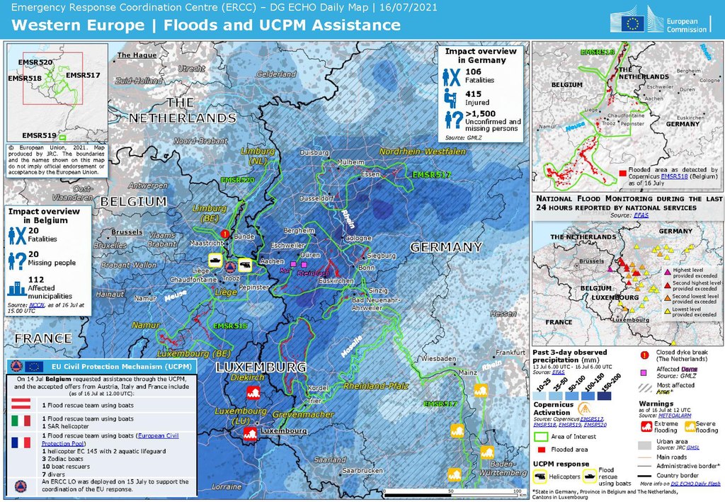
Upper-Level-Lows (ULLs) are a very common phenomenon in mid-lattitudes. They are usually associated with cold and rainy weather that can last for several days. When they remain stationary over a period of time, the can bring considerable amounts of rainfall locally. This synoptic situation has led in the past to floods and damages in infrastructure as will be show by the example of the Central European Flood in summer 2021.
This training module focusses on the meteorological aspects of ULLs, describes the life-cycle and throws a spottlight on the involved physical processes that accompany this meteorological phenomenon. Each stage of development is exemplified by satellite loops and corresponding NWP parameters. Exercises will help you to check the acquired knowledge.
Marianne Koenig gives a short introduction to some established methods to derive meteorological products from satellite data, including the benefits and downsides of products.
Length: 30 minutes.
The course gives a short introduction to some established methods to derive meteorological products from satellite data, including the benefits and downsides of products. Product examples will mainly focus on the MSG products, derived centrally at EUMETSAT and within the NWC SAF project.
Gavin Robbins presents the meteorological conditions that led to the largest coastal surge down the East Coast of England since 1953.
Length: 30 minutes.
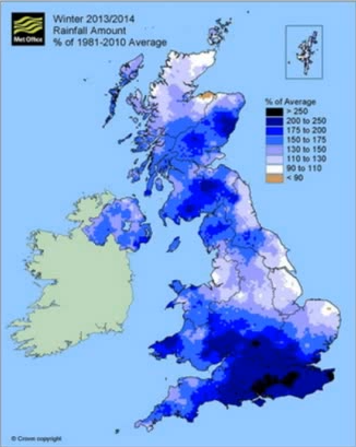
The winter of 2013-14 was the wettest for 250 years across England and Wales, with a succession of storms bringing sustained flooding from all natural sources, coastal, fluvial, surface water and groundwater. The presentation will start with an overview of the meteorological conditions that led to the largest coastal surge down the East Coast of England since 1953. The hydrometeorological conditions and flooding through late December 2013 to March 2014 will then be considered, along with examples and mechanisms of communicating the high impact conditions to emergency responders and Central Government. This included two briefings directly to our Prime Minister. Meteorological drivers and the possible teleconnections behind the exceptional conditions will also be considered.

