
Forecast of Clear Air Turbulence (CAT) with Satellite Images and the ICON model, based on Eddy Dissipation Rate
Peter Schmitt analyses the different aspects of CAT and presents a CAT forecasting method.
Length: 40 min
Author: Peter Schmitt (DWD)
Clear air turbulence (CAT) is the term for medium- or high-level turbulence in regions with significant wind shear. CAT is an important factor for the aviation safety.
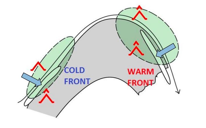
In the first part of the presentation, I will show you typical parts of CAT in relation with the 300 hPa geopotential analysis. Furthermore you get an overview to the correlation between CAT and characteristic cloud patterns in satellite images. In many cases satellite images provide the first clue or a confirmation for the presence auf CAT.
The second part is dedicated the forecast of CAT in Deutscher Wetterdienst (DWD) with the ICON model. DWD has been applying a forecast method based on Eddy Dissipation Rate (EDR). This real property of atmospheric turbulence is the main sink term of Turbulent Kinetic Energy. In a case study you will see the typical working process in practice with consideration of the model output, typical cloud pattern in satellite image and the use of the conceptual model and the structure of geopotential field.