
Challenges of Using Geostationary Satellite Data in High-Latitude regions
Competency Framework
WMO Satellite Skills
Application
Description
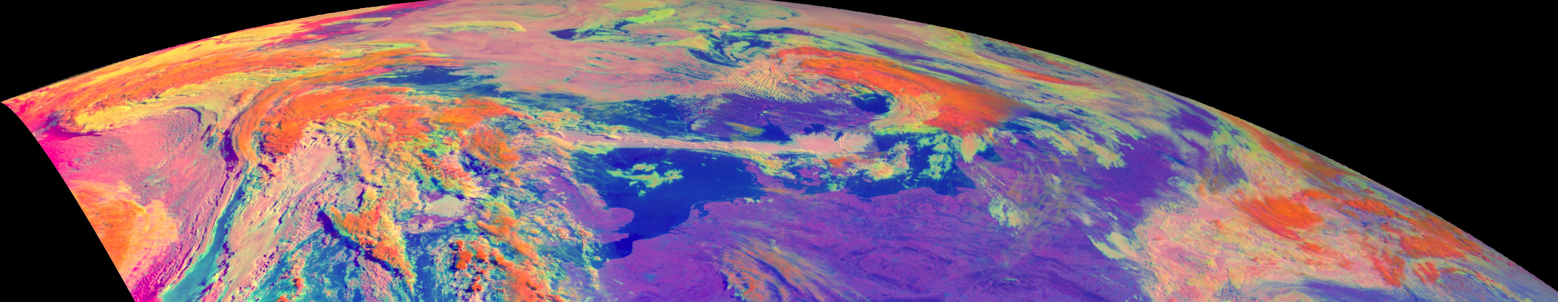
This training module shows the unique challenges that forecasters face when using satellite imagery in high latitude regions. Using a lot of examples and fun exercises, it compares different types of satellites (geostationary, polar) and different generations of satellites as well as benefits and drawbacks of each. It also explains different phenomena that occur in these high latitude regions due to viewing geometry and much more.
Content