
Basic Satellite Course: Precipitation
Competency Framework
WMO Satellite Skills
Application
Description
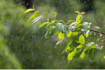
Identify and locate moisture features, precipitation types and amounts.
Content
This module teaches you how to use satellite data to observe and analyze atmospheric phenomena. It will show you which products can be used to identify dust storms, smoke, fires, precipitation, etc.
To access the resource click here.
Note: all resources are provided as an external link which redirects you to https://eumetcal.eu where you will need to create a user account in order to gain access to the course