
Meteosat WV Images
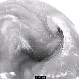
For knowing which processes are present in the atmosphere good interpretation of WV satellite images is needed. For gathering information about water vapor, SEVIRI instrument on board MSG satellite is scanning atmosphere in two channels in water vapor absorption band; 6.2 and 7.3 µm.
WV images are like a footprint of absorption of radiation by a water vapor, which is the main absorber in the atmosphere. Therefore it is clear that understanding of these images can tell us a lot about footprint of atmosphere itself and about processes in it. For knowing which processes are present in the atmosphere good interpretation of WV satellite images is needed.
For gathering information about water vapor, SEVIRI instrument on board MSG satellite is scanning atmosphere in two channels in water vapor absorption band; 6.2 and 7.3 µm. Among these two WV channels, the radiation in channel 6.2 µm is more easily absorbed by water vapor and has a larger information content. Thus is called primary WV channel and is broadly used in image format for weather analysis and forecasting based on synoptic scale interpretation. 7.3 µm channel can also be used in operational forecasting environment for detecting mid-level moisture features associated with low-level thermodynamic conditions. Presenter for this one hour lesson is Christo Georgiev, from Bulgarian National Institute of Meteorology and Hydrology.