Weather situation on 12 Nov 2014
The satellite images show the curvature of the ITCZ very clearly. The Polarstern is now sailing in the southern part of the ITCZ and thunderstorms are still possible. During the day the vessel will reach the southeasterly trade winds with a decreasing probability of showers. The Dust RGB's dark bluish color implies that the airmass is very moist in the lower layers of the troposphere.
See the SYNOP report and the recorded dewpoint at 12 UTC of 23,0°C and an air temperature of 26,8°C.
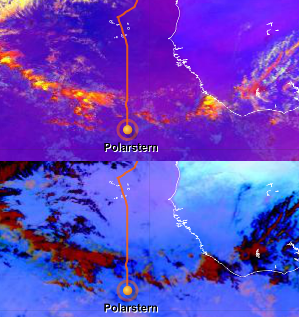
Figure L2-20: 12 Nov 2014, 12:00 UTC. Above: Severe Storms RGB. Below: Dust RGB. Source: EUMeTrain.
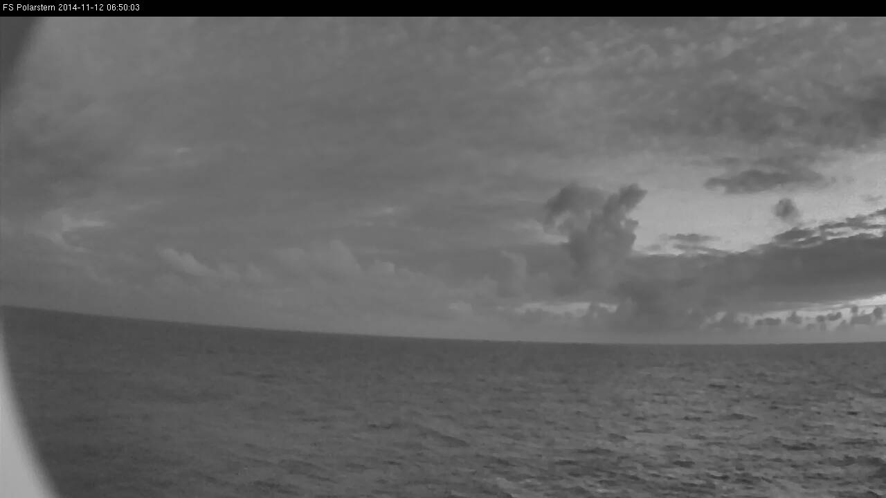
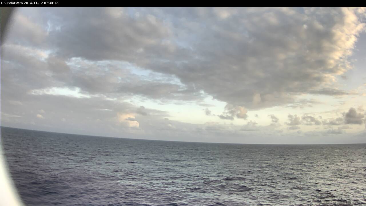
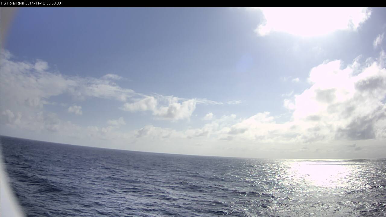
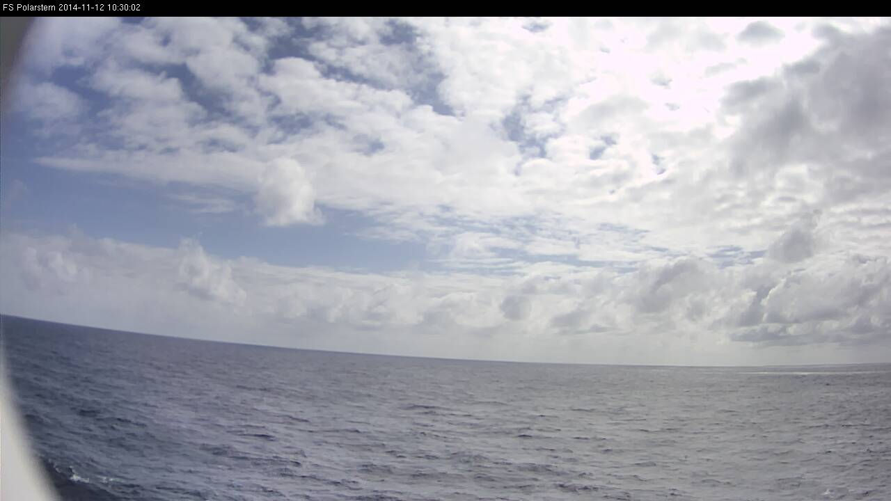
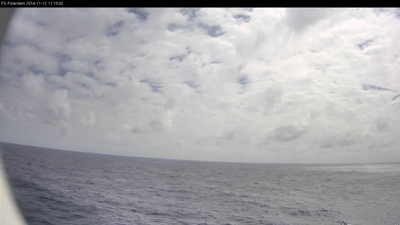
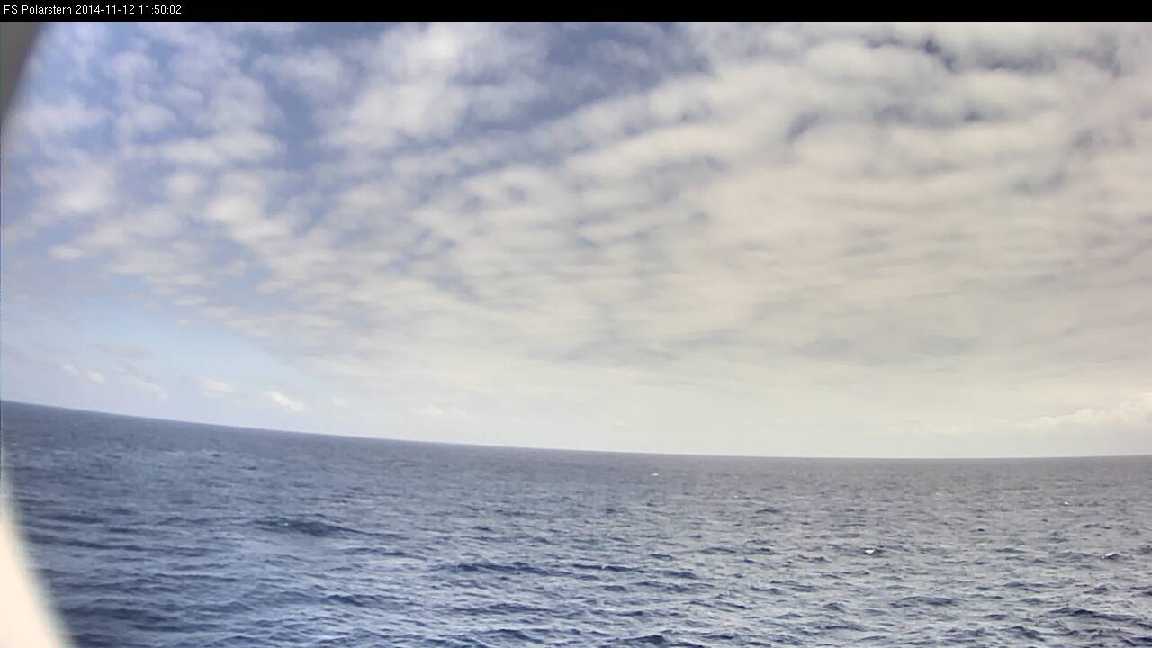
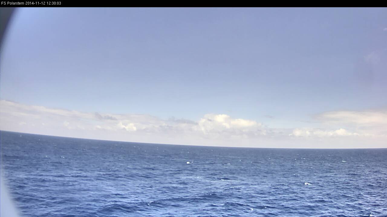
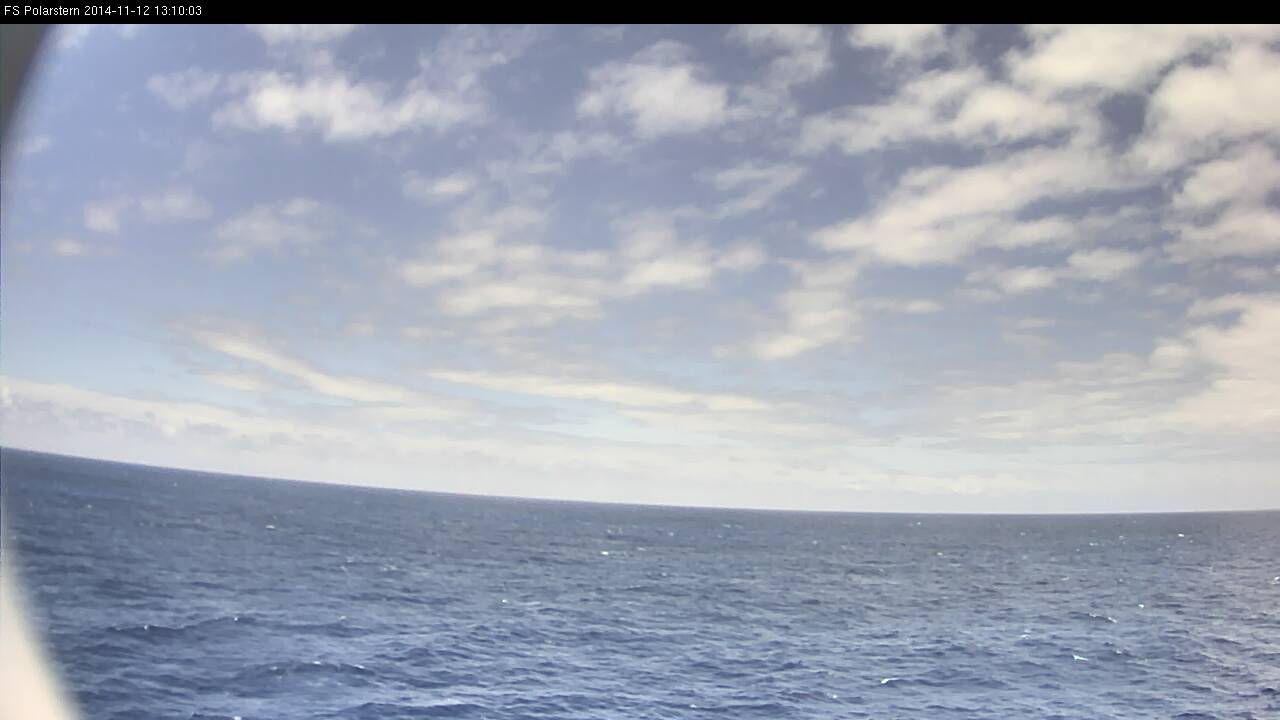
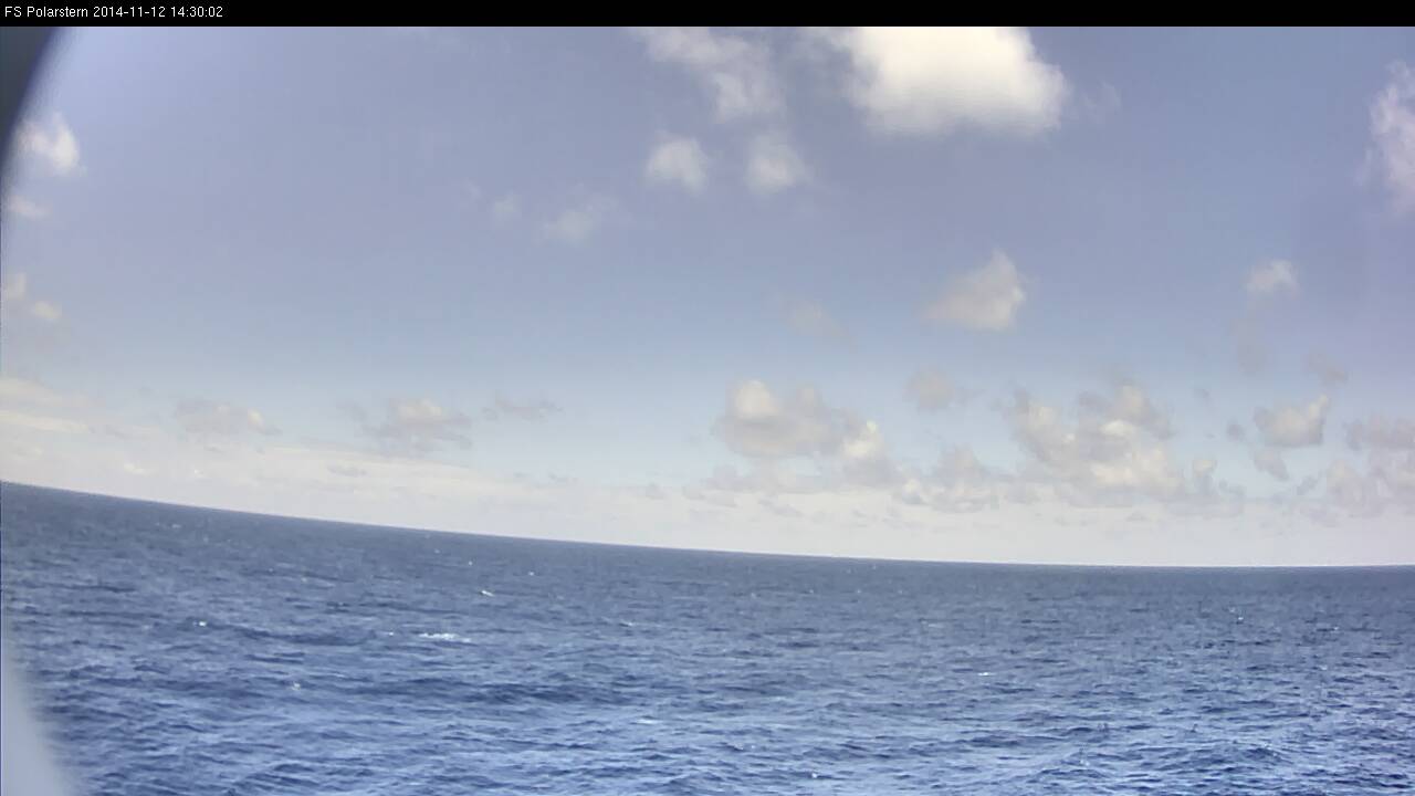
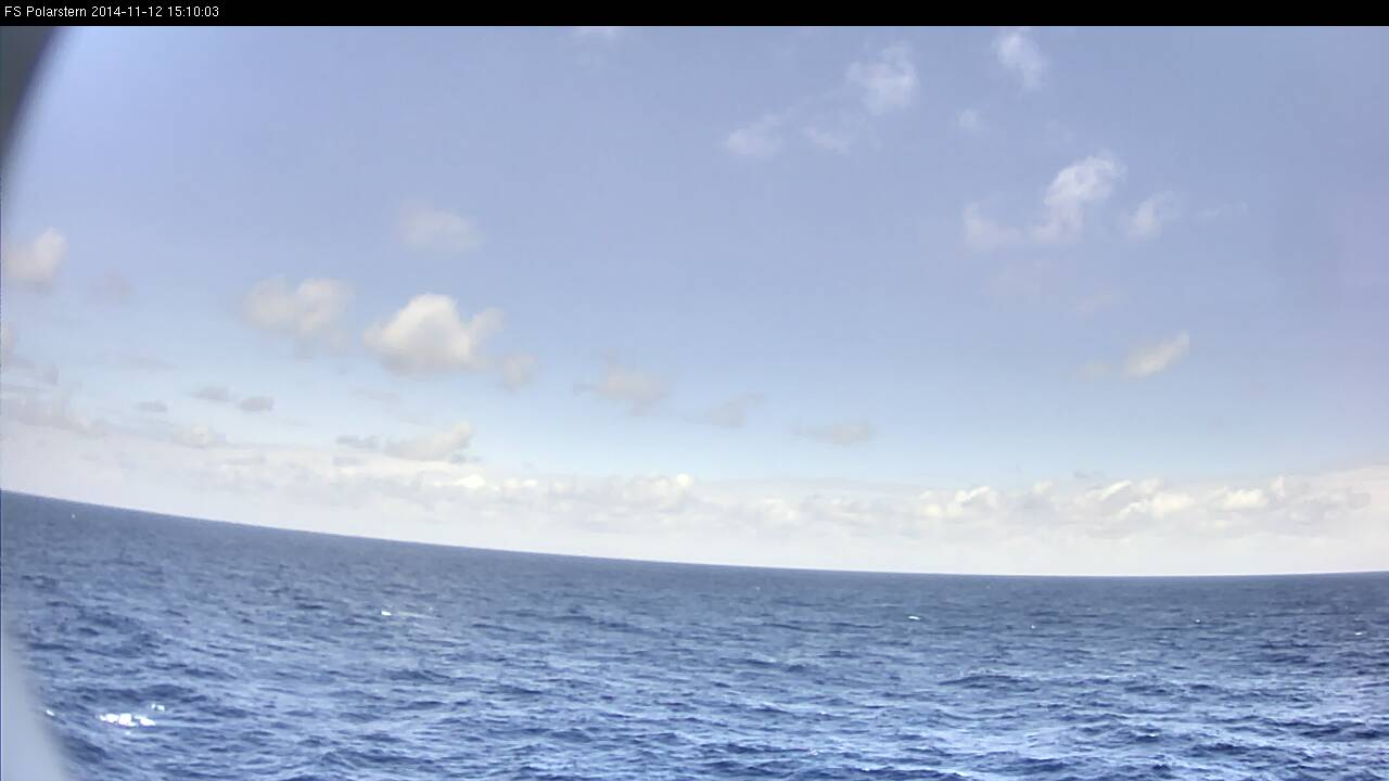
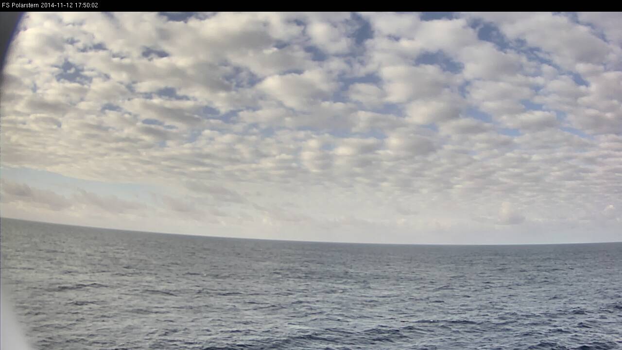
You can compare the webcam image in Fig. L2-21 with the 12:00 UTC SYNOP code, which reports 5/8 cumulus and stratocumulus with bases at different heights and cirrus fibratus in the higher levels.
SYNOP-Report from 12:00 UTC
DBLK 12121 99020 70230 11598 51308 10268 20230 40112 58001 6///1 70182 85801
22242 04274 20402 314// 40703 6//// =

Figure L2-21: 12 Nov 2014, 12:00 UTC. Source: DWD.
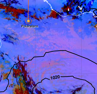
Figure L2-22: 12 Nov 2014, 12:00 UTC. Dust RGB. Source: EUMeTrain.
The Dust RGB in Fig. L2-22 shows the cloud situation of the next days in magenta. Under the influence of sinking air and an inversion, there are typical low water clouds (cumulus, stratocumulus) in the southeastern trade wind zone.

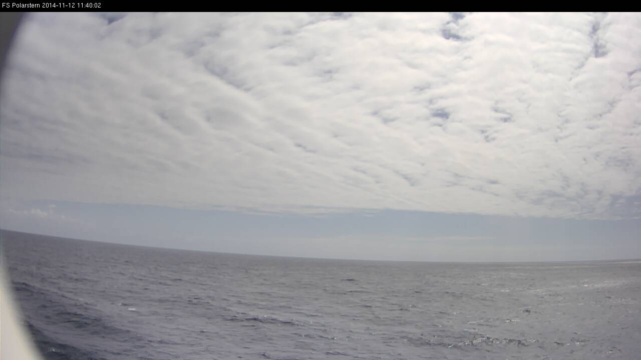
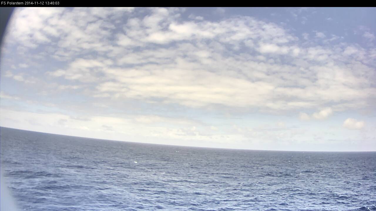
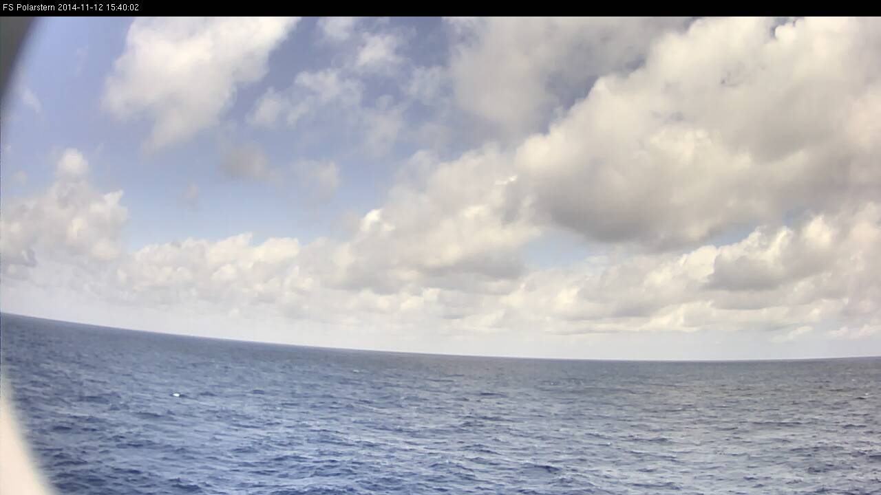
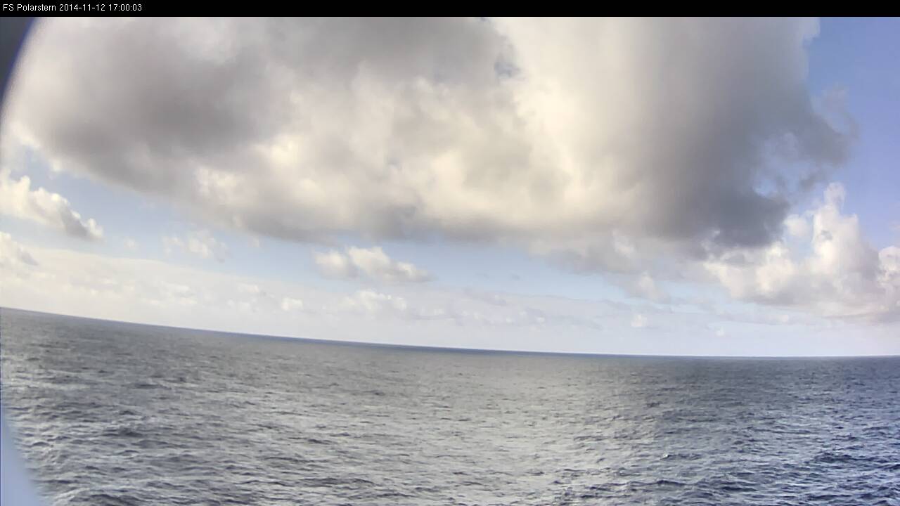
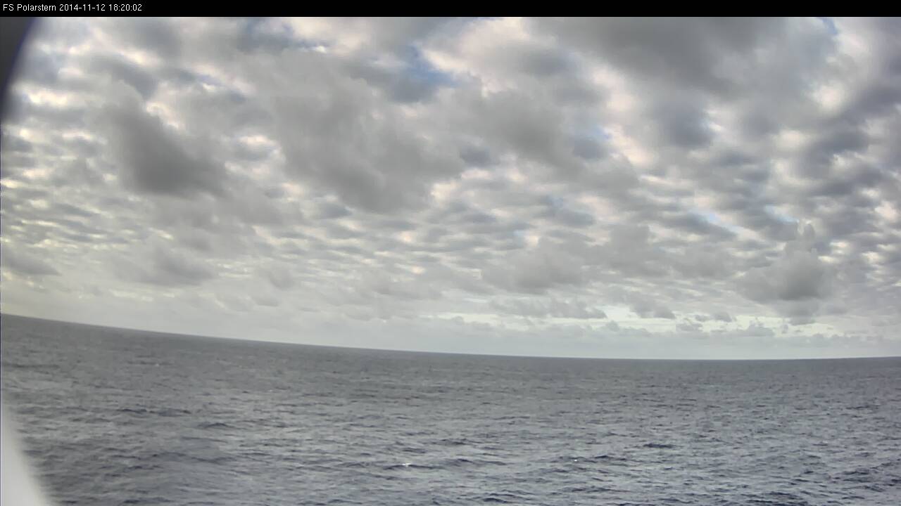
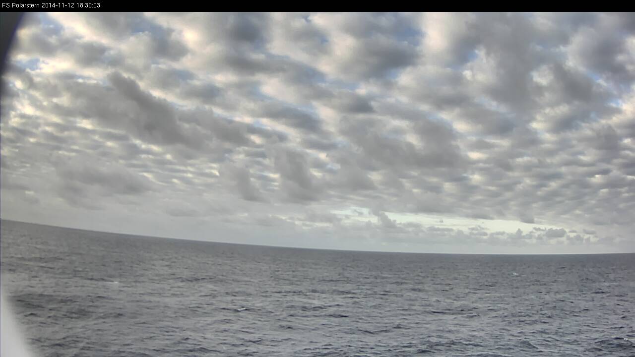
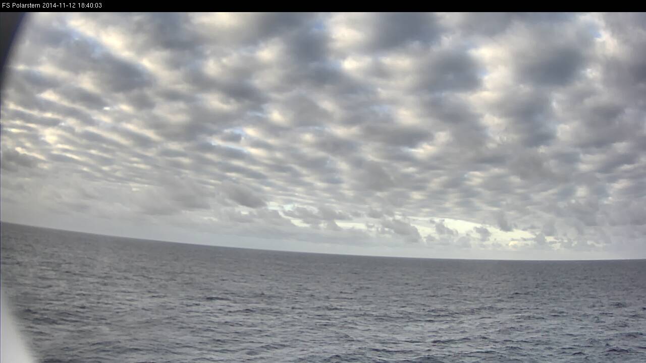
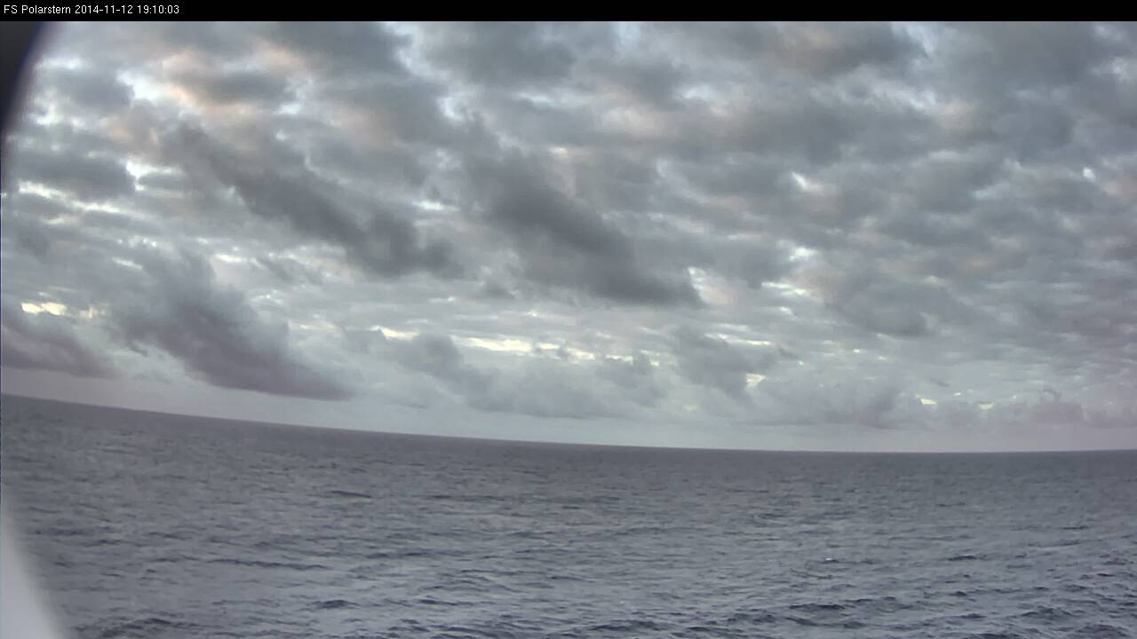
Figure L2-23: 12 Nov 2014, 18:40 UTC.
In the webcam image from 18:40 UTC the cloud situation of the trade wind zone returns. Note the last shower cells in the background.
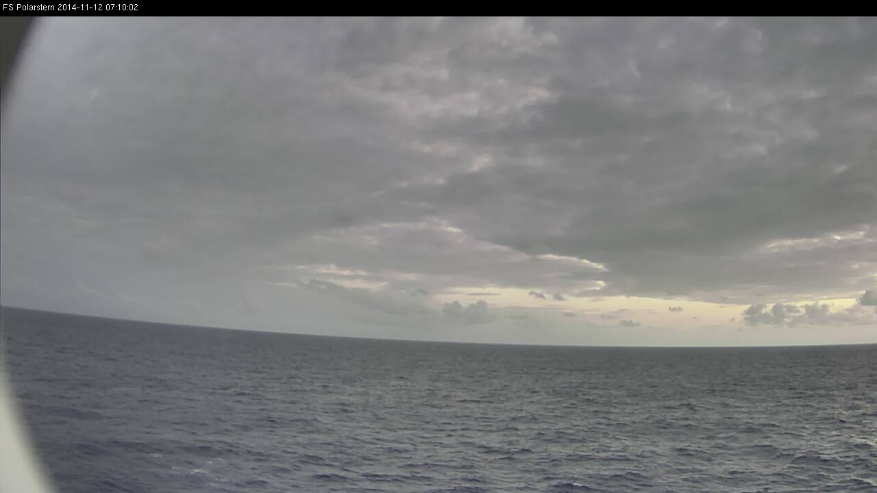
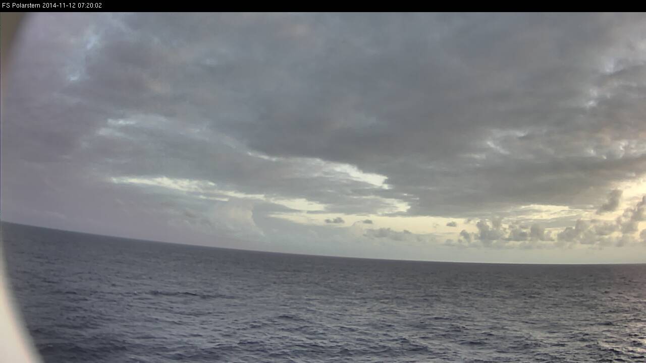
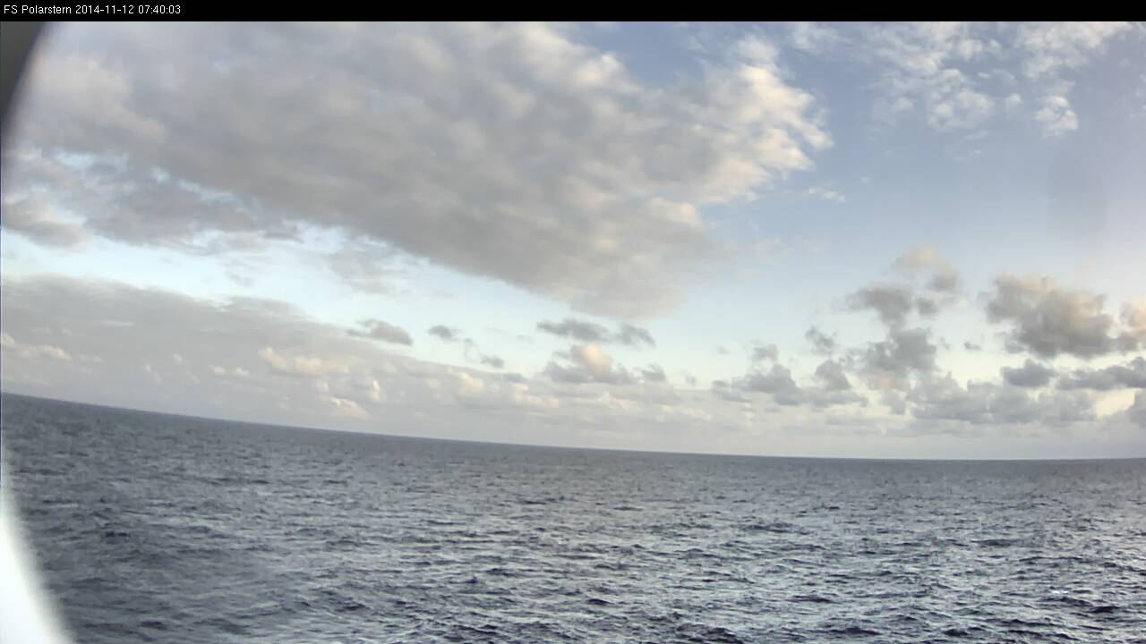
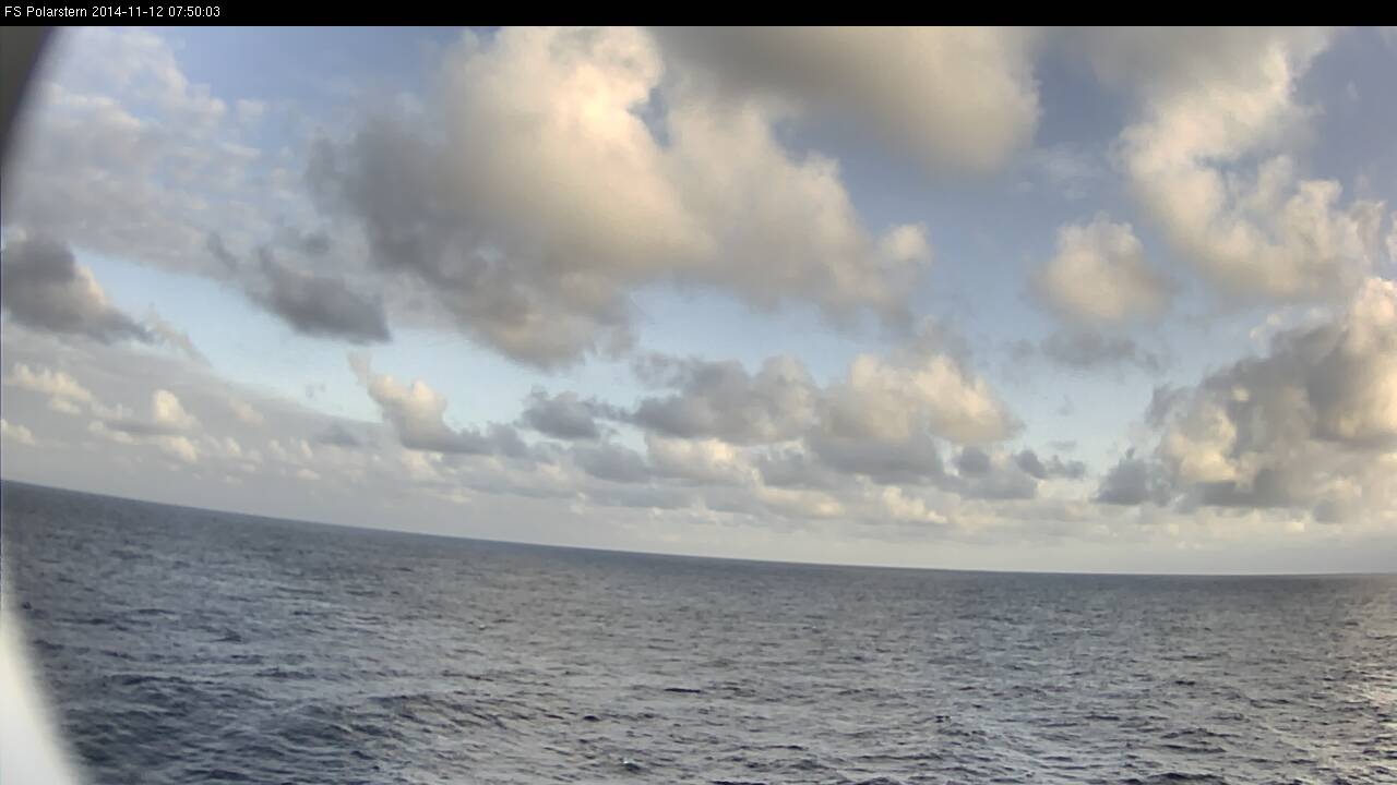
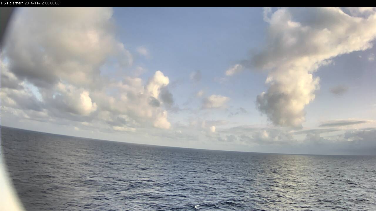
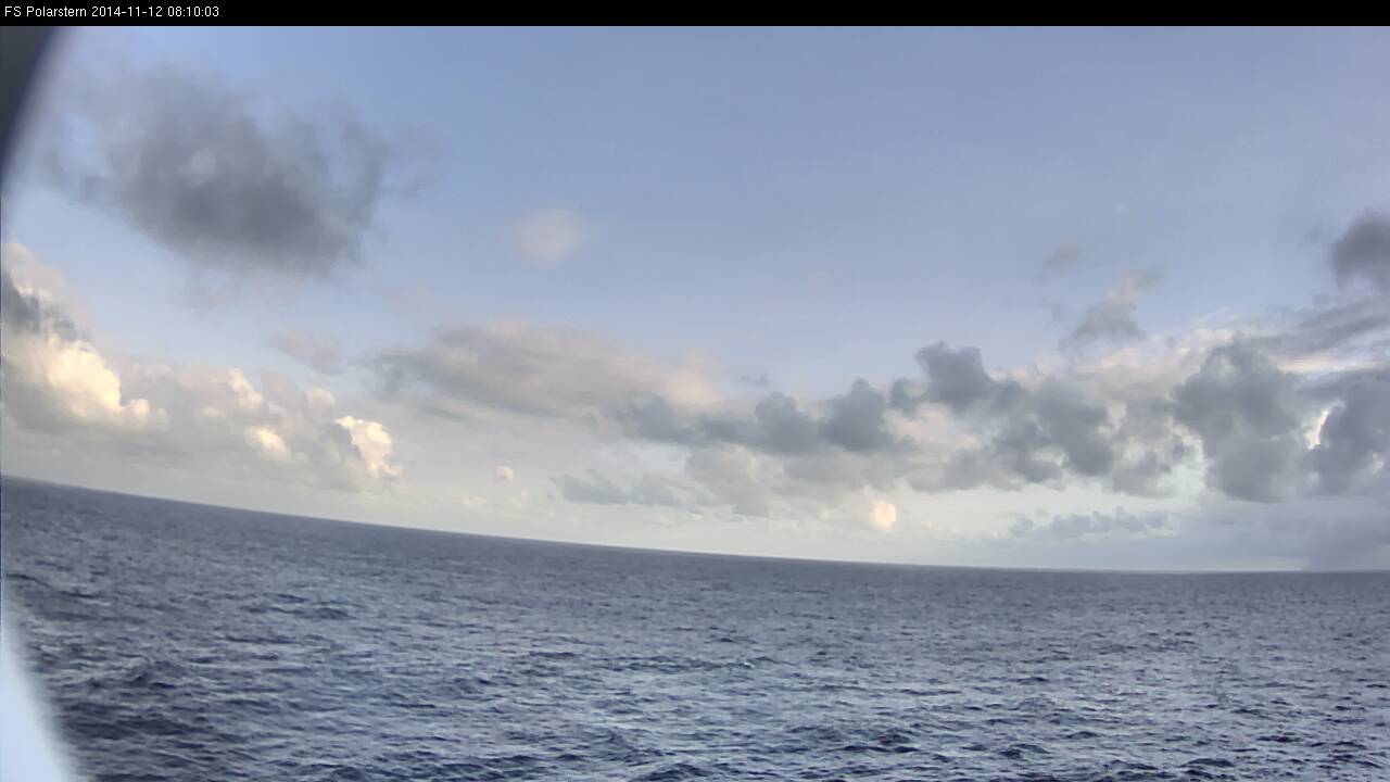
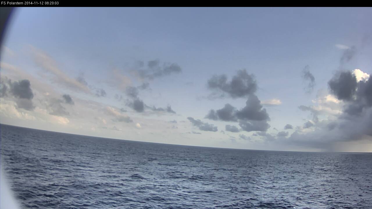
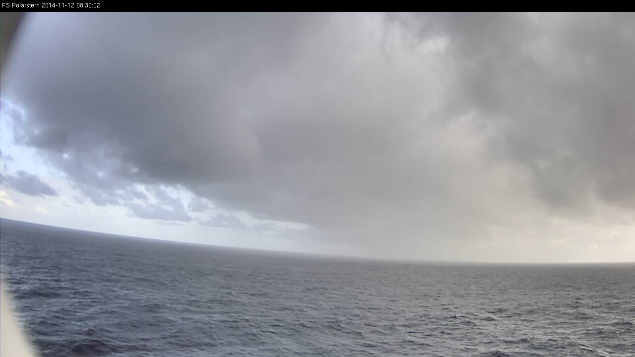
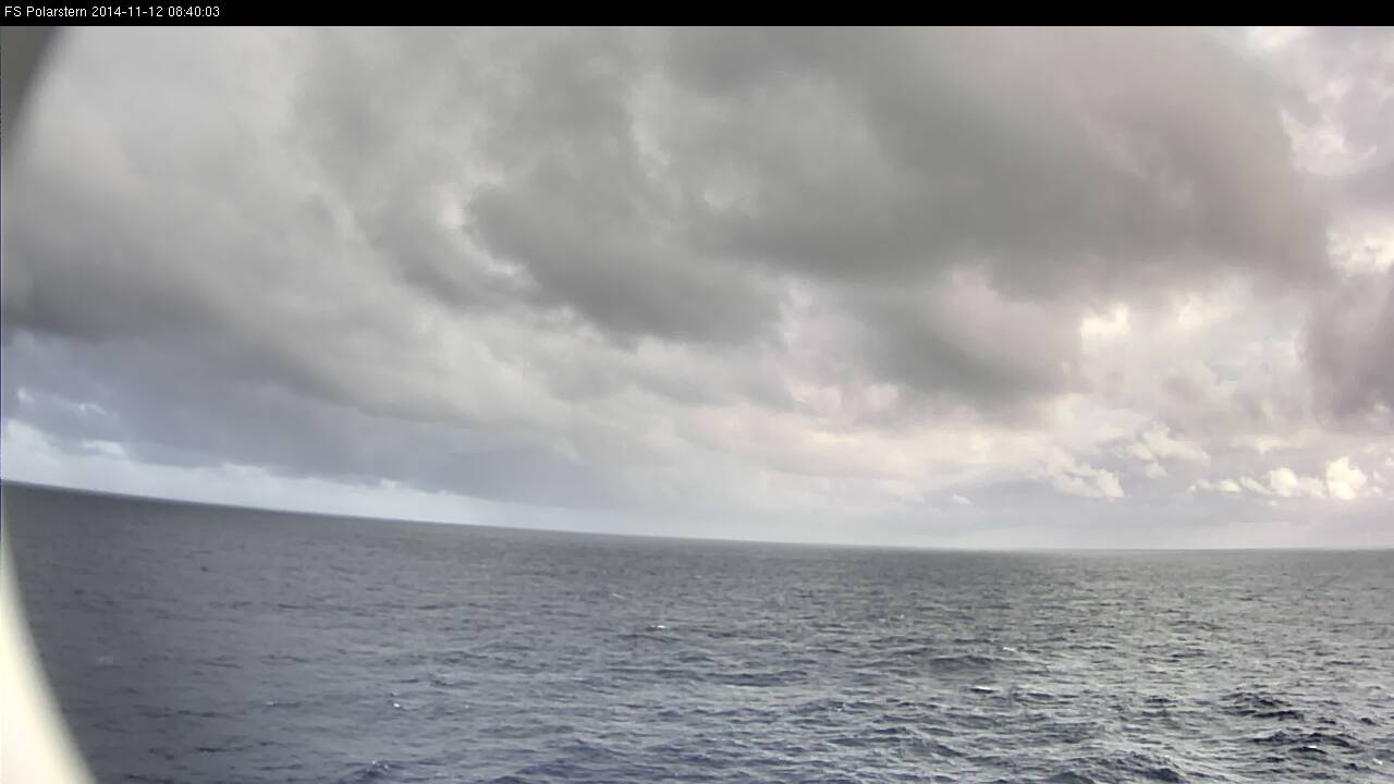
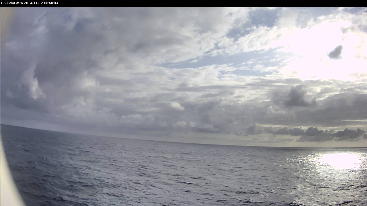
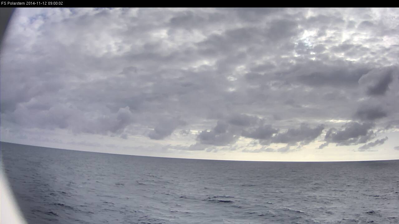
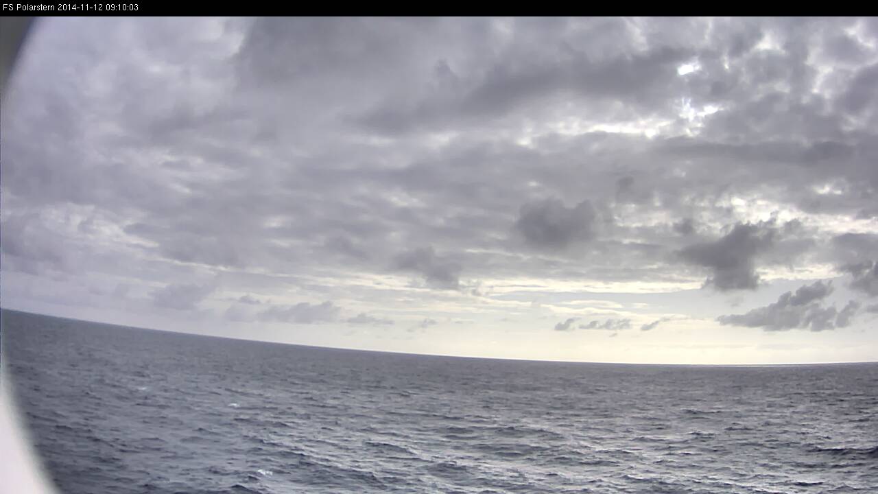
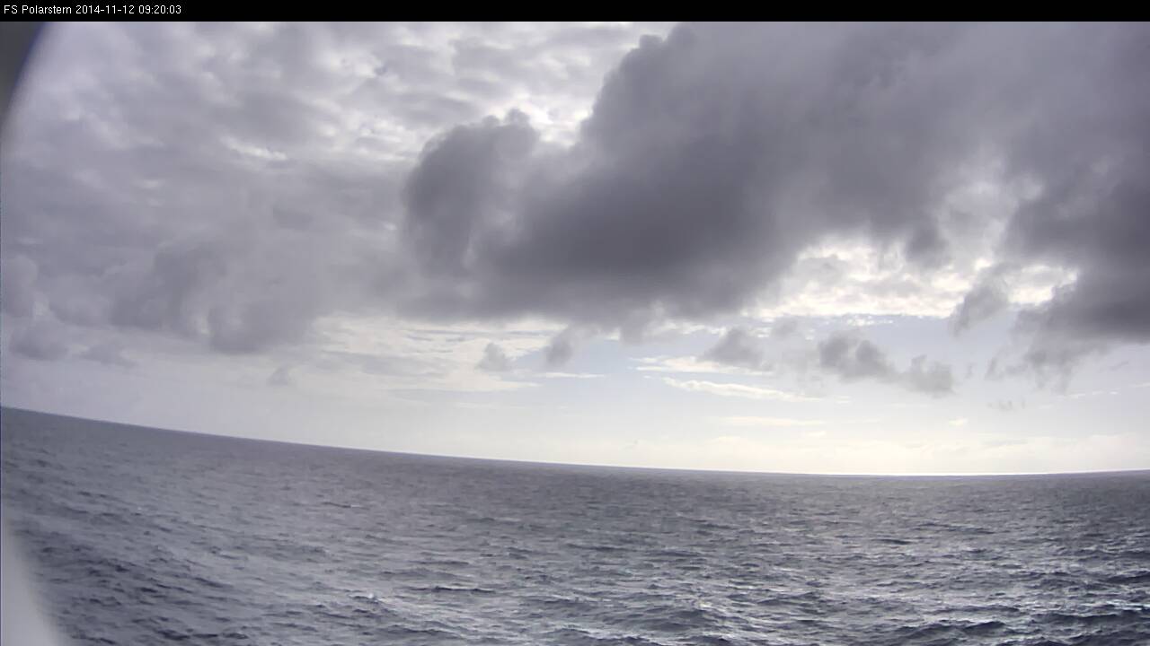
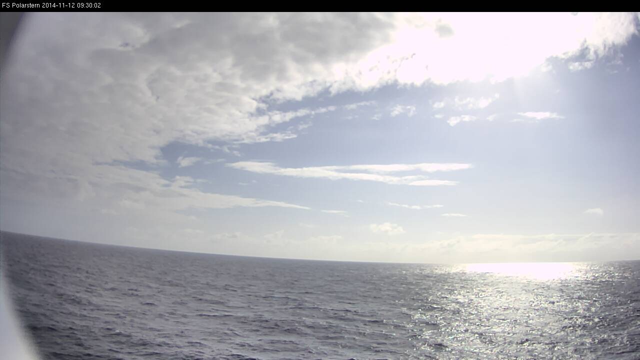
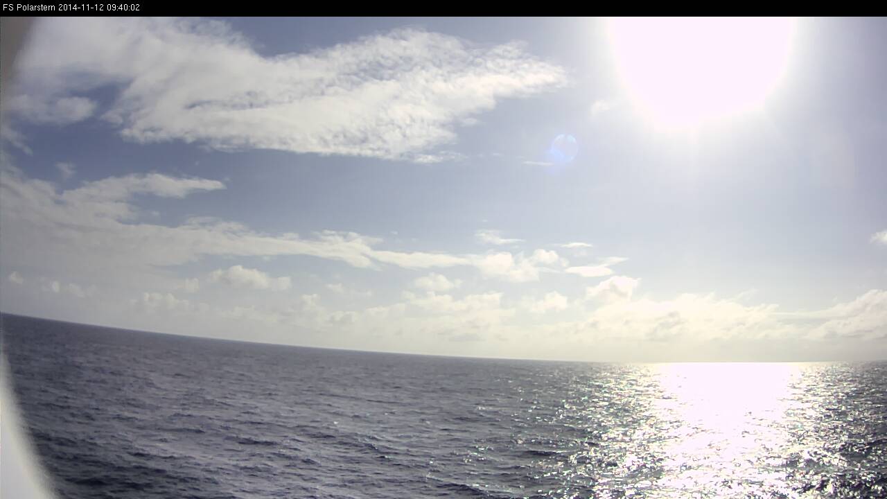
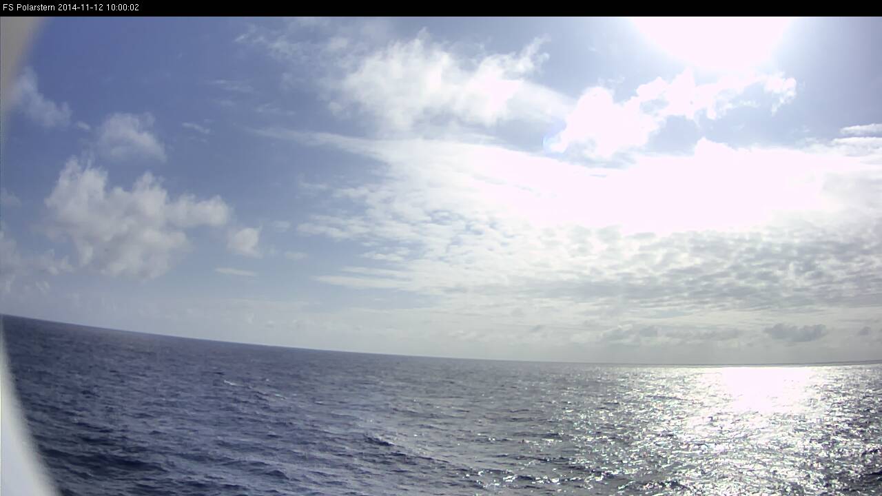
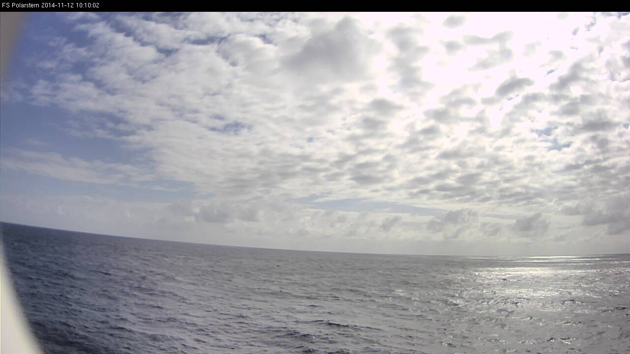
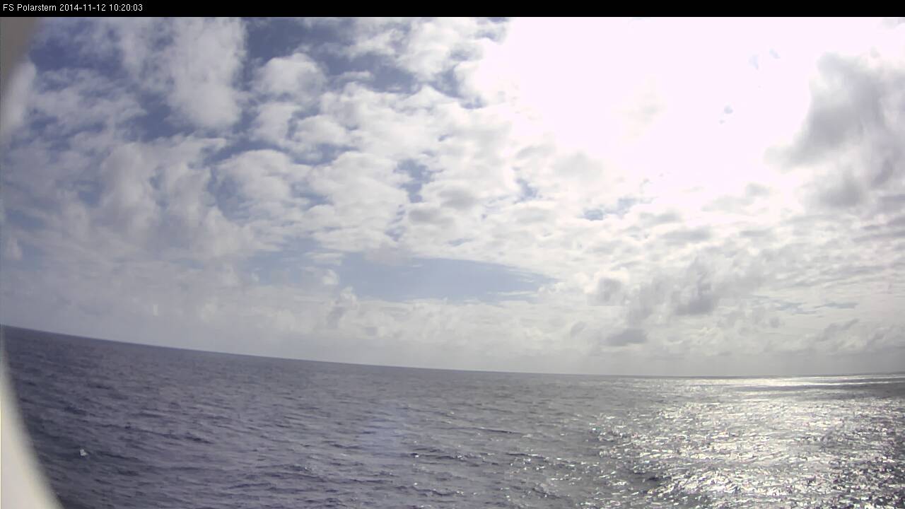
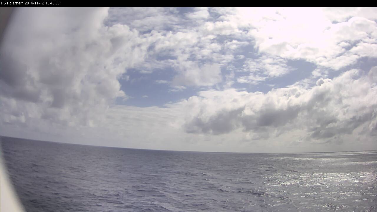
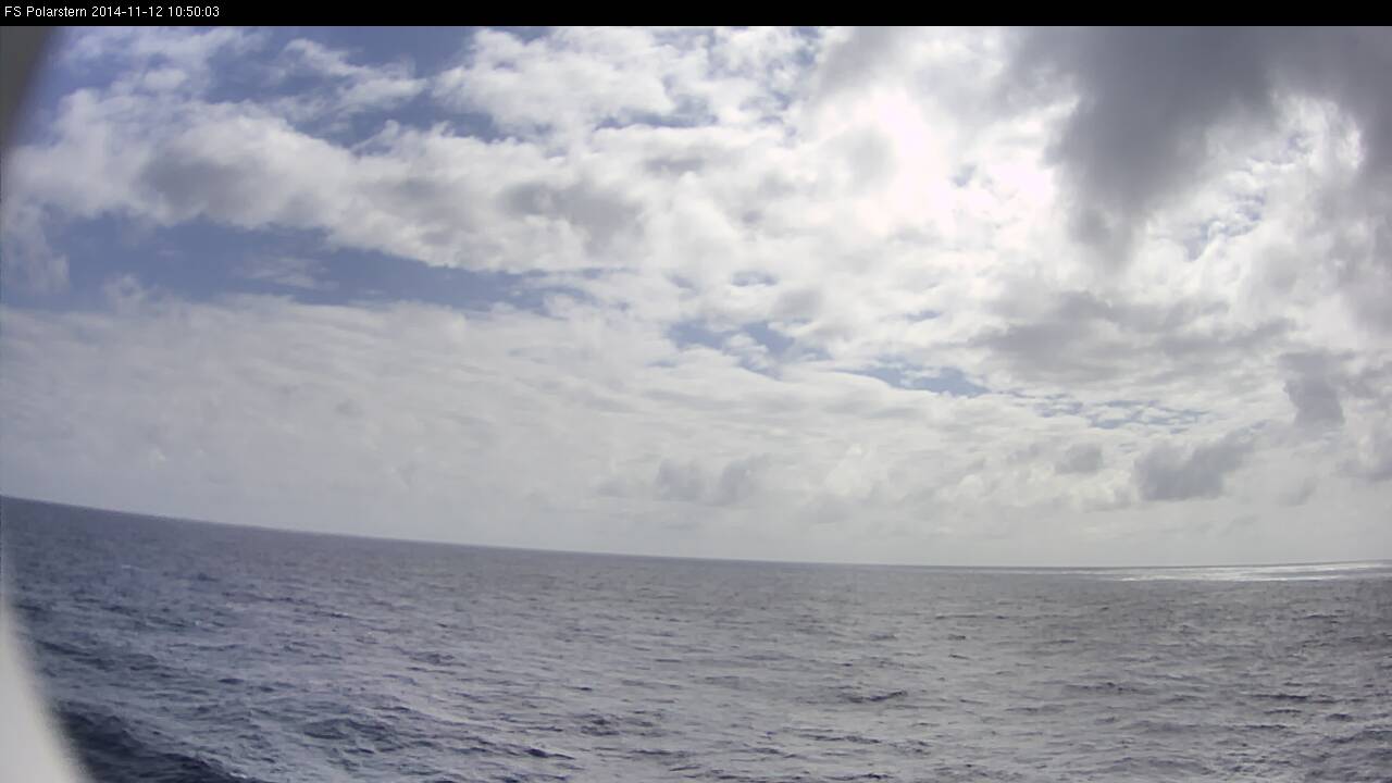
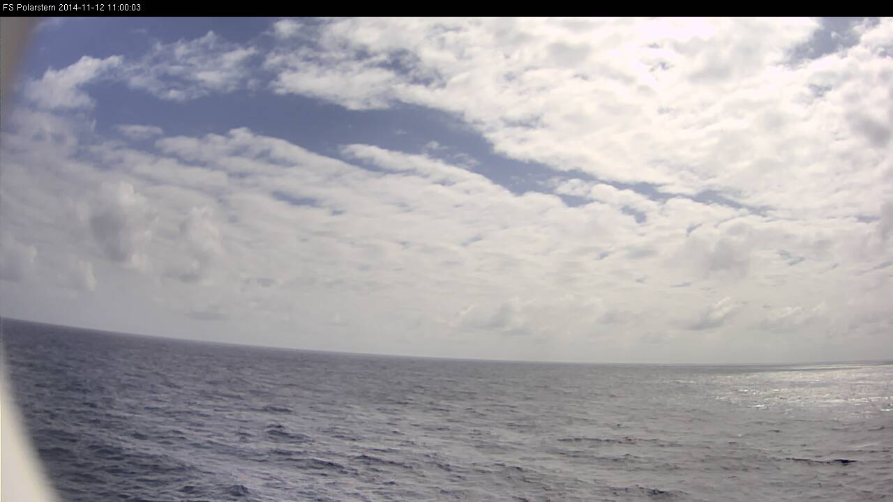
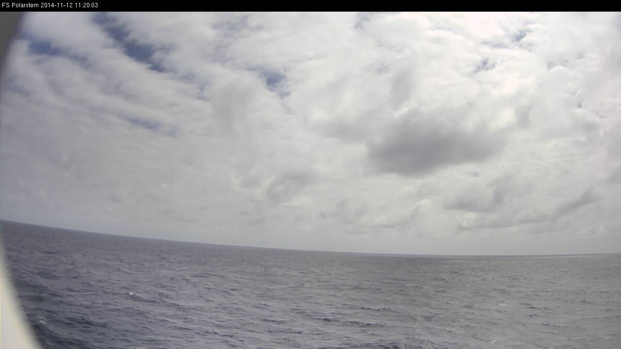
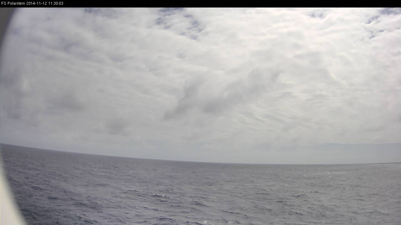
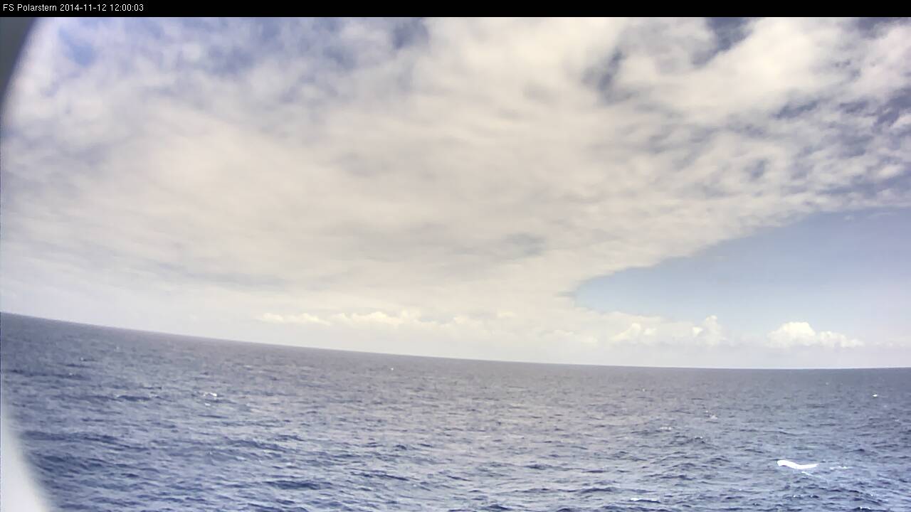
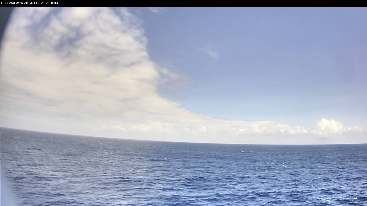
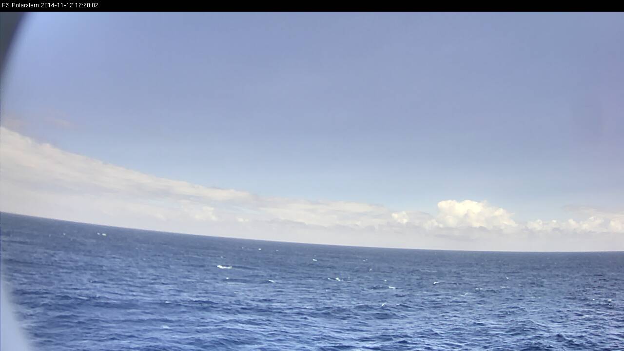
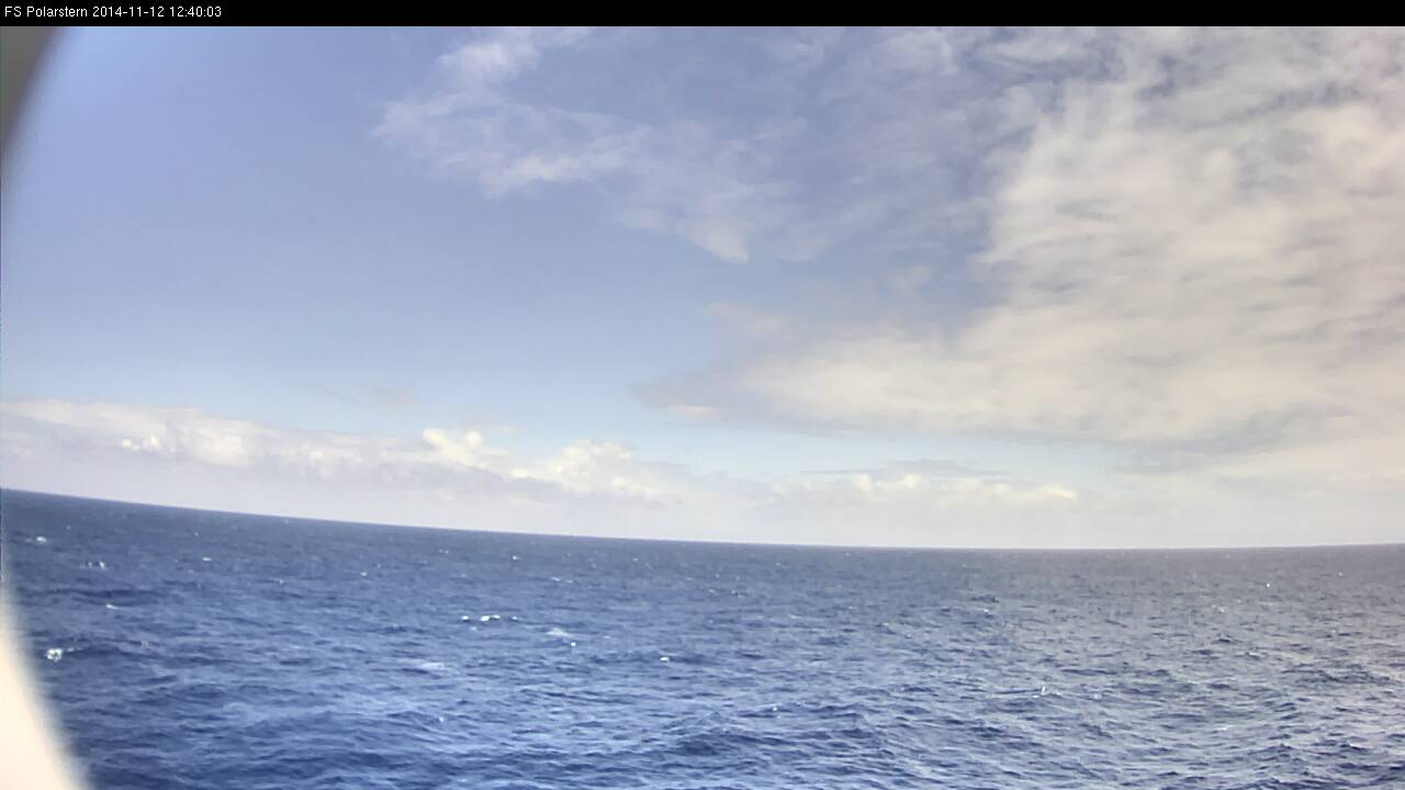
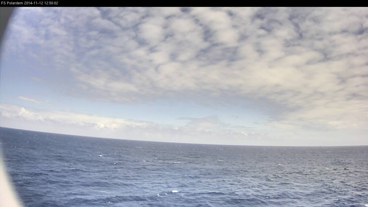
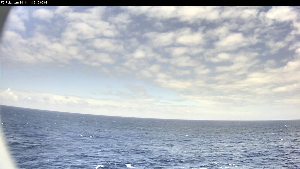
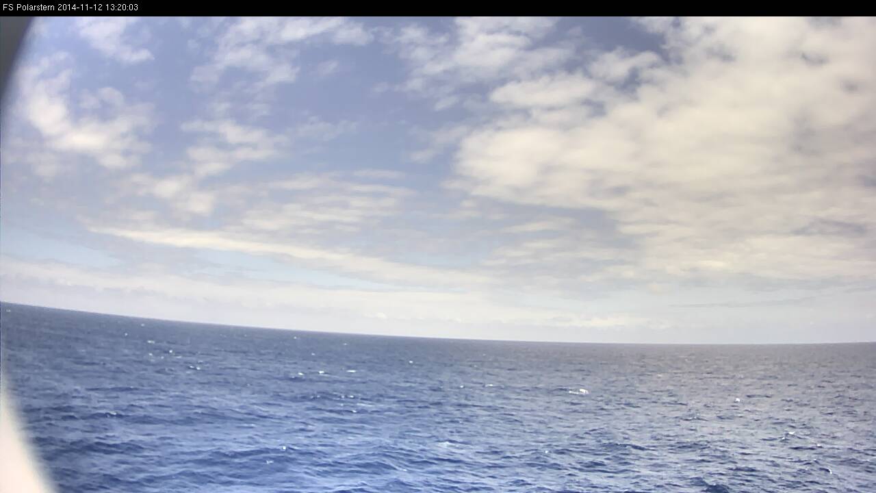
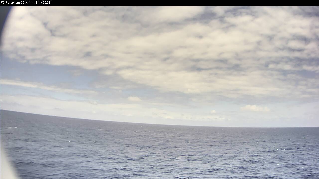
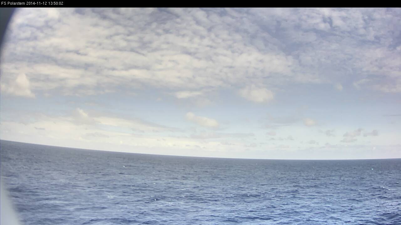
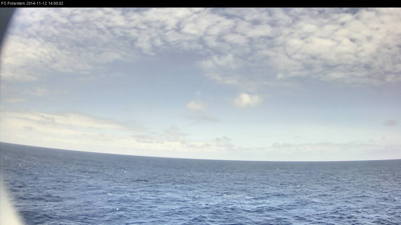
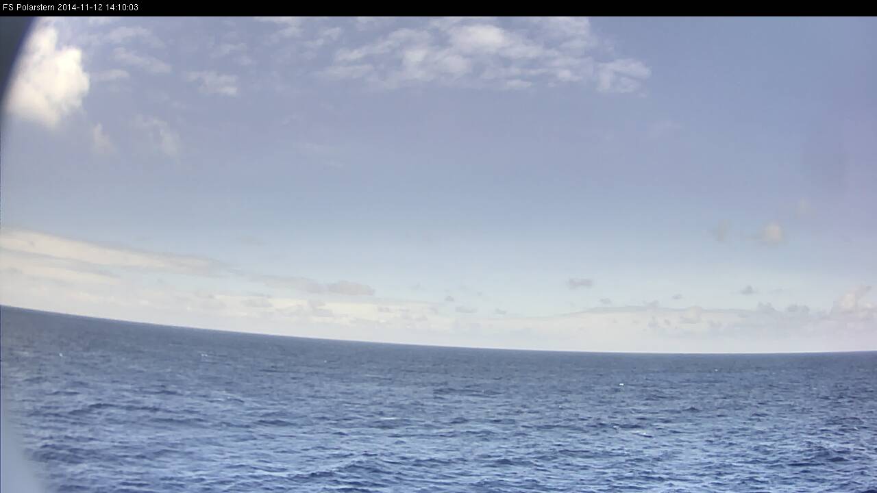
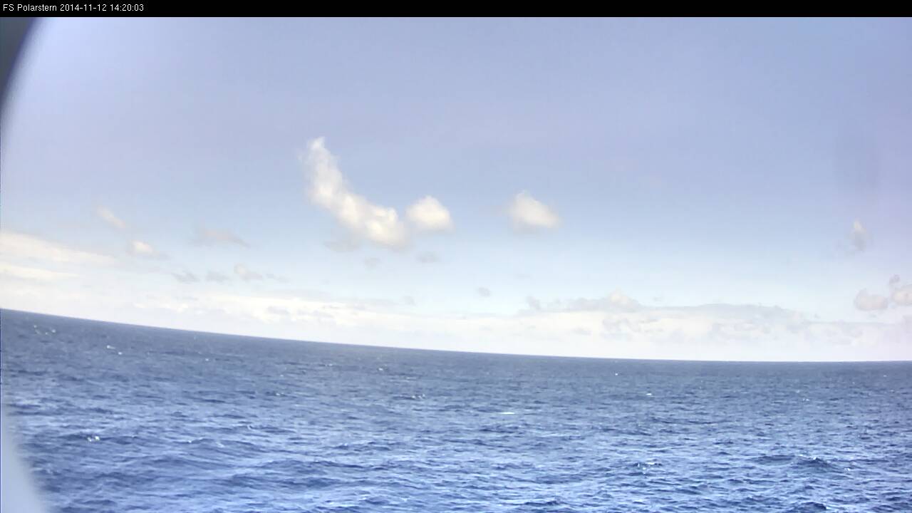
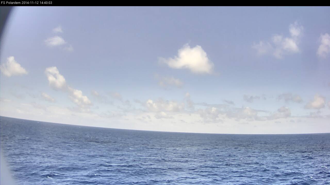
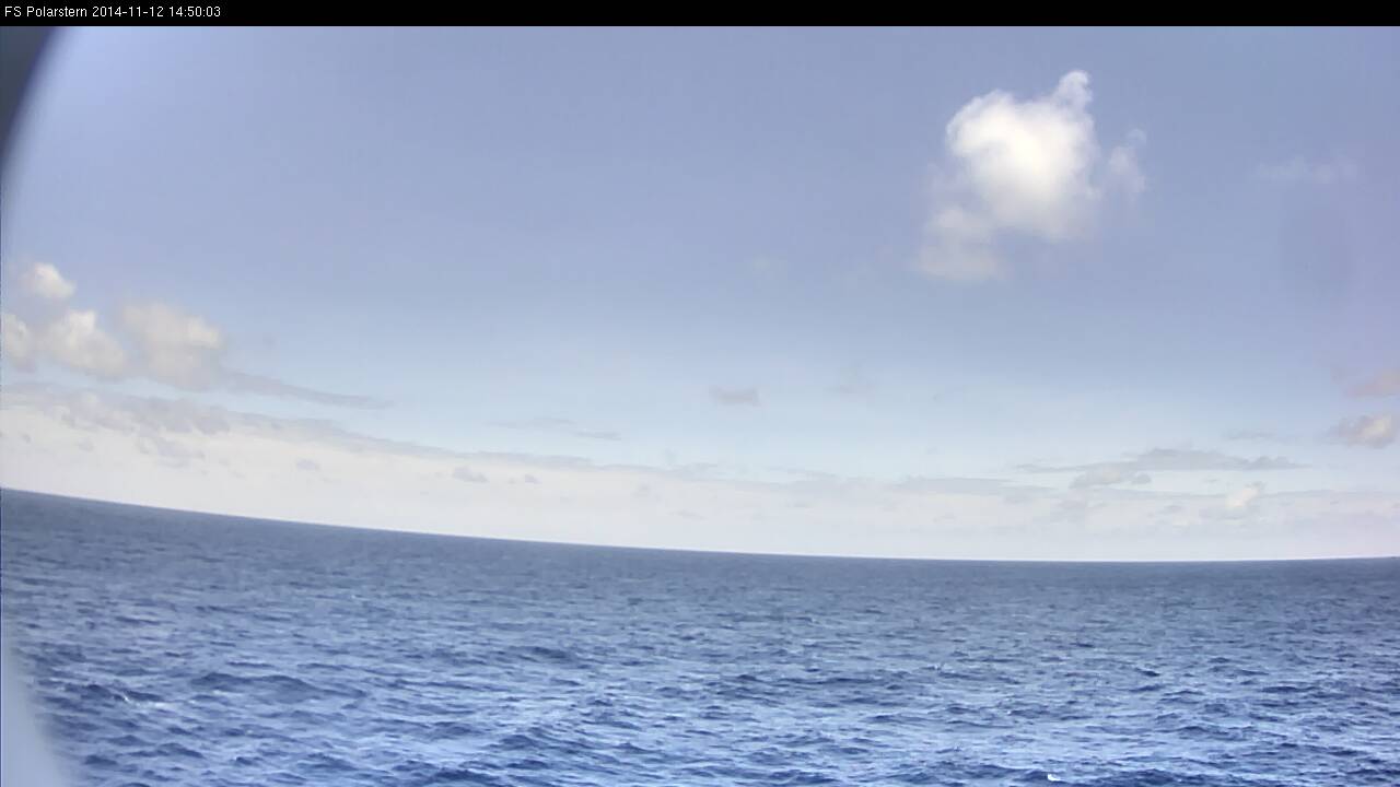
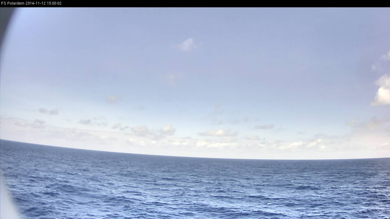
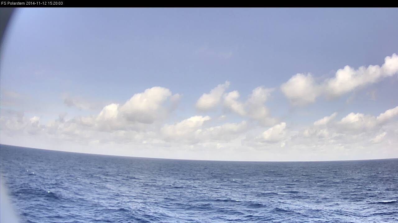
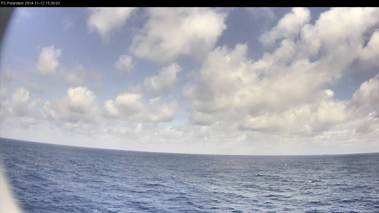
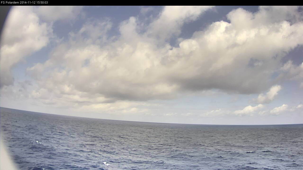
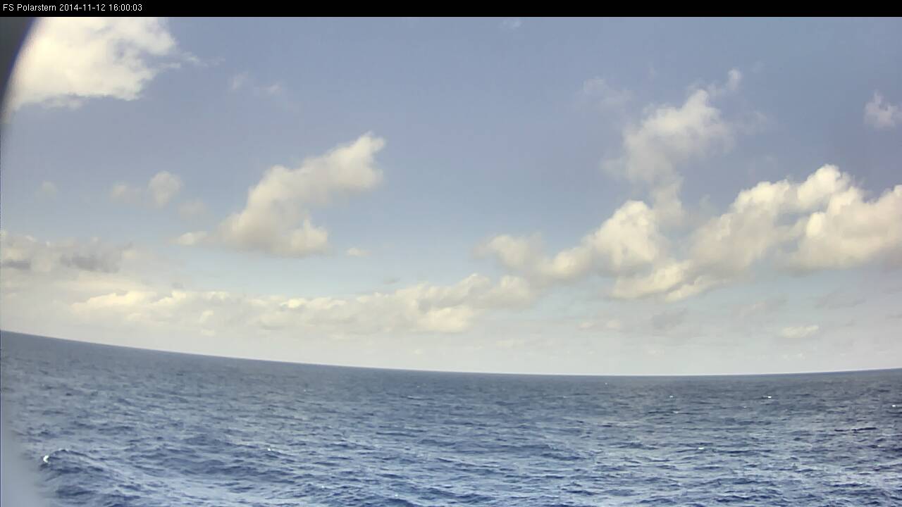
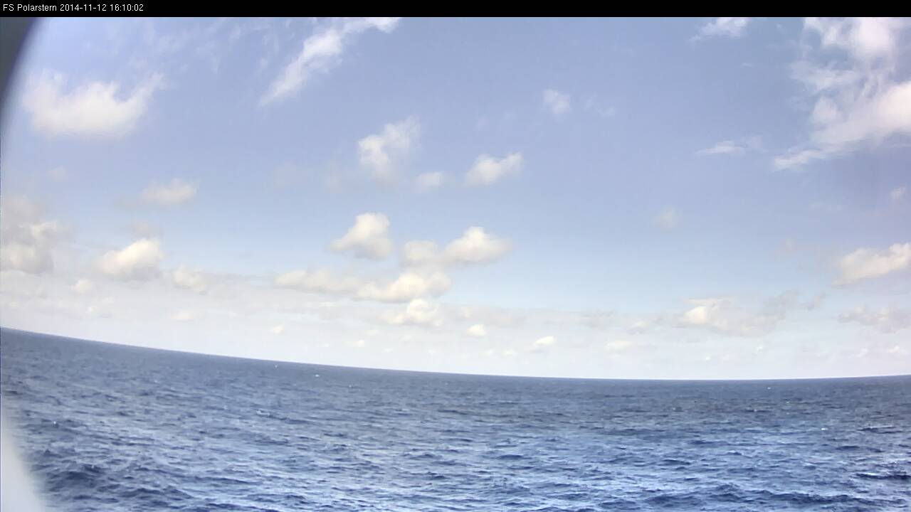
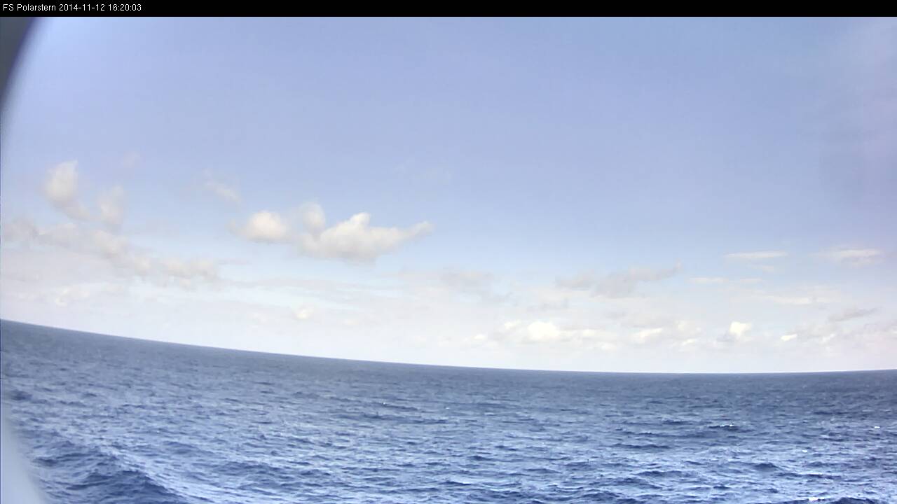
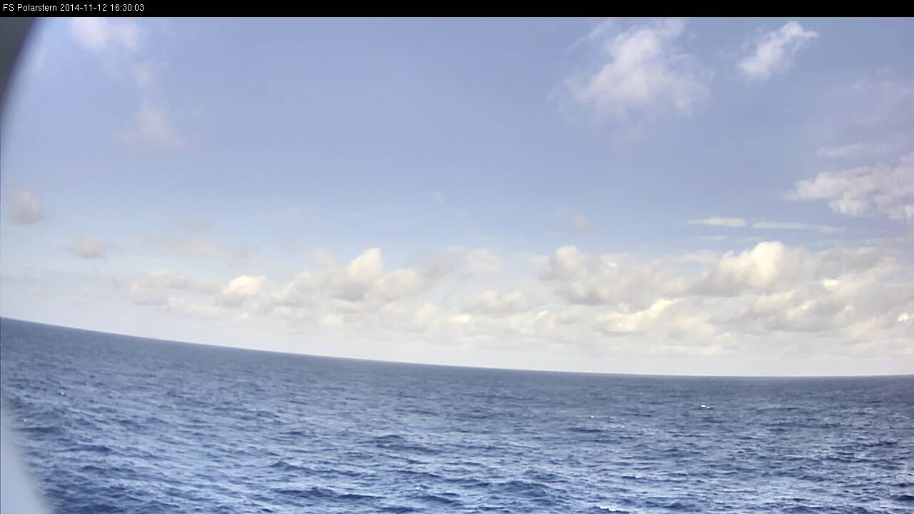
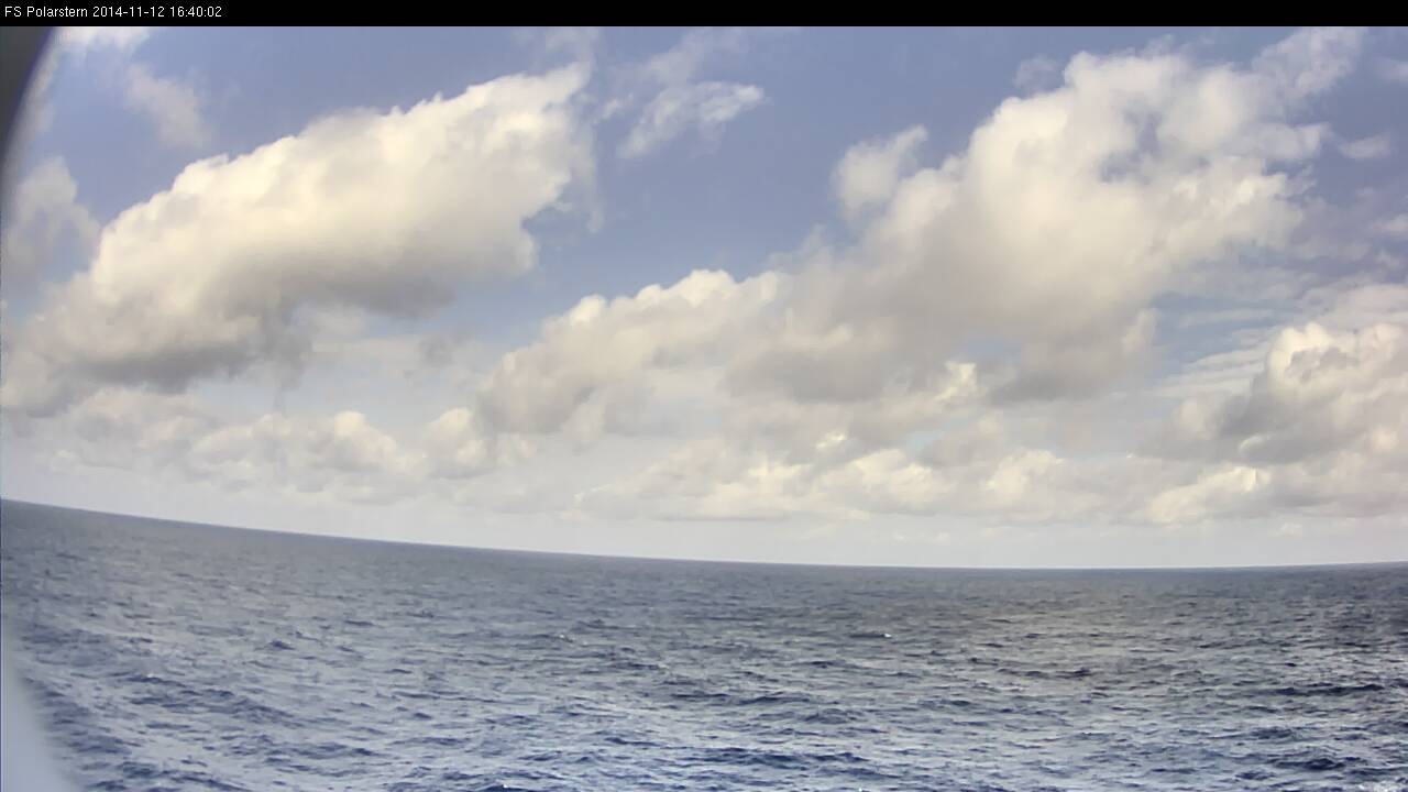
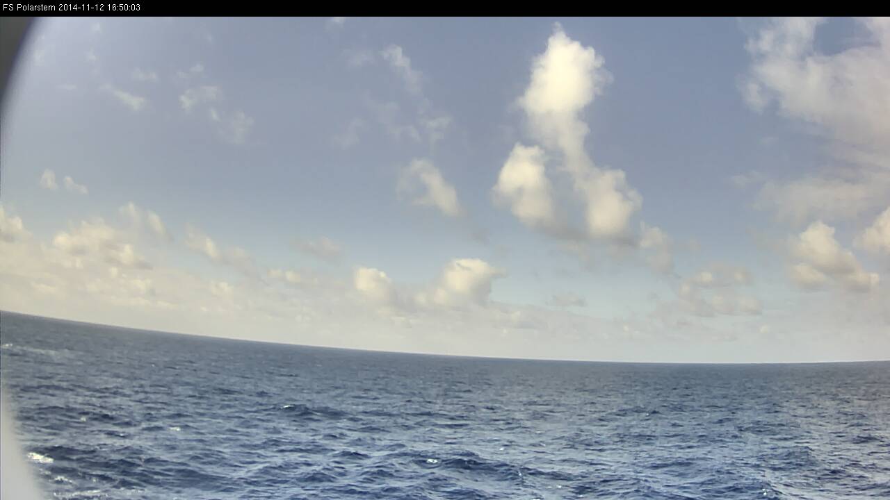
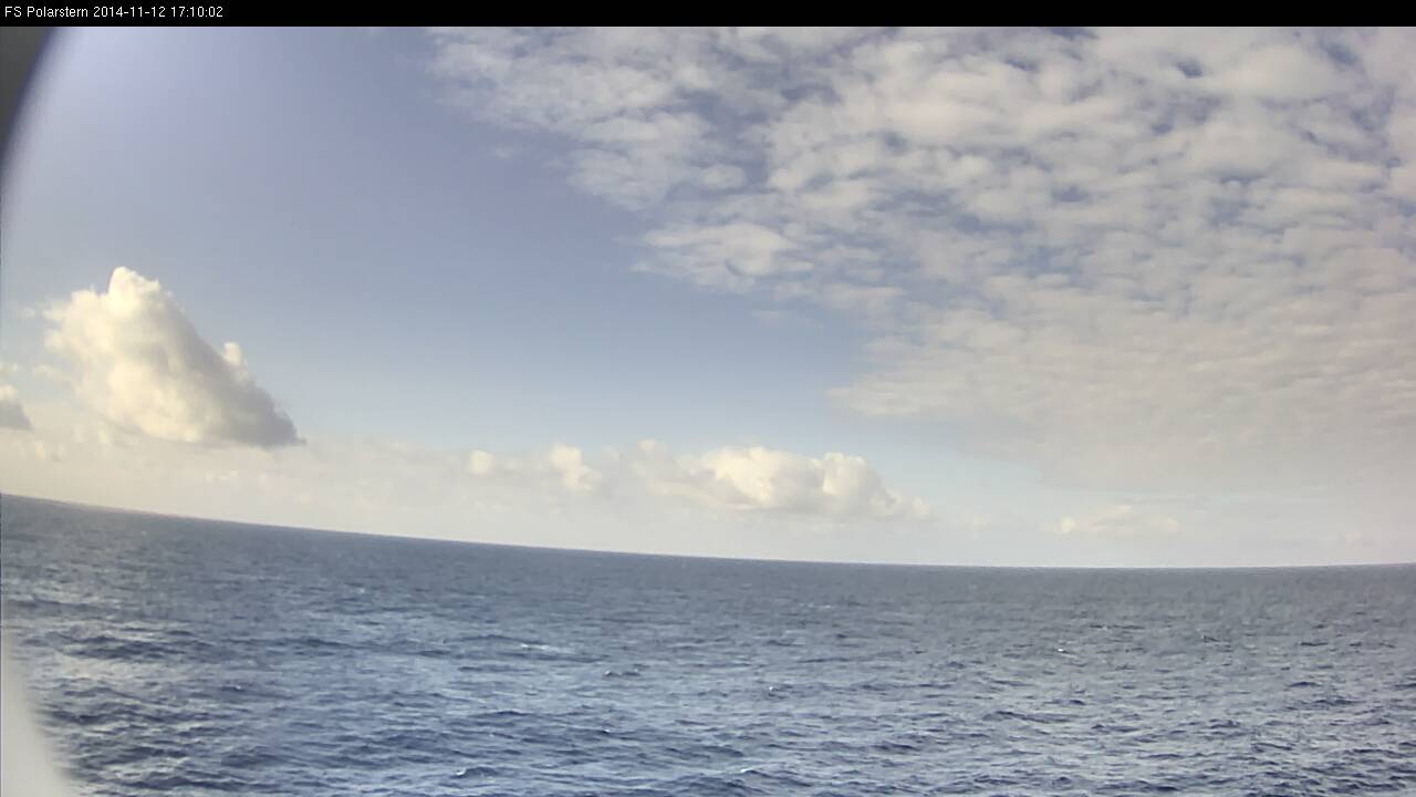
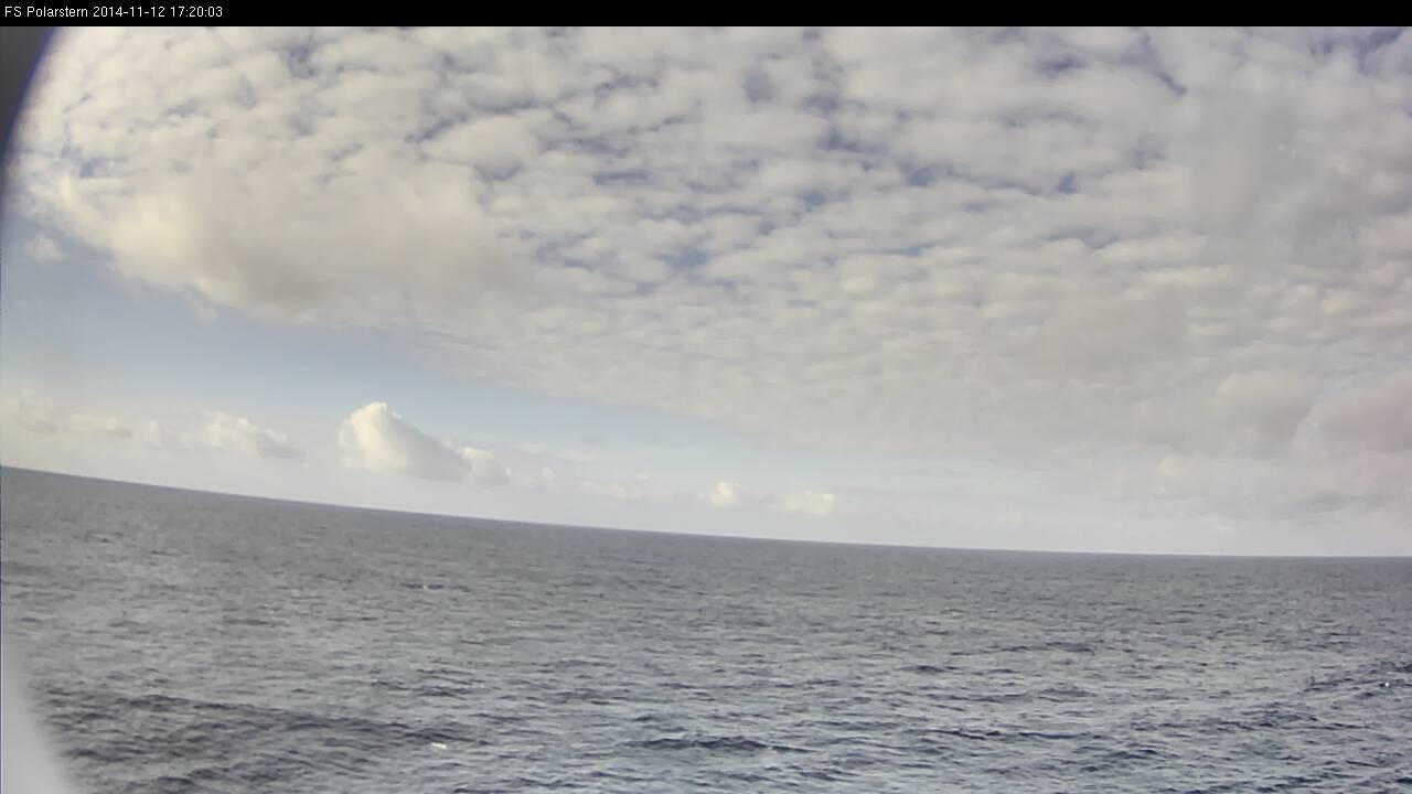
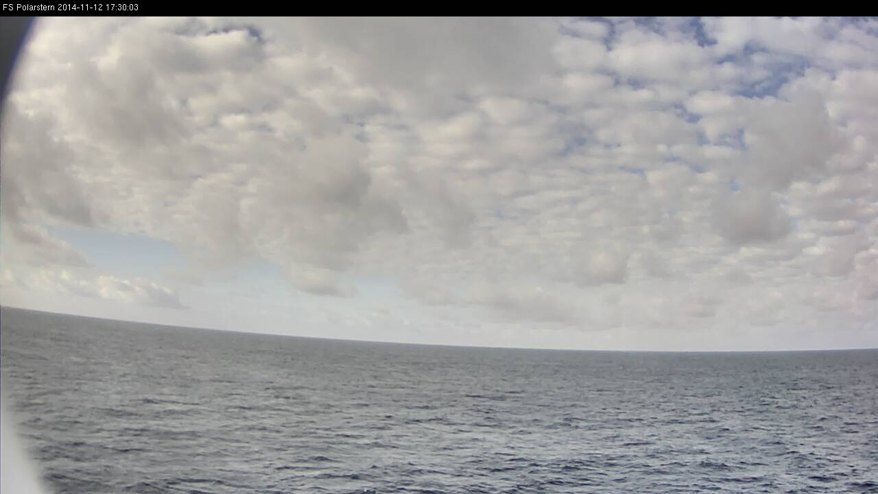
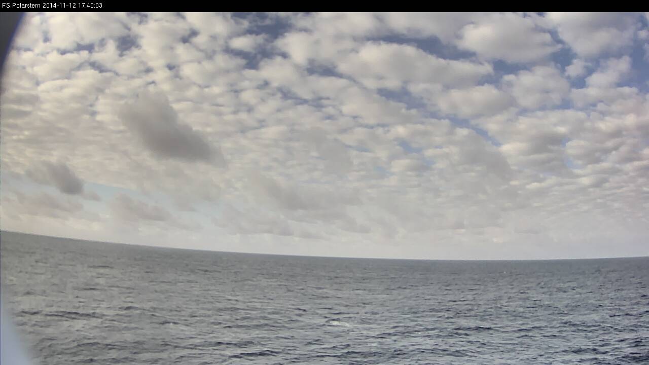
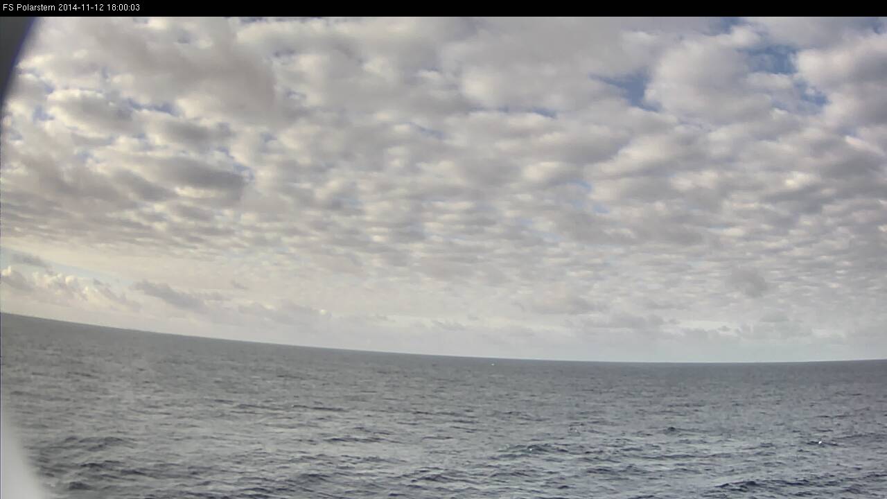
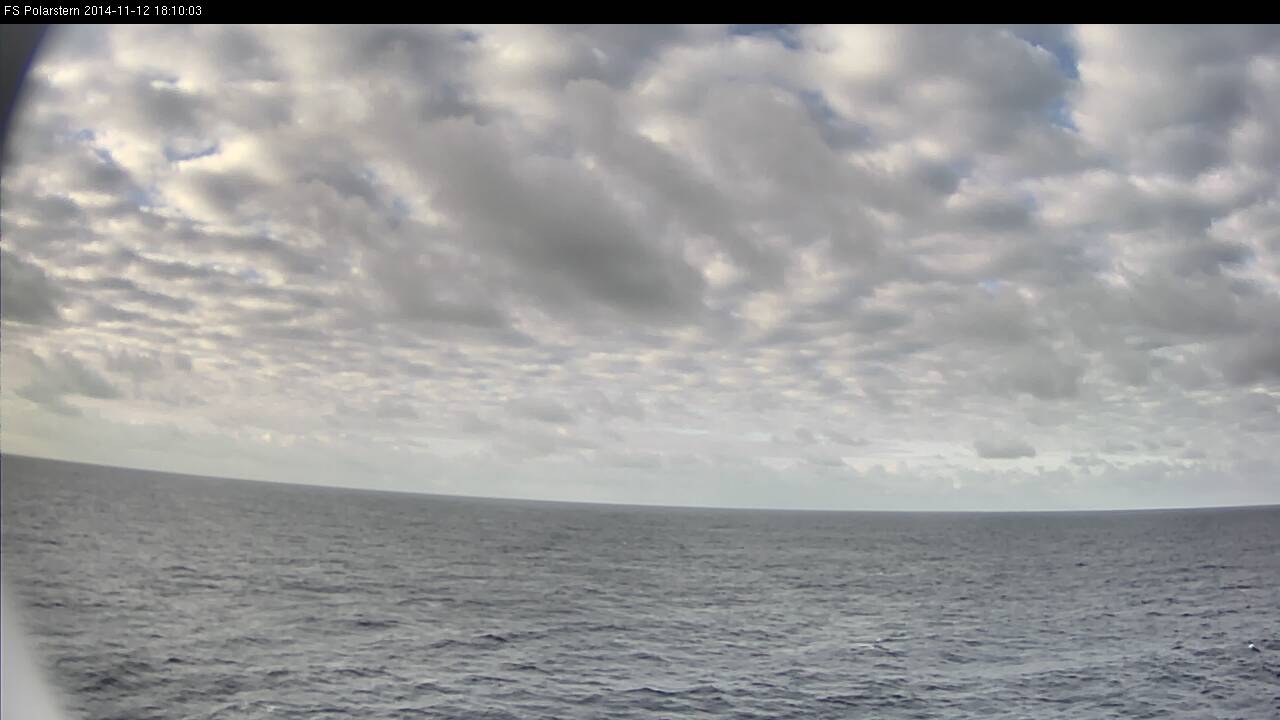
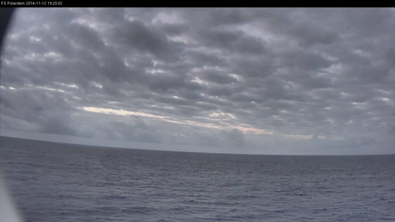
This loop shows all daytime webcam images on 12 Nov 2014 between 06:50 and 19:20 UTC.
Loop 7: Note - click on the loop to go through individual images