Weather situation on 9 Nov 2014
The Polarstern is sailing in the ITCZ. The forecaster on that day wrote: "Wind NE to E, 3-4 Bft. Good visibility. Shower or thunderstorms are possible. No significant wind sea, swell NE to E, around 1,5 m and 9 s."
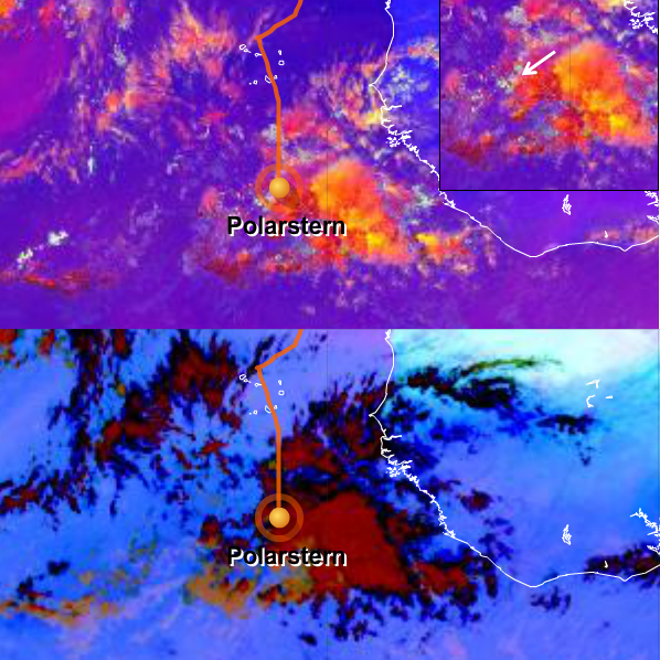
Figure L2-10: 9 Nov 2014, 12:00 UTC. Above: Severe Storms RGB,
Below: Dust RGB. Source: EUMeTrain.
The satellite images show the Polarstern sailing through shower activity in the ITCZ. The strongest convection that day was more to the east, where the yellow color is very bright in the Severe Storms RGB (see the white arrow for the exact position of the Polarstern). The yellow color suggests small ice particles at the top of the cumulonimbus and a strong updraft. For more details see the Colour Interpretation Guide:
http://www.eumetrain.org/resources/MSG_severestorm_yellow_cloud.html
The black cloud areas in the Dust RGB hint at high and thick cirrus clouds since there is a lack of signal in all three color components. You will find a short description and clear images of these clouds in the Dust RGB in the Colour Interpretation Guide:
http://www.eumetrain.org/resources/MSG_dust_black_cirrus.html
|
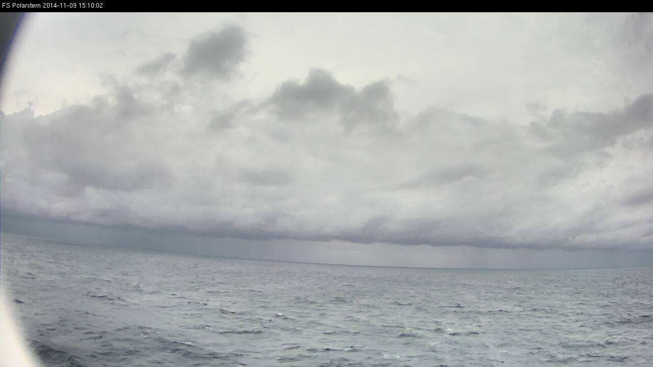
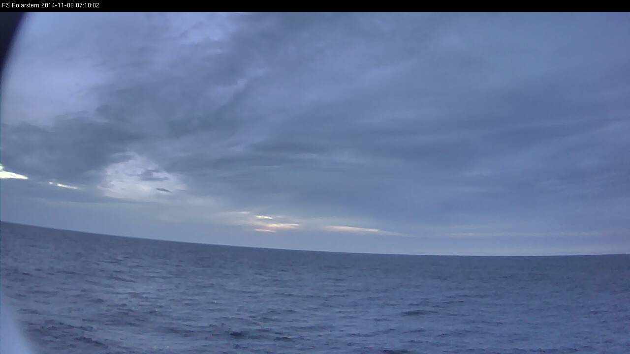
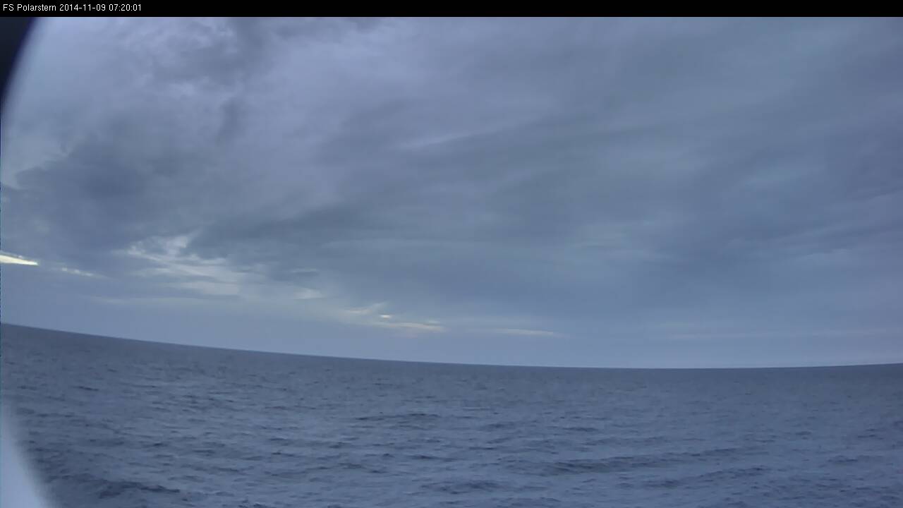
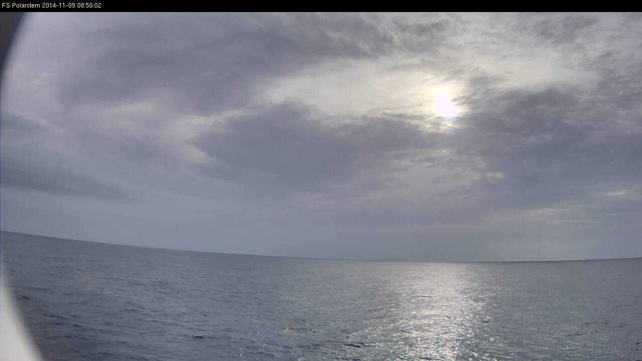
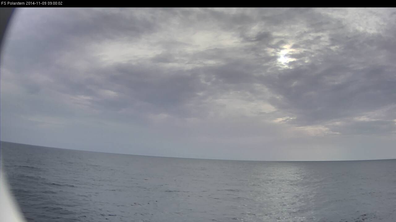
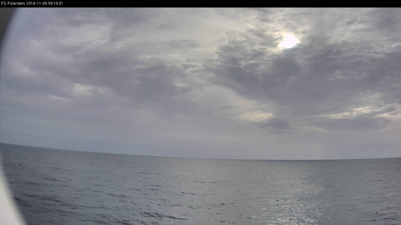
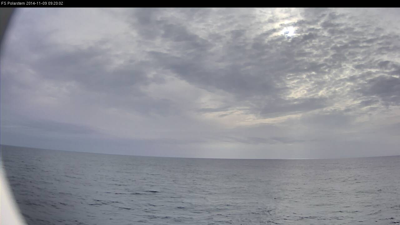
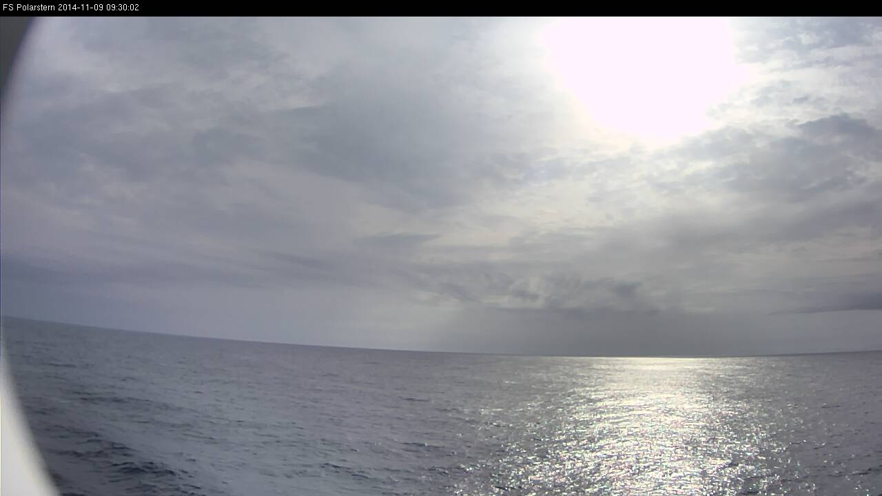
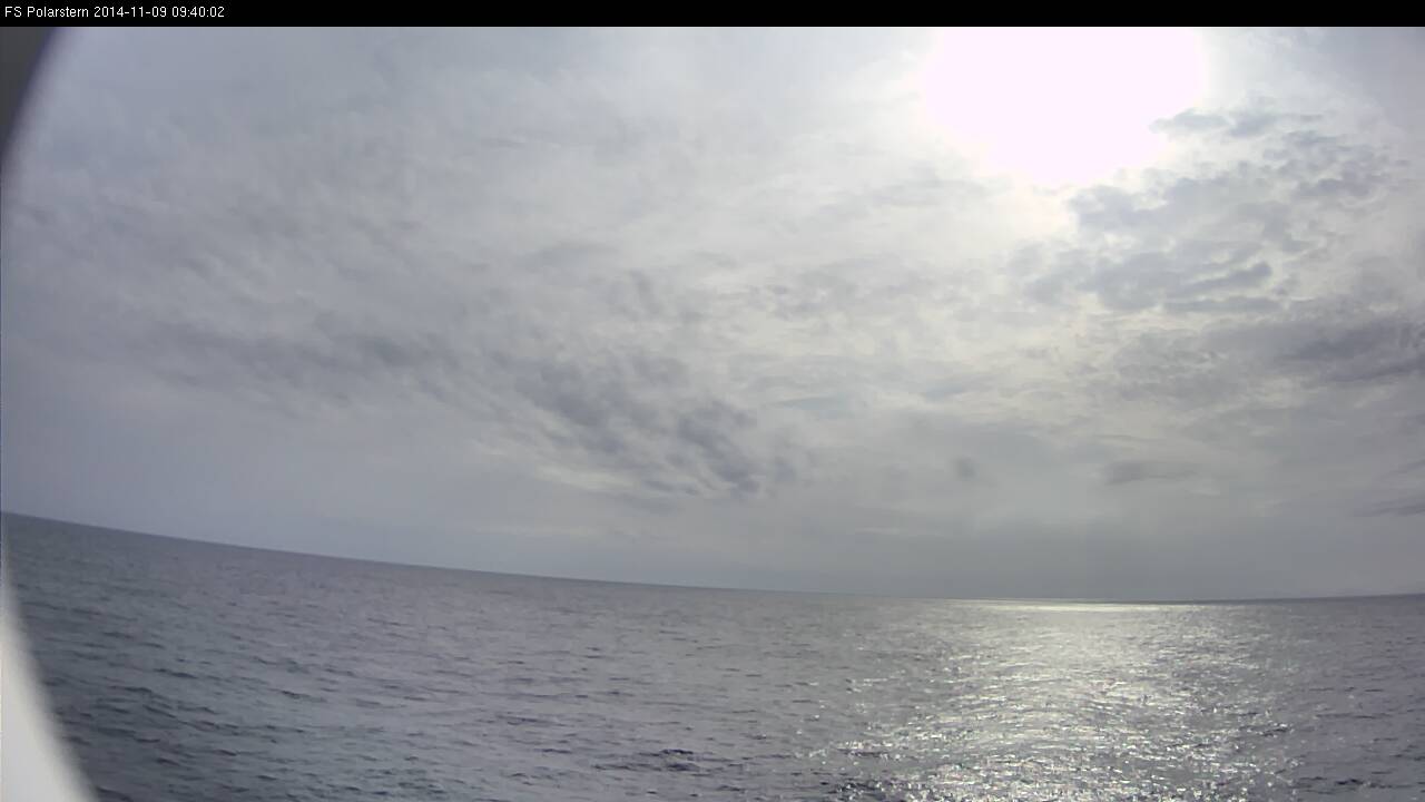
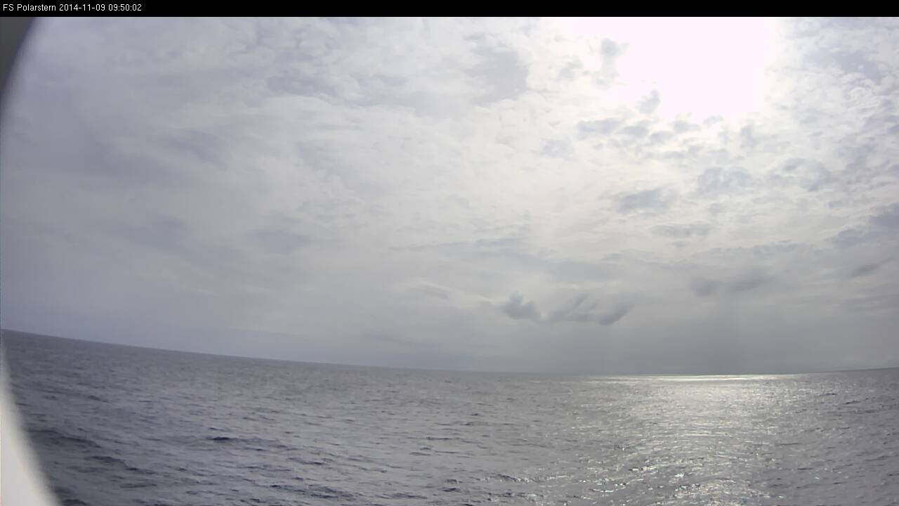
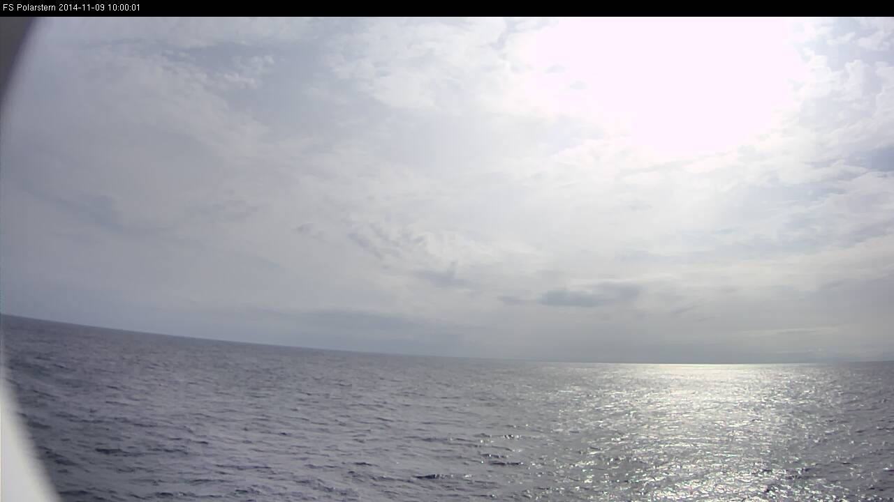
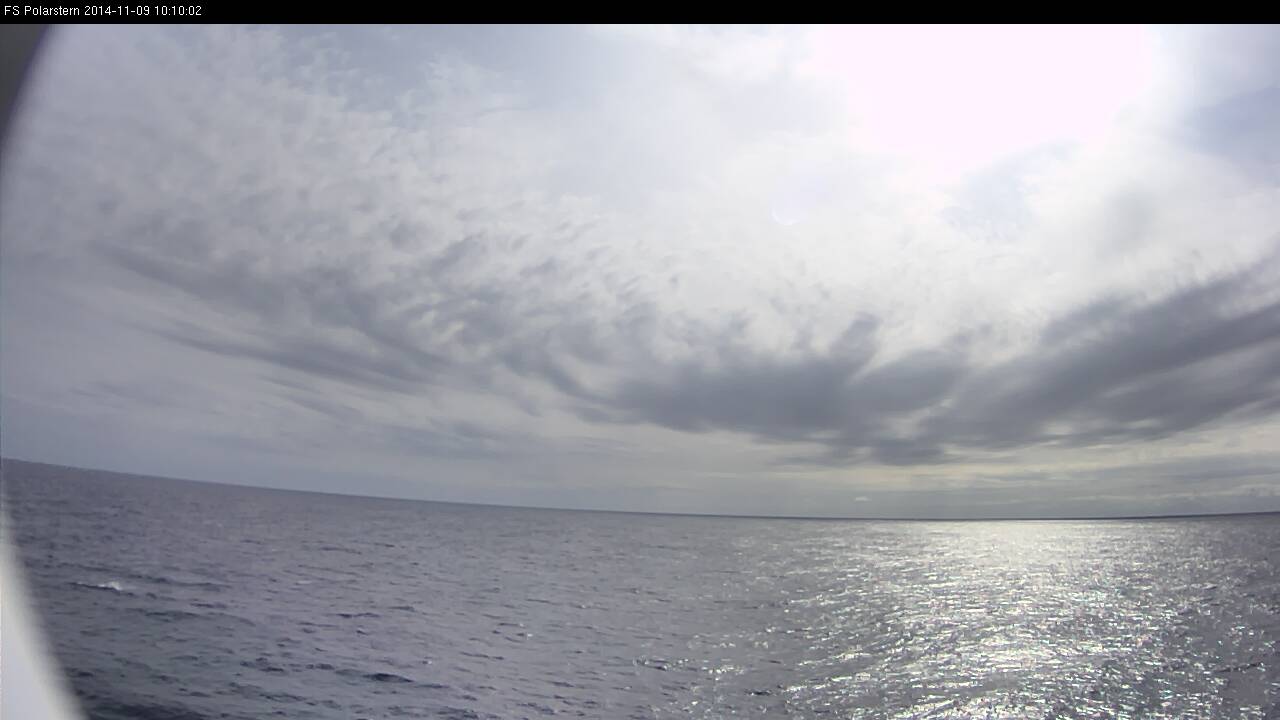
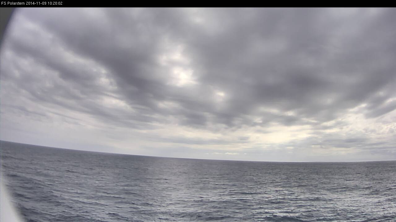
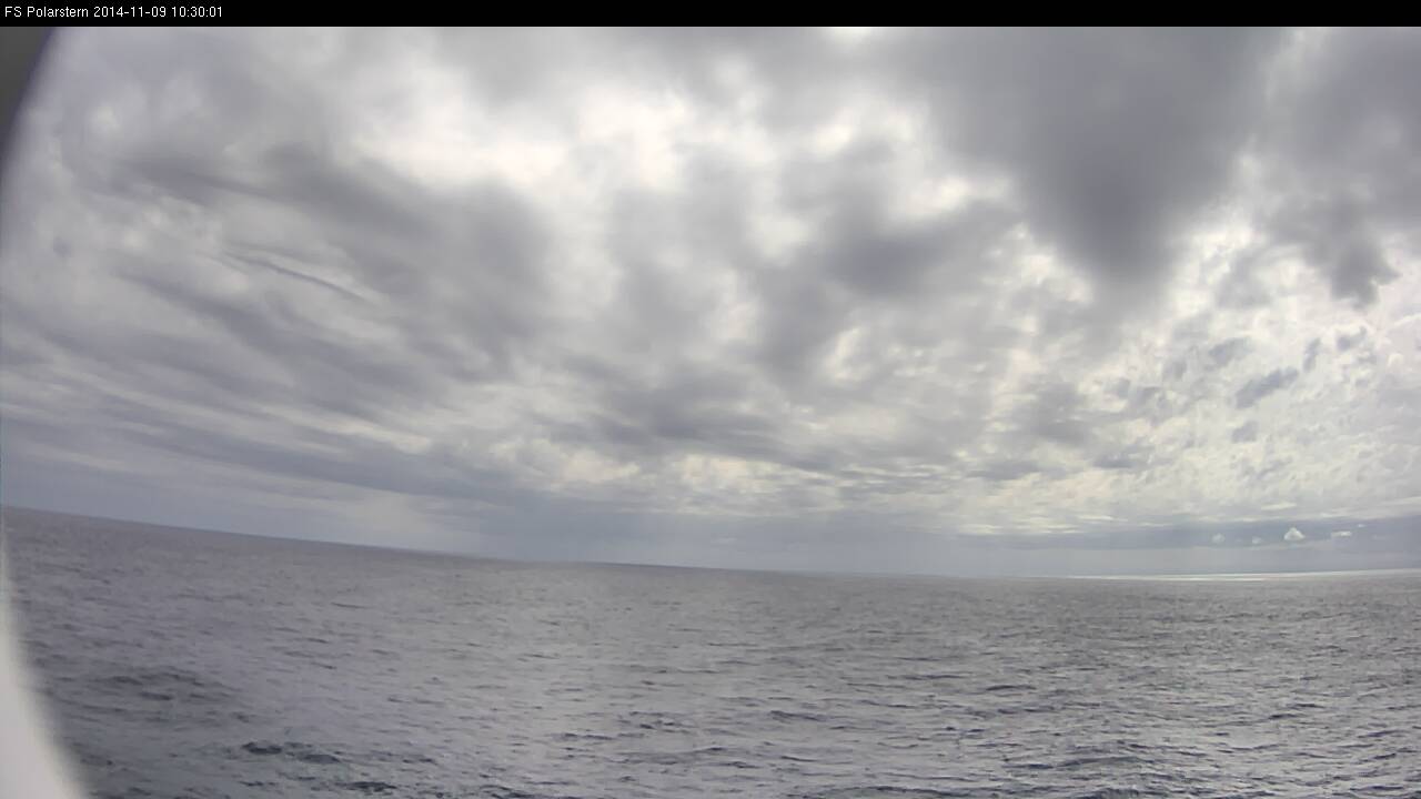
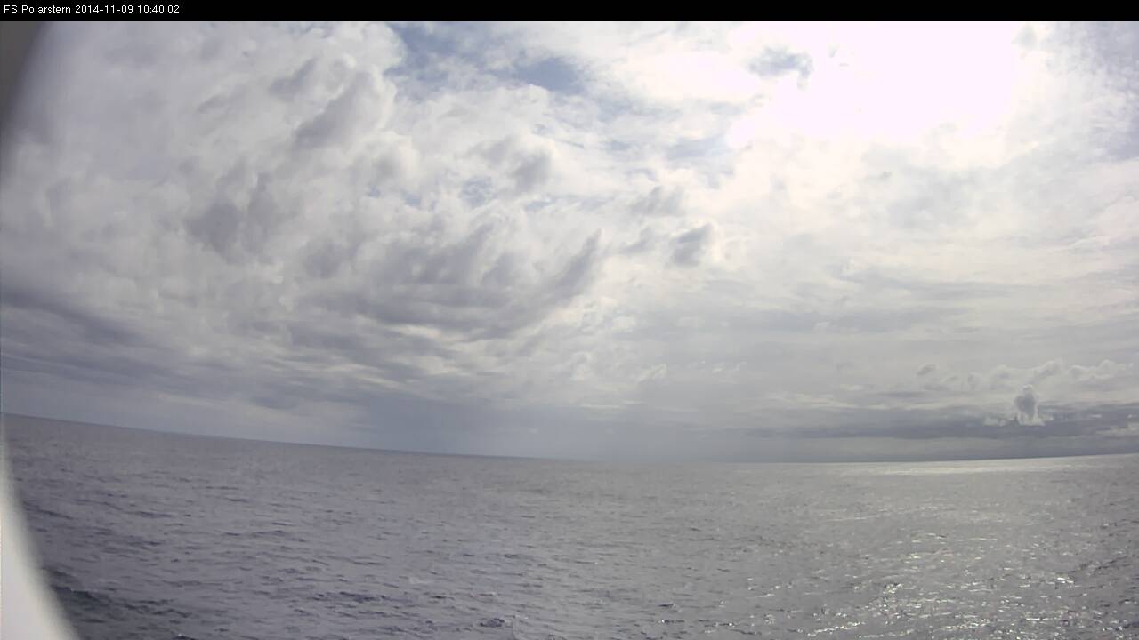
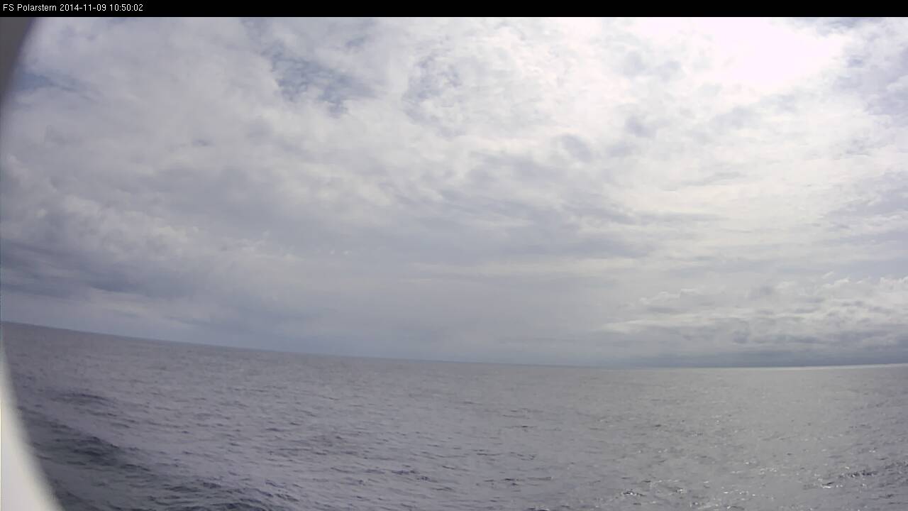
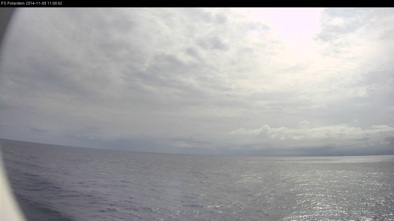
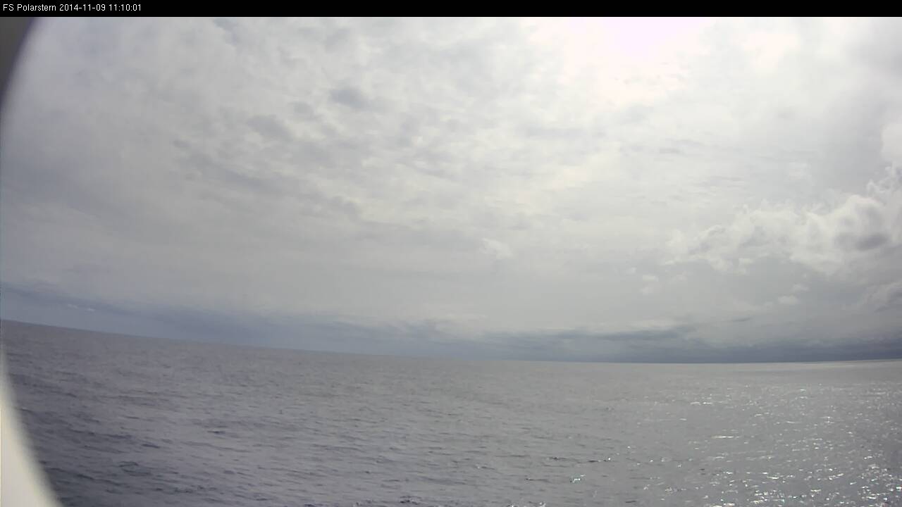
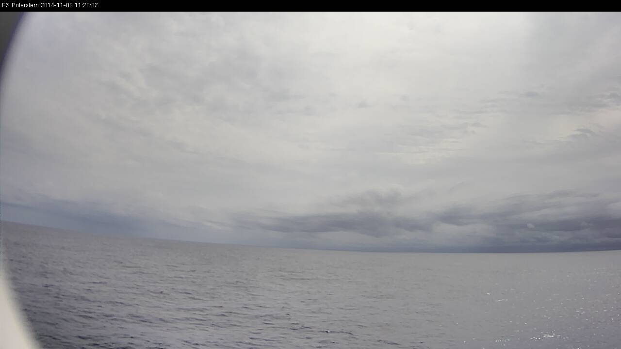
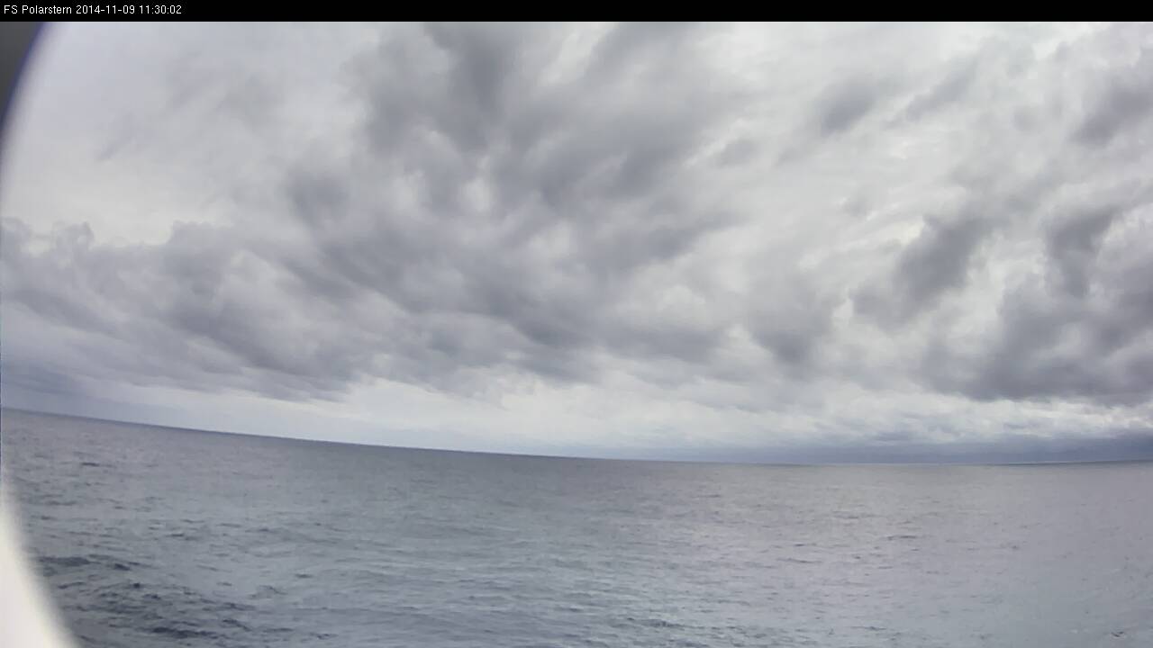
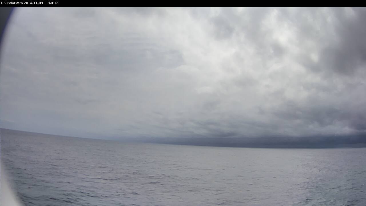
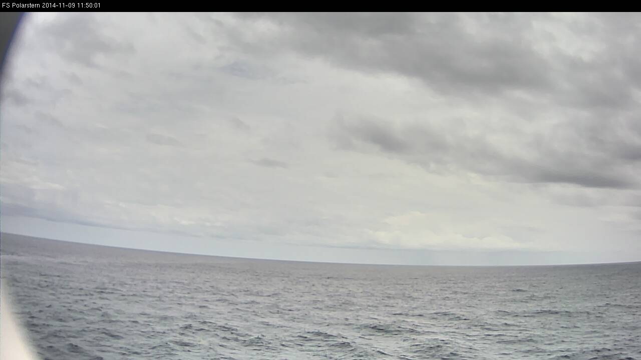
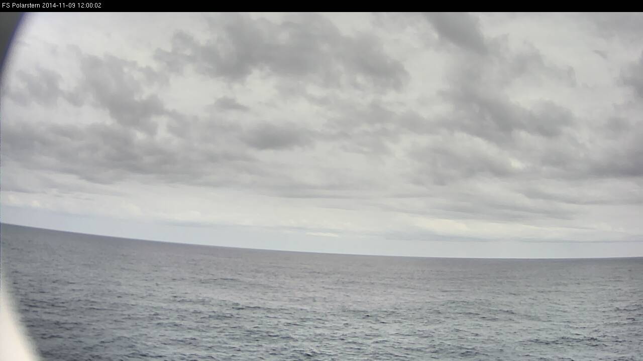
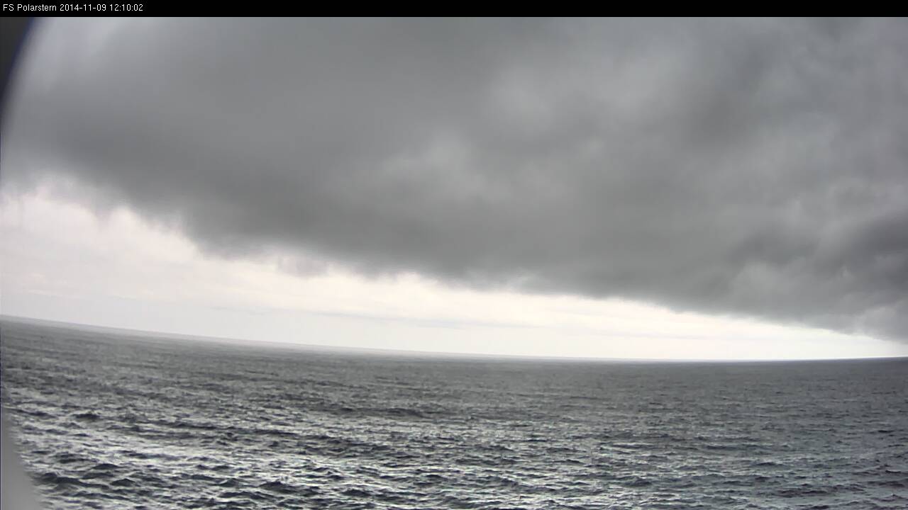
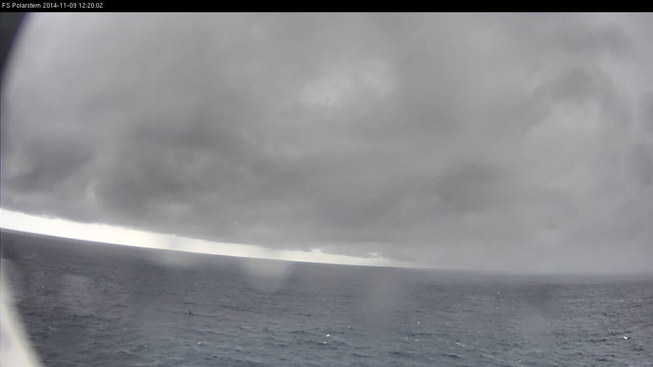
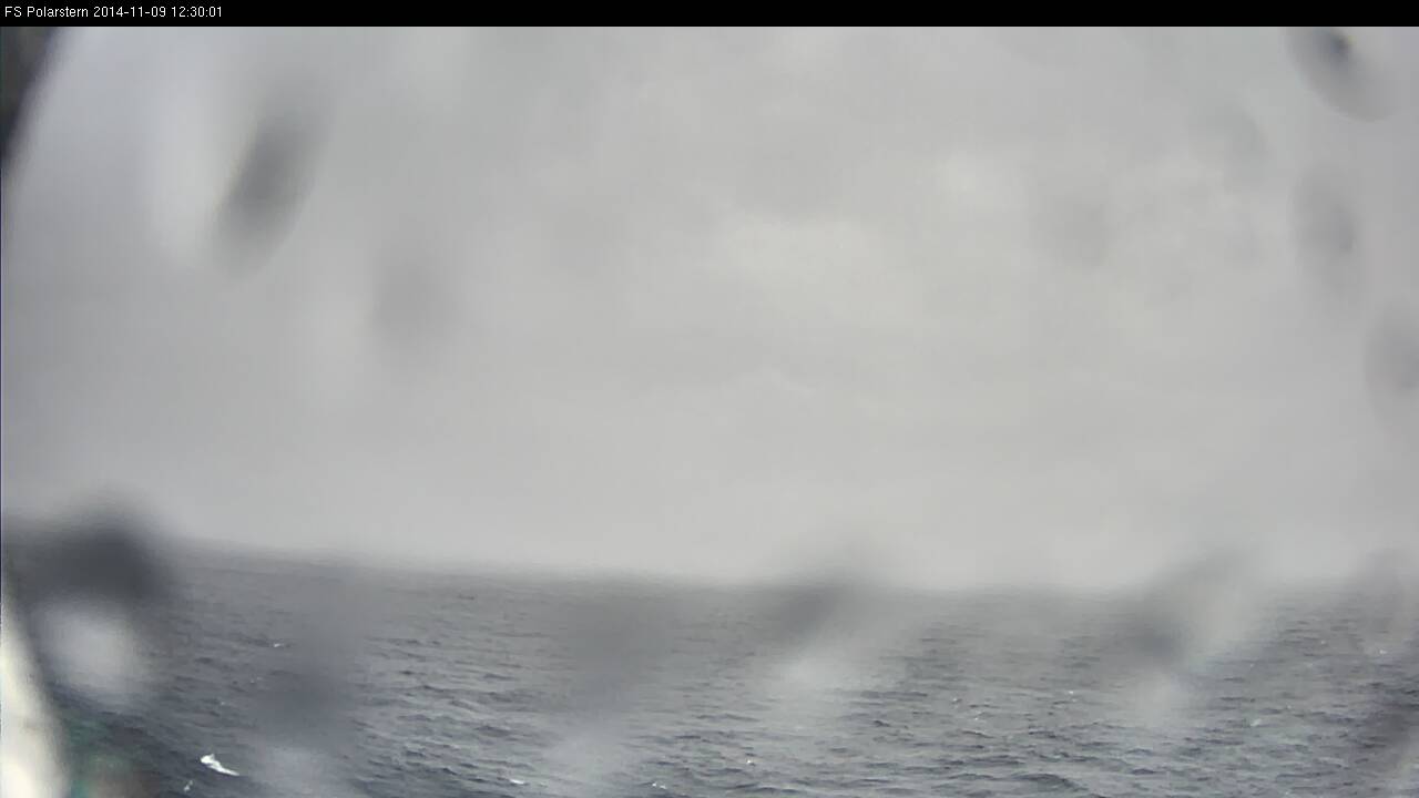
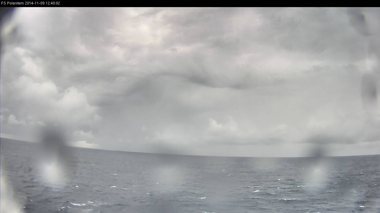
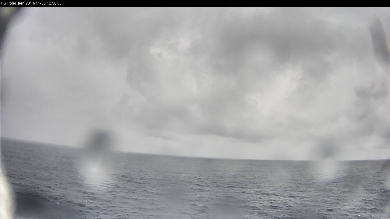
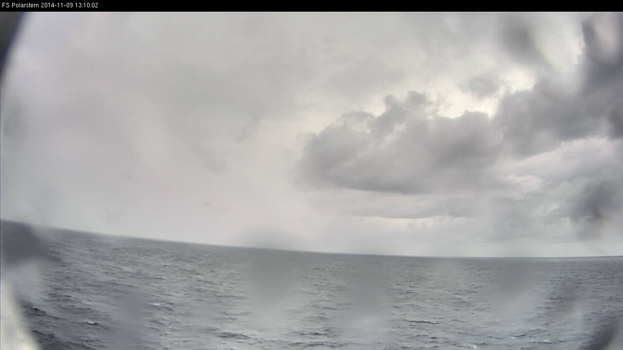
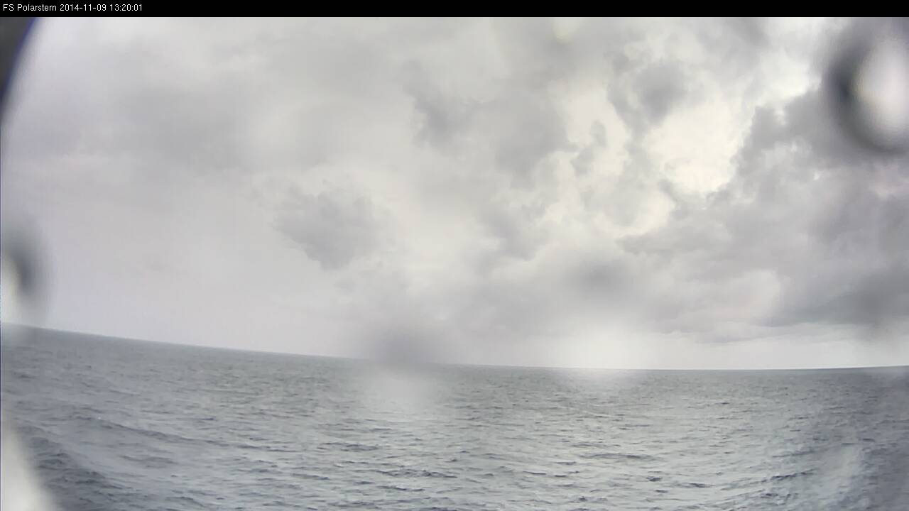
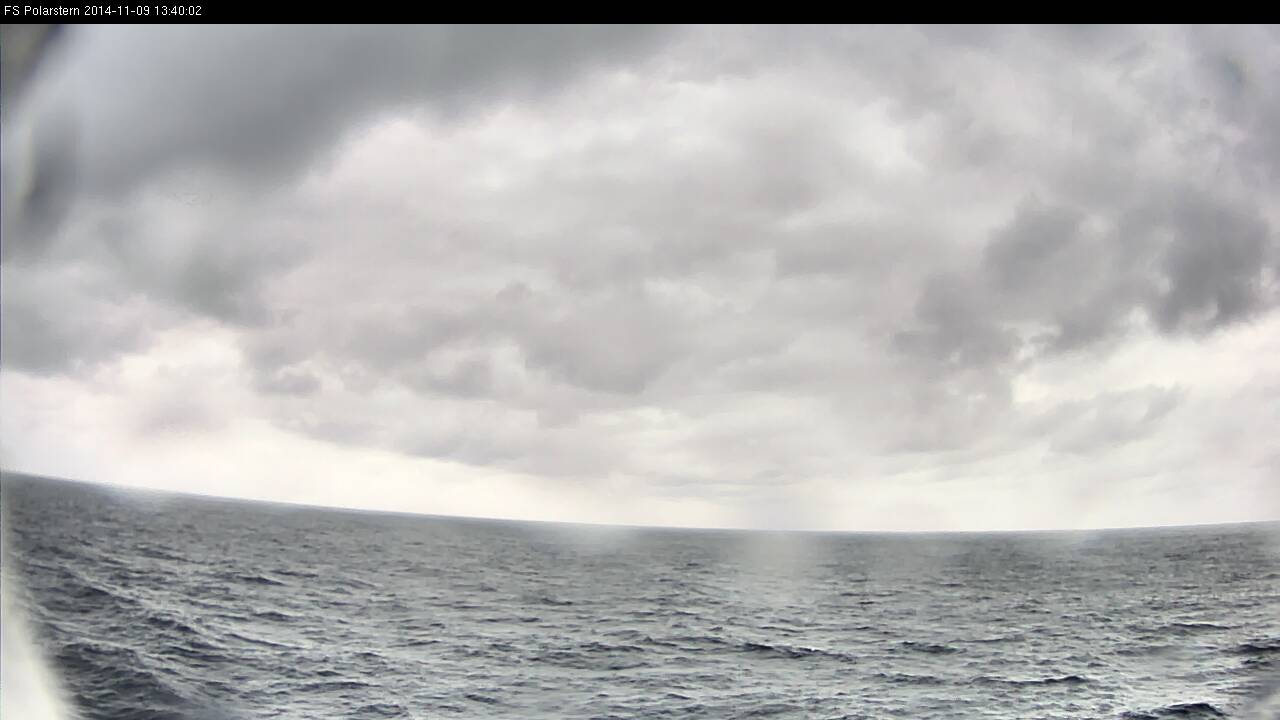
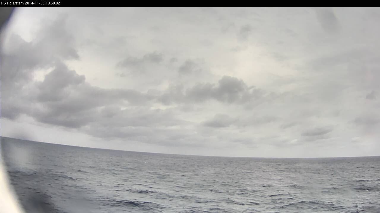
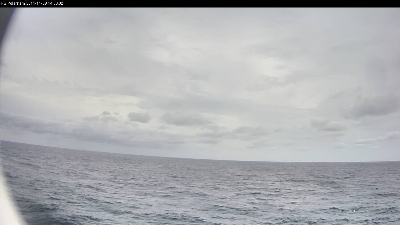
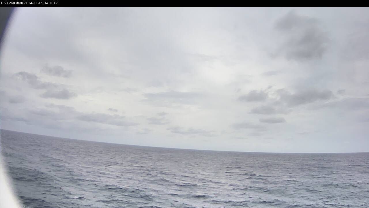
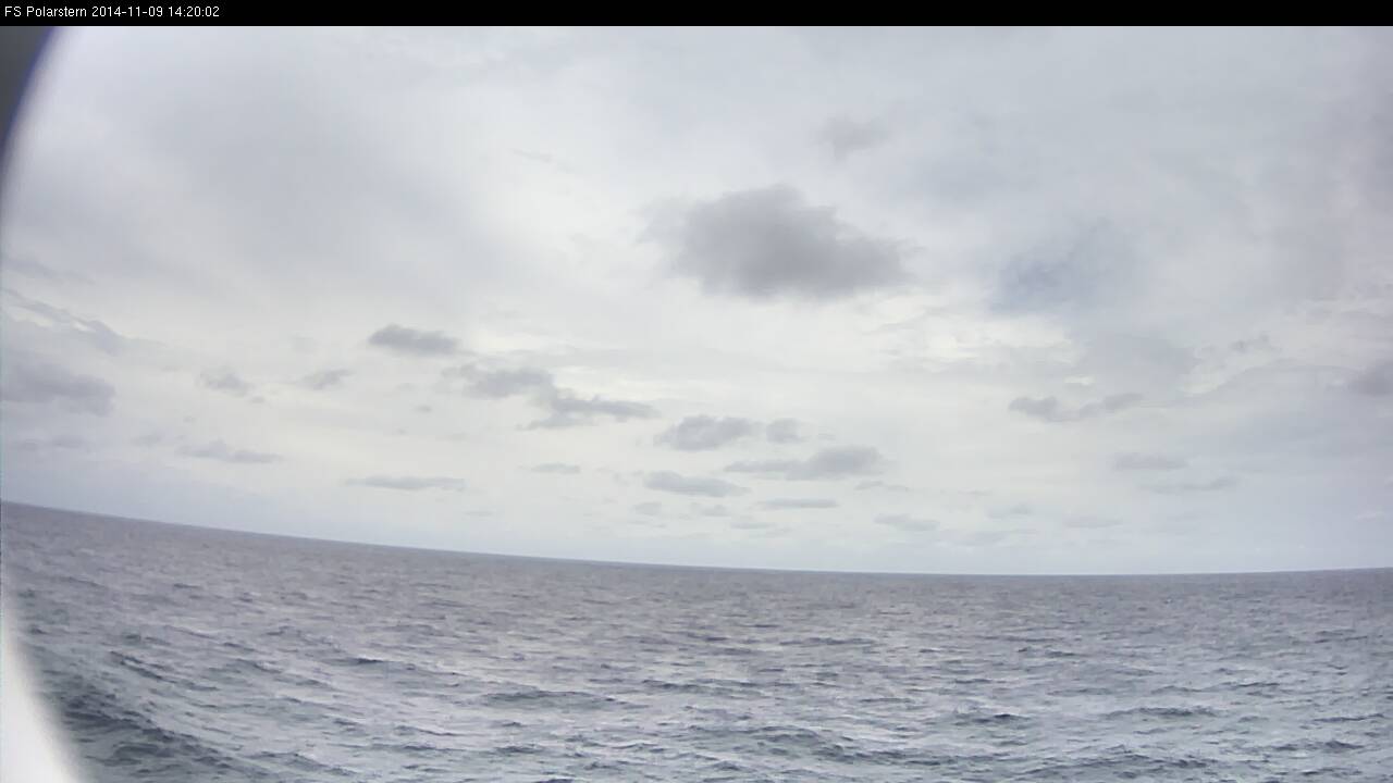
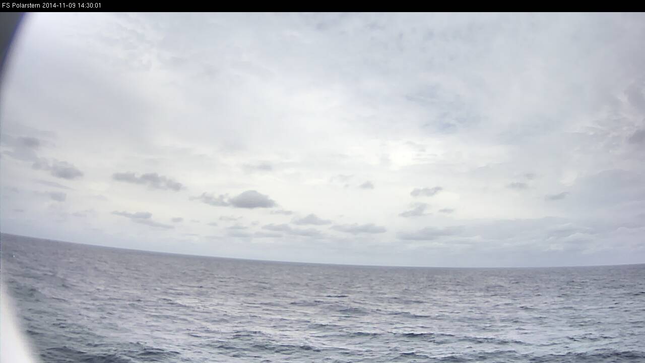
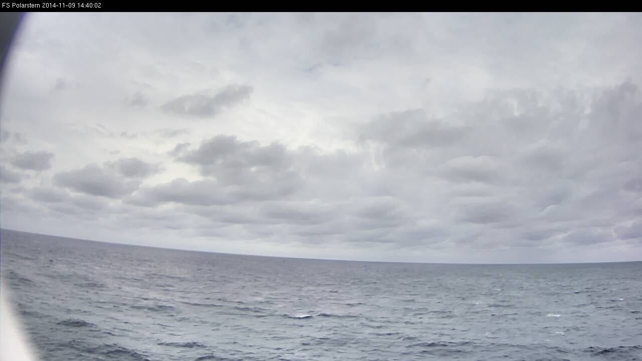
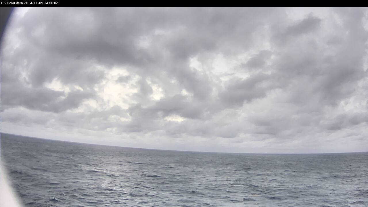
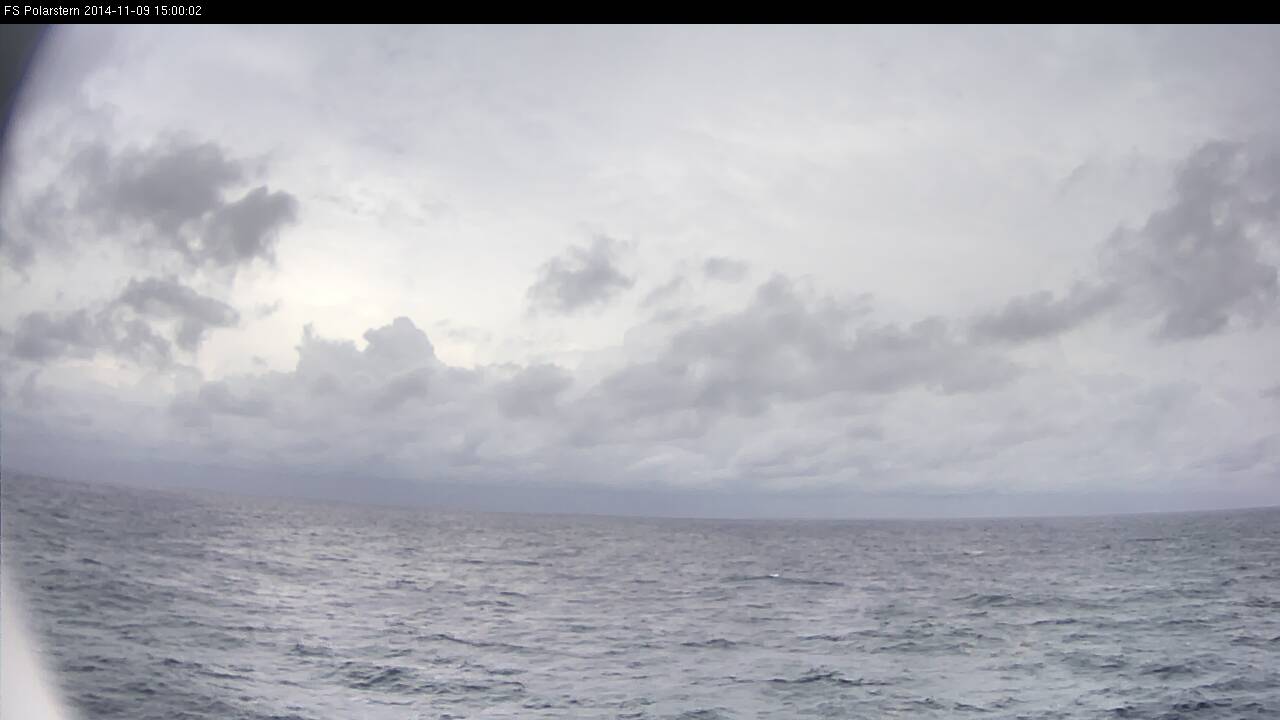
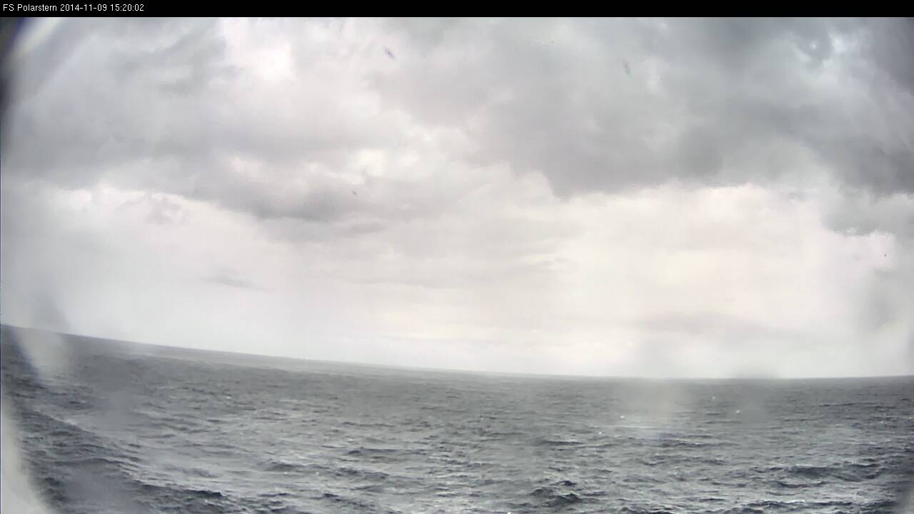
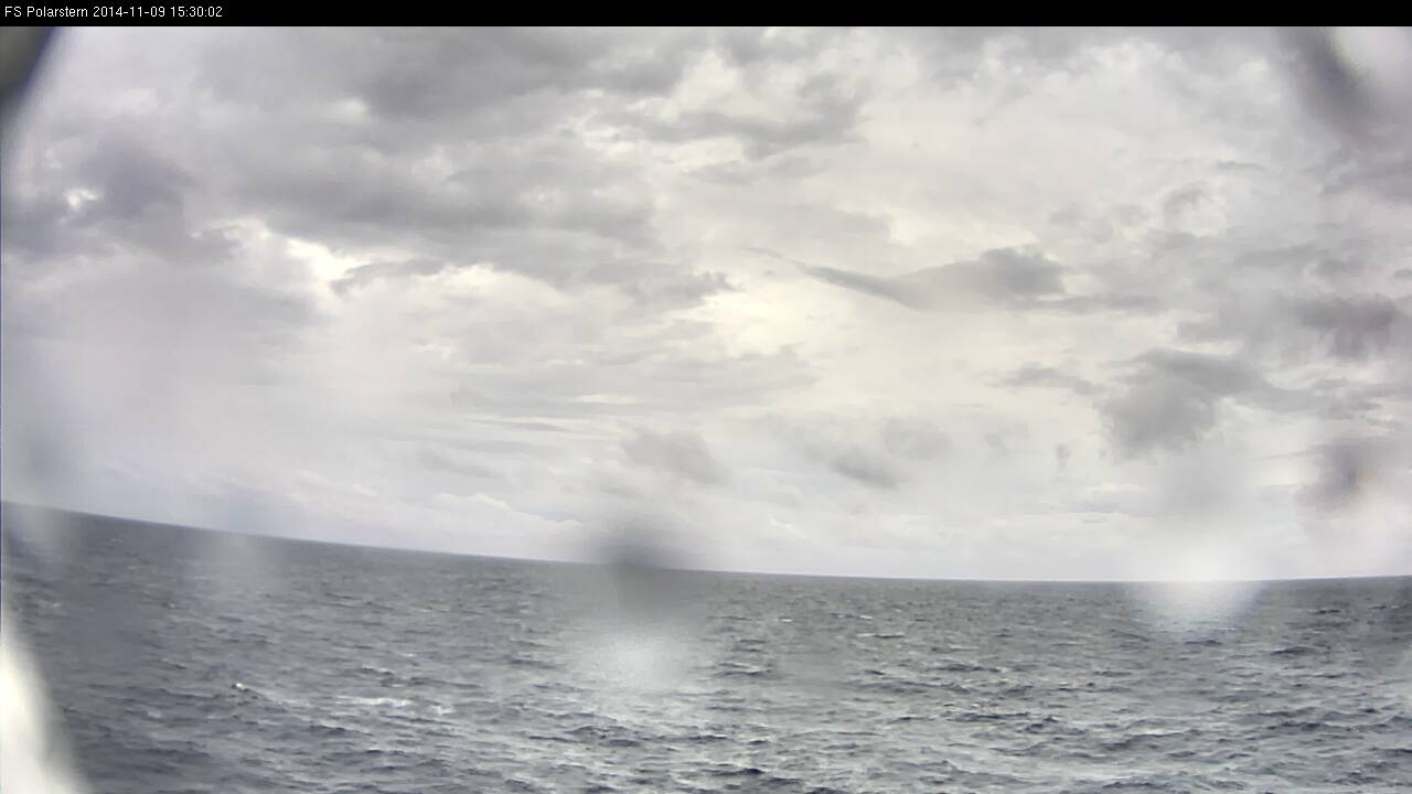
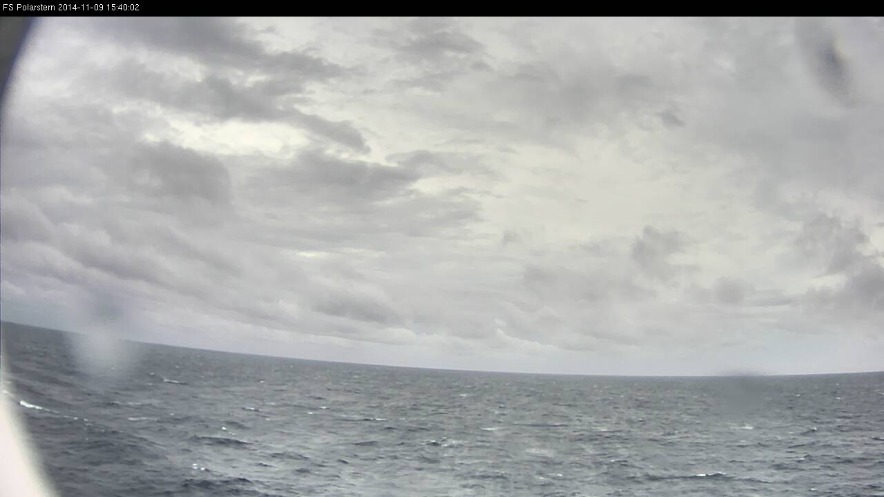
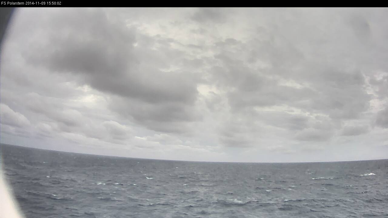
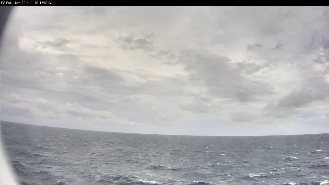
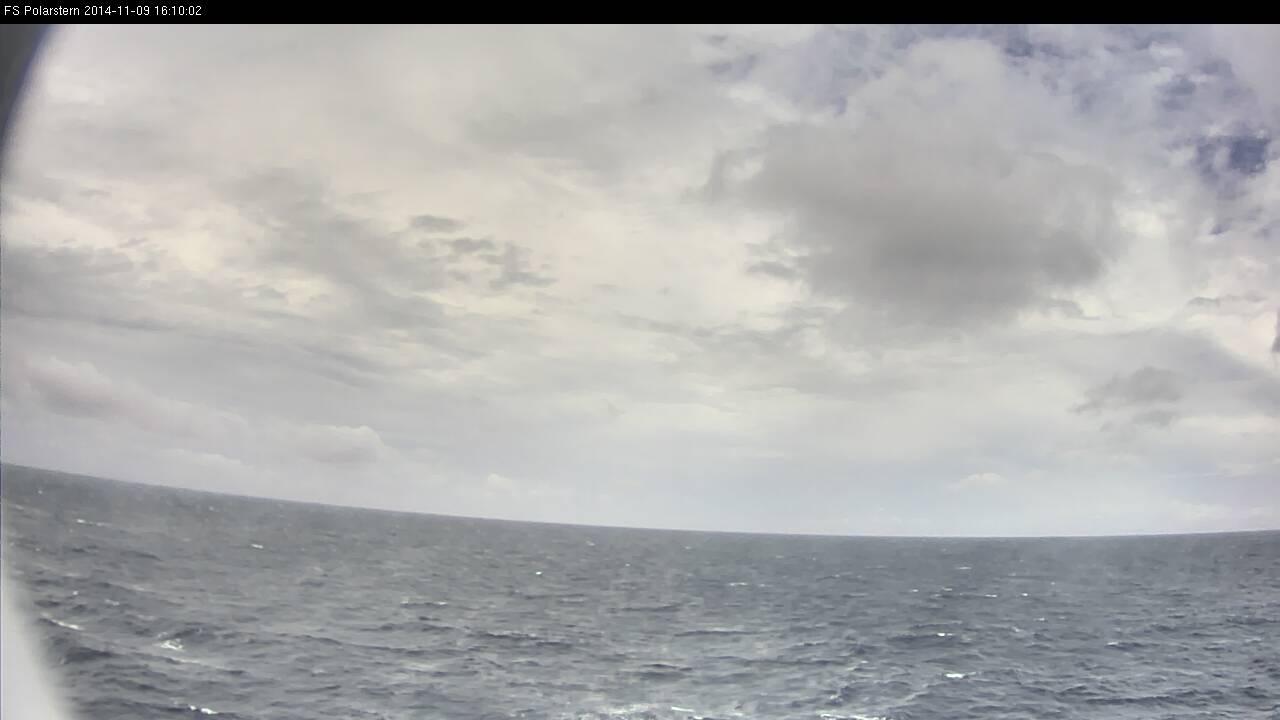
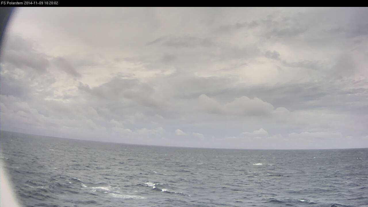
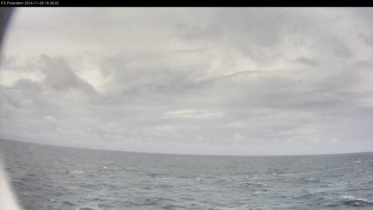
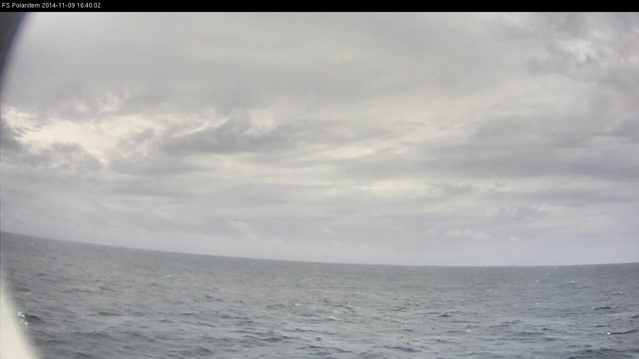
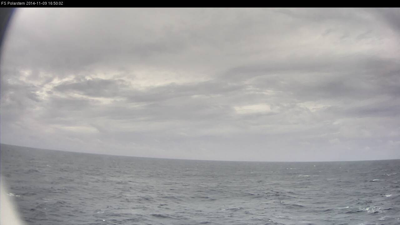
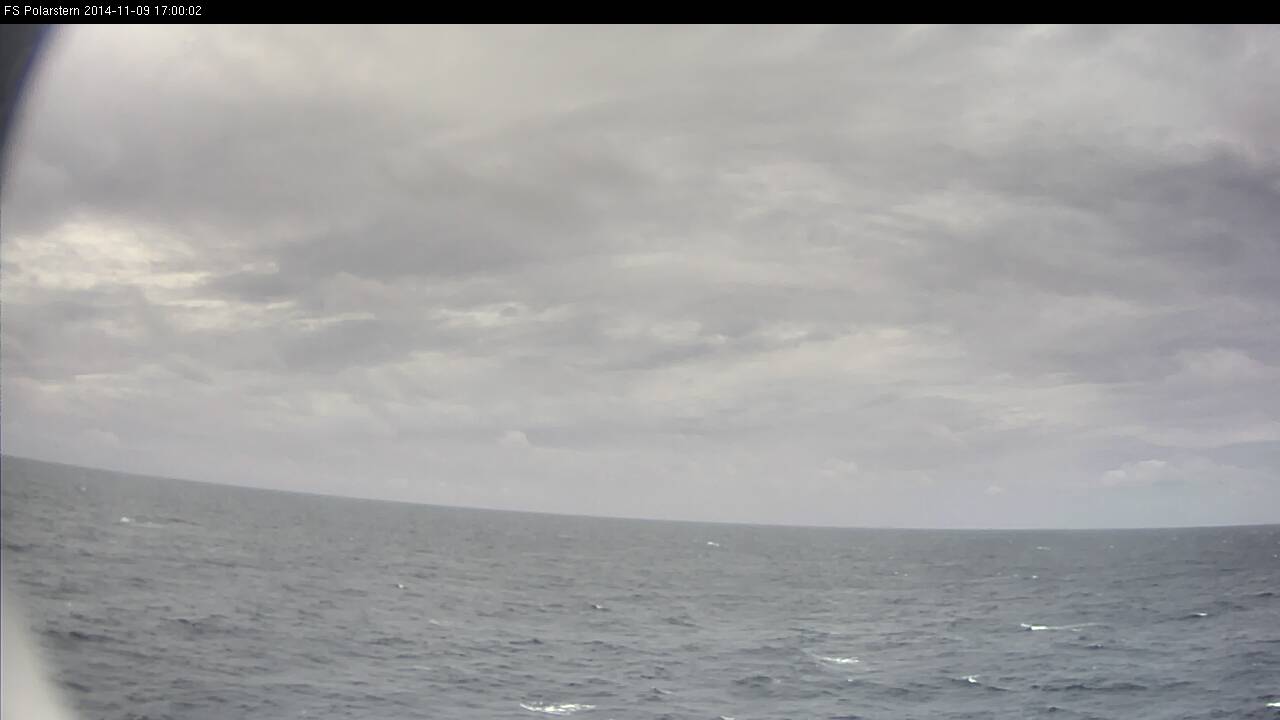
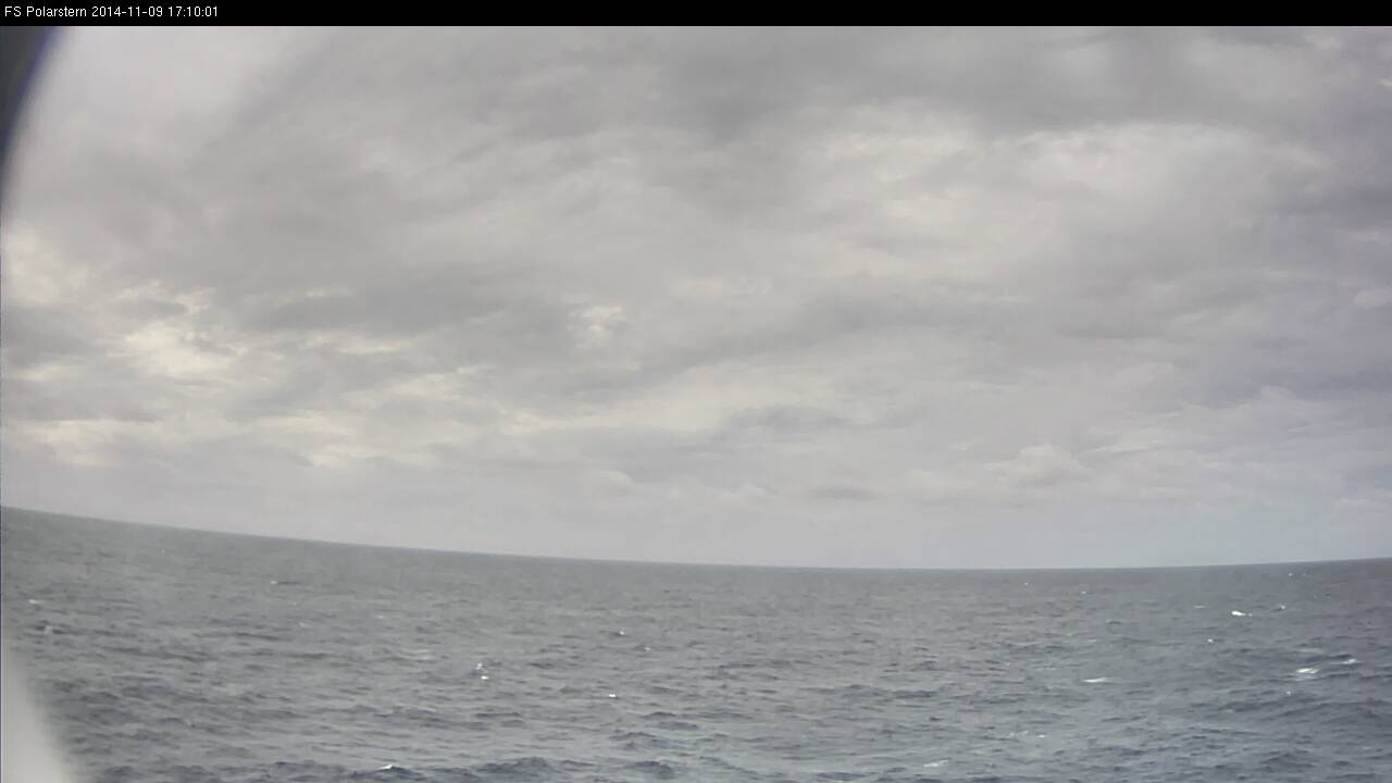
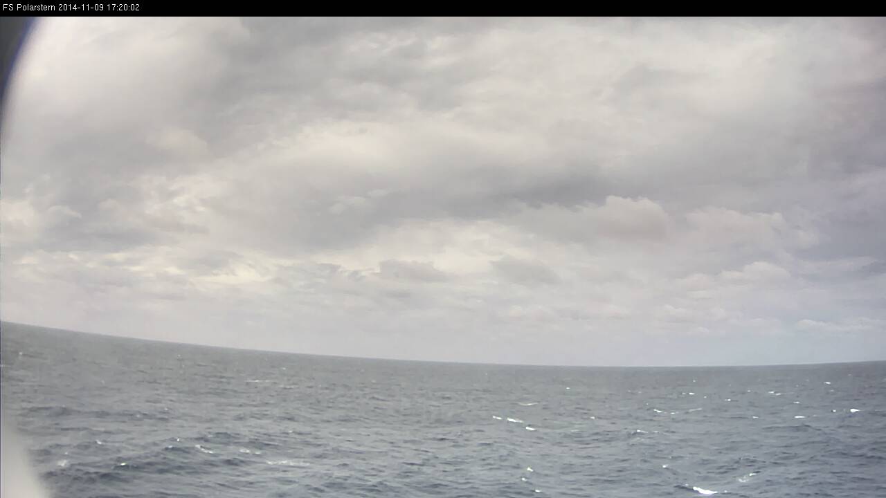
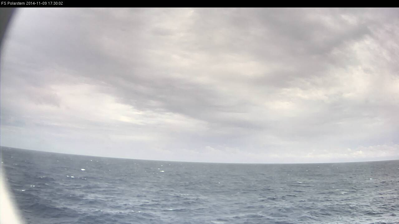
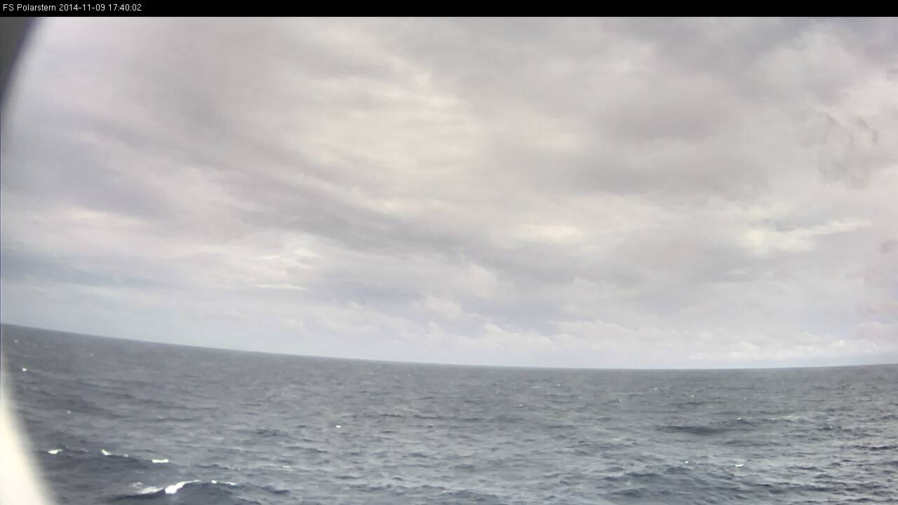
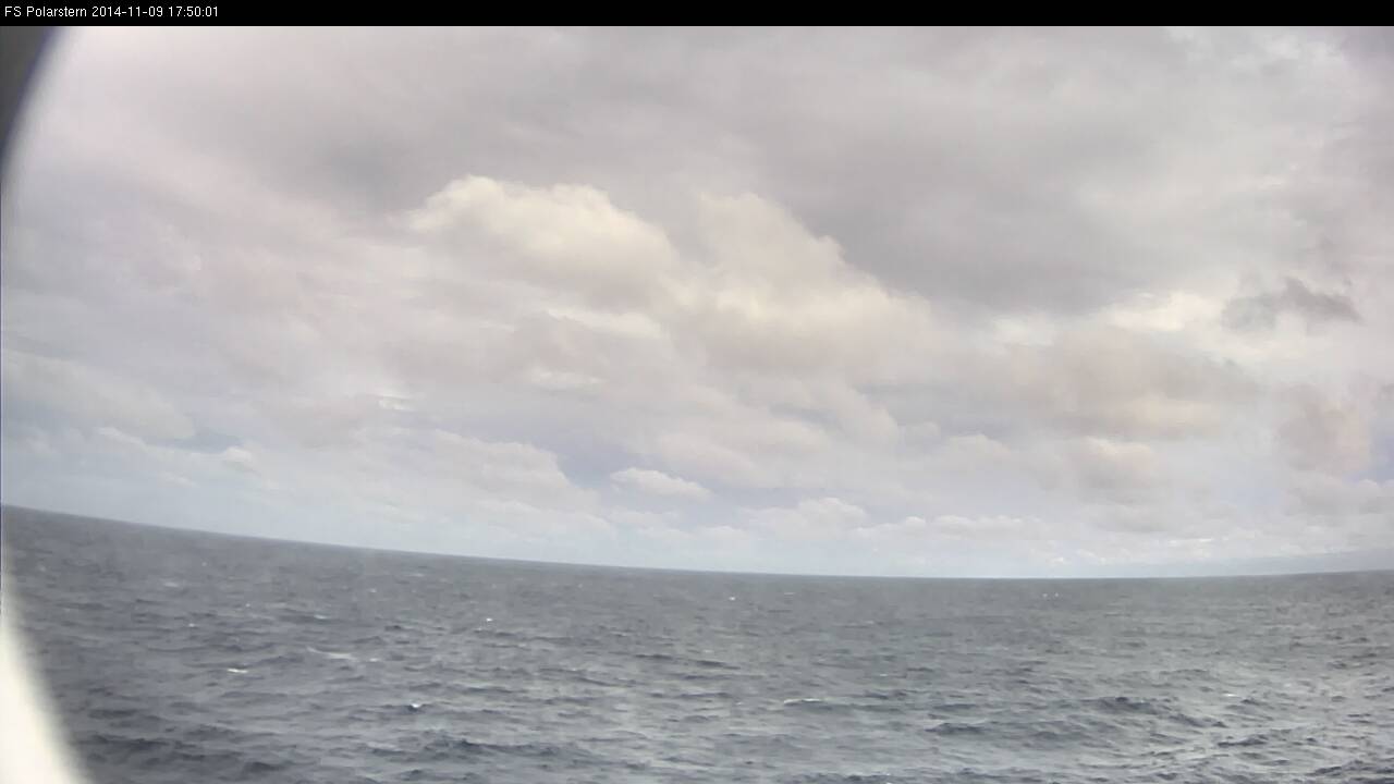
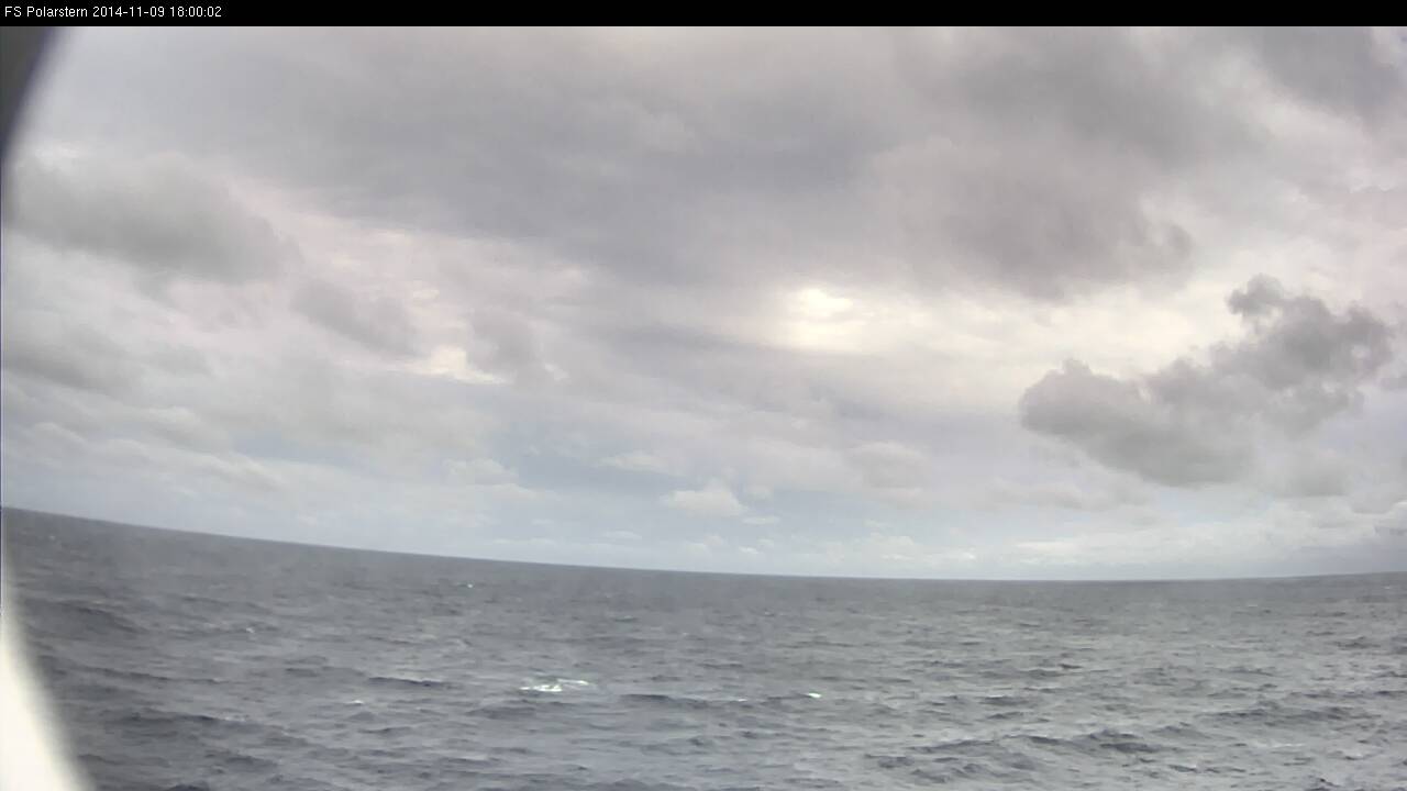
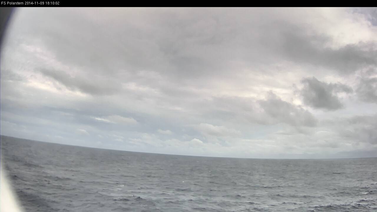
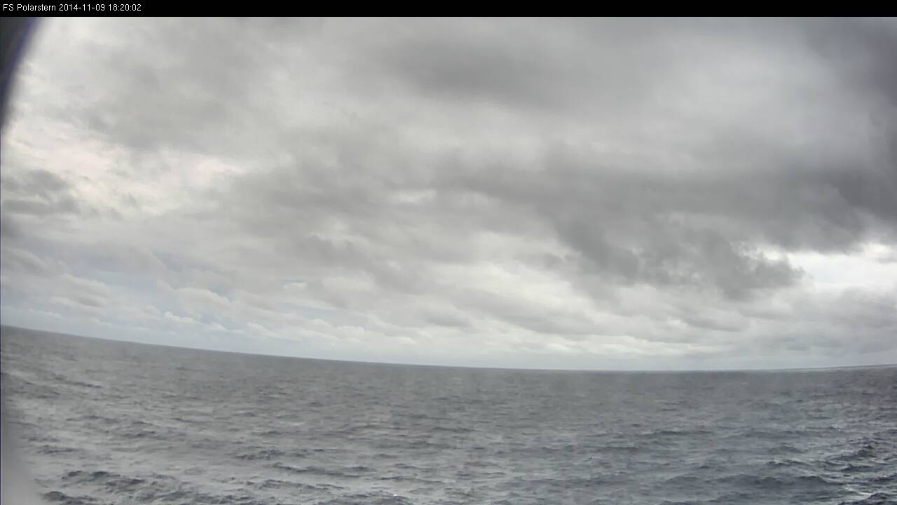
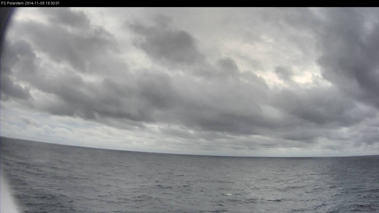
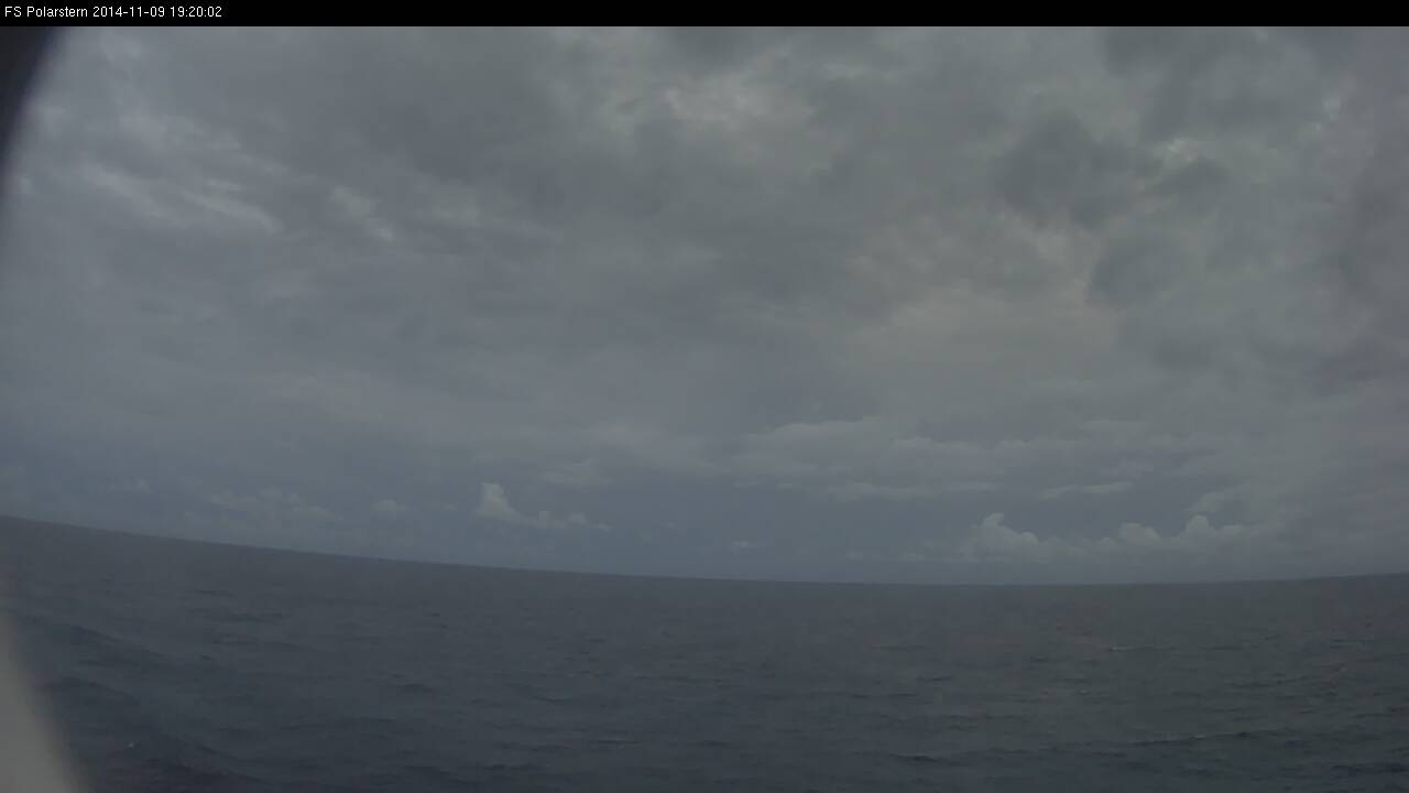
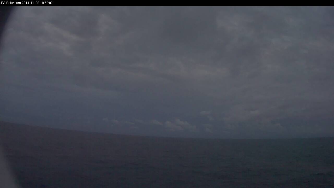
Figure L2-11 a), b) and c): 9 Nov 2014, from top to bottom: 12:10 UTC, 13:40 UTC, 15:10 UTC. Source: DWD.
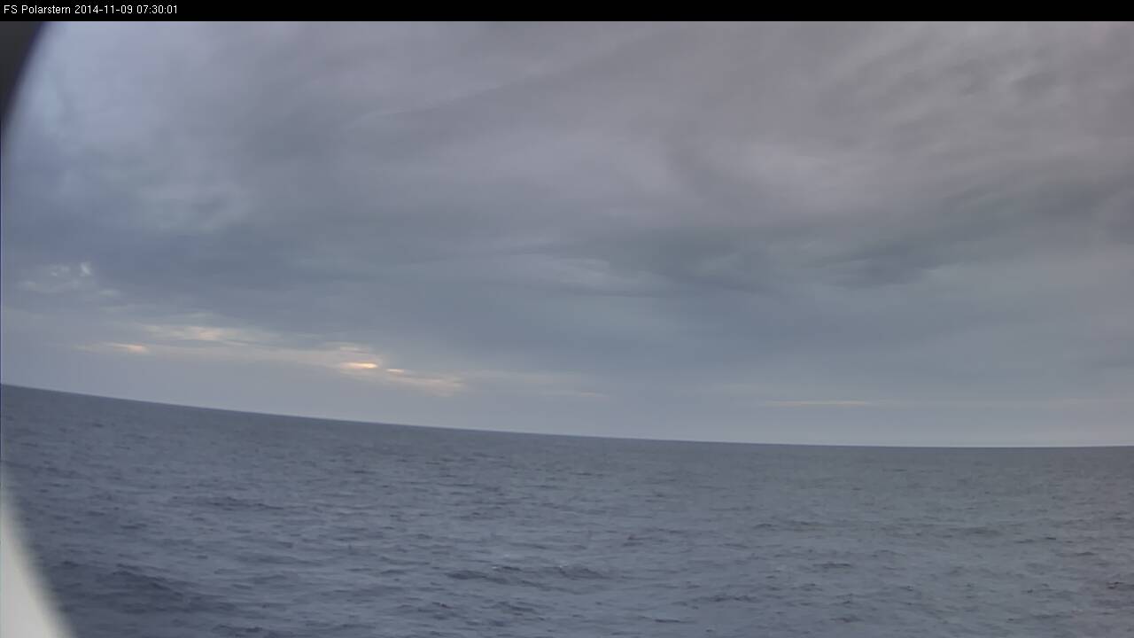
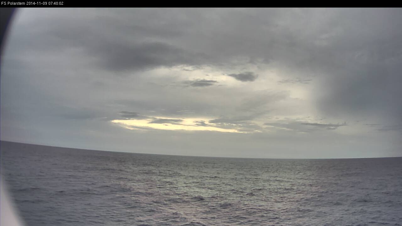
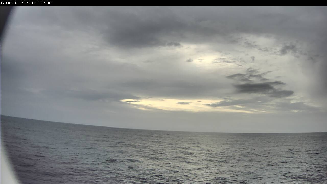
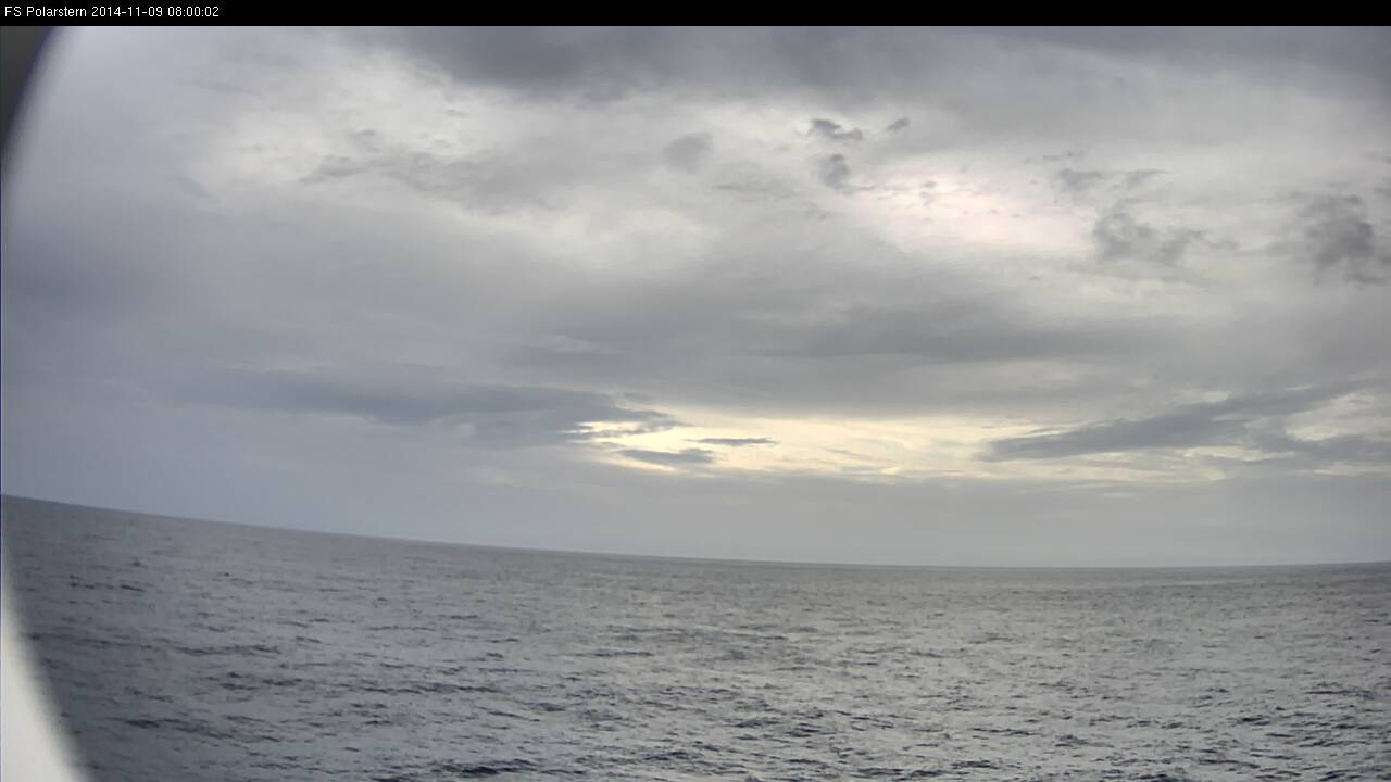
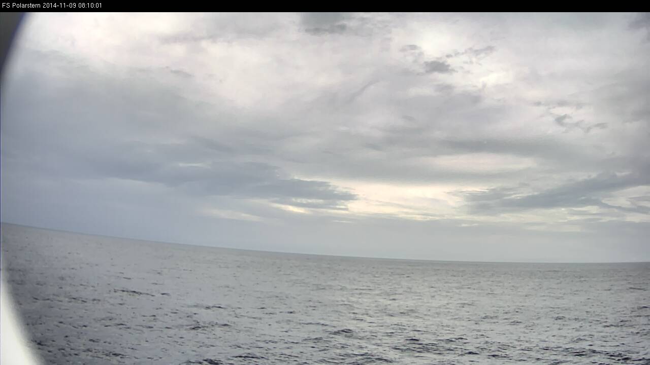
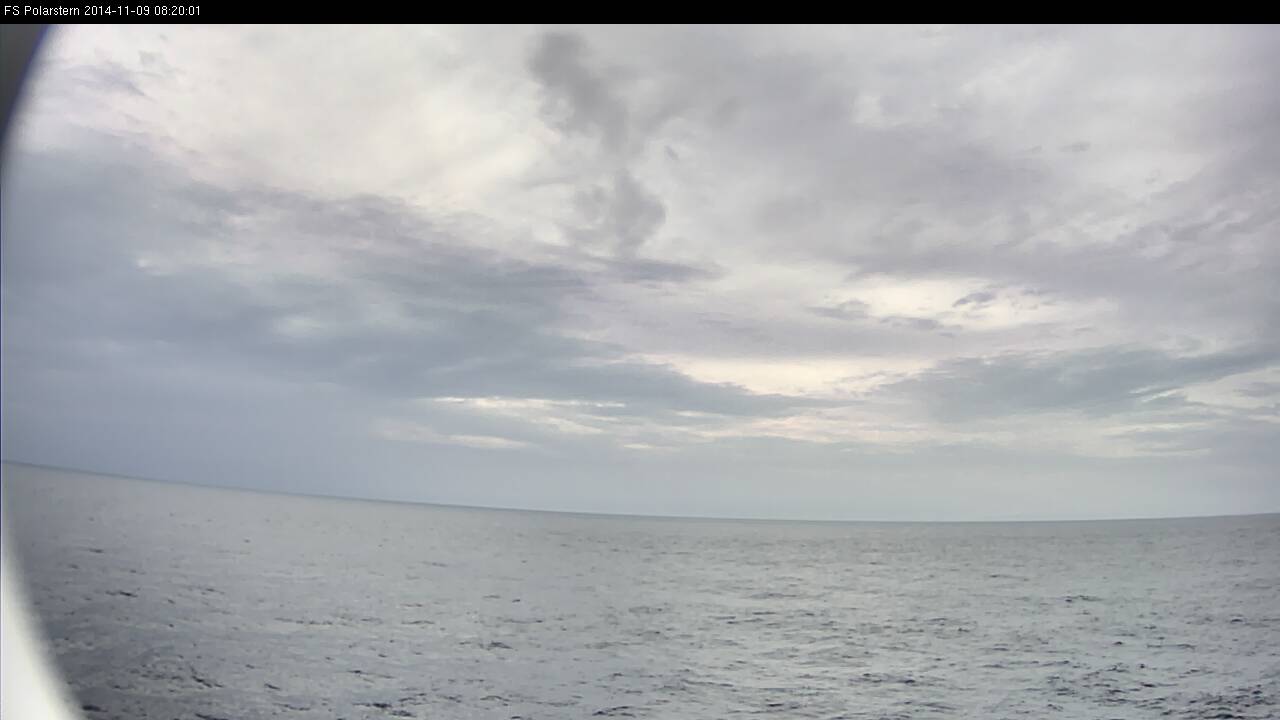
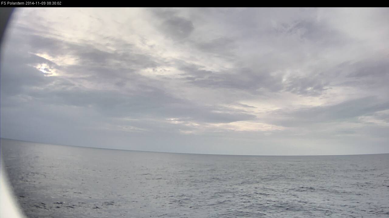
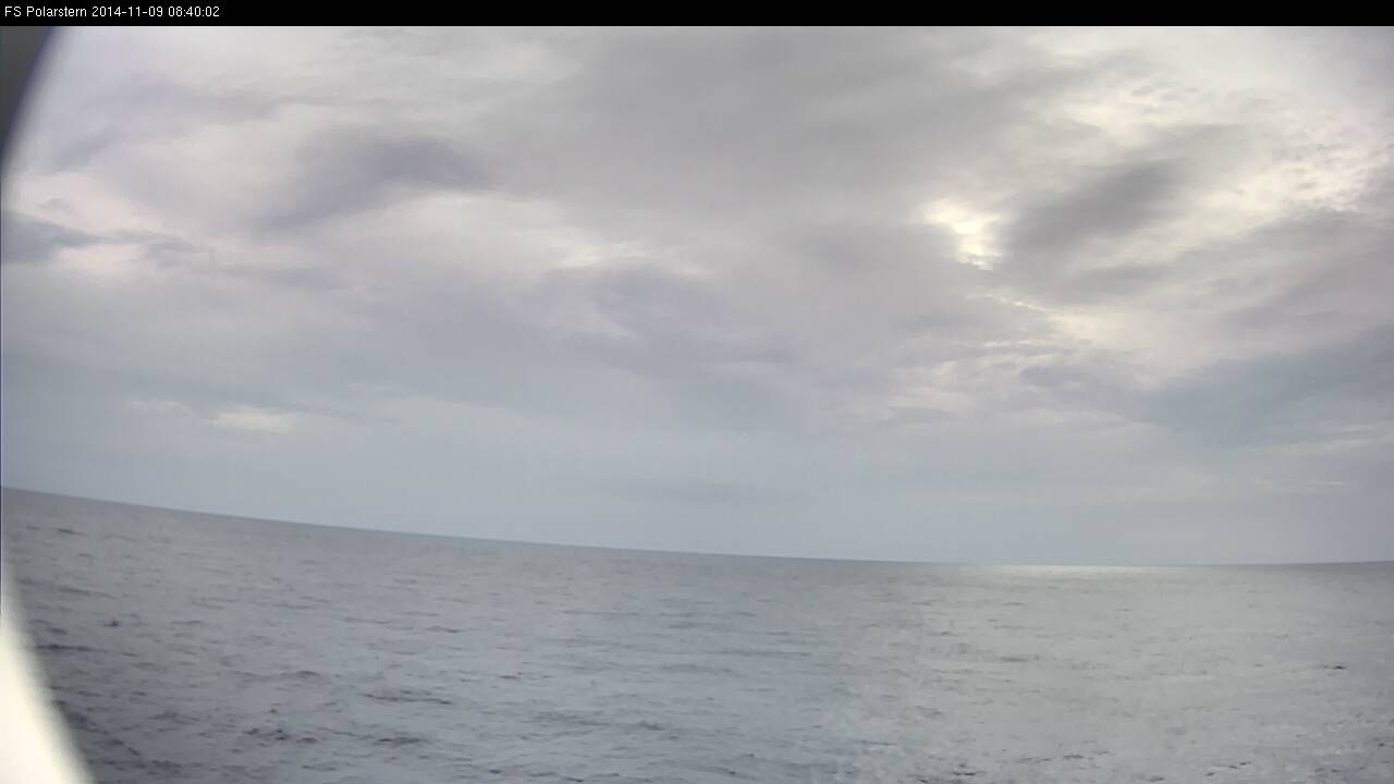
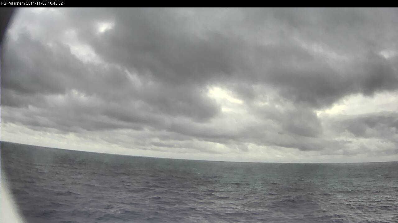
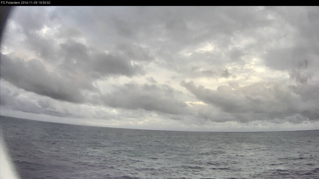
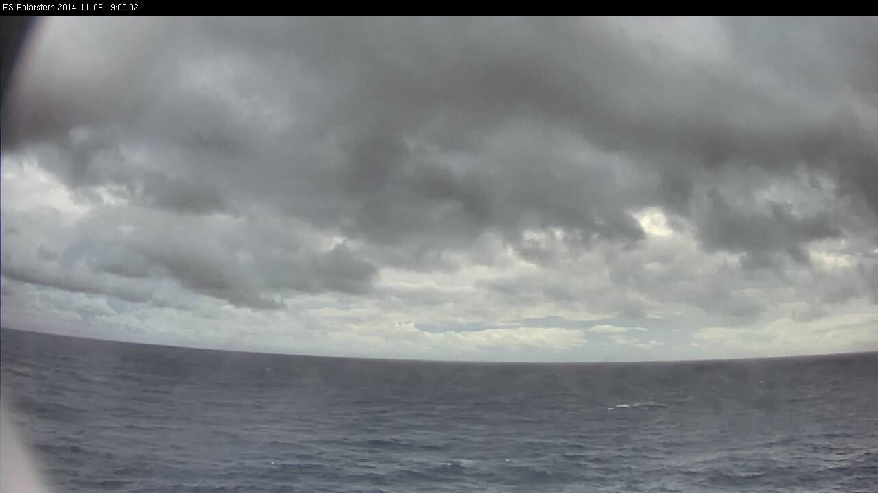
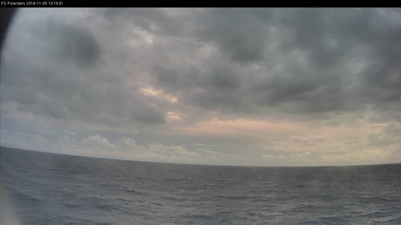
In this loop you will see all daytime webcam images taken every 10 minutes on 9 Nov 2014 between 07:10 UTC and 19:40 UTC.
Loop 4: Note - click on the loop to go through individual images
In the morning the weather was mostly cloudy with different cloud layers and some short sunny intervals. From 12:00 UTC on showers began to develop around the Polarstern.