Weather situation on 10 Nov 2014
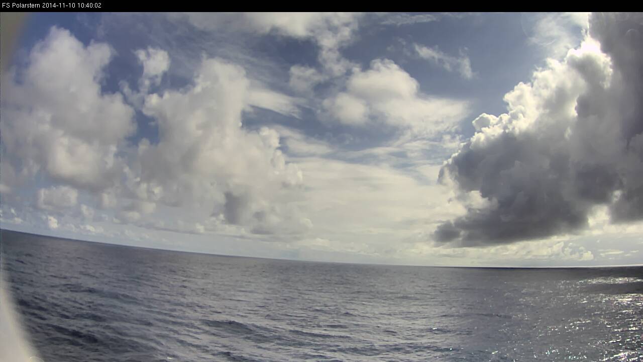
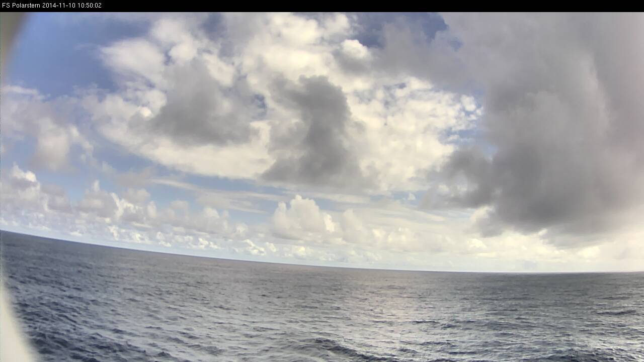
The Polarstern was sailing in the Inter Tropical Convergence Zone. On that day the weather was fair, but shower activity increased during the afternoon.
The small, strong yellow area south of the Polarstern's position (orange dot and white arrow) marks strong thunderstorms in the Severe Storms RGB. This is the biggest advantage of this RGB.
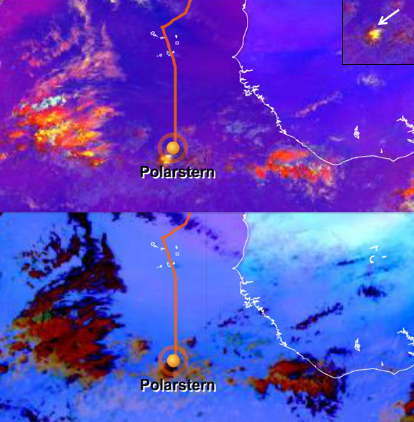
Figure L2-12: 10 Nov 2014, 12:00 UTC. Above: Severe Storms RGB.
Below: Dust RGB. Source: EUMeTrain.
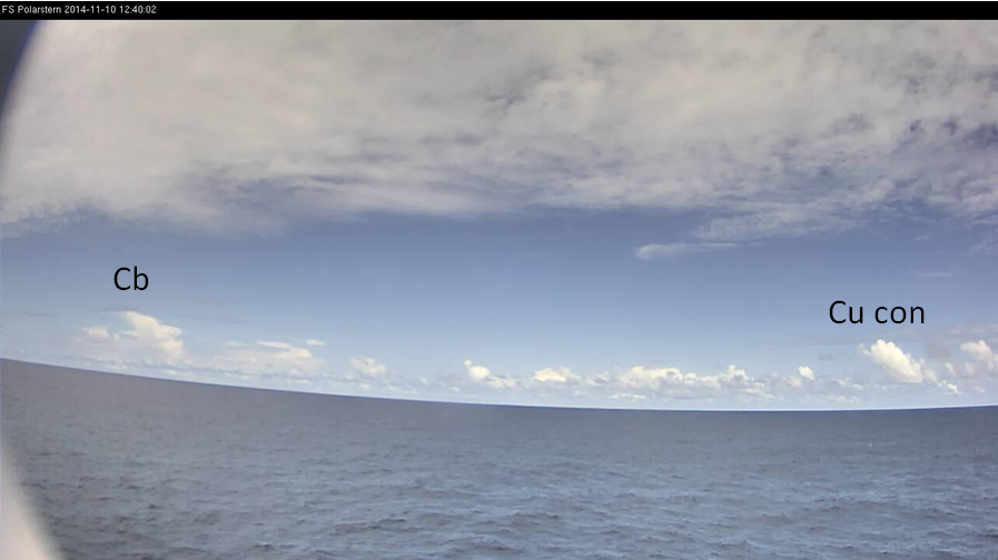
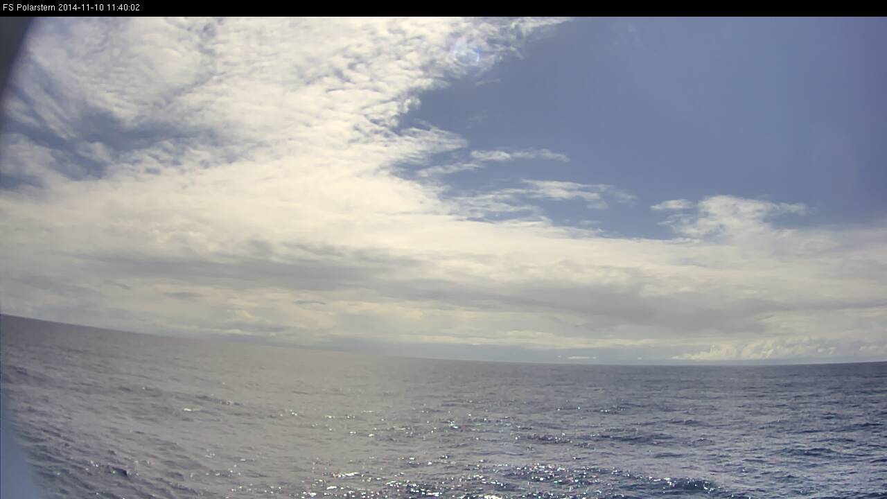
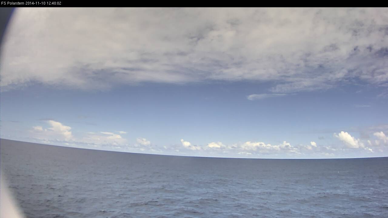
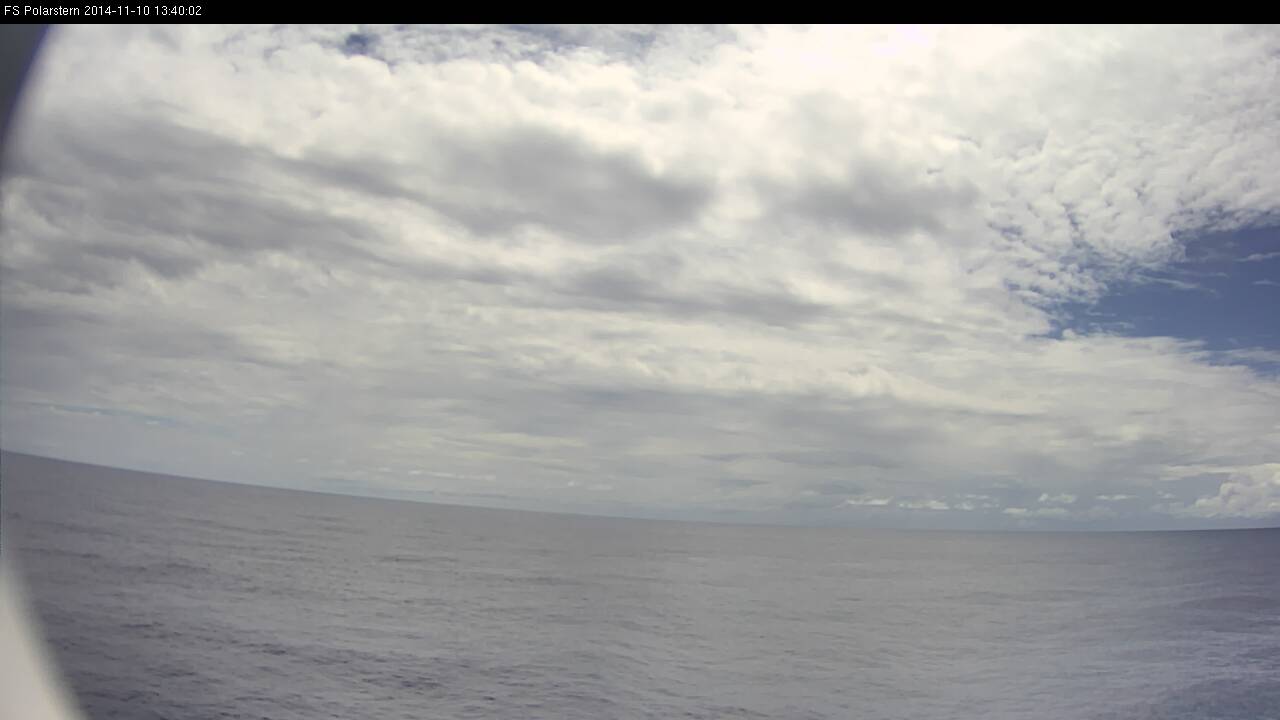
Figure L2-13: 10 Nov 2014,12:40 UTC. Cumulus congestus and cumulonimbus on the horizon, as seen from the webcam in the direction of travel on the left side (here eastward). Source: DWD.
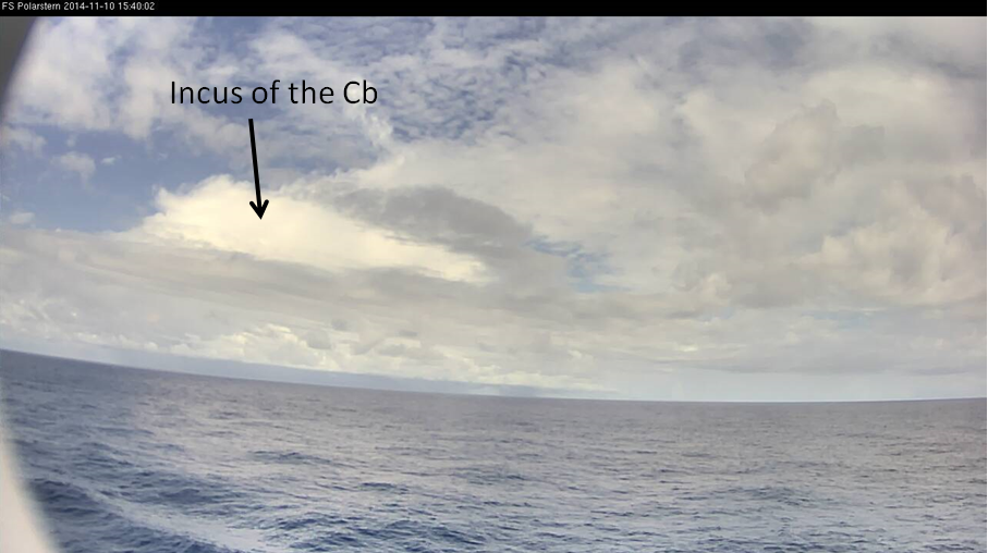
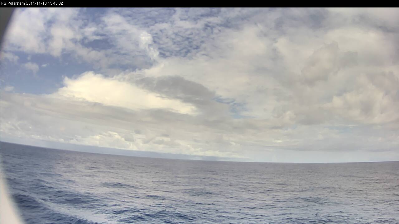
Figure L2-14: 10 Nov 2014, 15:40 UTC. Pronounced cumulonimbus with an incus, which is seen in the satellite images. Source: DWD.
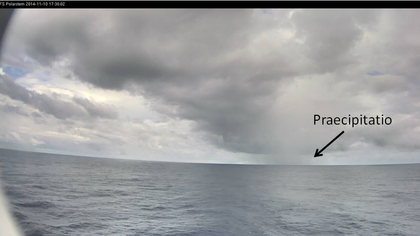
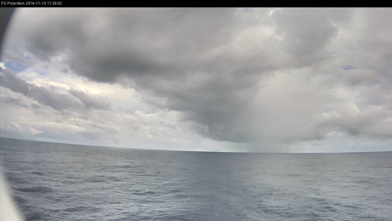
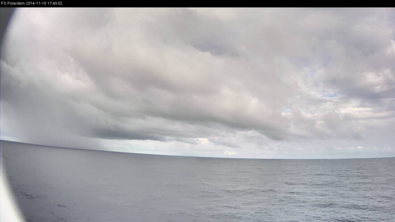
Figure L2-15: 10 Nov 2014, 17:30 UTC. Rain shower with precipitation that reaches the ocean surface (Praecipitatio). Source: DWD.
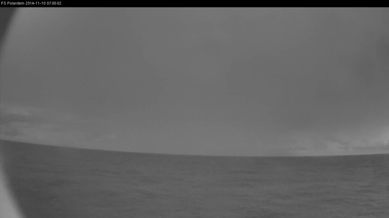
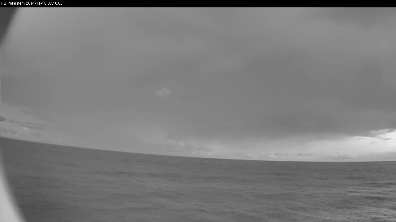
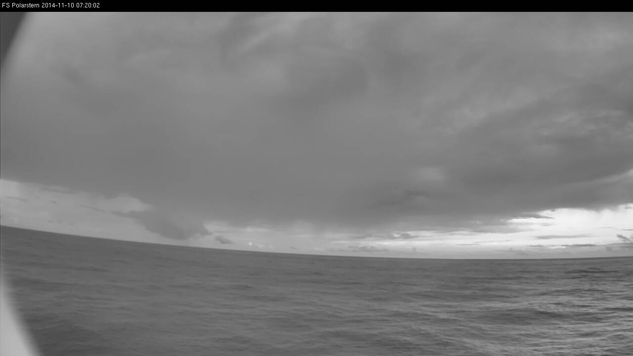
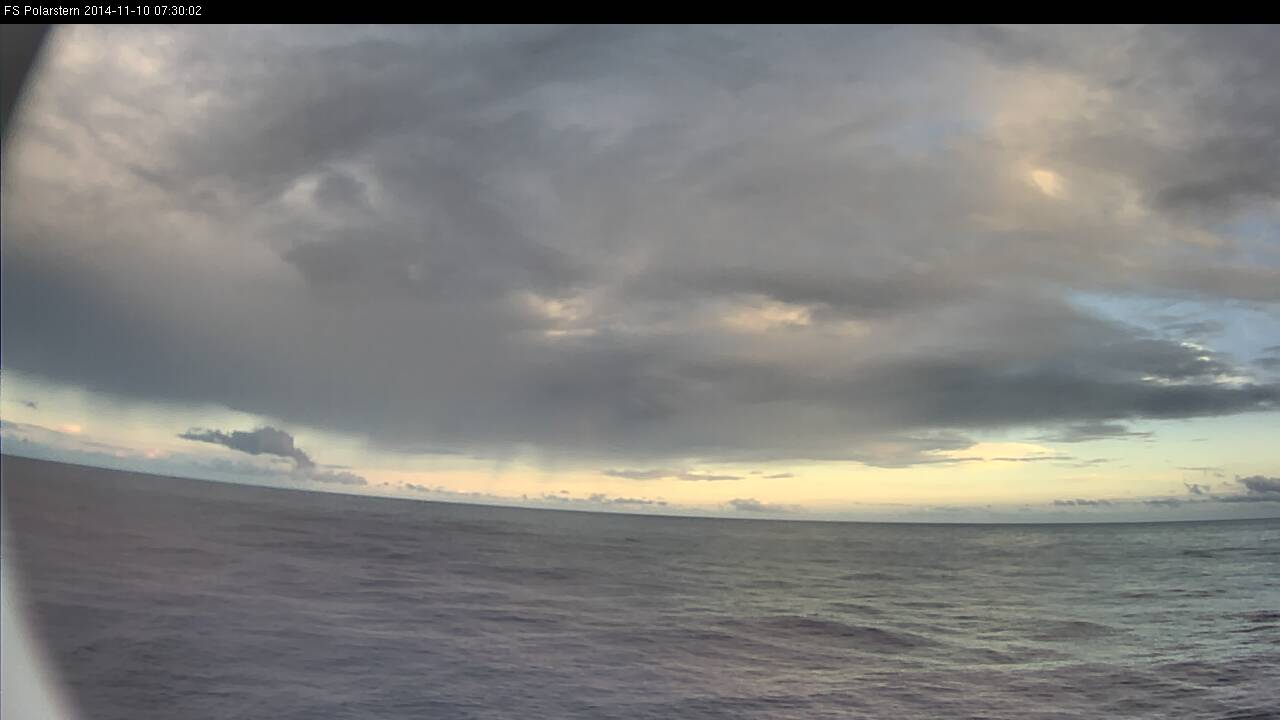
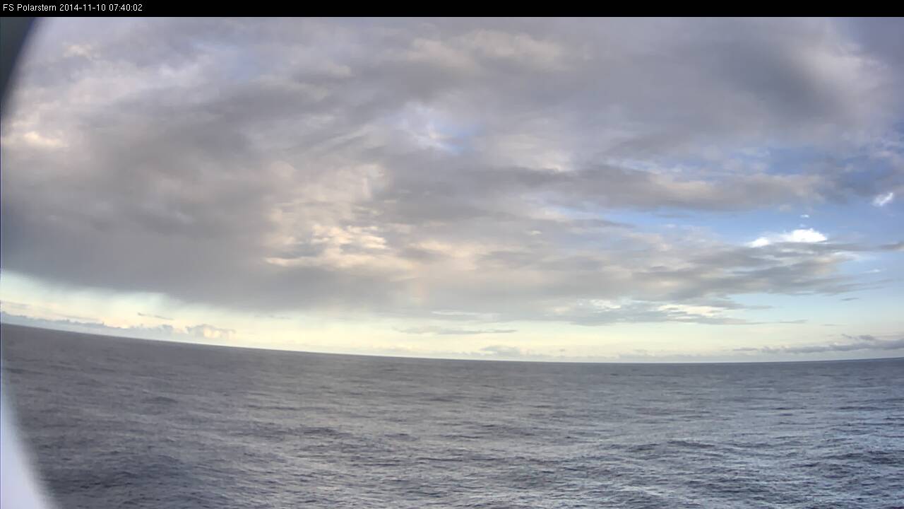
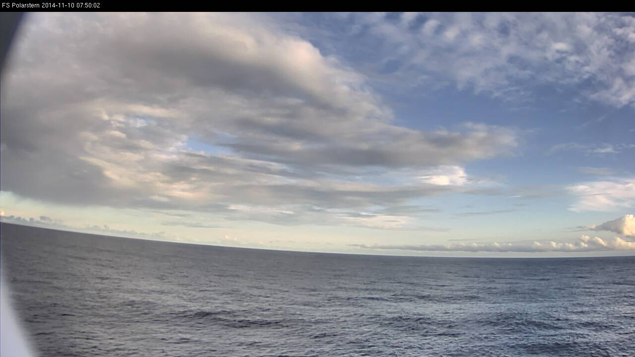
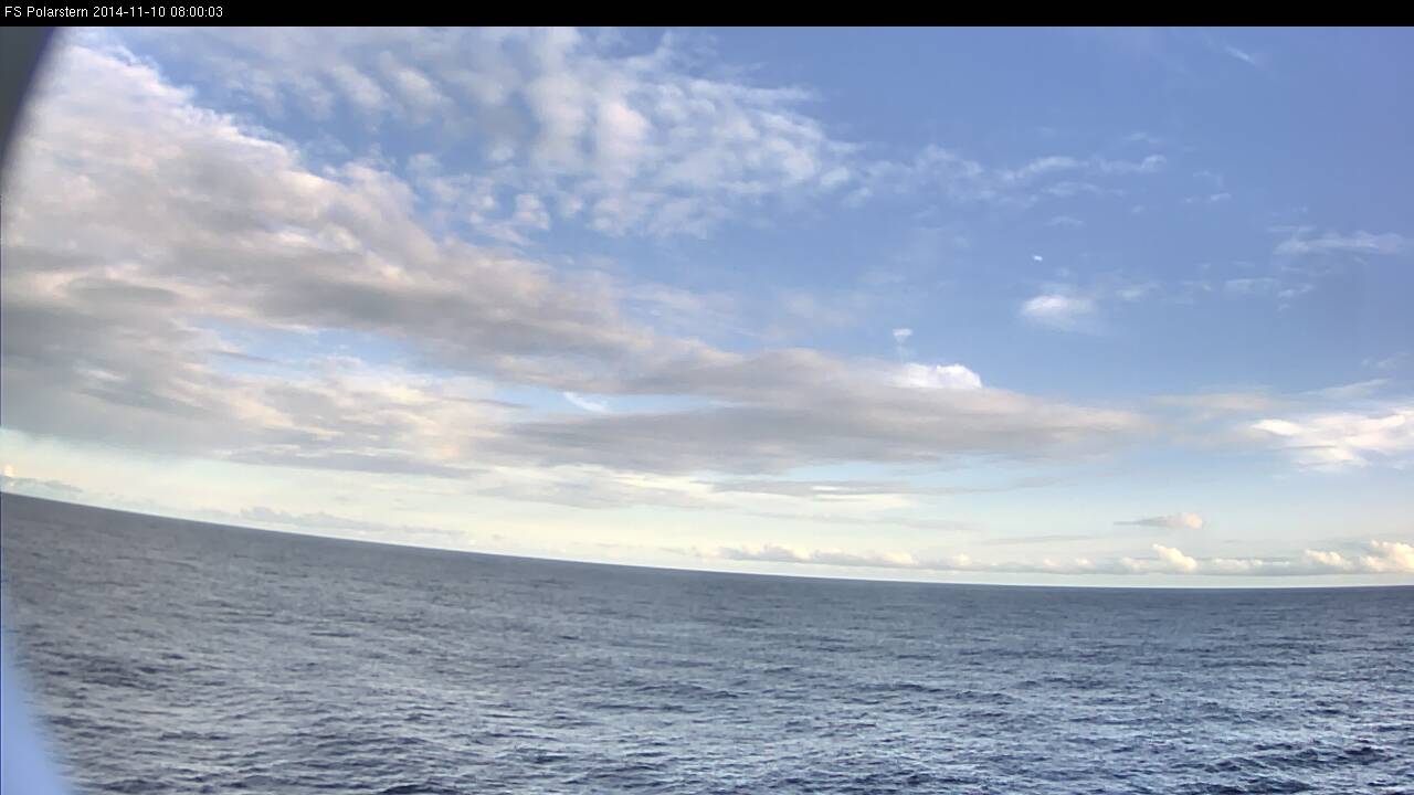
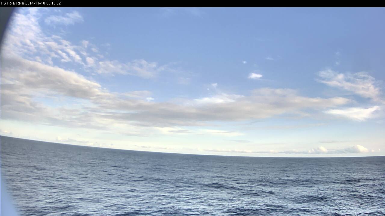
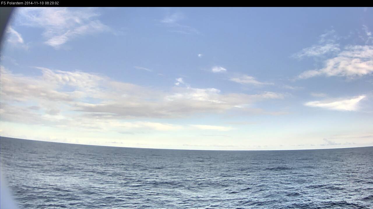
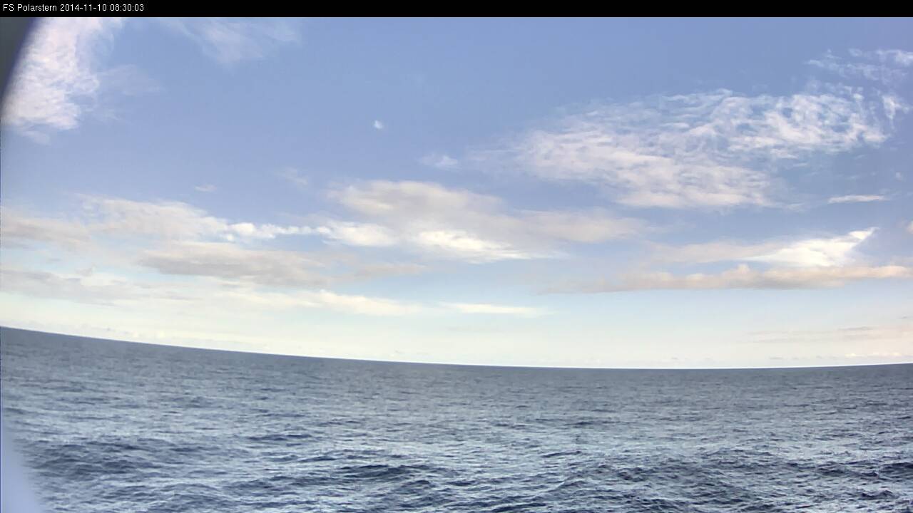
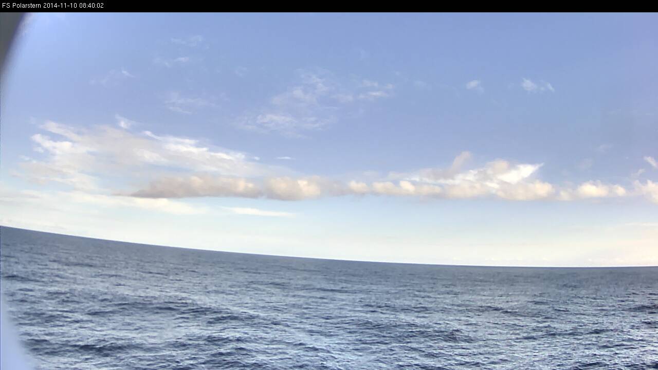
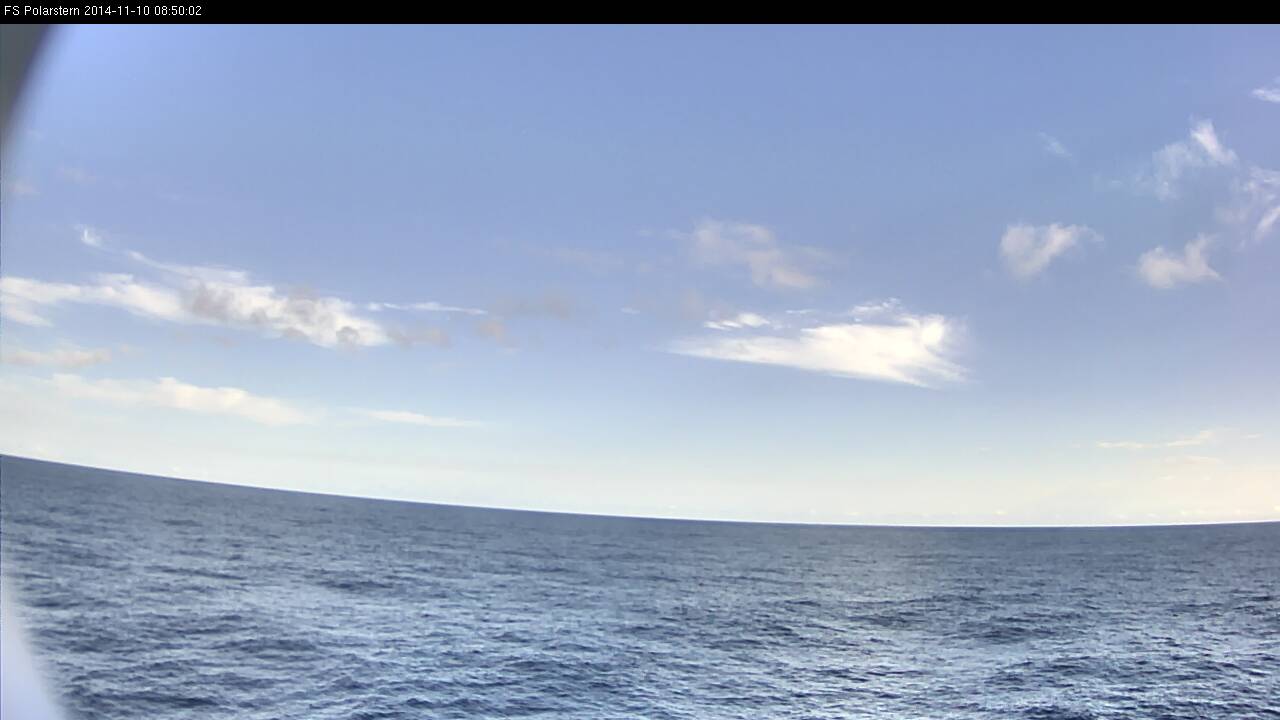
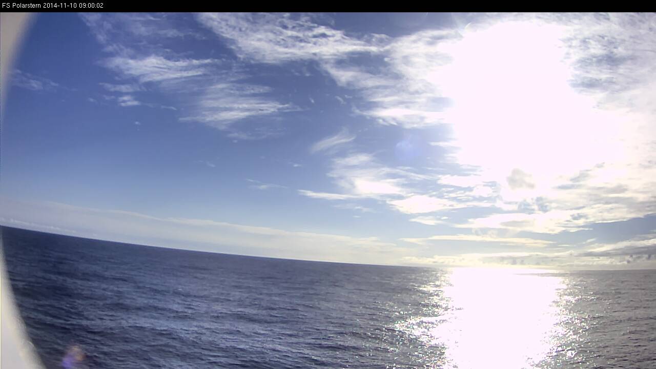
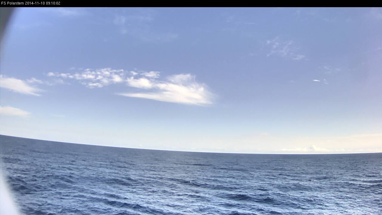
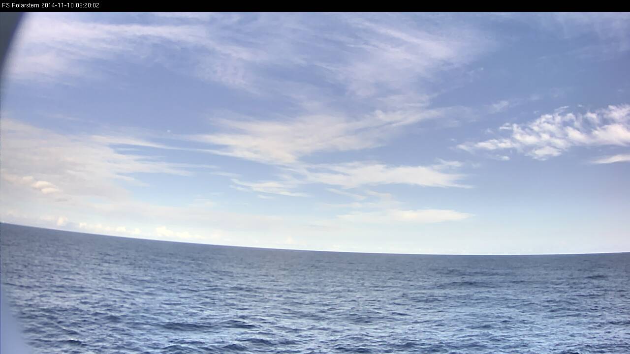
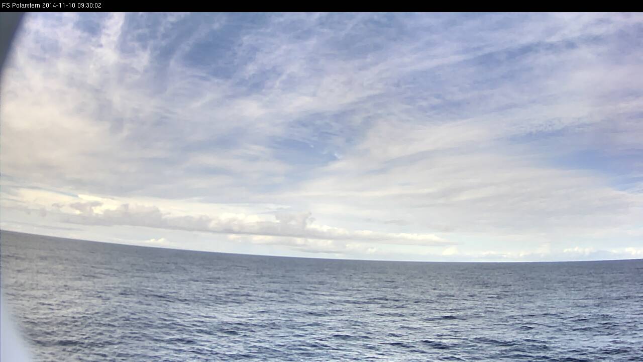
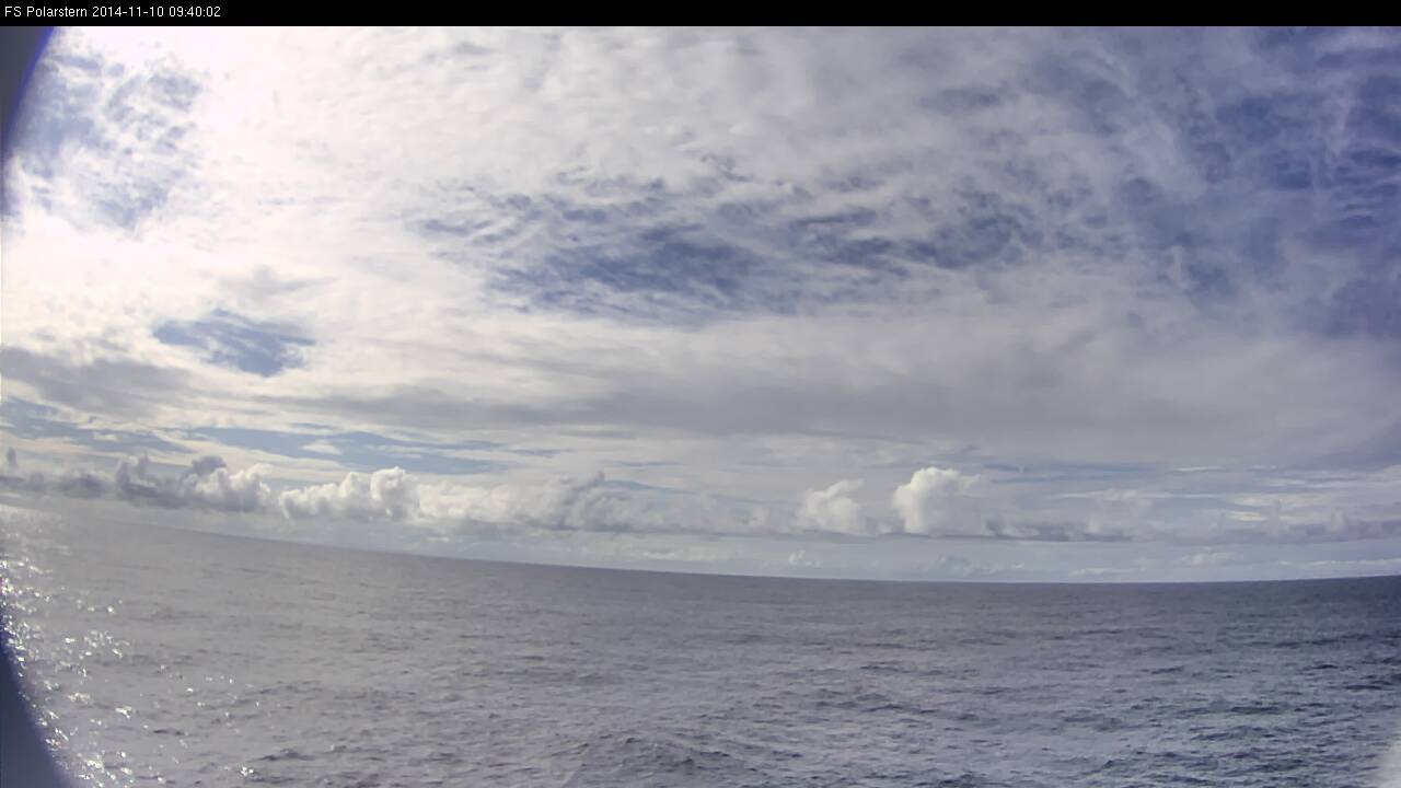
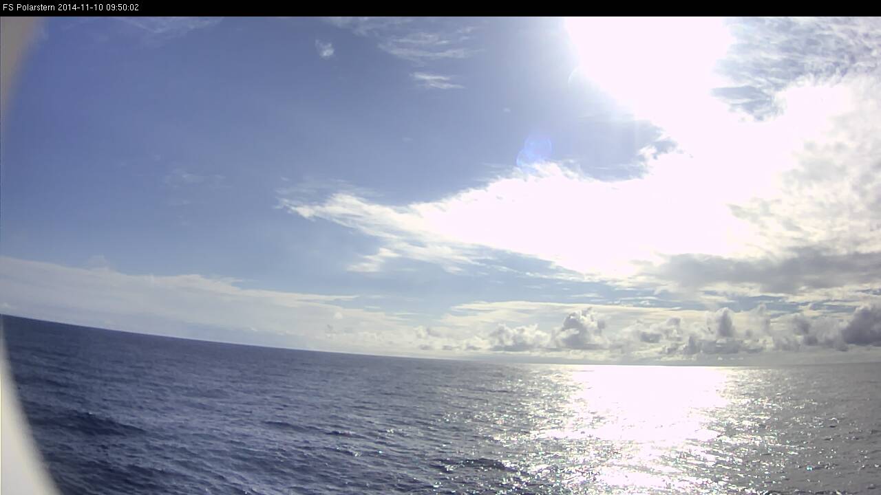
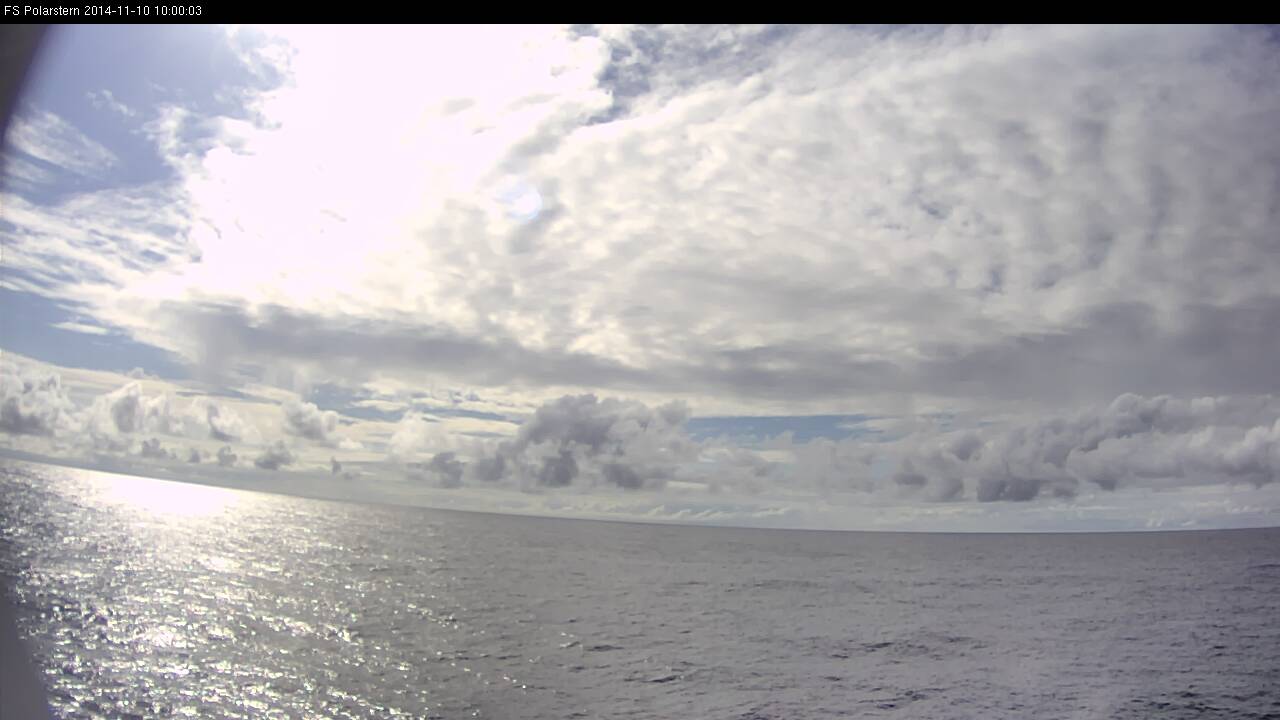
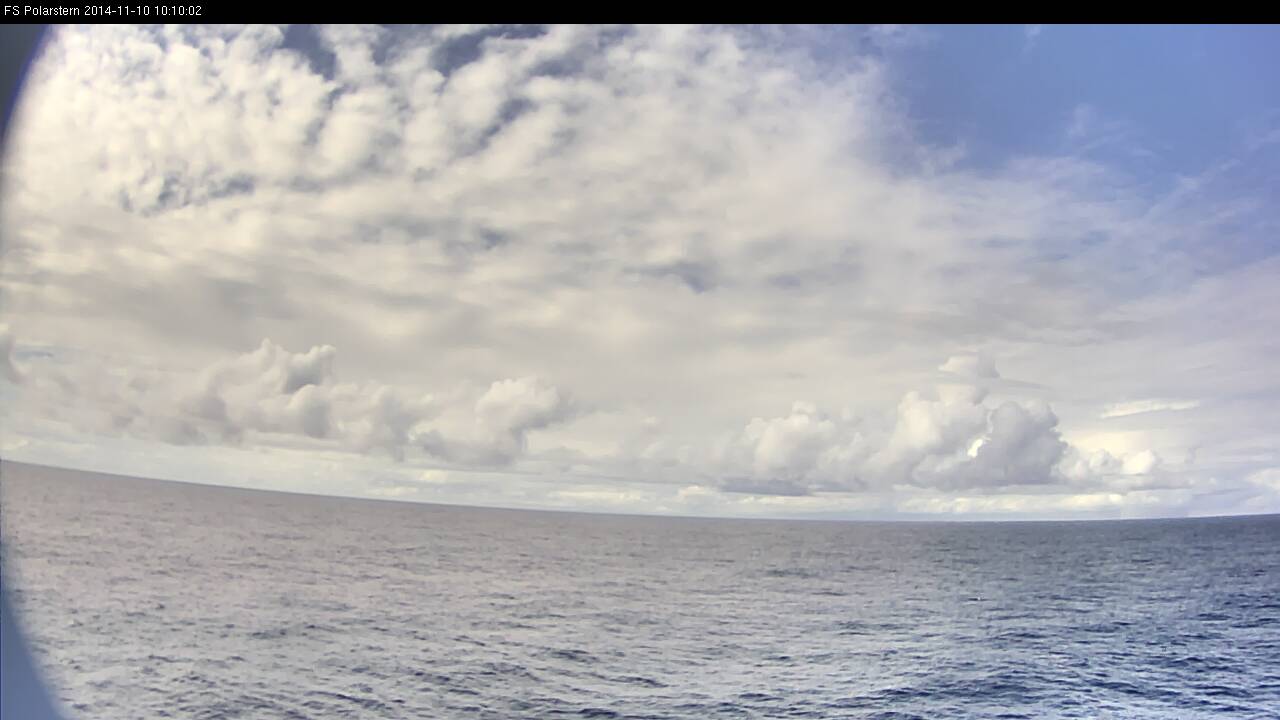
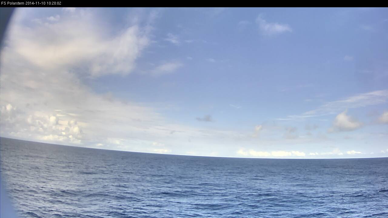
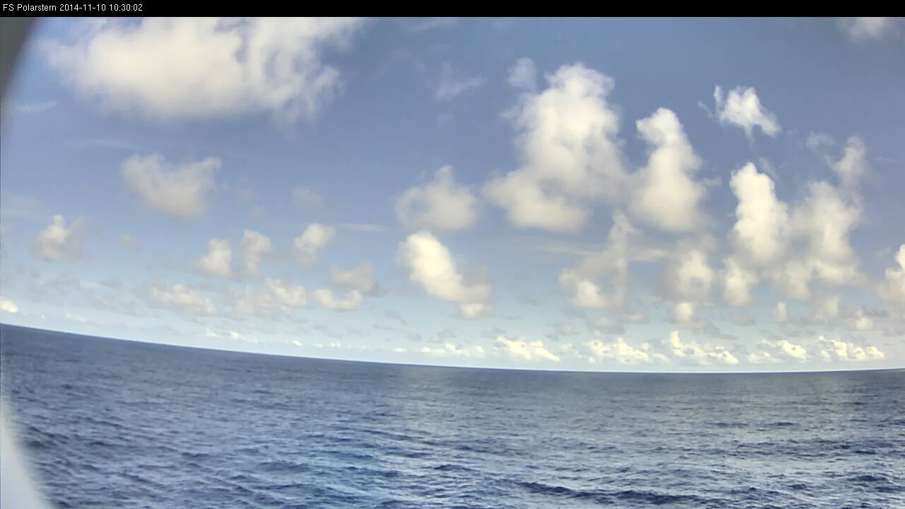
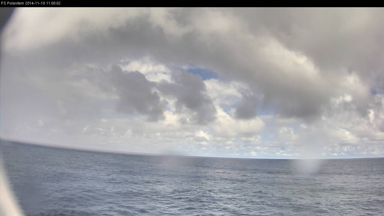
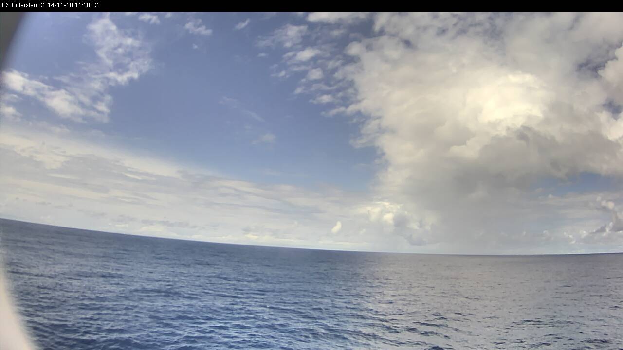
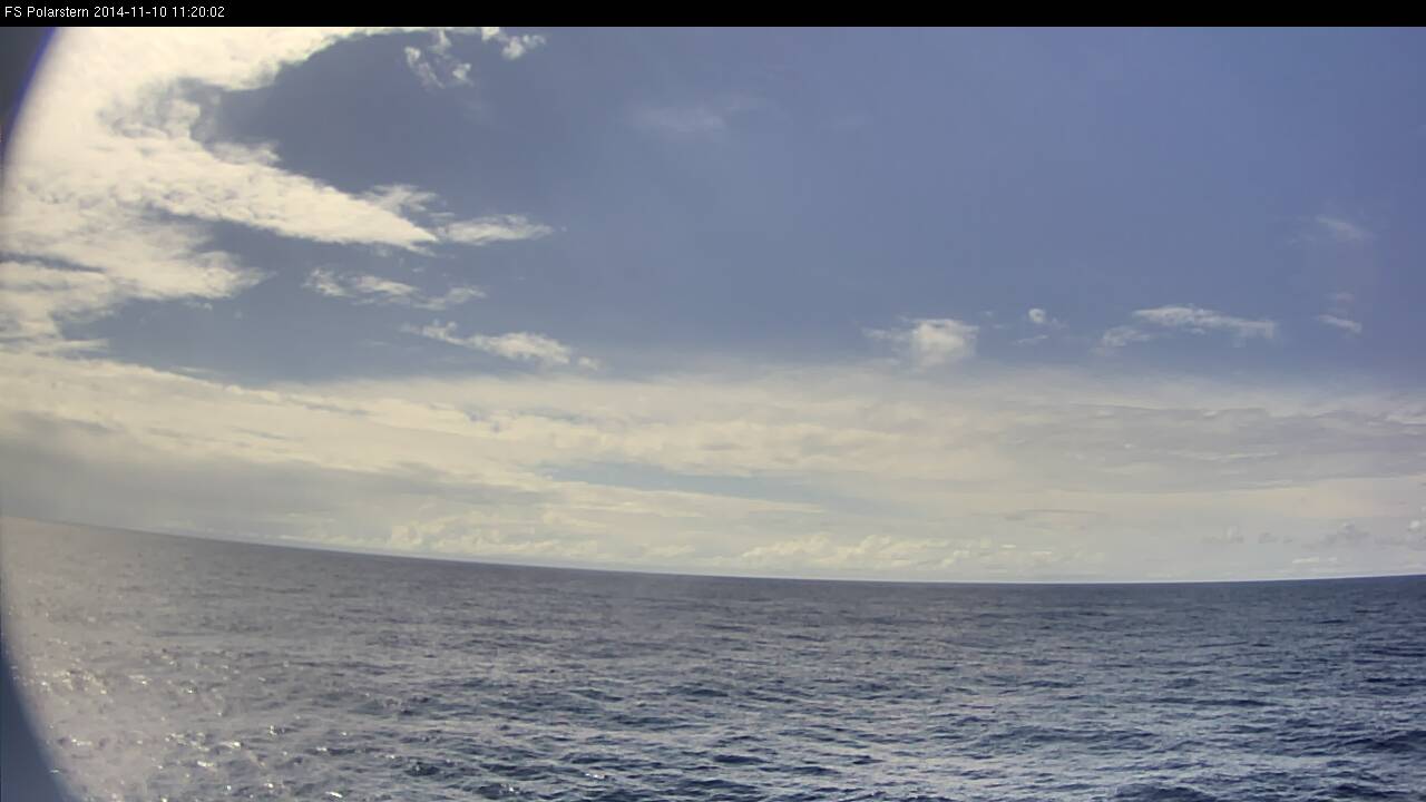
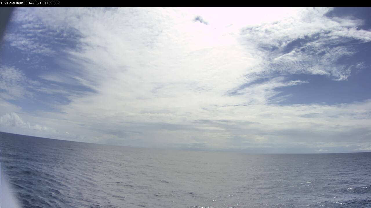
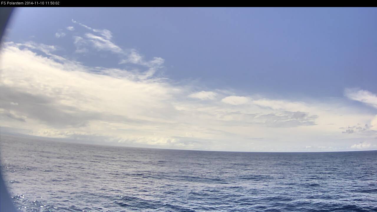
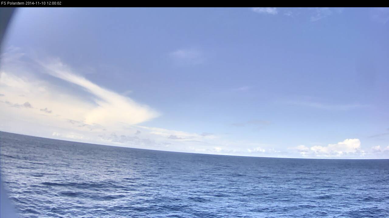
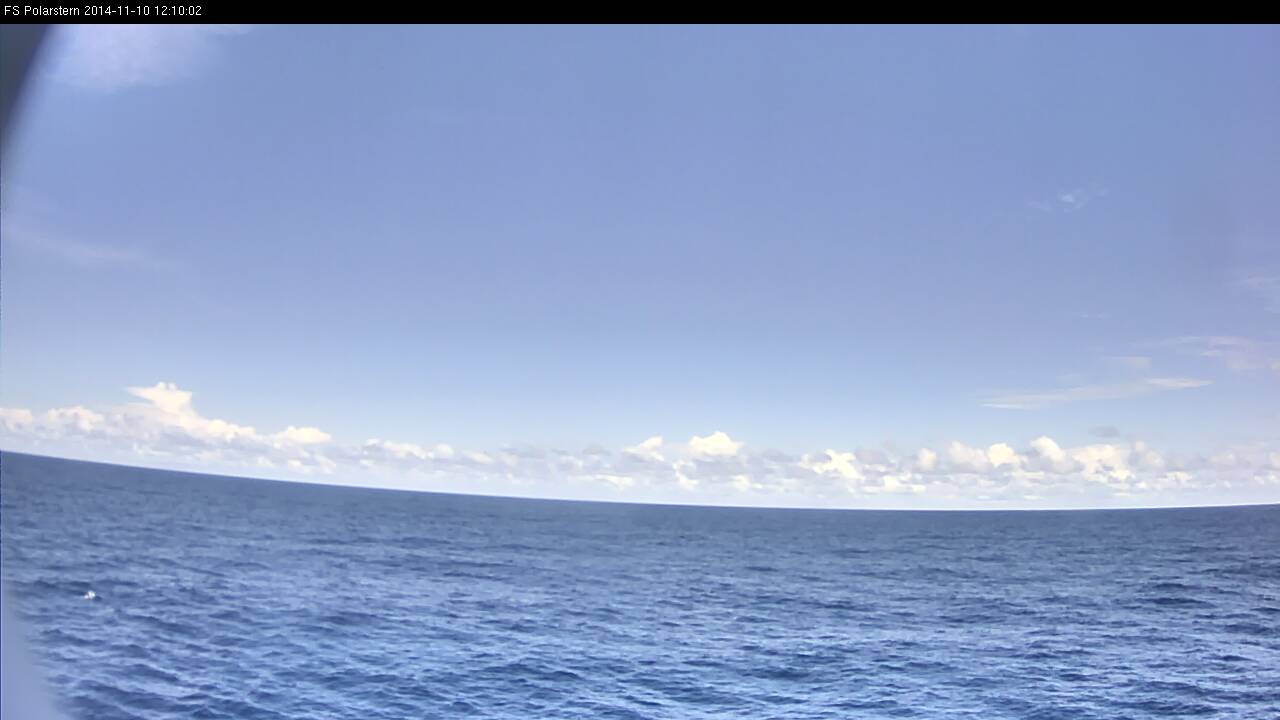
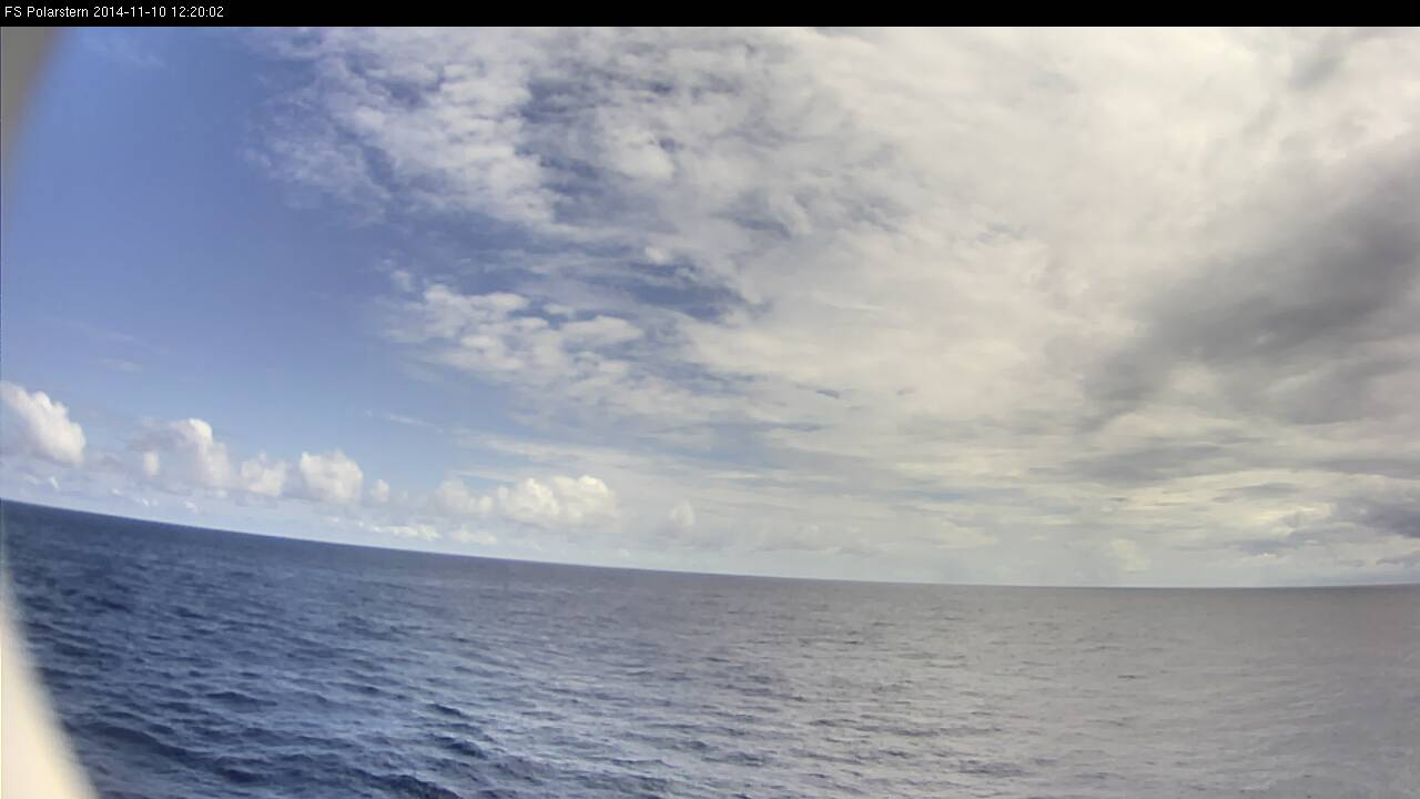
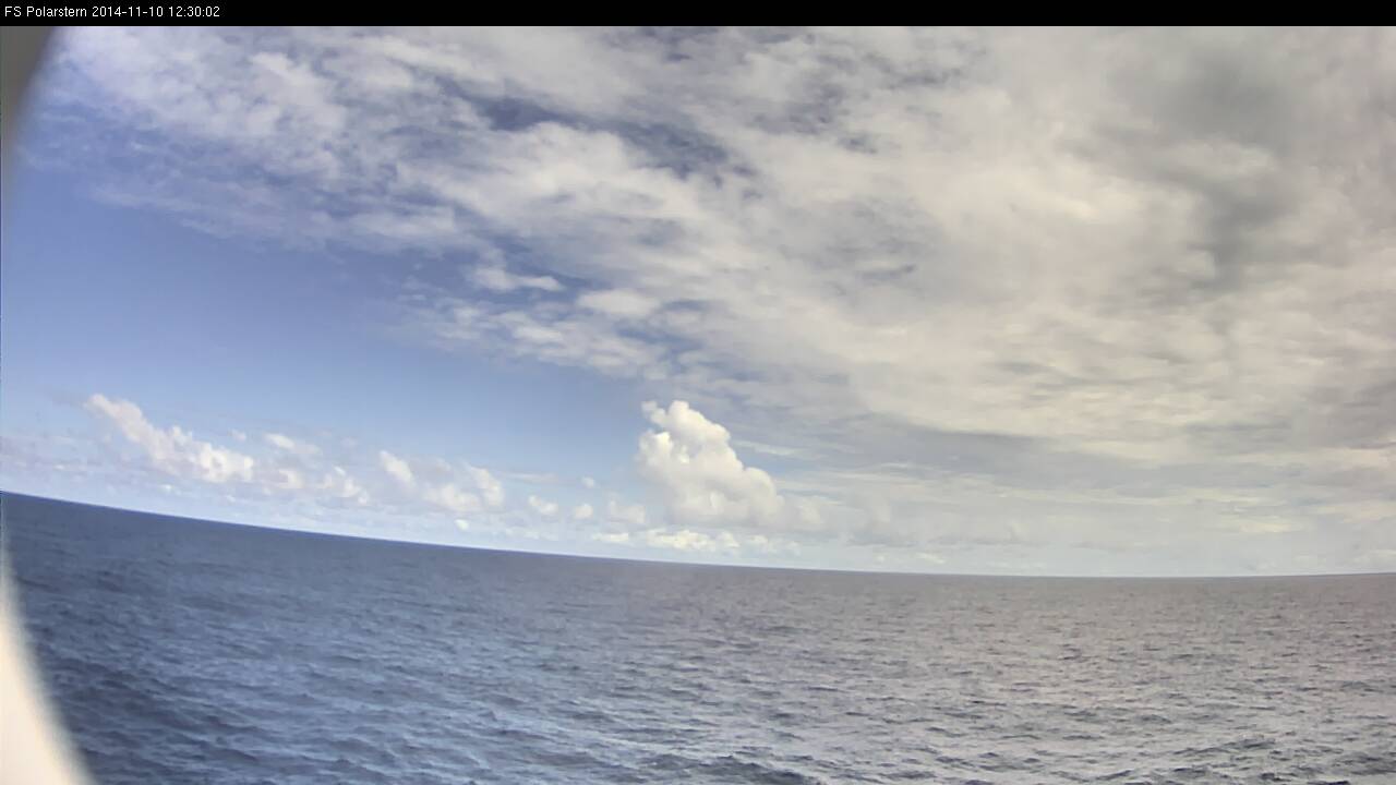
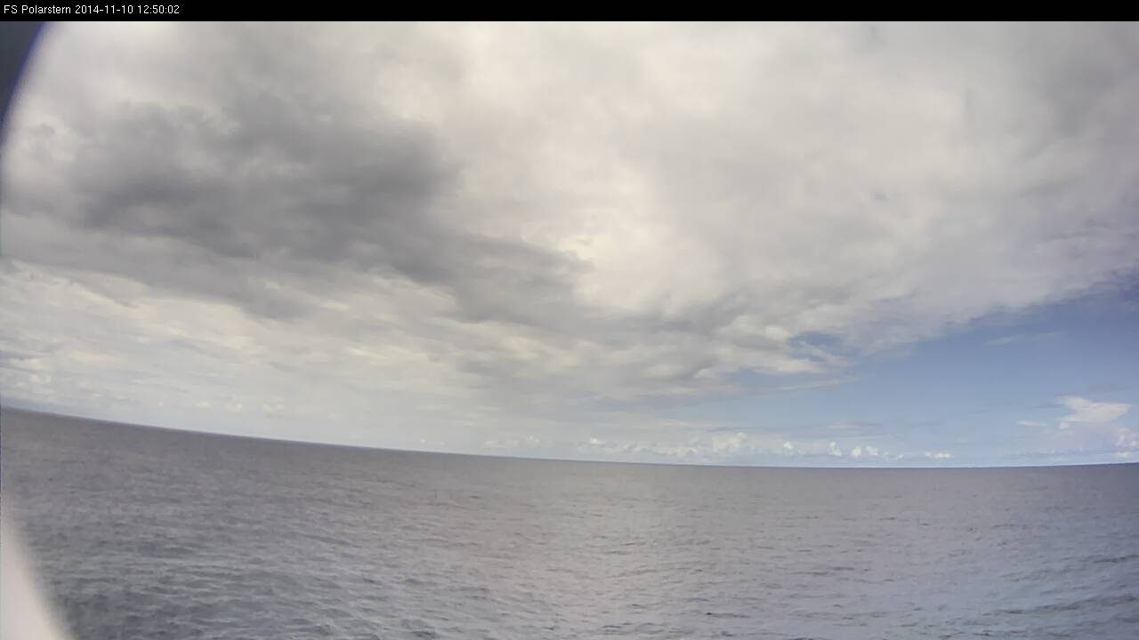
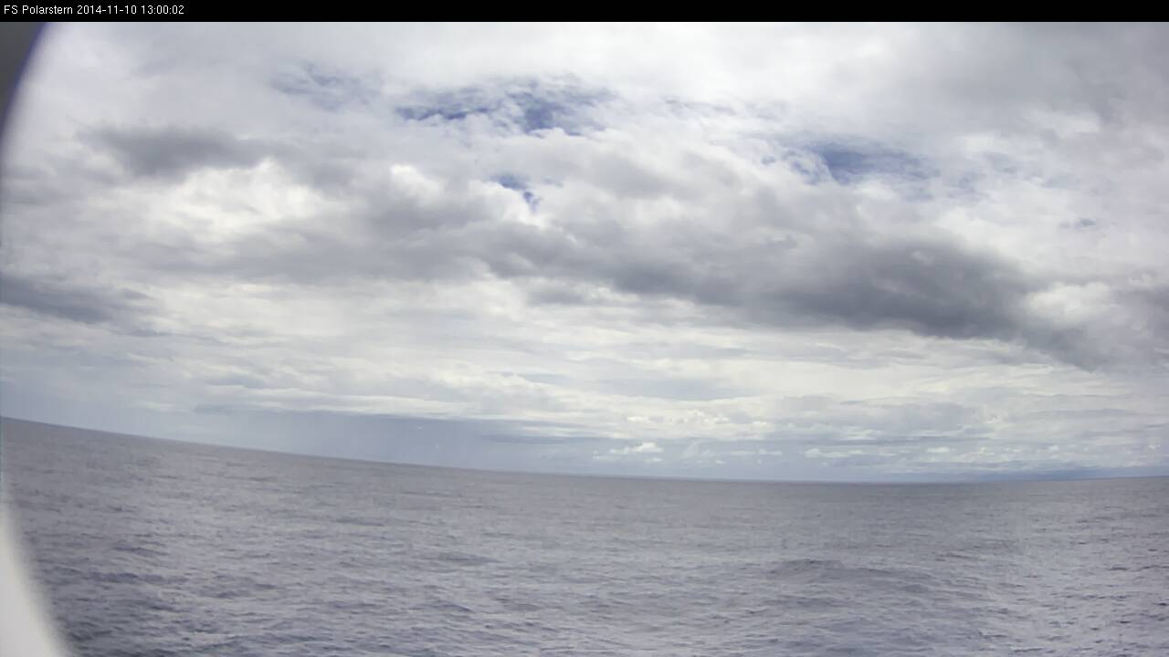
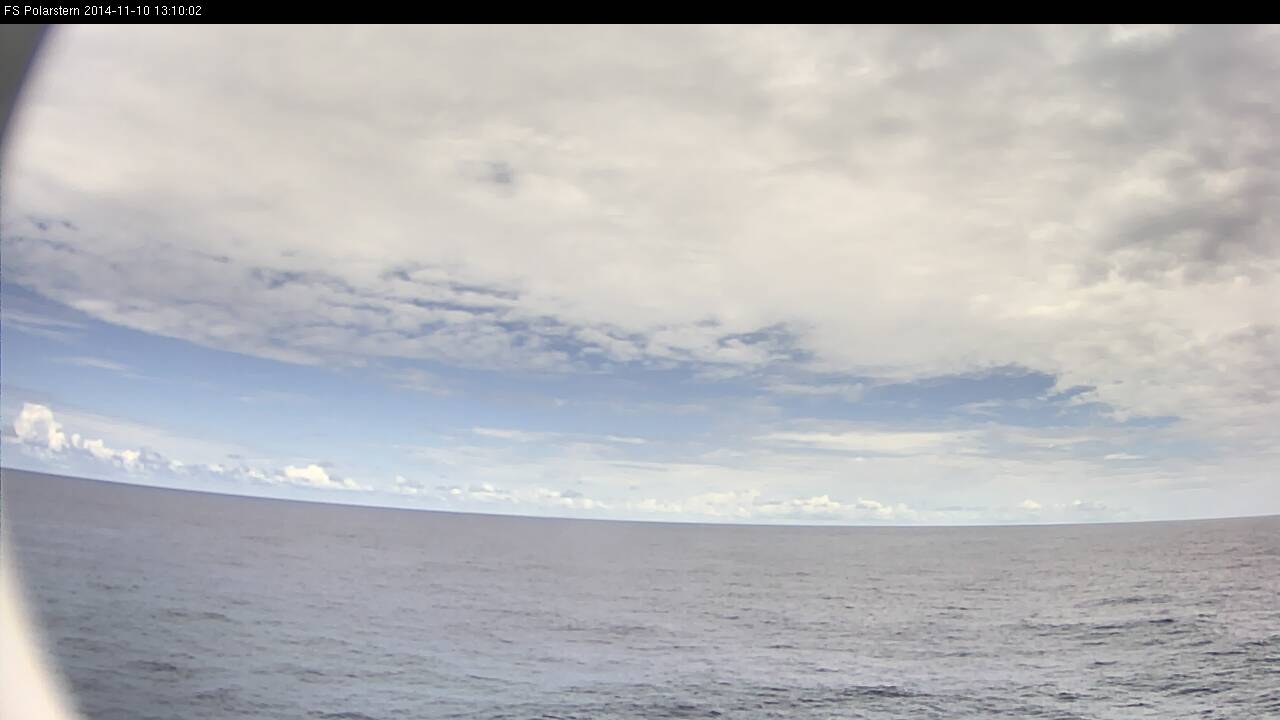
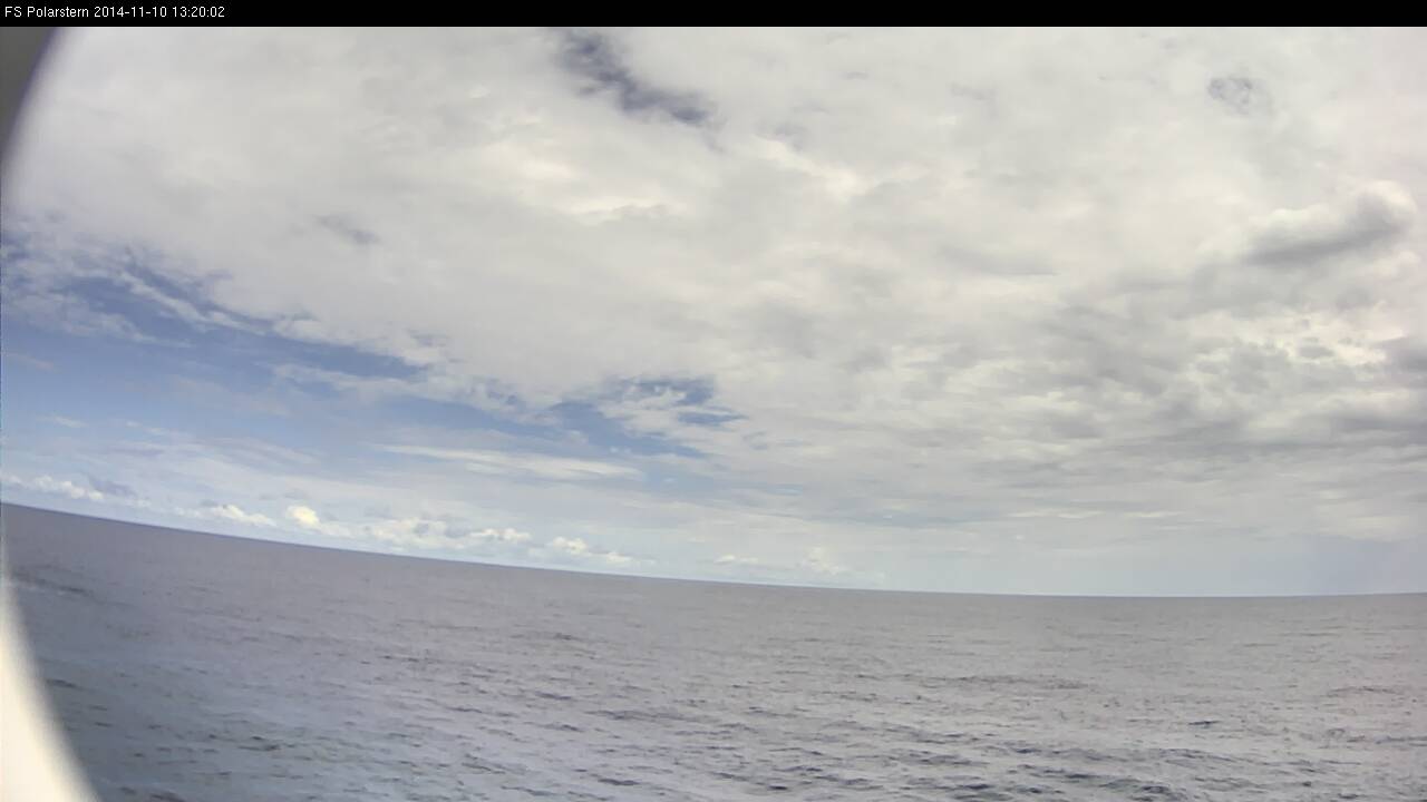
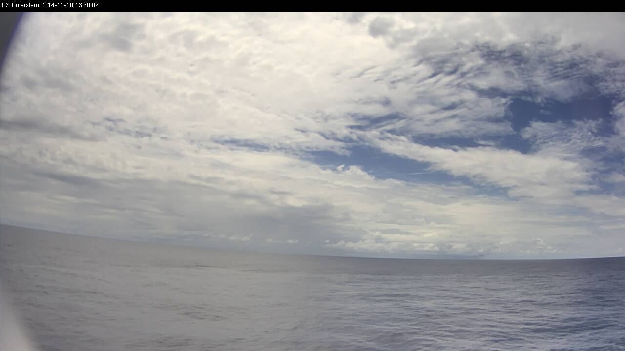
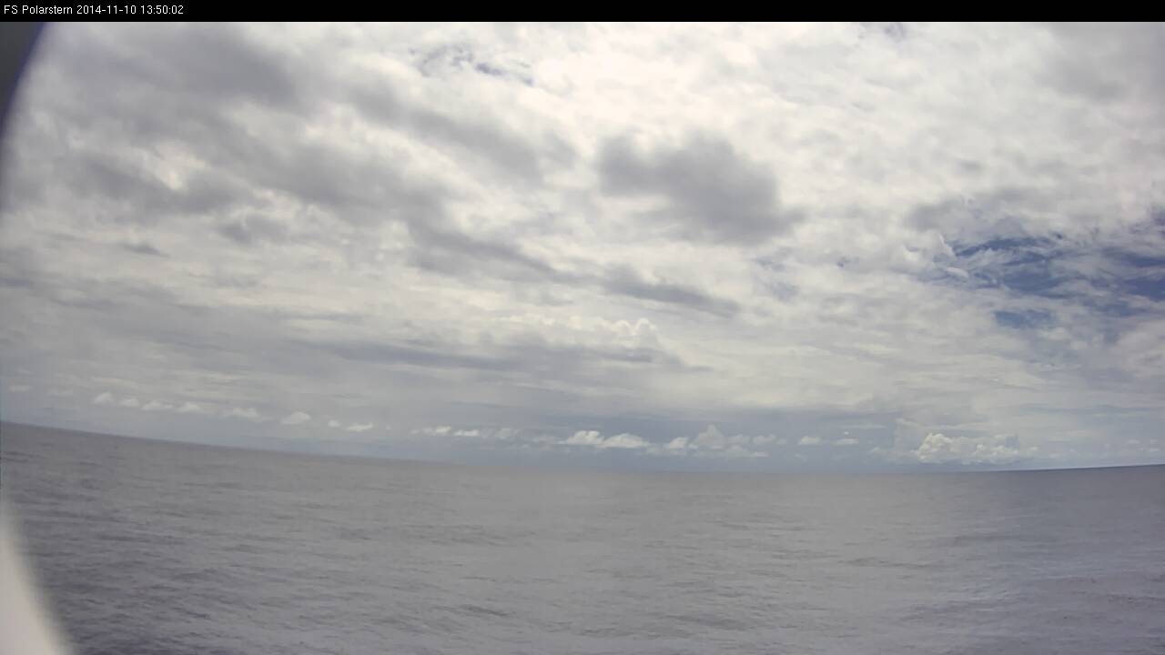
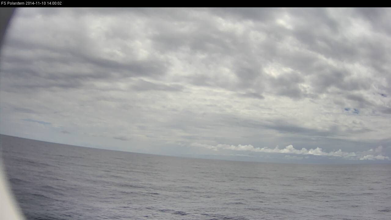
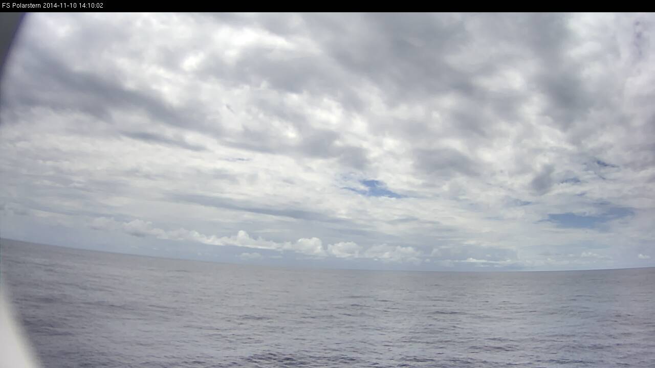
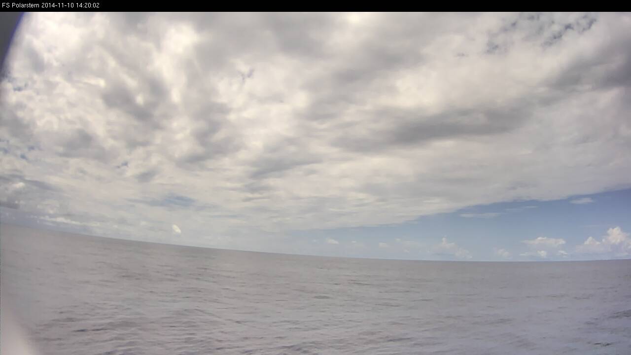
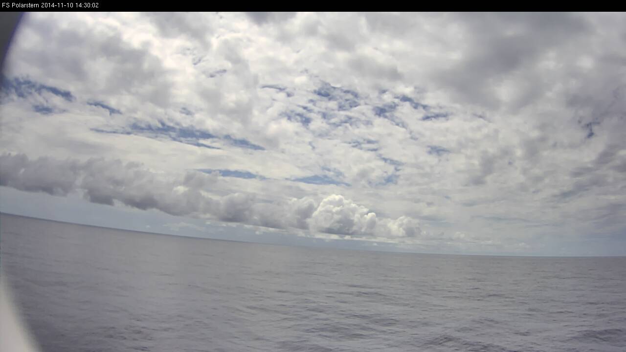
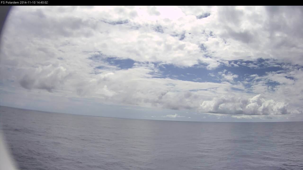
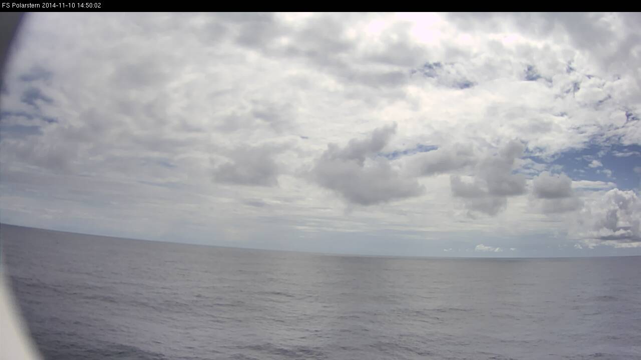
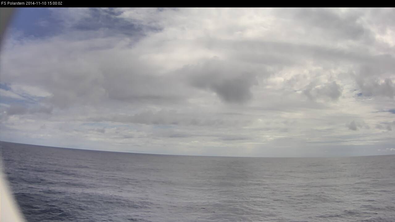
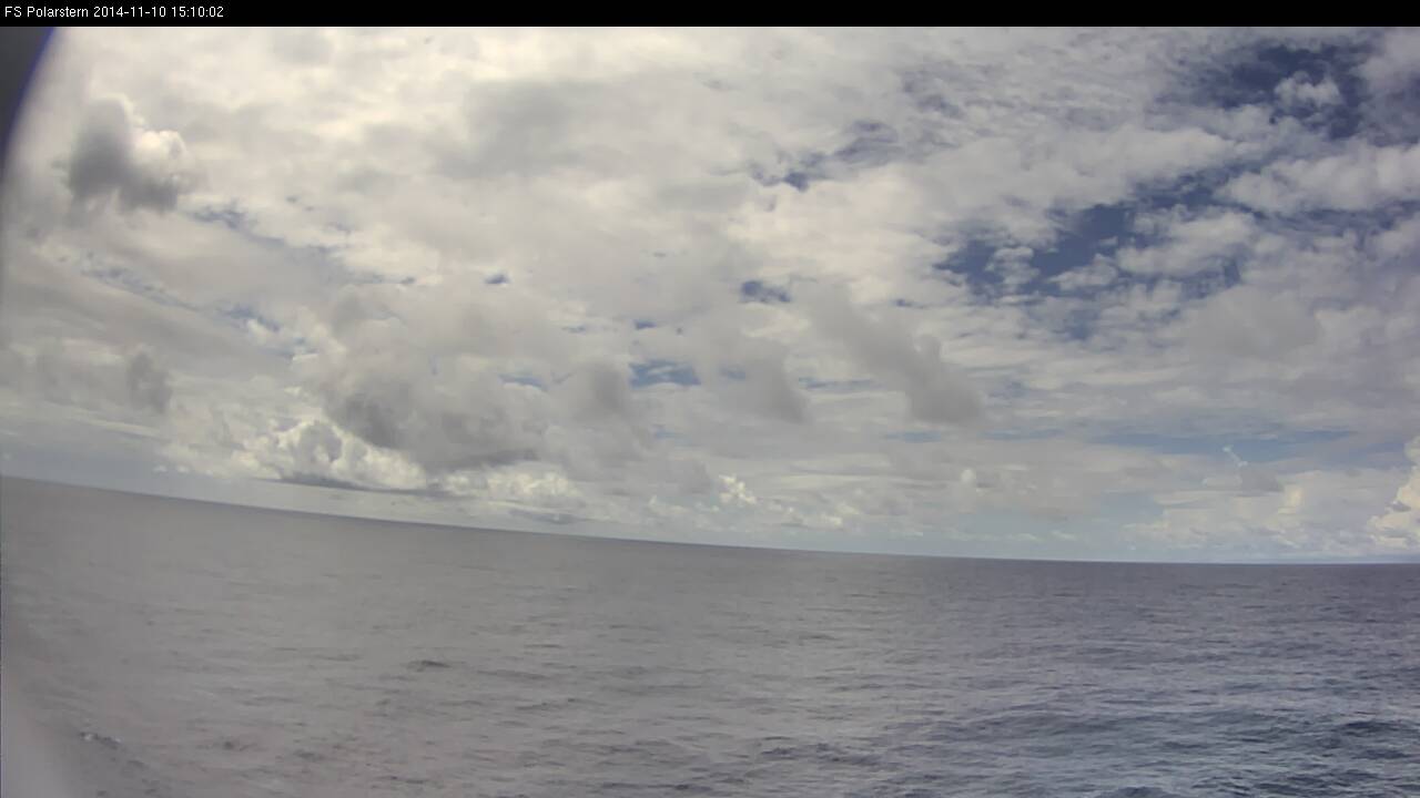
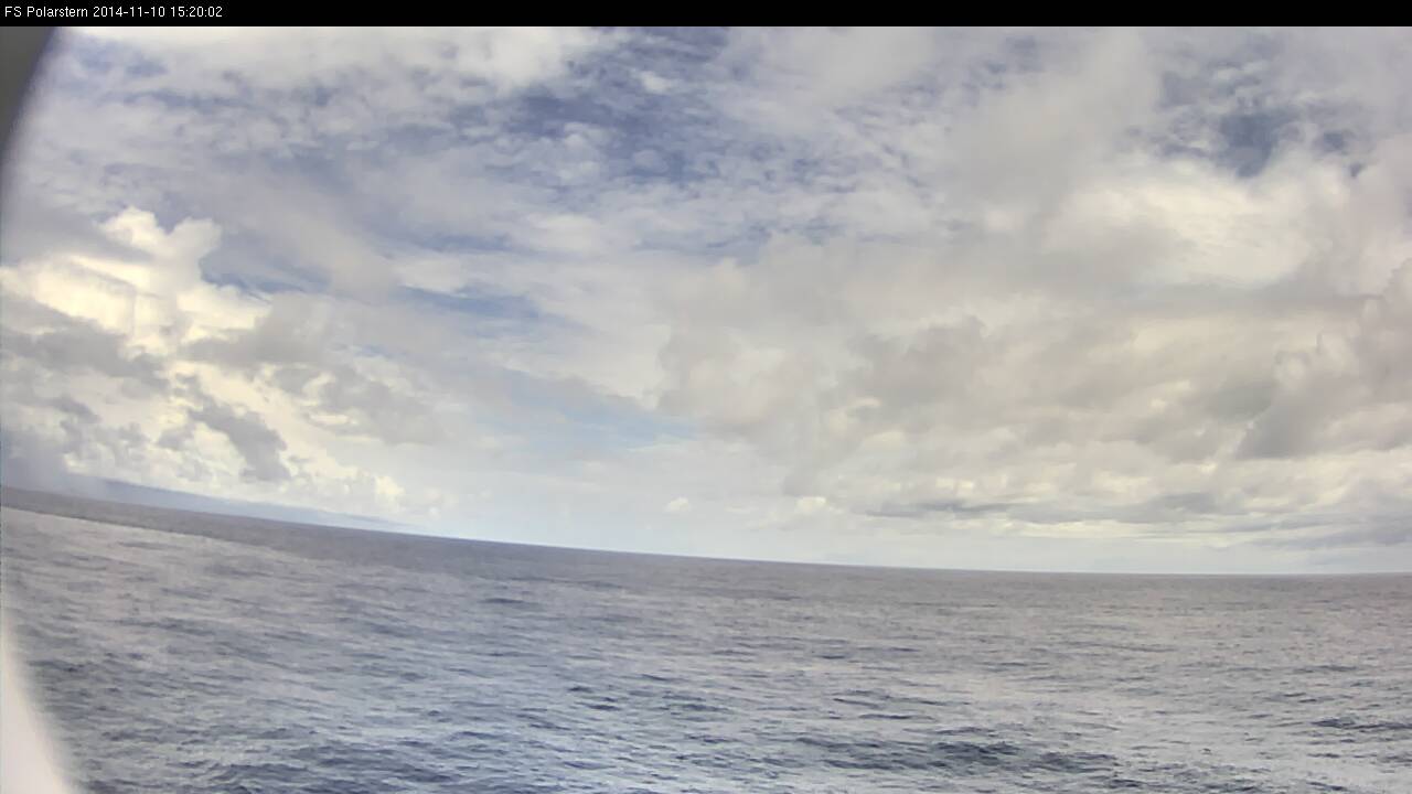
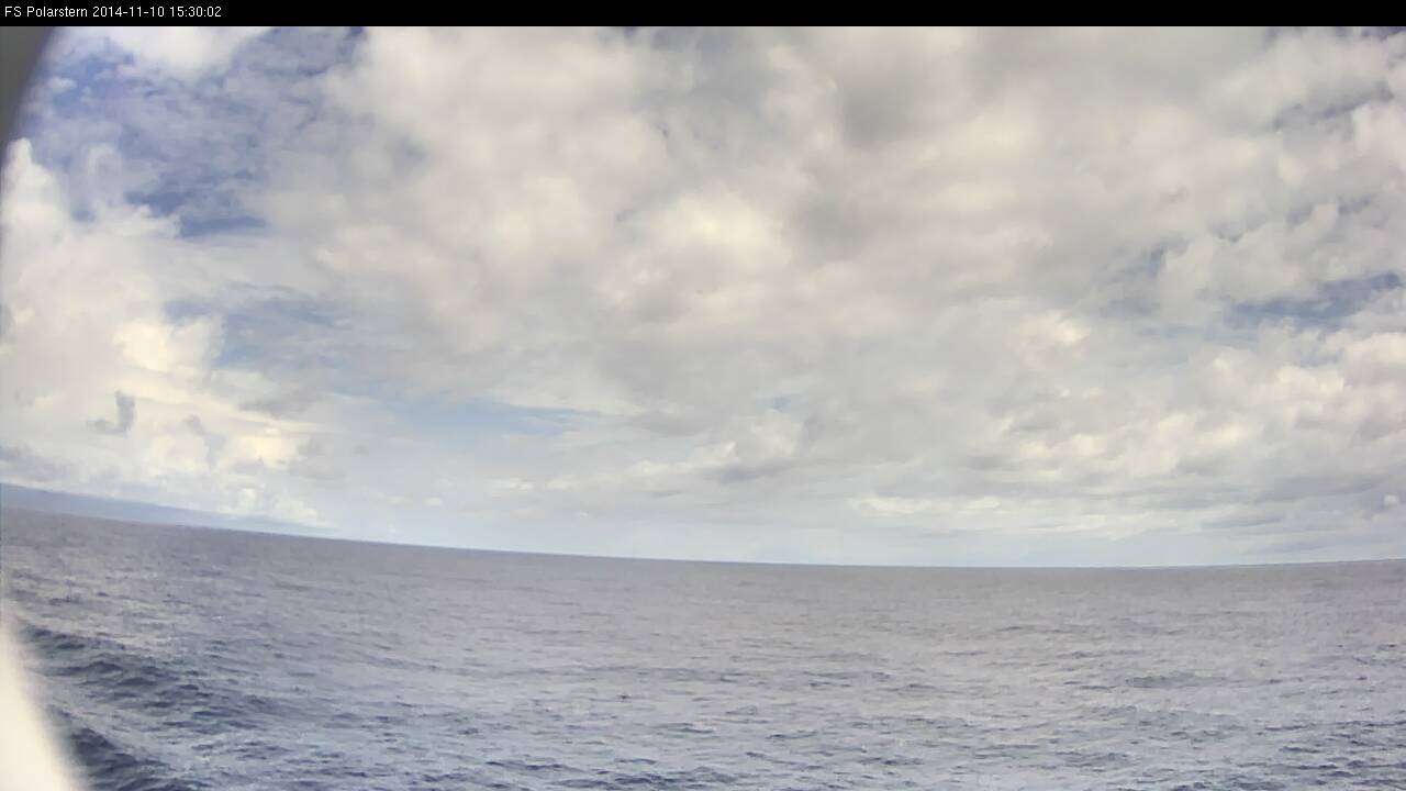
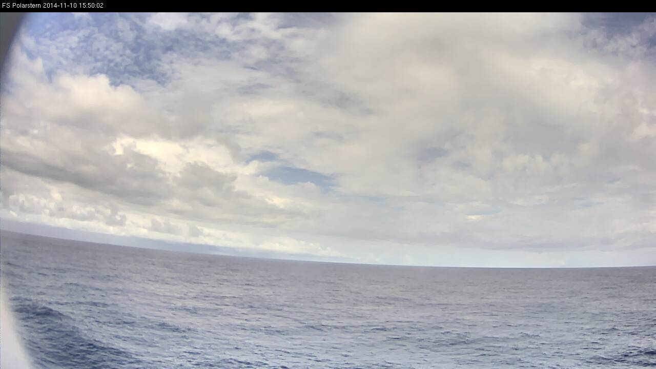
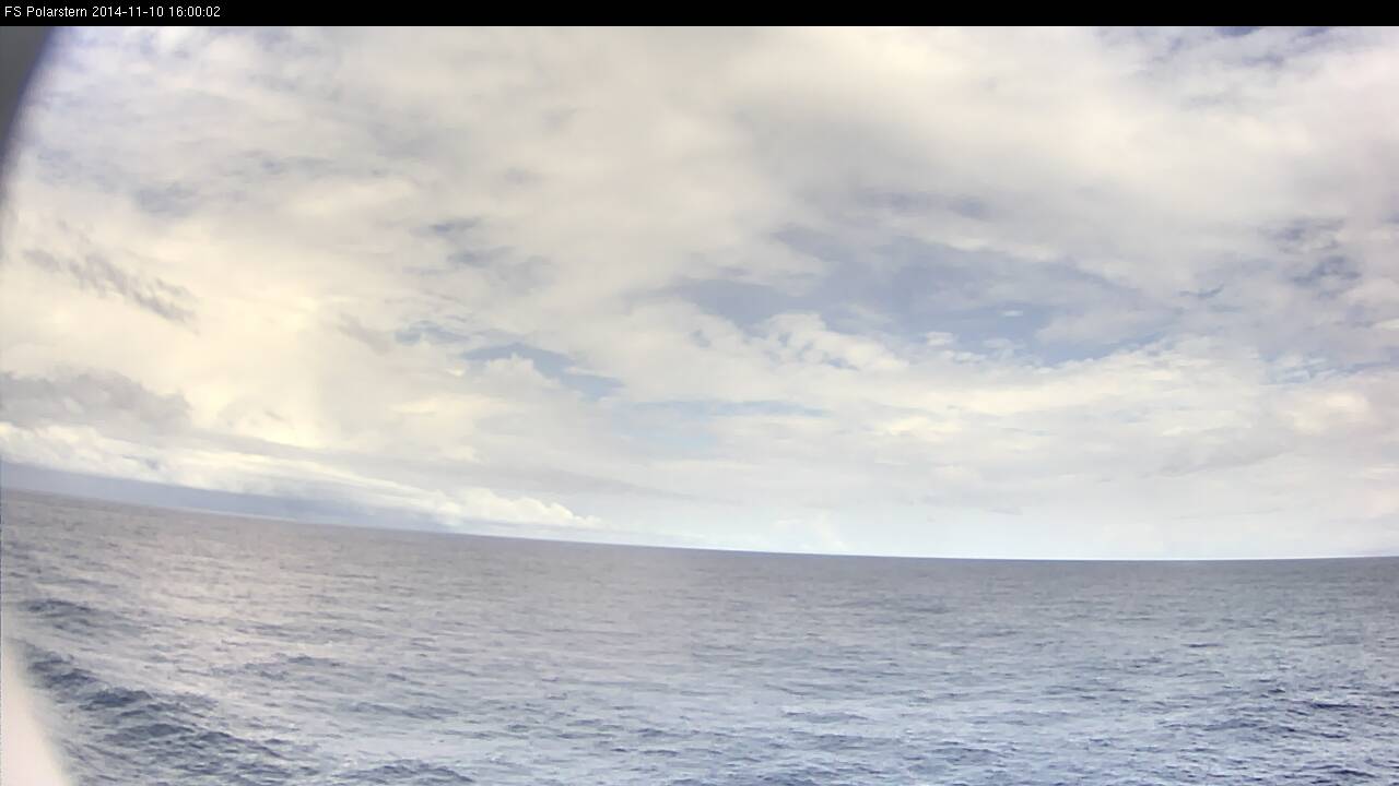
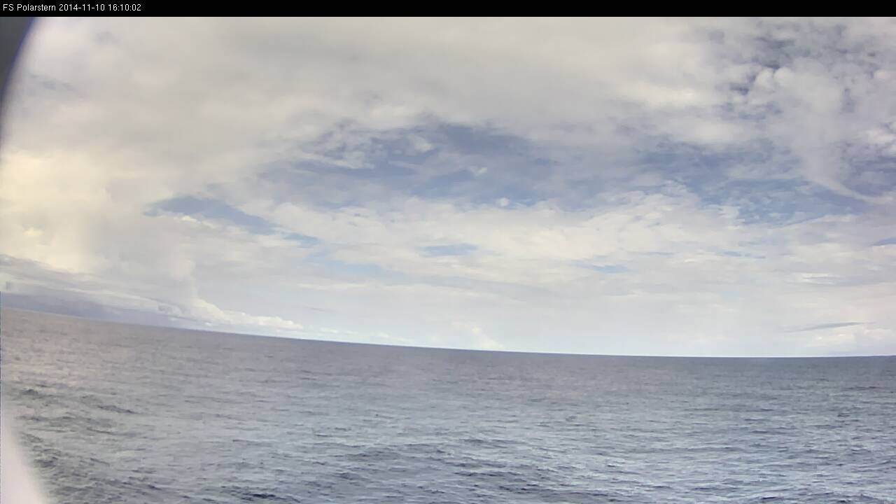
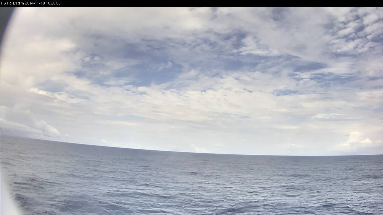
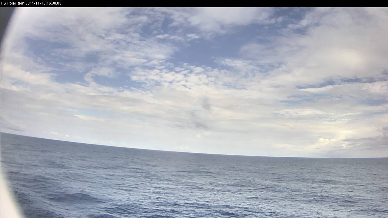
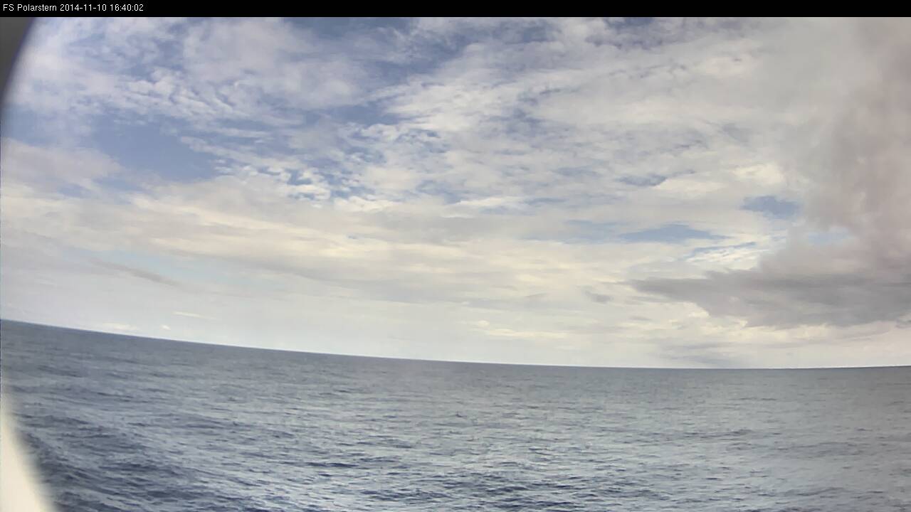
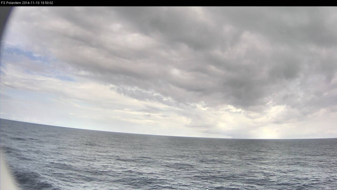
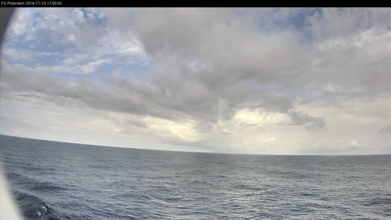
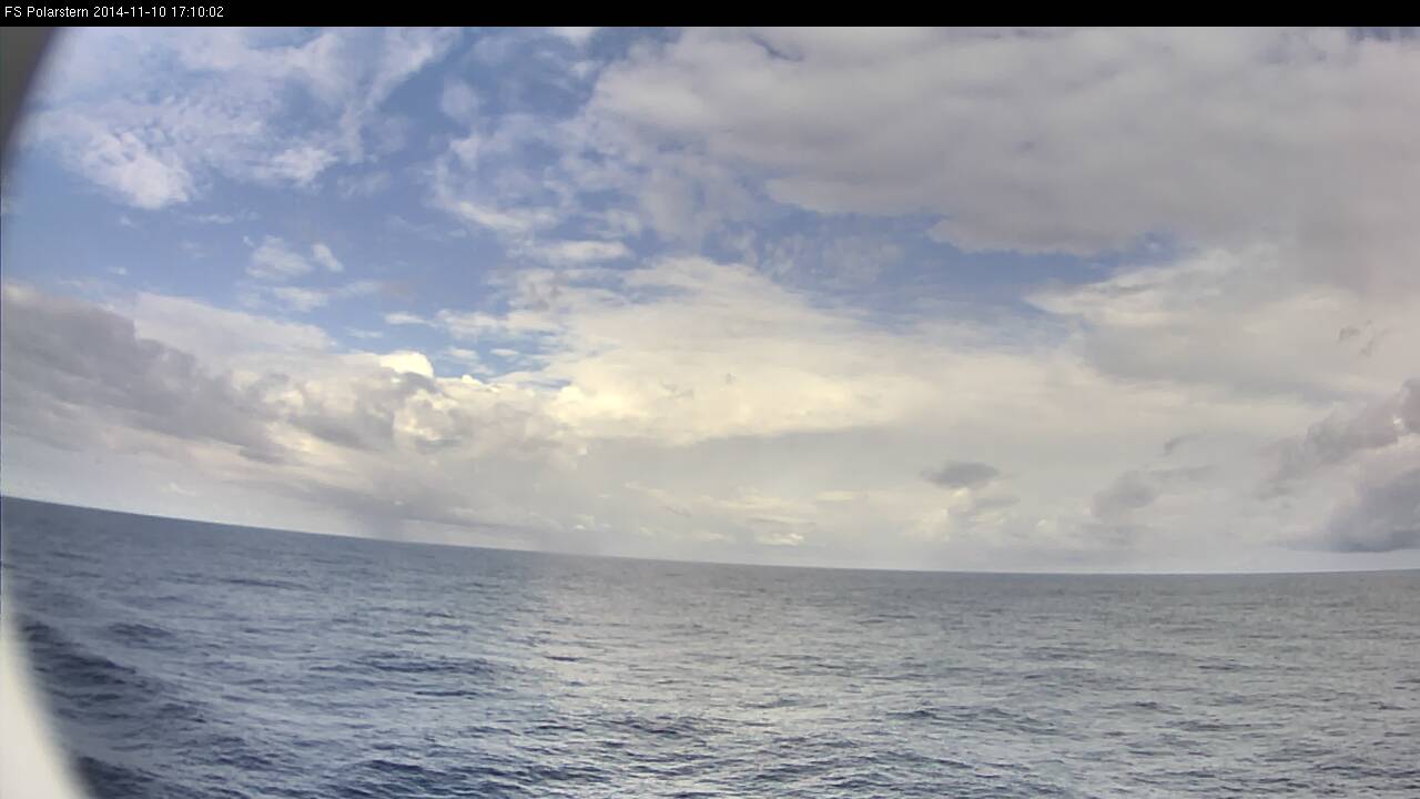
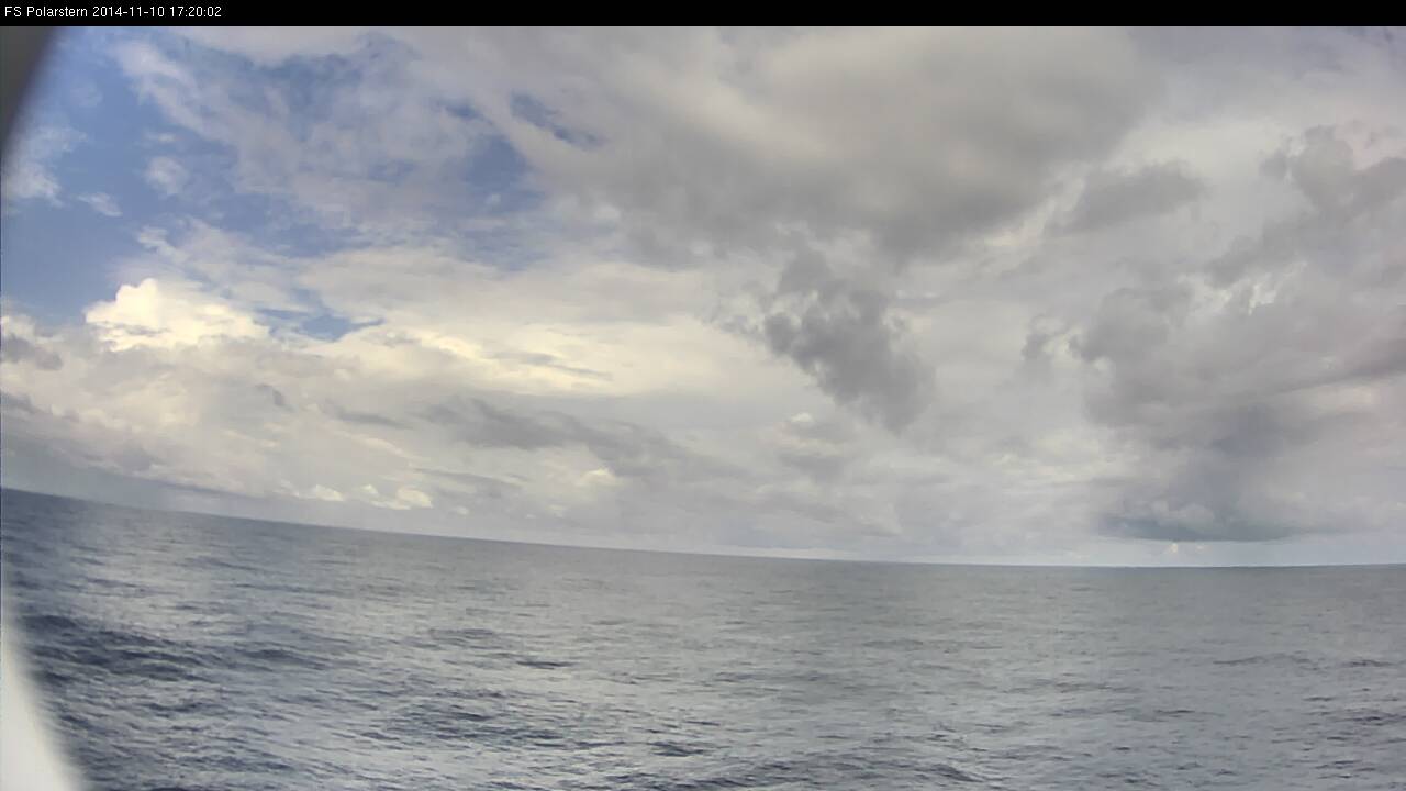
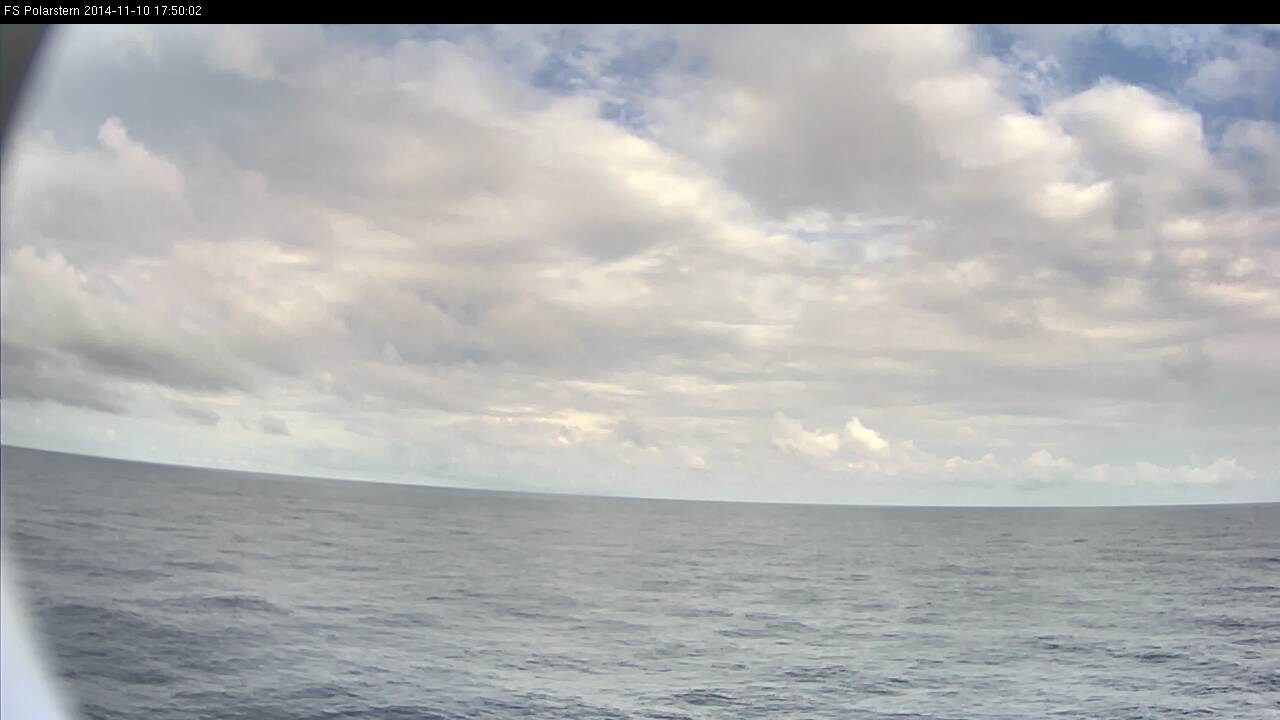
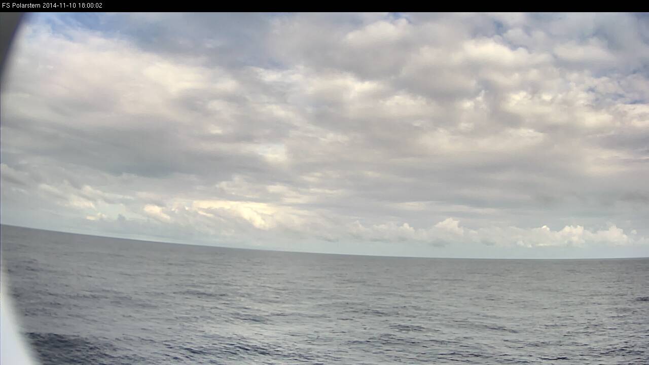
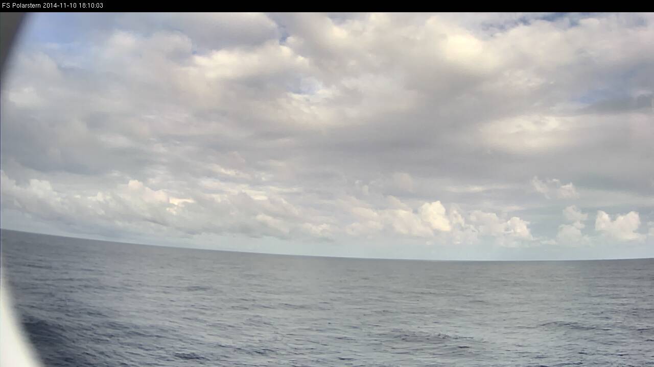
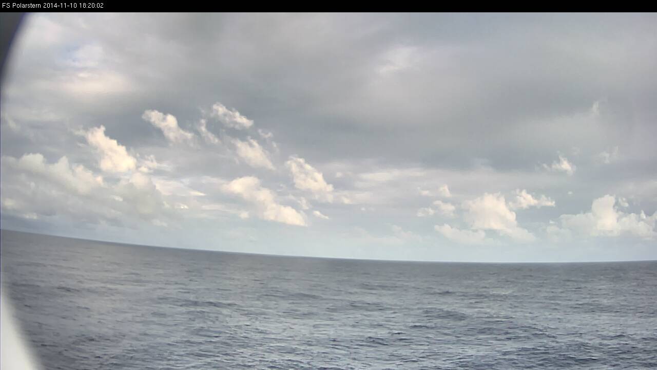
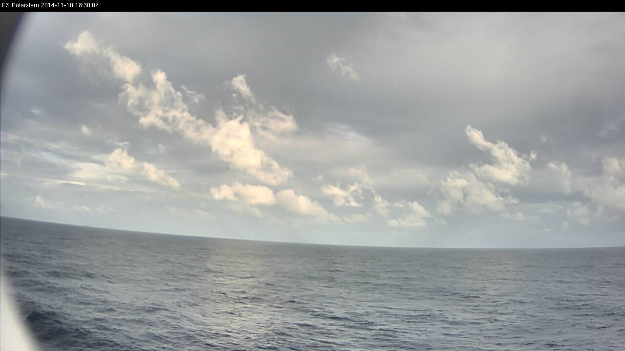
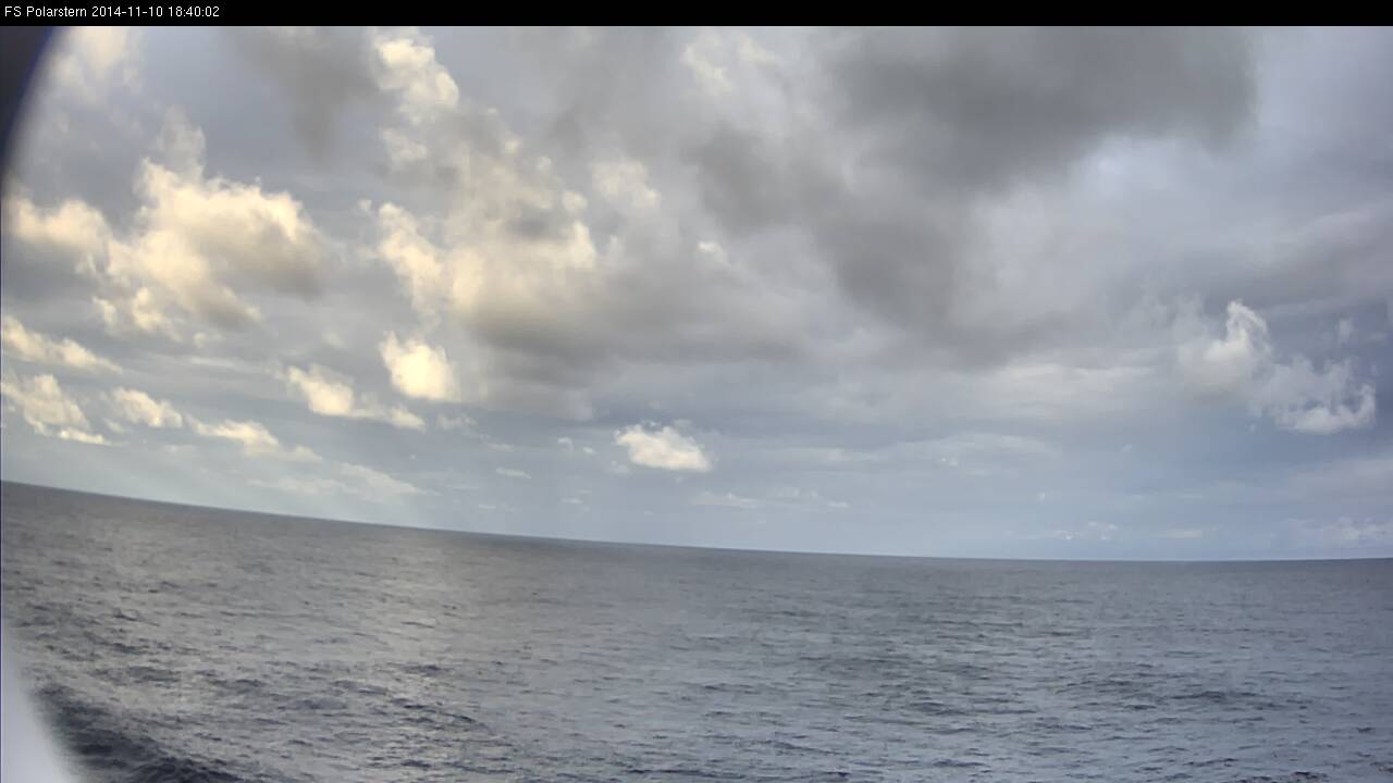
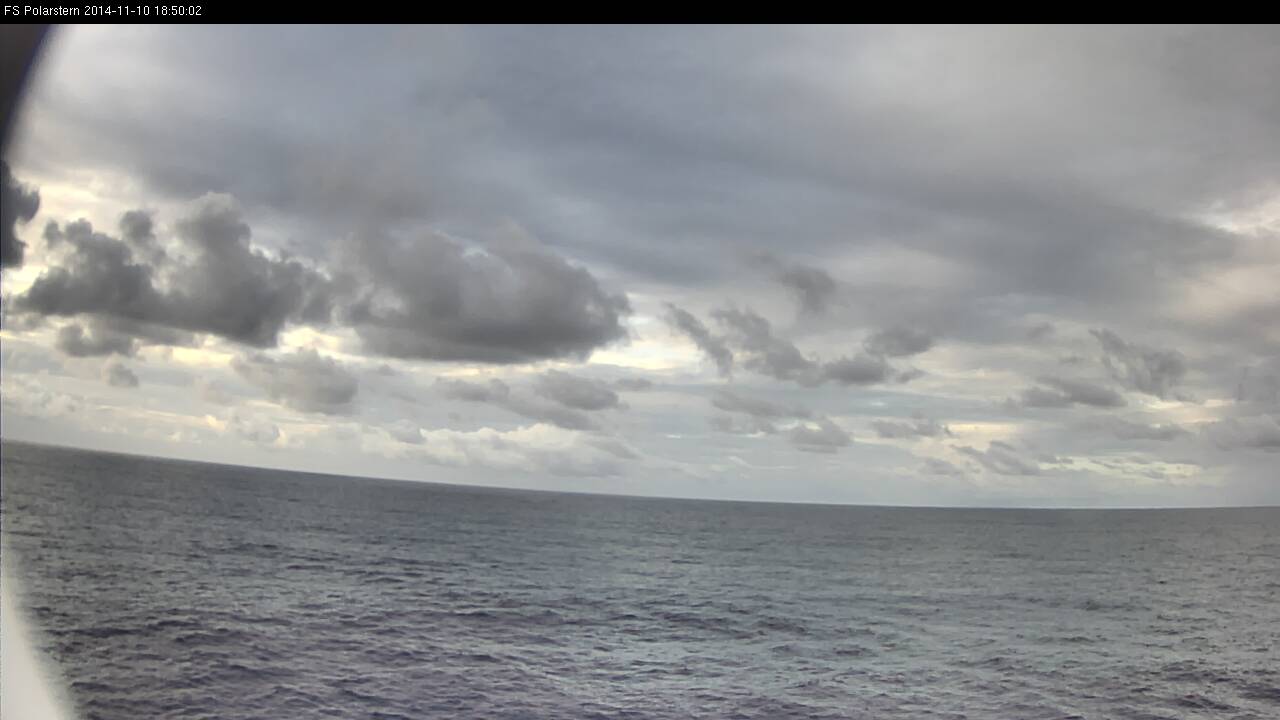
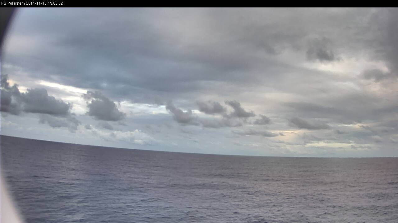
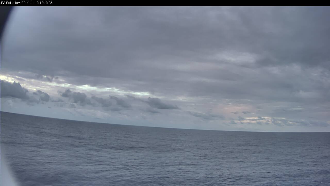
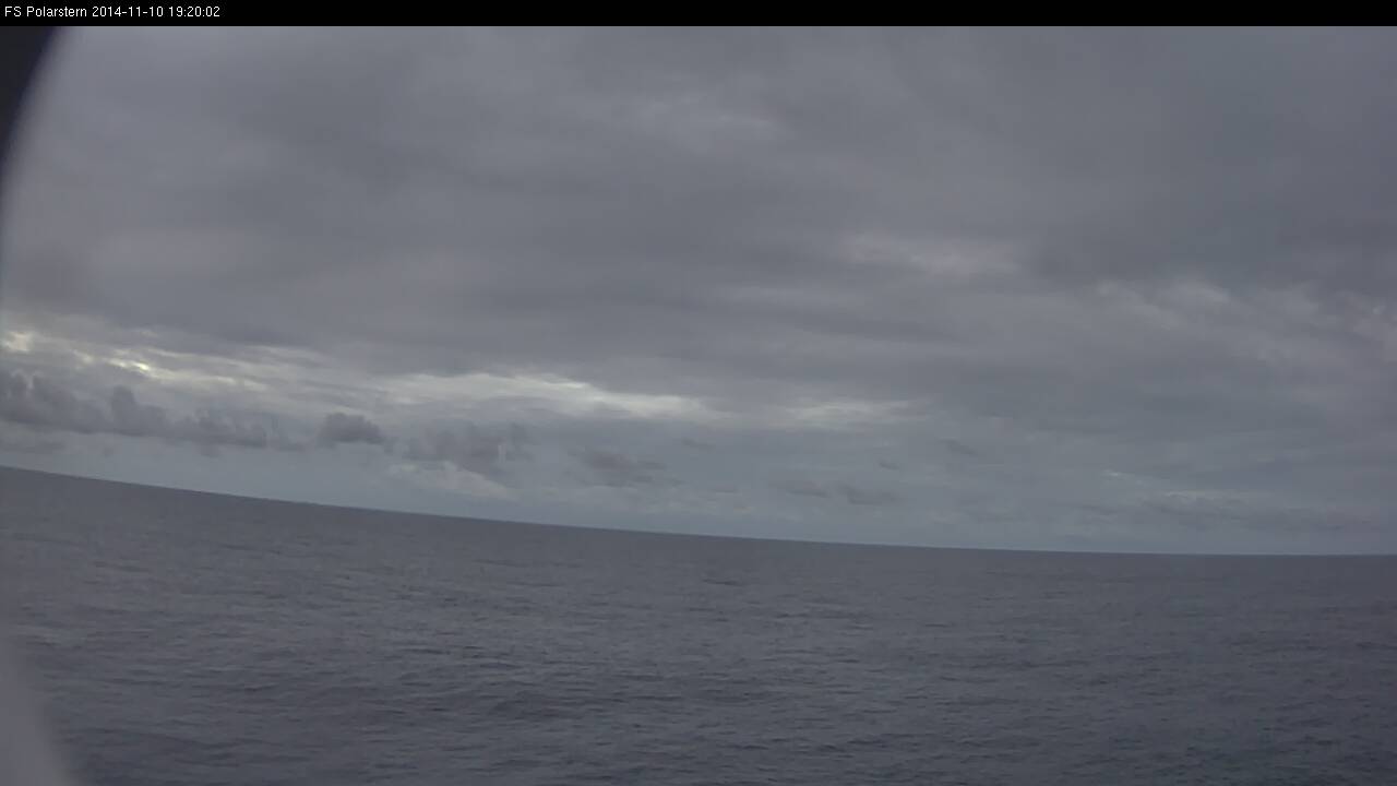
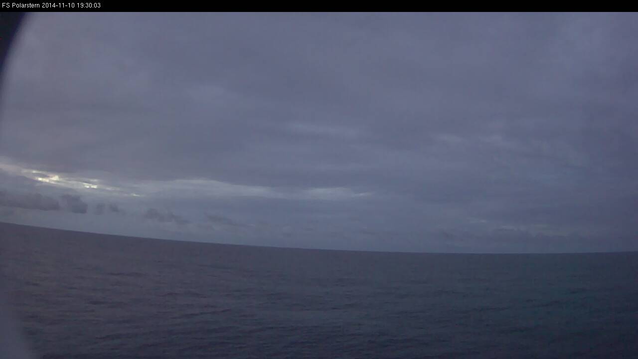
In this loop you will see all daytime webcam images taken every 10 minutes on 10 Nov 2014 between 07:00 UTC and 19:30 UTC.
Loop 5: Note - click on the loop to go through individual images