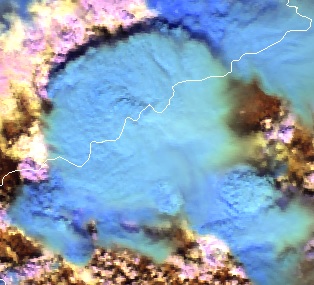
Extended guide to the Cloud Phase RGB
Cloud Phase RGB is a new product for European users of GEO satellite data, which can be constructed using data from the Flexible Combined Imager (FCI) on the Meteosat Third Generation (MTG) satellite system. The aim of this RGB is to provide improved microphysical information on cloud tops, in particular discrimination between thick water clouds and thick ice clouds, and cloud top particle size.
This extended guide is about the Cloud Phase RGB, a new product for European users of GEO satellite data, which can be constructed using data from the Flexible Combined Imager (FCI) on the Meteosat Third Generation (MTG) satellite system. It uses one of the new FCI channels, not available with the SEVIRI instrument. This document is an extended guide discussing its characteristics in detail; a quick guide is also available on the EUMeTrain webpage. In this guide, the imagers of Japanese and American geostationary satellites (Himawari/AHI and GOES/ABI) and polar satellites (NPP and NOAA-20/VIIRS) are used to provide proxy data for the FCI.

