Identify and interpret fields and derived products
Michael Folmer presents examples of relevant applications of Sentinel-3A data.
Length: 55 min
Author: Michael Folmer (NOAA)
The EUMETSAT-operated Copernicus Sentinel-3A satellite has been providing near-real time data to the marine community since mid-2016, and will be soon be joined in operations by its sister, Sentinel-3B. This presentation will give an overview of the available Sentinel-3 marine products, with a primary focus on data streams associated by the altimeter (SRAL) and sea surface temperature radiometer (SLSTR). Examples of the relevant applications will be presented, along with a discussion of how users can best access data and monitor its quality.
Ad Stoffelen focuses on scatterometer winds, how good they are and what aspects need attention.
Length: 60 min
Author: Ad Stoffelen (KNMI)
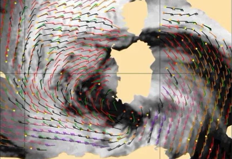
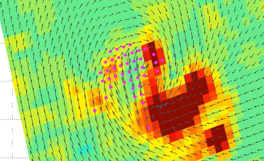
Winds over sea are essential for marine forecasting and used in nowcasting and numerical weather prediction (NWP) to aid in off-shore activities (energy sector, transport, fisheries and recreation), particularly to secure safety of life and property. Winds over sea are observed by satellites and available from NWP model forecasts. Most satellite winds over sea are provided by scatterometers; they provide swath fields of both wind speed and wind direction from polar satellites. Currently, winds from EUMETSAT’s MetOp-A, MetOpB and the Indian ScatSat-1 are operationally available and provide good coverage around 9:00 and 21:00 local solar time (LST). Very soon they will be complemented by a few more. The lecture focuses on what scatterometer winds really represent, how good they are and what aspects need attention when applying these winds in your routine operations alongside with NWP model winds.
Thomas August gives an introduction to EUMETSATs current (IASI) and future (IASI-NG and MTG-S) hyperspectral sounders.
Length: 46 minutes.
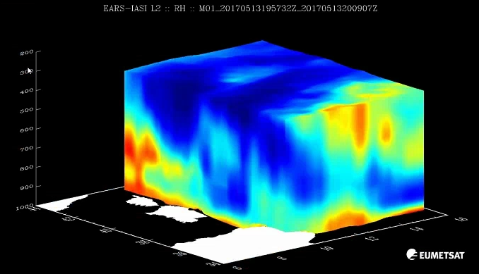
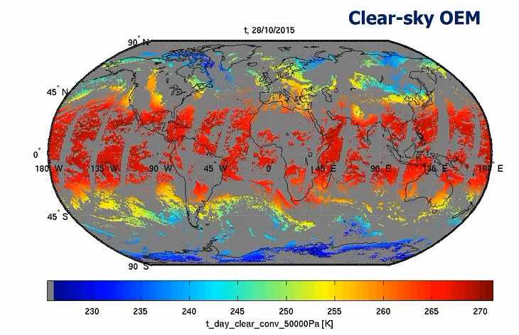
Assessing and monitoring atmospheric thermodynamic parameters is key for weather forecasting. Space-borne hyperspectral sounders provide vertically resolved information of atmospheric temperature and humidity, and of surface and cloud properties. The future geostationary infrared sounder IRS on board Meteosat Third Generation (MTG) will deliver operational atmospheric sounding at unprecedented temporal and spatial sampling, with 4-km pixels at Nadir and covering Europe every 30 minutes. It will hence be an important complement to satellite imagery (e.g. operational MSG/SEVIRI or the future MTG/FCI instruments), where long experience exist in support to nowcasting, by allowing the detection and monitoring of atmospheric instabilities before convective clouds develop.
In this presentation, we give an introduction to EUMETSAT current (IASI) and future (IASI-NG and MTG-IRS) hyperspectral sounders, the remote-sensing principles and geophysical information contained in the so-called Level 2 (L2) products. This includes temperature and humidity profiles, cloud and surface properties and indirect parameters relating to the atmospheric stability. We give an overview of recent application studies and experiments using IASI L2 products in support to weather forecasting.
Pieter Groenemeijer reports of the tests ESSL has undertaken to check the usability of ISAI L2 temperature and humidity profiles in storm forecasting.
Length: 44 minutes.
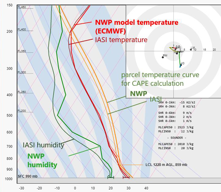
ESSL studied the use of retrieved temperature and humidity profiles available from the Infrared Atmospheric Sounding Interferometer (IASI) instrument on the polar-orbiting Metop satellites for storm forecasting during the 2019 Testbed and for a number of cases. Parameters relevant to convective storm prediction such as CAPE, CIN and humidity at various levels were computed and a direct visual comparison between the satellite-derived and NWP-modelled profiles was made possible. We present the main conclusions of this study, addressing the usability of the products, preferred derived parameters and observed limitations.
Thomas August provides an overview of the performances of the operational hyperspectral sounding products.
Length: 34 minutes.
In this presentation, we provide an overview of the performances of the operational hyperspectral sounding products. They have been evaluated against independent reference measurements in dedicated validation studies and are continuously assessed in the routine monitoring. We introduce also the quality indicators (uncertainty estimates) provided along with the atmospheric profiles to support quality control and data acceptance on user side, accordingly to their applications.
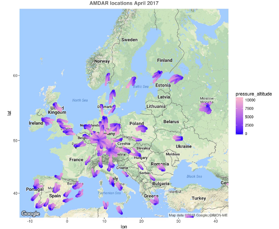
Jana Campa compares IASI L2 and AMDAR profiles and provides an estimation on usability of CAPE derived from IASI L2 profiles.
Length: 33 minutes.
The knowledge of the vertical structure of the atmosphere is extremely important for a reliable weather forecast, especially in the case of severe convection. The arrival of the new infrared sounder with the MTG will open many new possibilities in assessing the atmospheric instability. However, satellite retrievals lack accuracy towards the lower levels, which are crucial fort the calculation of several stability indices.
In the first part of the talk, a comparison of stability indices calculated from IASI L2 and AMDAR aircraft profiles will be presented. The probability of detection can be relatively high with adapted thresholds, but unfortunately also false alarm ratios are relatively high. In the second part, the uncertainty of CAPE resulting from errors in the retrieved profiles will be estimated.
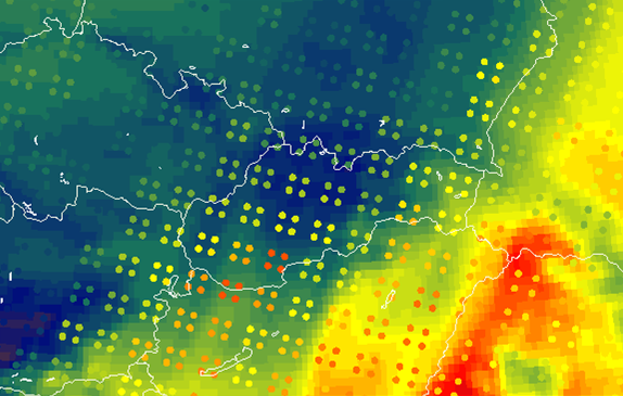
Zsofia Kocsis presents an investigation of blended IASI and Synop measurements in a convective environment.
Length: 44 minutes.
Using IASI L2 profiles, different instability indices (e.g. Lifted Index, CAPE) and water vapour content in different layers can be determined, which provides information on the convective environment. These indices were studied in several convective cases which led us to try to merge the IASI profiles and Synop measurements. In this presentation we present the reasons why we choose to combine these different measurements and we also present some of our experiences with the blended IASI product.
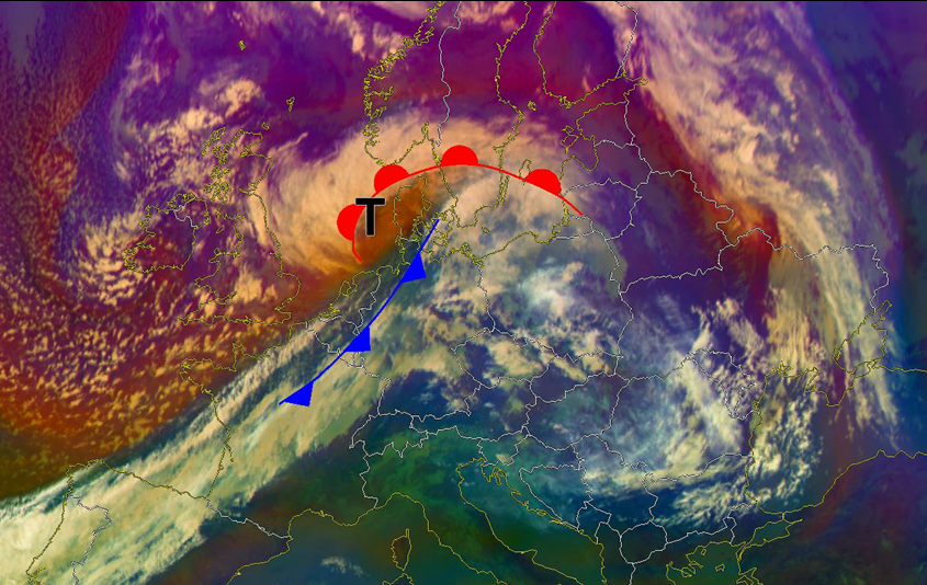
Christian Herold presents case studies in order to give an answer if IASI profiles help predicting sting jets.
Length: 37 minutes.
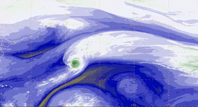
Strong winds southwest of the centre of a Shapiro-Keyser-Cyclone are often associated with a cold conveyor jet or a sting jet. The sting jet is a strong mesoscale flow with a very high damage potential. It is a huge challenge for NWP and forecasters to predict correctly a sting jet. The question is: Can IASI profiles help us for a better prediction of such mesoscale severe wind events connected with sting jets? Therefore, some case studies will be presented.
Presentation 8 in the Warnings Event Week 2017
Length: 31 min
Author: Daniel Murer (MeteoSwiss)
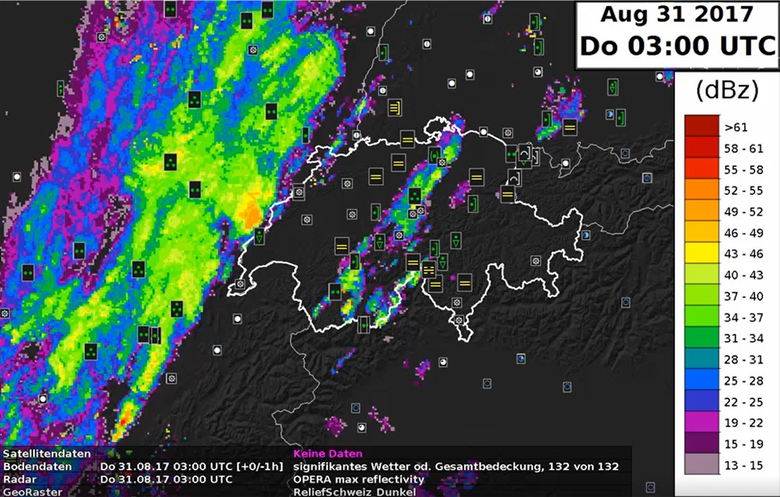
Severe weather warnings at MeteoSwiss started more than thirty years ago, firstly with warnings for heavy precipitation. After the storm 'Lothar' in 2001 warnings for wind, rain and snow have been introduced and then the system was updated in 2009 with new software, NinJo. After this short introduction, Daniel Murer from MeteoSwiss will present us a case that will illustrate the process of issuing warnings and decision making in the Swiss Met Service.
Presentation 3 in the Marine Forecasting Course 2017
Length: 112 min
Author: Rasmus Tonboe (DMI)
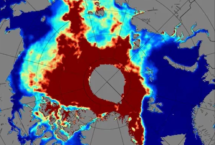
Sea ice has always posed a threat to ships sailing through the northern Atlantic and also the ice was a clear indication of climate changes since the start of satellite observations in the 1970s. Satellites from their beginning have helped very much in tracking the condition and movements of ice sheets over North Pole and Antarctica. Sea ice condition, its melting and freezing over again in winter are important to track to see how they are affecting the weather and climate in these parts. Many satellite products and models were developed to distinguish thin one year ice from the thicker multiyear ice and to determine the actual thickness of these sheets. Further questions like how does ice affect radiation, how does snow affect the ice and what is the quality of the models that are used, will be answered during this lecture.
Presentation 2 in the Marine Forecasting Course 2017
Length: 117 min
Author: Ad Stoffelen
The lecture deals with modelled winds and winds derived from instruments onboard satellites like Metop-A and Metop-B in low orbits around the Earth (polar orbits). Today's models are evolving at a rate that is faster than the increase of density of observations and that presents a problem for forecasts. Here stands the question 'Will meteorology continue to develop and improve?'. The lack of observed data is thus filled with the data from satellites, although this data also has its own constraints due to the way it is derived. In the lecture the characteristics of the satellites carrying instruments for measuring winds and waves will be explained and the logic behind the calculations of winds using satellites will be discussed.
Scatterometer data are used for many different purposes in marine meteorology, e.g. warnings, enhancement of situational awareness for winds, monitoring of storm evolution, low pressure systems, etc., therefore marine forecasters using the products about wind and waves from satellites will be instructed how to use them and when to combine the data with model outputs.
Presentation 1 in the Marine Forecasting Course 2017
Length: 59 min
Author: Jean Bidlot (ECMWF)
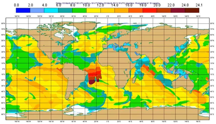
Starting from the basics, this lecture introduces the students to wave model products (e.g. wave height and mean propagation direction), wave spectrum analysis, long swell forecasts, extreme forecast index etc. Since these outputs (alongside data from the buoys) are the basic material marine forecasters have for forecasting and nowcasting waves in seas and especially in oceans, explaining the positive and negative sides of model outputs is very important for understanding and thus correctly using the products marine forecasters use.

