
Volcanic Ash
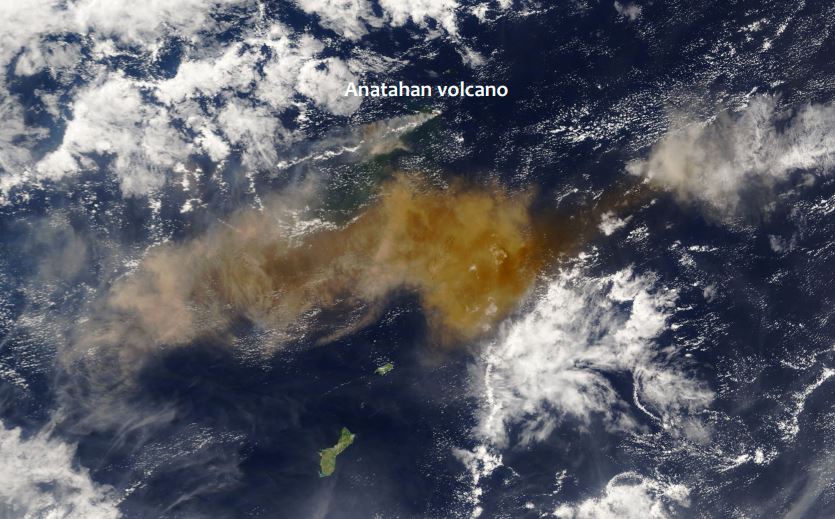
Fred Prata presents a series of volcanic eruption and analyses them from the satellite perspective.
Length: 65 min
Author: Fred Prata (AIRES Pty Ltd)
Since the late 1970's earth-orbiting satellites have been able to observe the weather around the globe and provide quantitative information on cloud movements. These data have proved extremely valuable for tracking volcanic ash clouds and more recently allowing quantitative information on volcanic ash column amounts and also on SO2 gas - another potential hazard to aviation. Notable incidents between commercial aviation and ash clouds, several in Indonesia and Alaska, have occurred during the satellite era (~1960's onwards). The talk will cover methods used to identify, quantify and monitor volcanic ash clouds and frame this in the context of the potential hazard.