
Patrick Eriksson (FMI): Operational Monitoring of the Baltic Sea Ice and the Various EO-data Used
Patrick Eriksson speaks about monitoring sea ice in the very heavily trafficked Baltic Sea
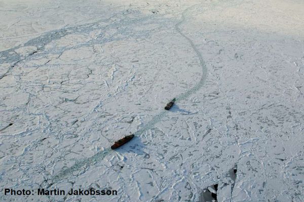
The Baltic Sea, a relatively small semi-closed basin with brackish water, is one of the most heavily trafficked sea areas in the world. Thousands of vessels visit ice-infested ports every winter, which requires well organized icebreaking. To support this winter navigation operation, the Ice Service at FMI conducts monitoring and forecasting of the sea ice throughout the winter. An essential source of information is obviously satellite data. Imagery from several satellite platforms is not only processed to serve ice charting and reporting, but is also delivered in near-real-time straight to the bridges of the icebreakers. The dark and cloudy Nordic winter has proven the Synthetic Aperture Radar instruments (SAR) to be the most suitable when analysing the development of the sea ice. Different passive instruments are also used, light and cloudiness permitting. All satellite platforms bring their various strengths and limitations on the ice analyst’s desktop, causing constantly changing challenges to the charting of sea-ice features. So far, the analysis has been predominantly manual work, but the ever-increasing data volumes are setting a demand for AI-based automatic interpretation.