
Juuso Paajanen (FMI): Challenges in the Nordic airports, replacing satellite observations with other observations and models
Competency Framework
Application
Description
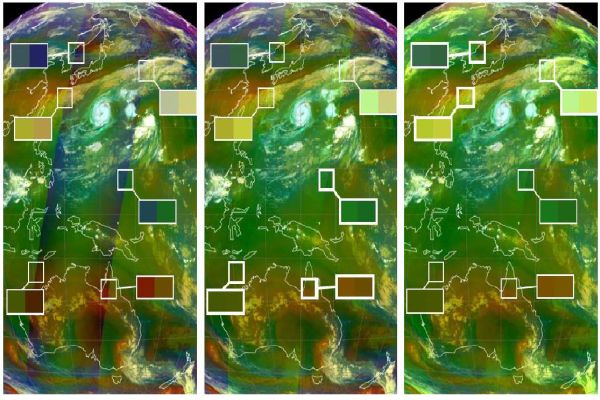
Juuso Paajanen presents the difficulties of using geostationary satellite data in high latitudes.
Content
Parallax shift, Limb cooling, Low sun elevation angle are some of the issues associated with mainly geostationary satellites in the high-latitudes. Some satellite images are shown to demonstrate these issues. Some solutions are suggested here for countering these problems.
This presentation talks about Example of the tools we are using in our operational work.