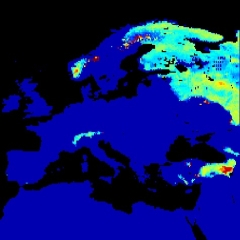
Impact Studies and Snow-Hydro validation Part I
Aynur Sensoy Soman discusses a blending approach to use SE-E-SEVIRI(H10) data together with Sentinel-2 and MODIS into a real-time, operational cryosphere modelling chain.
Increasing satellite technology offers new products for hydrological applications. The validation process is crucial for these products before they are used in operational applications. The validation of satellite data sets can be done through the direct comparison with ground truth data or a reference satellite data. Another, indirect approach consists in using these datasets in models with different complexities and assess the realism of modelled outputs (so called “Hydro Validation”). EUMETSAT H SAF project provides daily snow products on snow recognition, fractionalsnow cover, snow status and snow water equivalent over complex topographies changing from flat land to mountainous areas.
In this this first part, we will discuss a blending approach to use SE-E-SEVIRI(H10) data together with Sentinel 2 and MODIS into a real-time, operational cryosphere modelling chain (S3M-Italy). We will compare open-loop simulations with simulations obtained assimilating H10 data to discuss the added value of this product for real time forecasting.

