
An approach to Forecasting Land Slides and Droughts using Satellite and NWP data
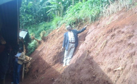
Joseph Kagenyi talks about forecasting land slides in Africa.
Length: 46 minutes.
The monitoring of weather characteristics over the equatorial and tropical regions is well covered with both polar and geostationary satellites hence the satellite becomes a very important instrument on severe weather monitoring and forecasting. The application of multispectral data of MSG in the monitoring the microphysics of clouds such as deep convective clouds with RGB composites provides in-depth understanding in the identification of regions where extremely active storms are located. The use of Multi sensor Precipitation estimate (MPE) also helps in the estimation total of accumulated rainfall on each region during the storm period. Such areas can easily be monitored and the possibility of excess rainfall within a day can be evaluated and such information is used to issue a warning for evacuation, or for support to the potential victims on these areas.
In short RGB composites, MPE Estimates, and the accumulated rainfall on daily basis becomes effective tools of landslide forecasting. We also add the NWP products particularly the High resolution (7 km) COSMOS data and NCEP CPC data as it gives a forecast with indications of possibly of heavy storms. However with satellite data you are able to ascertain which areas would the forecast show excess impact on the ground. The NWP products are used to help in creating accumulated rainfall values (estimates) necessary in establishing the threshold values for remote areas where station gauge data is not available.