Introduction to the H-SAF project
Silvia Puca introduces the H-SAF and its products.
Length: 23 minutes.
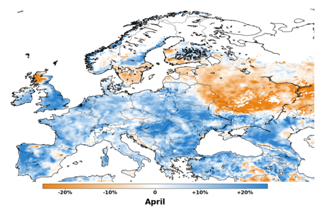
H SAF started in 2005 and aims to provide remote sensing estimates of relevant hydrological parameters: instantaneous rain rate and cumulated rainfall, soil moisture at surface and in the root zone, snow cover and water equivalent. The project involves experts from 12 national meteorological and hydrological European Institutes of Austria, Belgium, Bulgaria, Finland, France, Germany, Hungary, Italy, Poland, Romania, Slovakia and Turkey, and from ECMWF.
The H SAF main objectives are: to provide new satellite-derived products (precipitation, snow parameters and soil moisture) from existing and future satellites with sufficient time and space resolution to satisfy the needs of operational hydrology, and to perform independent validation in order to assess the usefulness of the new products for fighting against floods, landslides, avalanches, and evaluating water resources.

