
red-orange
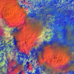
High-level, thick ice clouds with large particles on the cloud top appear red-orange in the MetOp AVHRR Day Microphysics RGB images.
The examples below show mature convective storms with large ice particles on the top. The thick storm cores appear red-orange.
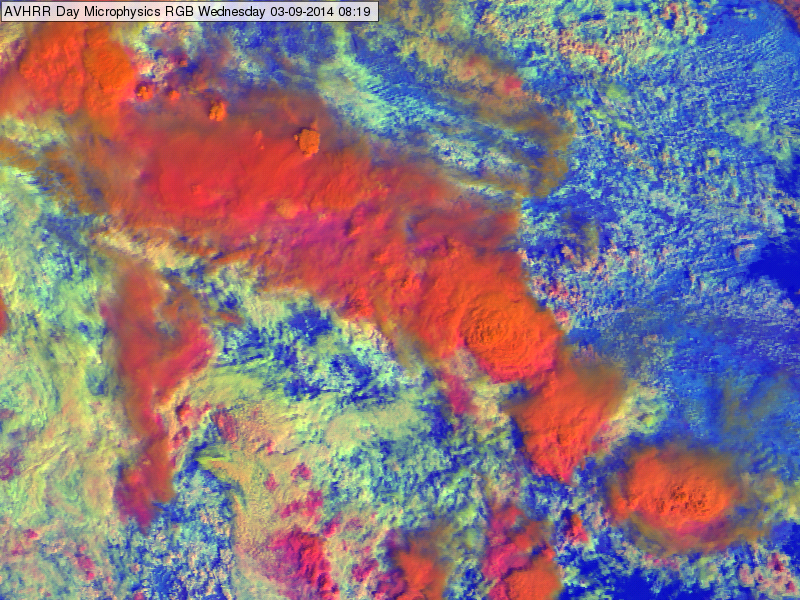
METOP AVHRR Day Microphysics RGB image of Romania and Bulgaria region for 03 September 2014 at 08:19 UTC
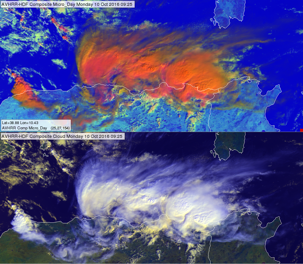
METOP AVHRR Day Microphysics RGB image (up) and AVHRR Cloud RGB image (bottom) at the Algerian coast of the Mediterranean Sea for 10 October 2016 at 09:25 UTC
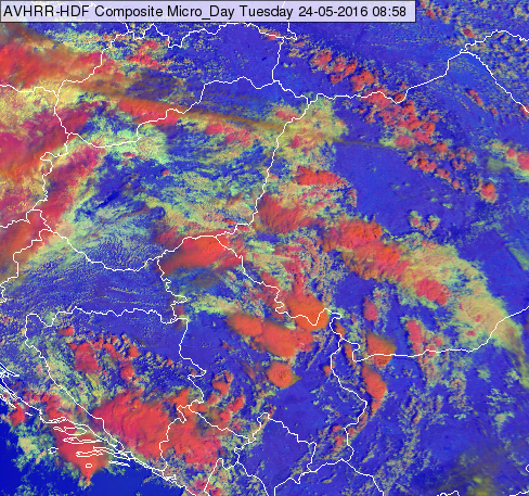
METOP AVHRR Day Microphysics RGB image of southern Central European and northern Balkan region for 24 May 2016 at 08:58 UTC
Note that:
• In case the ice cloud top is warmer (like developing or dissipating storms) the blue component becomes stronger, while the colour turns into magenta.
• In case the cloud top particles are small the colour turns into orange (in extreme case greenish).
• Towards the edge of the swath the red-orange colour may turns to orange.
Explanation of the colours of high-level, thick ice clouds with large particles on the top (see the recipe):
• VIS0.63 reflectivity is high for thick ice clouds
• The large ice crystals absorb strongly the 1.6 radiation and so they do not reflect much. The NIR1.6 reflectivity values of these clouds are less than medium in the 0-70% range.
• The IR10.8 brightness temperature is low for high-level clouds.
As the red component is high, the green component is (slightly less than) medium and the blue component is low, so the high-level, thick ice clouds with large particles on the top appear red-orange.
High-level, thick ice clouds with large particles on the cloud top appear red-orange in the MetOp AVHRR Day Microphysics RGB images.
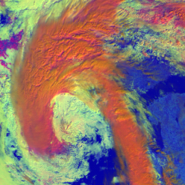
The examples below show frontal cloudiness. Frontal clouds consist of many different cloud types, usually also high-level, tick ice clouds with large particles on the top.
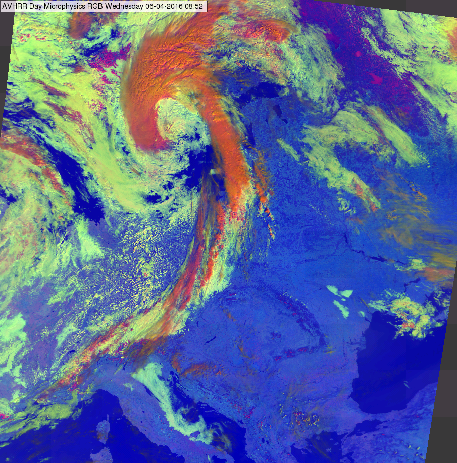
METOP AVHRR Day Microphysics RGB image for 06 April 2016 at 08:52 UTC
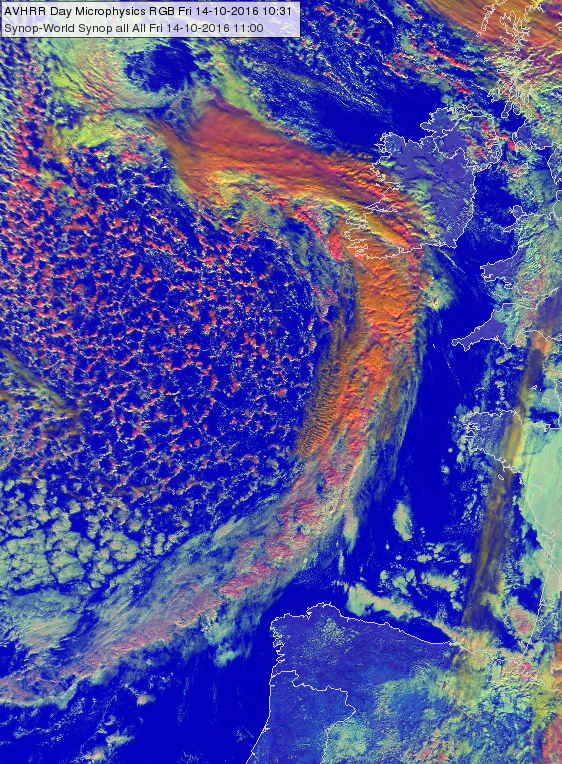
METOP AVHRR Day Microphysics RGB image for 14 October 2016 at 10:31 UTC
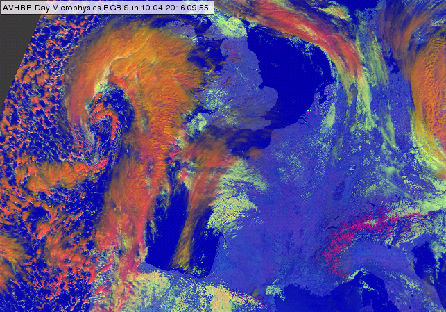
METOP-A AVHRR Day Microphysics RGB image at the coast of France and UK for 10 April 2016 at 09:55 UTC
Note that:
• In case the ice cloud top is warmer (mid-level ice-clouds) the blue component becomes stronger, while the colour turns into magenta.
• In case the cloud top particles are small the colour turns into orange (in extreme case greenish).
• Towards the edge of the swath the red-orange colour may turns to orange.
Explanation of the colours of high-level, thick ice clouds with large particles on the top (see the recipe):
• VIS0.63 reflectivity is high for thick ice clouds
• The large ice crystals absorb strongly the 1.6 radiation and so they do not reflect much. The NIR1.6 reflectivity values of these clouds are less than medium in the 0-70% range.
• The IR10.8 brightness temperature is low for high-level clouds.
As the red component is high, the green component is (slightly less than) medium and the blue component is low, so the high-level, thick ice clouds with large particles on the top appear red-orange.
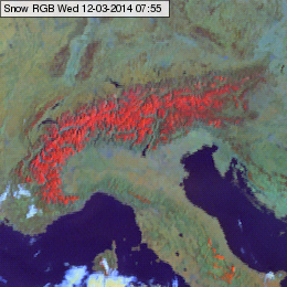
Snow appears red-orange in the Snow RGB images.
The image below shows snow covered mainland north of the Black Sea and snow covered mountains south of the Black Sea. (The Sea of Azov is covered by ice).
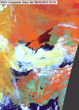
Meteosat, SEVIRI Snow RGB for 02 February 2010 10:10 UTC
The image below shows Central Europe. Fog/low clouds formed several areas over the snow covered surface. The valley fog/stratus clouds are nicely seen in the Alps due to the good colour contrast between the red-orange snow and the white water clouds.
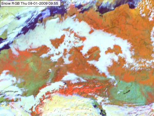
Meteosat, SEVIRI Snow RGB for 08 January 2009, 09:55 UTC
Note that the snow cover on the high mountains often depicts brighter colour than on the mainland or the hills, as the snow cover is less disrupted by vegetation.
Explanation of the colours for snow covered land (see the recipe):
• The reflectivity of snow is high in the 0.8, low in the 1.6 and very low in the 3.9 micrometer channels.
• After the linear stretching and image gamma correction the red signal is strong (still the highest one), the green signal is medium strong, while the blue signal is below medium. This signal composition results red-orange colours.