
Satellite Derived Ocean Surface
Joseph Sienkiewicz provides an overview of the measuring principles of scatterometers on polar orbiters. The presentation concludes on practical examples showing also attenuation effect by rain droplets.
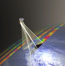
Ocean surface vector winds derived from polar satellite based scatterometers (radars) allow marine forecasters to view high resolution wind fields over the global ocean. Operational forecasters first access to near real time ocean vector winds began in the early 1990s with the launch of ERS-1 and followed by ERS-2, NASA's NSCAT and QuikSCAT. Of these instruments QuikSCAT, during its ten year life span, provided a wide swath capability allowing forecasters to see entire storms in a single swath. Today, ASCAT on Metop-A, OSCAT on Indian Space Research Organisation (ISRO) OceanSat-2 satellite and in the near future ASCAT-B on Metop-B will continue to provide global coverage. Scatterometer winds provide forecasters a high resolution "sea" truth, give an enhanced situational awareness, the ability to assess the validity of numerical model initial conditions and short term forecasts, and the location and intensity of warning criteria winds. This talk will discuss the above issues by giving examples and also discuss how to interpret remotely sensed ocean winds.