
Overview of Microwave Products
NOAA satellite analyst Sheldon Kusselson shows the variety of water vapour products available from polar platforms. A practical example concludes his presentation.
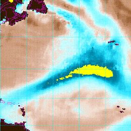
Since 1992 operational NOAA satellite analysts and forecasters have used polar orbiting microwave products to complement and supplement geostationary satellite, observational and computer model data to further improve precipitation forecasts. My session will provide an overview of current SSMIS and NOAA/MetOp MHS and AMSU polar orbiting microwave products, like Total Precipitable Water (TPW) and Rain Rate (RR) and how they can be used to help enhance precipitation forecasts with an emphasis on the eastern North Atlantic Ocean into the European continent. From these different individual satellite sensors microwave TPW and RR products have come a new class of satellite product called “the blended or merged product” that will also be discussed, displayed and compared with EUMETSAT geostationary satellite imagery. A case study showing these blended/merged TPW and RR products for the February 2010 Madeira storm will also be shown.