03.00 - 06.00 UTC - Comma Diagnosis - Key parameters on isobaric surfaces
In addition to the diagnosis of the Comma cloud structure from satellite images just described, some of the key parameters on isobaric surfaces also support such a diagnosis.
|
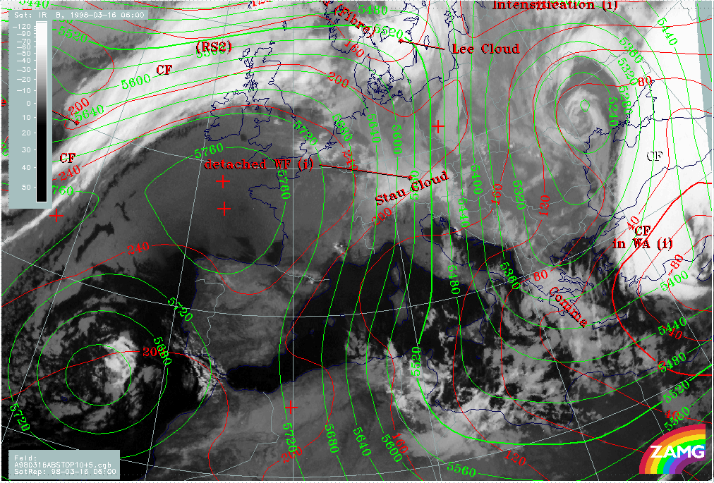
16 March 1998/06.00 UTC - Meteosat IR image; red: height contours 1000 hPa, green: height contours 500 hPa, SatRep overlay: names of
conceptual models
|
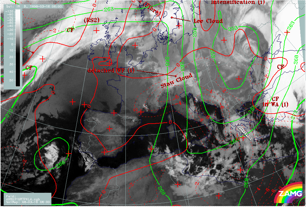
16 March 1998/06.00 UTC - Meteosat IR image; blue: thermal front parameter (TFP) 500/850 hPa, green: equivalent thickness 500/850 hPa,
red: temperature advection - CA 1000 hPa, SatRep overlay: names of conceptual models
|
|
|
|
|
|
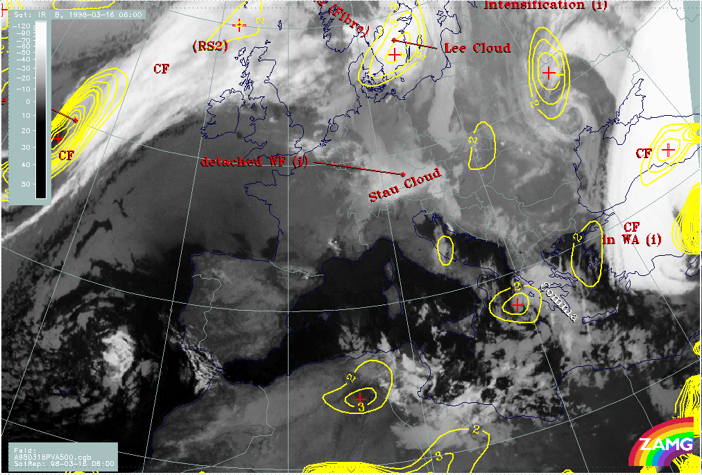
16 March 1998/06.00 UTC - Meteosat IR image; yellow: positive vorticity advection (PVA) 500 hPa, SatRep overlay: names of conceptual
models
|
|
The surface and upper level trough (left image top) is a quite typical configuration for a Comma. Such a feature has already been observed six hours before but the surface trough has intensified now (compare 15/21.00 - 16/00.00 UTC - Key parameters on isobaric surfaces). The cloud feature is under CA (right image top) and (although not in ideal agreement) there is a distinct PVA maximum (left image bottom) close to the Comma head, which is another key parameter supporting the diagnosis of this conceptual model.