Snow on mountains
In the Day Microphysics RGB images the snow covered area appears magenta. The reflectivity of snow is high in the 0.87 micron channel, resulting in a high signal in the red colour beam. The 1.6 micron radiation is absorbed by snow crystals. Hence the reflectivity of snow is low in the 1.6 micron channel, resulting in a low signal in the green colour beam. The temperature of snow cover is close or below 0 ºC causing a medium (or a little weaker) signal in the blue colour beam. As a result the snow will be magenta in the Day Microphysics RGB images (intense red, weak green, medium blue). The actual shade of the colour depends on the temperature (colder snow is more ‘bluish’). The snow cover on the high mountains depicts usually brighter magenta colour, than on the mainland or on the hills, as the snow cover is less disrupted by vegetation on the mountains. See the recipe.
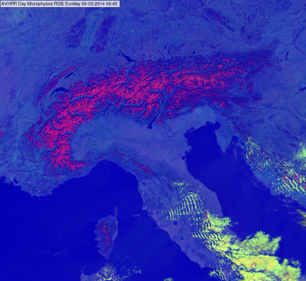
The image below shows the snow covered Alps on 09 March 2014 at 09:45 UTC. Some peaks and ridges in the Apennines, in Corsica and Dinaric Alps are also covered by snow.

MetOp AVHRR Day Microphysics RGB image, 09 March 2014 09:45 UTC
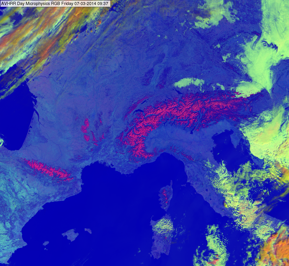
The following image shows the snow covered Alps, Pyrenees and Massif Central on 07 March 2014 at 09:37 UTC.

MetOp AVHRR Day Microphysics RGB image, 07 March 2014 09:37 UTC

