Semitransparent clouds
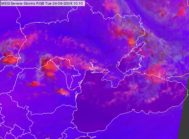
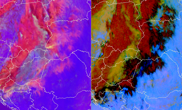
Semitransparent ice clouds are typically pink in the Severe Storms RGB images.
The images below show semitransparent ice clouds over the Black Sea and Ukraine and ahead of a front over Serbia, Romania, Ukraine and Belarus.

Meteosat, SEVIRI Severe Storms RGB image for 24 June 2008 10:10 UTC

Meteosat, SEVIRI Severe Storms RGB image (left) and Dust RGB (right) for 23 June 2015 12:25 UTC
Although the semitransparent ice clouds are usually pink in the Severe Storms RGB images, there are some exceptions.
• The colour of the very thin cirrus clouds maybe different as it approximates to the colour of the underlying surface or clouds.
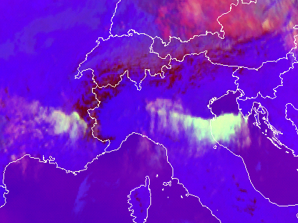
• Semitransparent ice clouds consisting of small ice crystals, like high level lee clouds (see the image below) can appear in other colours (e. g. yellowish, greyish, whitish) because of the increased green component.

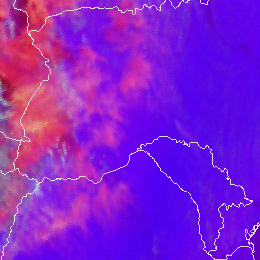
Meteosat, SEVIRI Severe Storms RGB images for 16 March 2014 09:40 UTC
Explanation of the colours of the semitransparent clouds (see the recipe):
In case of semitransparent clouds the satellite measures mixed radiation consisting of the radiation emitted or reflected by the semitransparent cloud itself and of the radiation originated from below and transmitted through it. That is why the colour of a semitransparent cloud depends not only on the ice crystal size and temperature but also on the transparency and the colour of the underlying surface.
• The colour of the almost thick semitransparent cloud approximates the colour of the thick ice clouds (red, yellow).
• The colour of the very thin cirrus clouds approximates the colour of the underlying clouds or surface (blue, violet, gray, red or yellow).
• The colour of the thin cirrus is between the colour of the thick ice cloud and that of the underlying cloud or surface. It is usually pink. In case the cirrus cloud consists of very small particles, or the very thin cirrus is over mid layer water cloud then its colour may become closer to grey.

