
Low water clouds
Low water clouds depict in pastel green colours in the Day Microphysics RGB images.
Low level water clouds in the Day Microphysics RGB depict in pastel green colours, i.e. they include a high amount of white. All 3 colour beams contribute with approximately the same intensity. Depending on cloud microphysical processes, the green colour beam dominates more or less over the other colours.
Small water droplets reflect much of the short wave solar radiation at 0.8 and at 3.9 micrometer. Hence the red and the green colour is of some importance. The blue colour beam depends on the amount of measured IR10.8 radiation and intensifies with increasing temperatures
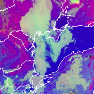
Very low and warm water clouds can be seen over the Atlantic (see image below). They turn into a whitish green, because they mainly consist of small water droplets which have a high reflectivity at 3.9 micrometer. The green colour beam gains importance over the other involved colours. On top of some low level clouds, a red veil can be seen. These are the frozen parts of the clouds.
Day Microphysics RGB from 5 February 2016, 12:00 UTC
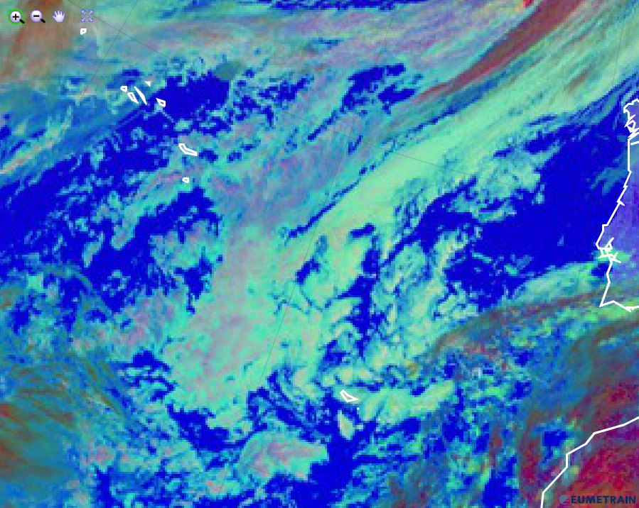
When getting colder, the blue colour beam contributes less and the other colour beams are of equal intensities (see image below).
Day Microphysics RGB from 5 February 2016, 12:00 UTC
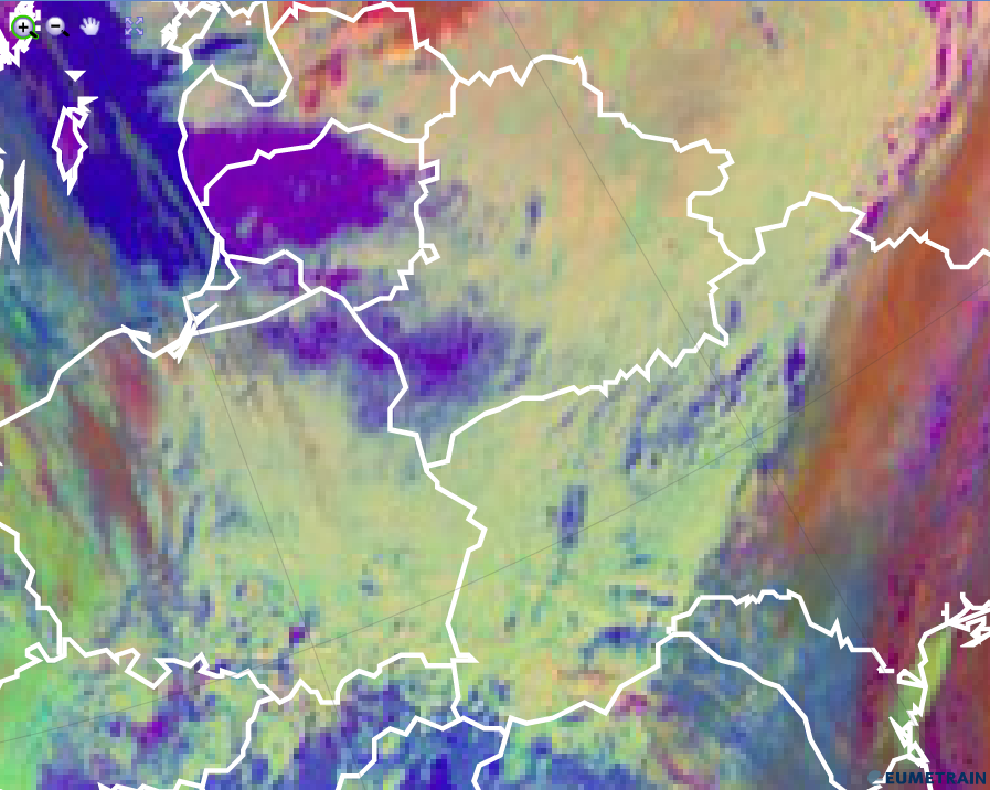
The Day Microphysics RGB is perfectly suited to distinguish snow (red) on the ground from low level water clouds (whitish green).
Day Microphysics RGB from 5 February 2016, 12:00 UTC
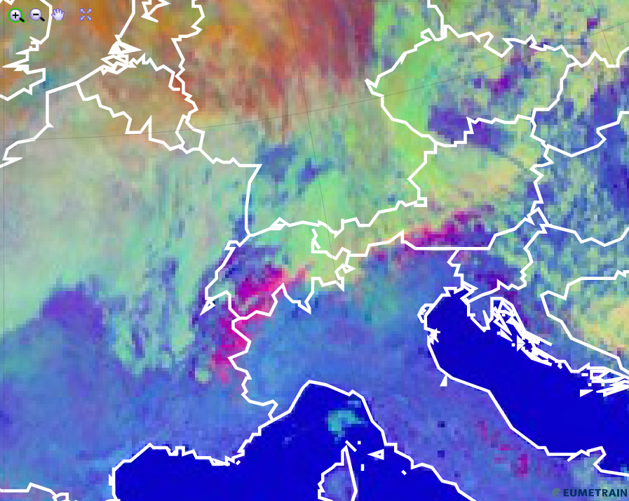
Explanation of the pastel green colour of low water clouds in the Day Microphysics RGB (see the recipe):
All 3 colour beams contribute with about the same intensity in case of low level water clouds. Nevertheless, the green colour dominates when these clouds are composed of very small water droplets.