

This resource was created in order for users to be able to access Weather Briefings page via resources search.
Meteorological Satellite Data Training
Explore a collection of product tutorials, case studies, simulators, training modules & courses
on the use satellite data for meteorological
applications & more.
Latest News
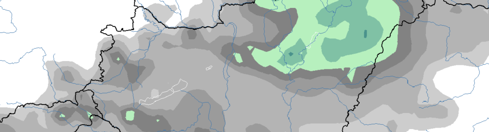
Winter simulator over Hungary
A new simulator is now available! Winter weather simulator over Hungary can now be accessed here.

New case study is available: Flash and urban flooding in Rijeka, Croatia
A new case study that is accompanying the severe precipitation event simulator is now available here.
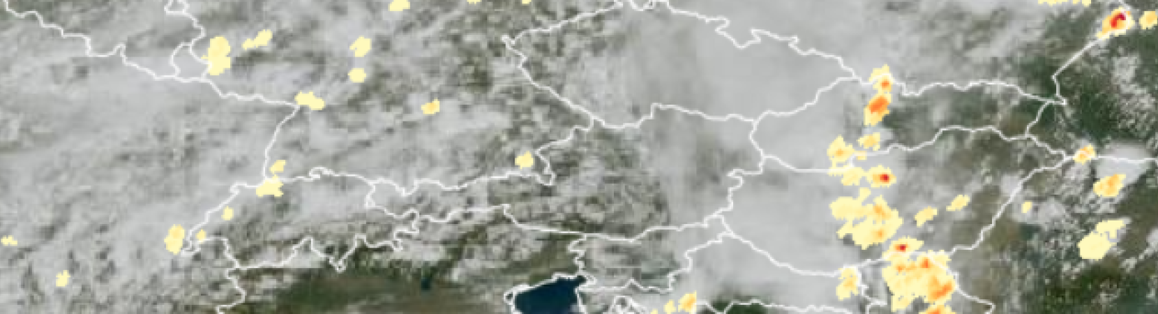
A new Simulator on Forecasting convective development is now available!
Simulator on forecasting convective development over Hungary is now available here.
How to create or adapt an RGB scheme
Manuscript on "How to create or adapt an RGB scheme" is the latest addition to our resource library and is now available here.

Extended Guide to Cloud Type RGB
A new extended guide on Cloud Type RGB is now available here.
Latest Publications

This resource was created in order for users to be able to access the simulators page via resource search.
Categories:
Simulators
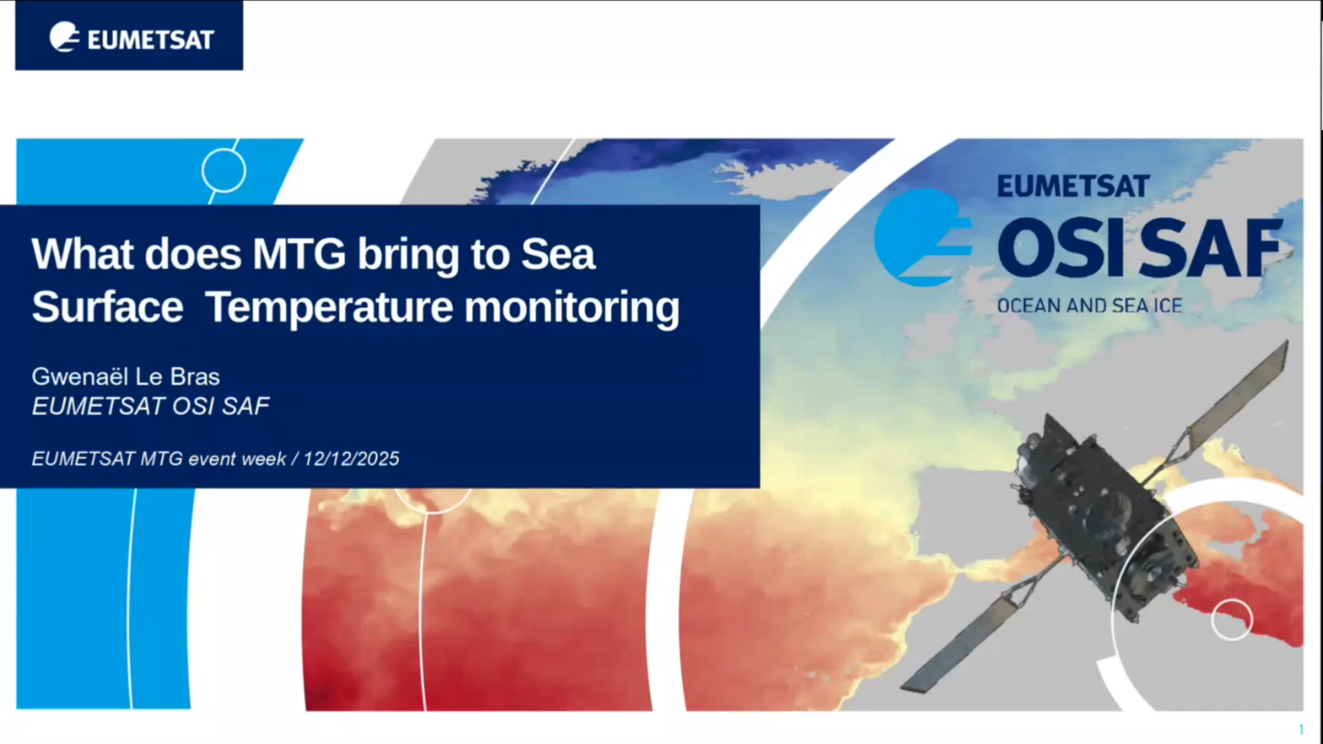
Gwenaël LE BRAS shows what MTG means in context of SST monitoring.
Categories:
Webcast
Hayley Evers King shows how to interpret ocean colour and talks about different information we can obtain from satellite derived measurements.
Categories:
Webcast