
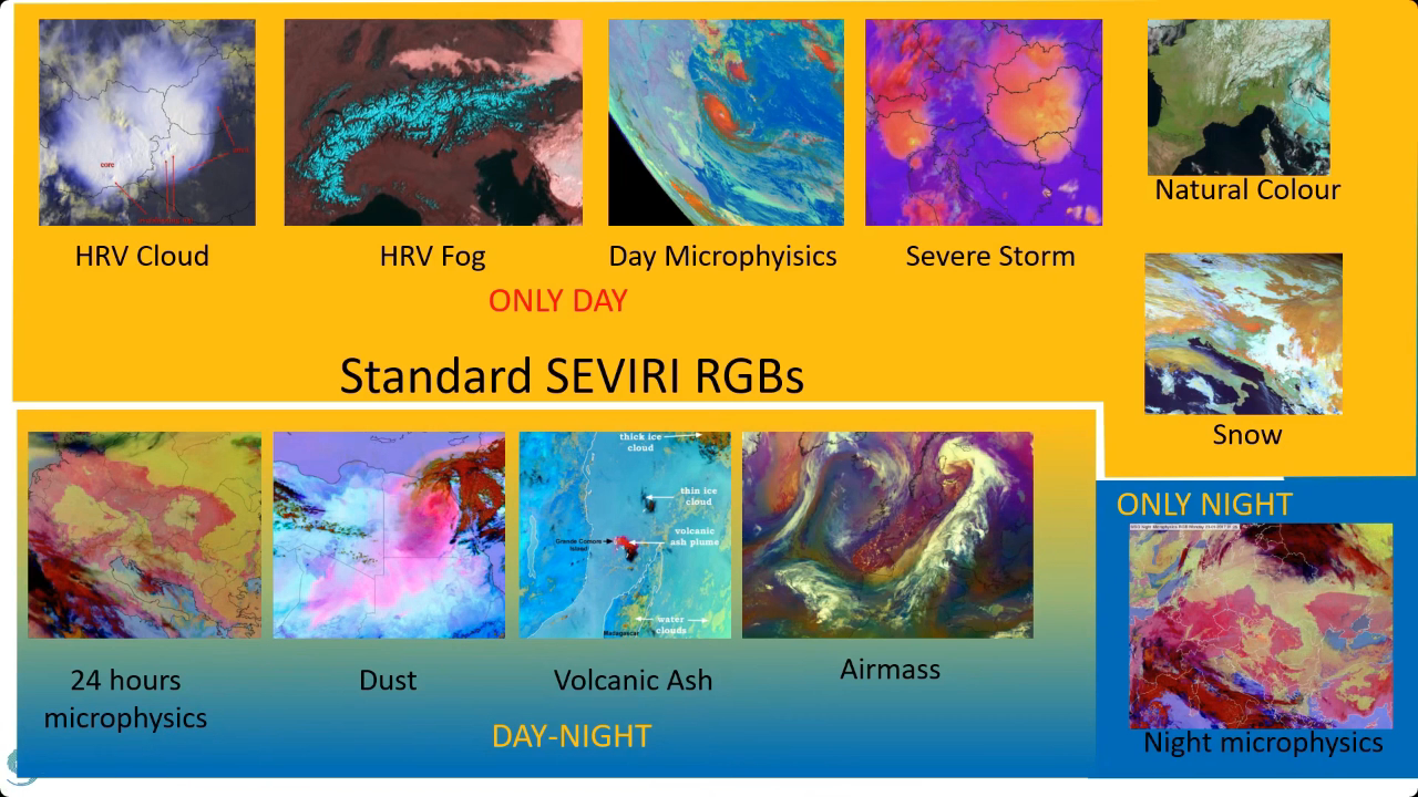
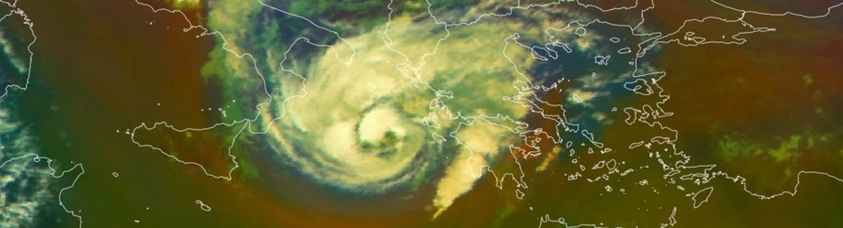
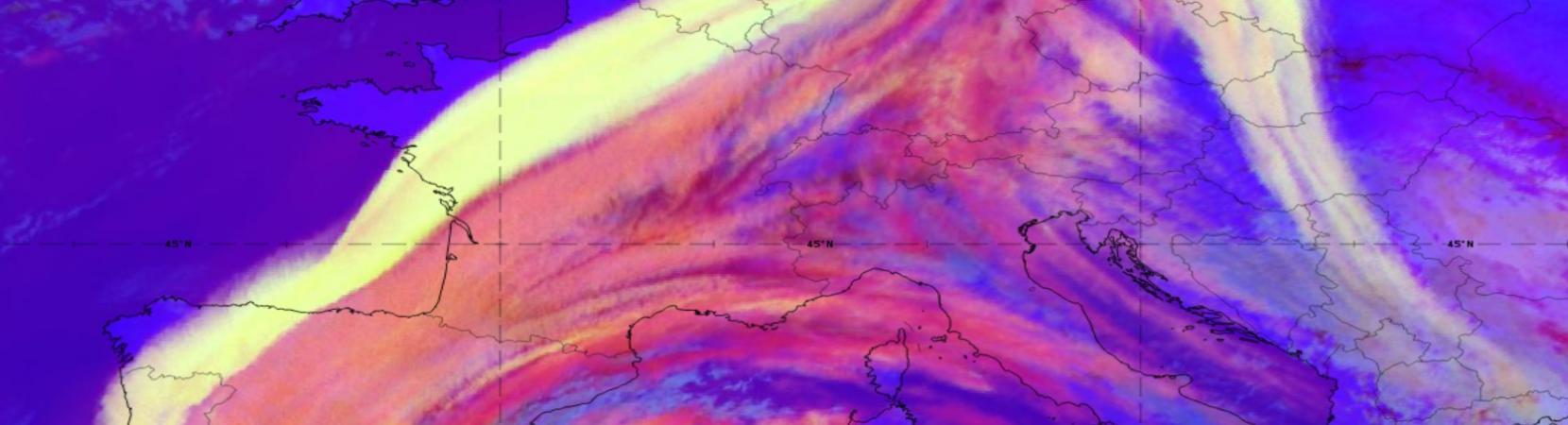
Zsofia Kocsis goes over the priniciples of RGB imagery, reasons for its use and guidelines for their creation.
Meteorological Satellite Data Training
Explore a collection of product tutorials, case studies, simulators, training modules & courses
on the use satellite data for meteorological
applications & more.
Welcome to EUMeTrain
Latest News

EUMeTrain Marine Course - 2025
We are pleased to announce the 6th Marine Satellite Course organized by EUMeTrain in cooperation with EUMETSAT and Eumetcal, scheduled between 31th March and 4th April 2025.
To check out the full announcement, click here.
DIBS: A special kind of Cirrus clouds formed by dust
A new conceptual model for SatManu: DIBS: A special kind of Cirrus clouds formed by dust is now available here.
IASI Case Study
The latest Case Study on the pre-convective environment of 19th May 2021 using IASI sounder data is now available here.

Air Quality Training Module
The new Air Quality Training Module is now available here.
Latest Publications
Vinko Šoljan talks about forecasting and nowcasting of deep moist convection, satellite products used, NWP outputs and more.
Categories:
Webcast
Andreas Wirth goes over the topic of Dust Infused Baroclinic Storms (DIBS) and explains the current forecast model inconsistencies regarding DIBS as well as their impact on weather.
Categories:
Webcast
Georg Pistotnik covers the topic of drylines, shows it's relevance in severe weather development.
Categories:
Webcast
No front page content has been created yet.
Follow the User Guide to start building your site.
Follow the User Guide to start building your site.