02 - 03 August 1997 - Overview Of Satellite Imagery For 03 August 00.00 UTC
|
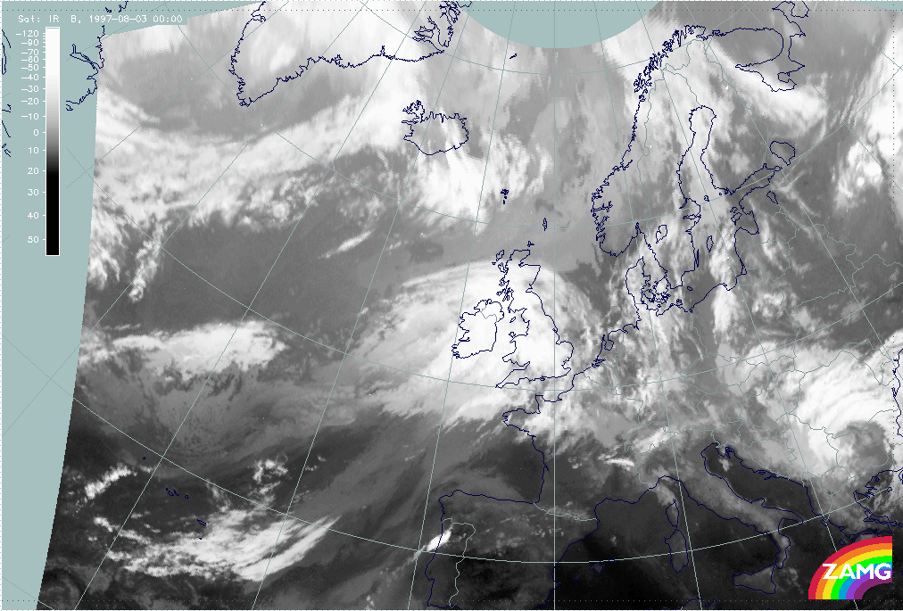
03 August 1997/00.00 UTC - Meteosat IR image
|
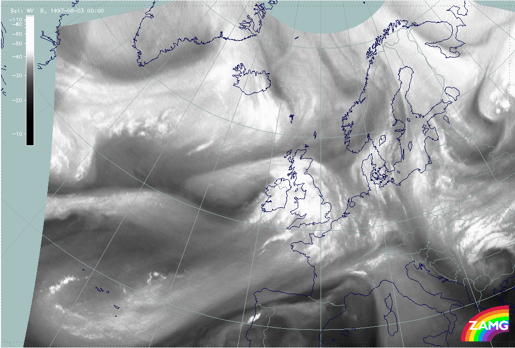
03 August 1997/00.00 UTC - Meteosat WV image
|
|
|
The cloud configurations six hours later can be seen in the IR (left image) and WV images (right image). Generally speaking there is still no dramatic change in the cloud features. The Warm Front Shield has moved eastward over the British Isles, the leading cloud edge of the Upper Level Low is located over Ireland and the dry Upper Level Low centre just west of Ireland.