02 - 03 August 1997 - Overview Of Satellite Imagery For 02 August 06.00 UTC
|
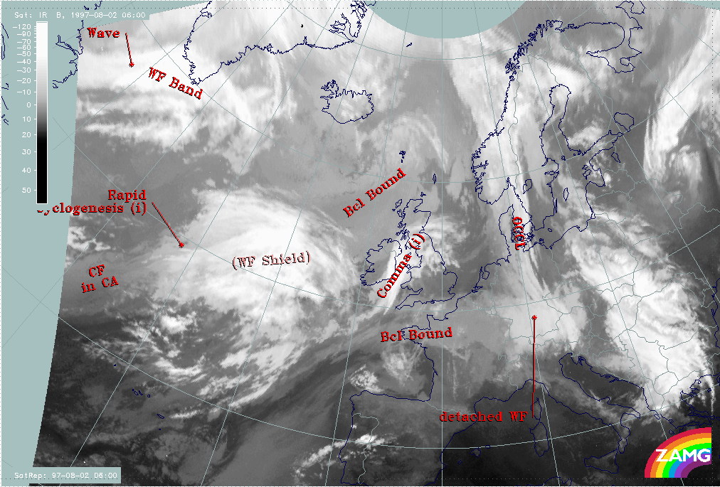
02 August 1997/06.00 UTC - Meteosat IR image; SatRep overlay: names of conceptual models
|
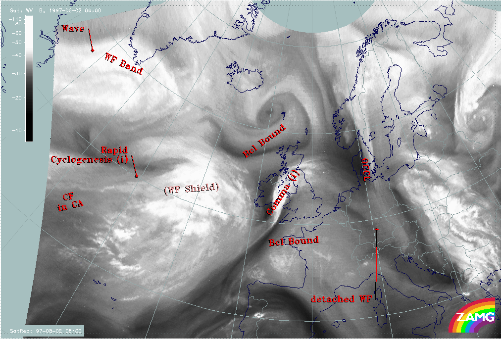
02 August 1997/06.00 UTC - Meteosat WV image; SatRep overlay: names of conceptual models
|
|
|
|
|
|
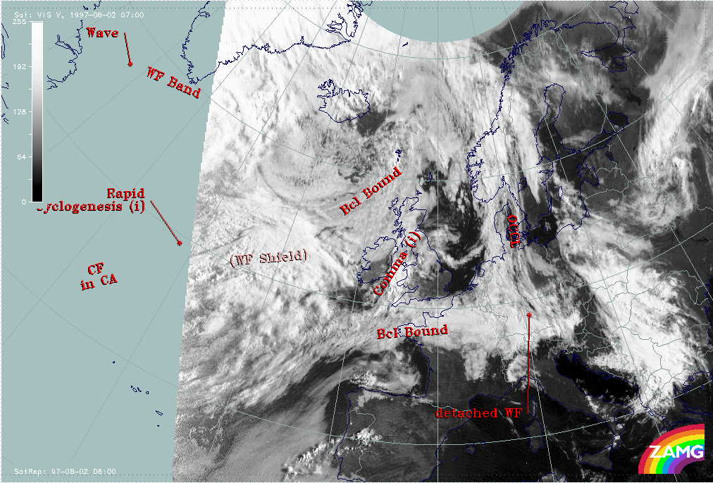
02 August 1997/07.00 UTC - Meteosat VIS image; SatRep overlay: names of conceptual models
|
|
The images show the SatRep of this day by means of the identified conceptual models superimposed on all three Meteosat channels. The following conceptual models will be discussed:
- Comma feature (Comma) over Ireland and England:
This consists of thick multilayered cloudiness with a stripe of very dry air at its rear side (compare Conceptual Models: Comma ). - Warm Front Shield (WF Shield) west of Ireland:
The cloud shield is very significant and well-developed in the IR and VIS image and is represented by thick multilayered cloudiness. In the WV imagery the typical warm conveyor belt structure can be detected (compare Conceptual Models: Warm Front Shield ). - Cold Front in Cold Advection (CF in CA) near the western edge of the image panel:
In the IR image a cloud band with rather low, warm tops can be noticed; the WV features correspond much more to the warm conveyor belt in the east and to the jet feature in the north (compare Conceptual Models: Cold Front in Cold Advection ). - Rapid Cyclogenesis (Rapid Cyclogenesis) west of the Warm Front Shield:
There are some indications from satellite imagery for a Rapid Cyclogenesis taking place:- There are two cloud layers, especially a lower one protruding from below a higher one, and
- In the WV imagery a black dry stripe extends parallel to the edge of the higher cloud system.