19 February 1997 - Verification Of Very Short Range Forecast
|
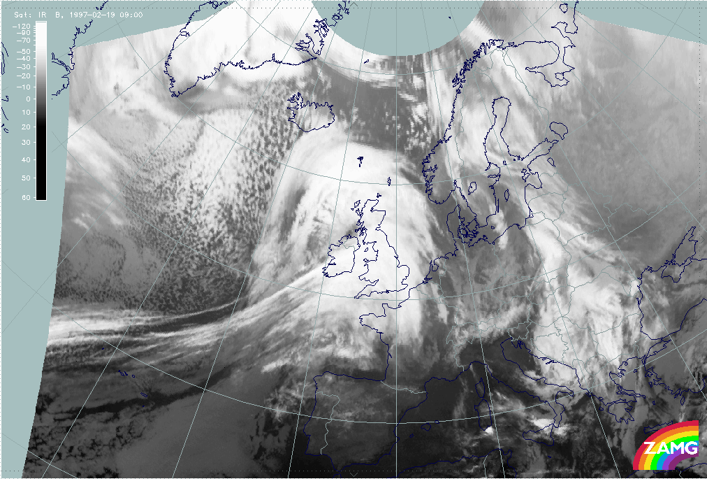
19 February 1997/09.00 UTC - Meteosat IR image
|
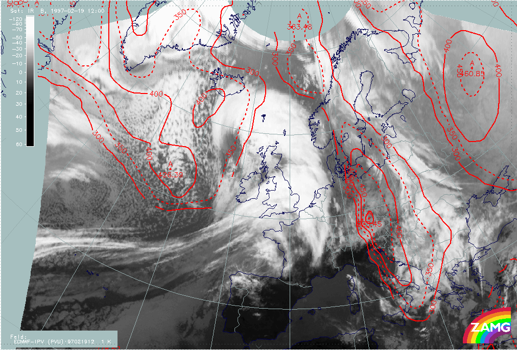
19 February 1997/12.00 UTC - Meteosat IR image; red: height of PV = 2 units
|
|
|
|
|
|
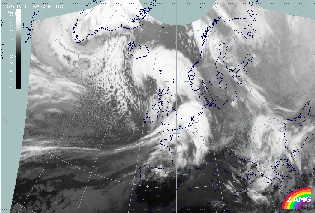
19 February 1997/15.00 UTC - Meteosat IR image
|
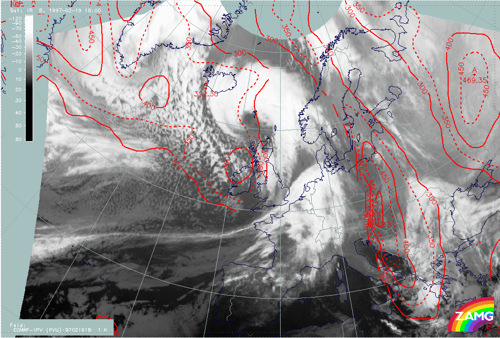
19 February 1997/18.00 UTC - Meteosat IR image; red: height of PV = 2 units
|
The three-hourly sequence of IR images shows very impressively the development of an Occlusion cloud spiral in the area of the Rapid Cyclogenesis, and the development of a Comma cloud feature at the rear side of the frontal cloud band which crosses Ireland and moves towards England.