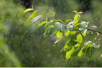
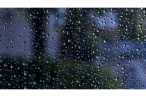
Identify and locate moisture features, precipitation types and amounts.
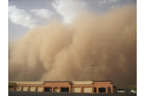
Learn to distinguish between dust and smoke.
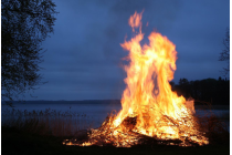
Identify and locate fires and smoke.
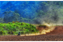
Identify and locate dust and sand storms and plumes and areas of raised dust.
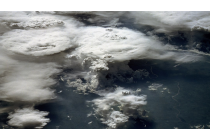
Identify clouds made of water droplets, ice particles or a mixture and discriminate between clouds with small or large cloud particles.
Deduce cloud top heights based on brightness temperatures, surface observations and sounding data.
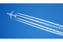
Identify contrails and ship trails.
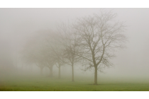
Identify fogs and discriminate between fog and low cloud.