VSRF: 15 June 06.00 - 18.00 UTC
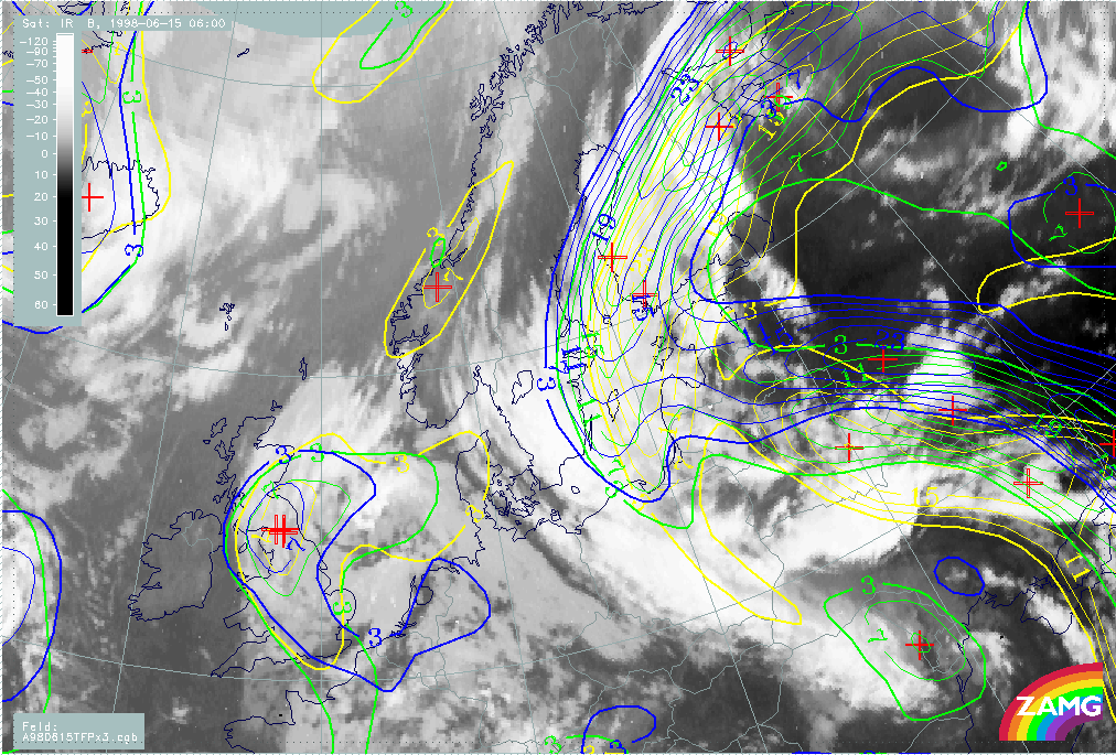
Following the development of the frontal system over Eastern Europe we now look at NWP-fields from 06.00, 12.00 and 18.00 UTC on the 15th of June. In Fig. H73 below, a rather slow west-northwest movement of the warm front TFP-zone can be seen over the next 12 hours, whilst the Cold Frontal TFP-zone moves rapidly northward.
|
15 June 1998/06.00 UTC - Meteosat IR image; yellow: thermal front parameter 500/850 hPa 06.00 UTC, green: thermal front parameter
500/850 hPa 12.00 UTC, blue: thermal front parameter 500/850 hPa 18.00 UTC
|
|
|
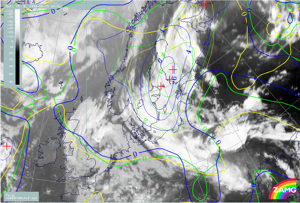
The temperature advection (H74) again follows TFP indications. The WA maximum remains very distinct with slow westward movement and slight intensification.
|
15 June 1998/06.00 UTC - Meteosat IR image; yellow: temperature advection - WA 06.00 UTC, green: temperature advection - WA 12.00 UTC,
blue: temperature advection - WA 18.00 UTC
|
|
|
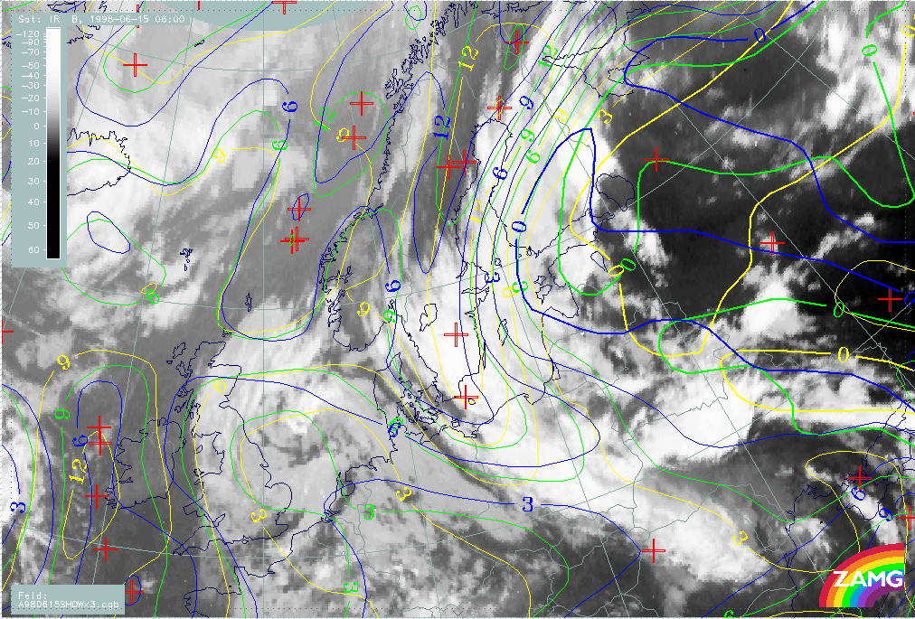
As above the Showalter index (H75) suggests a westward shifting of the Warm Front across Finland.
|
15 June 1998/06.00 UTC - Meteosat IR image; yellow: Showalter index 06.00 UTC, green: Showalter index 12.00 UTC, blue: Showalter index
18.00 UTC
|
|
|