Landslide hazard assessment thought satellite precipitation products
Luca Ciabatta describes the theoretical background and some examples for using satellite rainfall data for landslides prediction analysis.
Length: 22 minutes
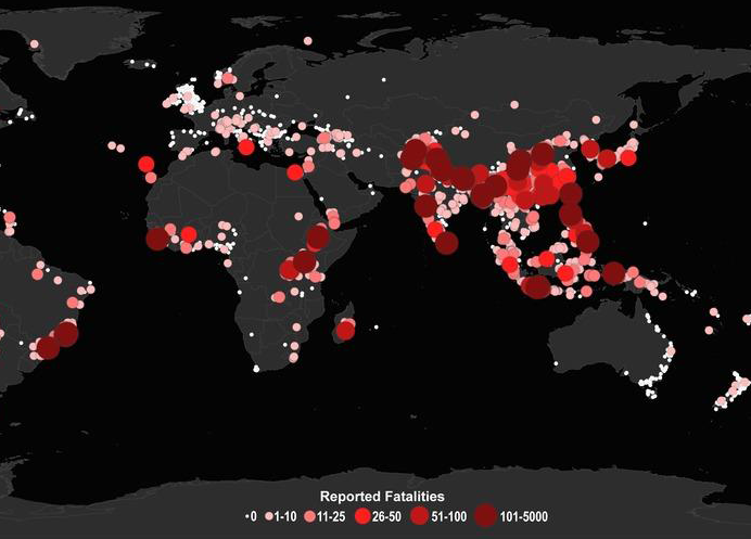
Rainfall-induced landslides are one of the most frequent and dangerous natural hazards, occurring every year and causing fatalities and significant economic losses. Their impact is expected to increase in the next decades due to climate changing. In these premises, several countries have developed and implemented operational early warning systems for rainfall-induced landslides. The main tool for the prediction of landslides is represent by rainfall thresholds. Usually, these empirical thresholds use rainfall characteristics, i.e. intensity and duration, to define the conditions that likely triggered the landslide based on the analysis of historical events. Satellite rainfall data can be beneficial in this application as they provide information over large areas without the need of setting up and maintain a monitoring network. This presentation will describe the theoretical background and some examples for using satellite rainfall data for landslides prediction analysis.

