Integration of rainfall data for improving flood modelling
Simone Gabellani presents a merging approach of rain gauge data with remote precipitation retrieval to improve flood modelling.
Length: 68 minutes
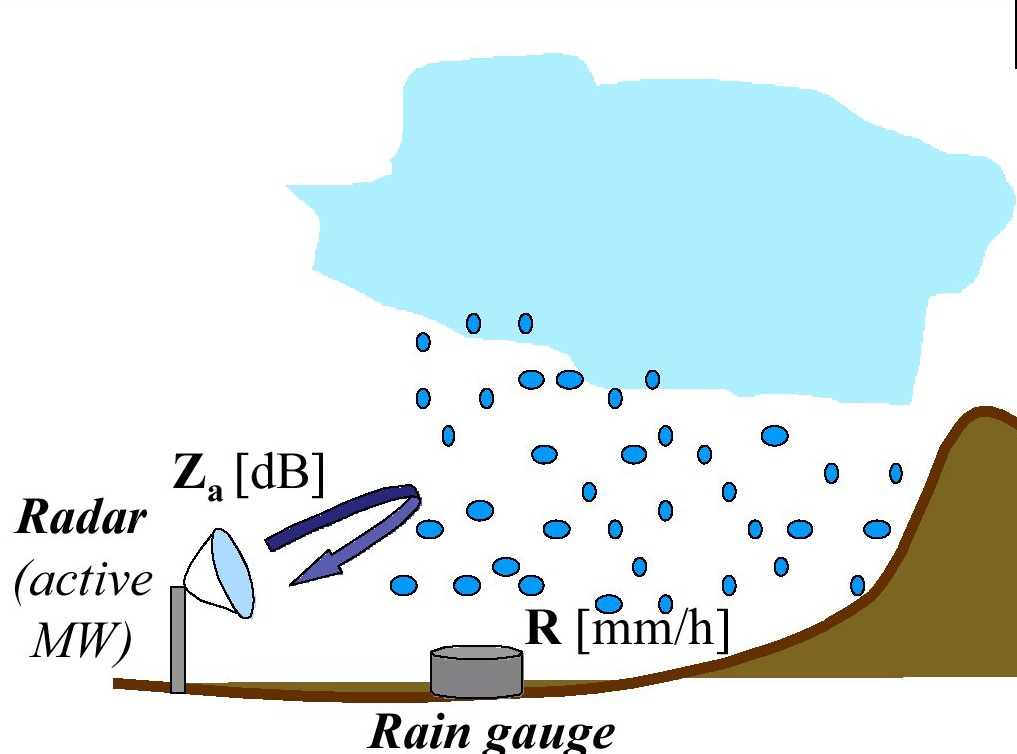
Multi-sensor data fusion prove that combining data from rain gauges and remote retrievals represents the best way to obtain an enhanced and more reliable evaluation of Quantitative Precipitation Estimation (QPE) that improve hydrological modelling for river discharge estimation. Although remote sensors produce an observation of precipitation subject to several sources of uncertainty, they capture the general covariance structure of the precipitation field. Thus, the information provided by remote sensors may be used to condition the information from rain gauges, which is limited in terms of spatial representativeness. In this way, an estimate of the rainfall field containing a more realistic spatial structure constrained to the rain gauges data can be produced. The presentation will describe the theoretical background and examples for merging satellite and gauge rainfall data for improving discharge modelling. A Modified Conditional Merging (MCM) approach, developed from the original Conditional Merging proposed by Sinclair and Pegram (2005), will be illustrated.

