
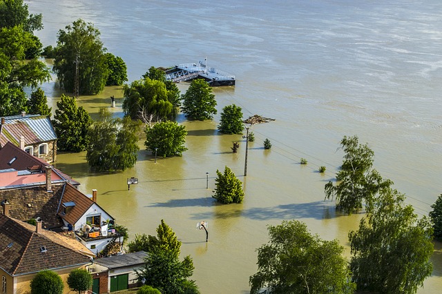
Flood modelling with satellite rainfall data
Christian Massari shows that model recalibration or bias correction even with a few rain gauges can provide boost hydrological model performance and thus make satellite rainfall data a valid solution to obtain discharge.
Length: 41 minutes.
Flood modelling over data scarce regions is challenging. Satellite rainfall data offer a viable tool to force hydrological models and provide discharge prediction at ungauged sites. However, being an indirect type of measurements, satellite rainfall observations can be subjected to significant bias and might be suboptimal over mountainous terrain. Here we show that model recalibration or bias correction even with a few rain gauges can provide boost hydrological model performance and thus make satellite rainfall data a valid solution to obtain discharge. In the presentation we will describe the theoretical background for using satellite rainfall products in flood prediction and provide some tips to enhance their performance in riverine flood modelling.
Go to Webcast... (Part 1 - 25 Minutes)