Initial weather situation
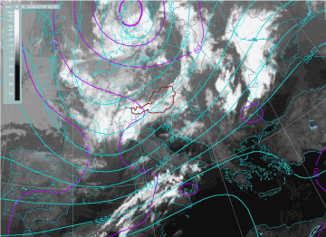
The large scale situation preceding the storm was analyzed by using the ECMWF analysis fields. At 00.00 UTC on 04 July 2003, the region of Italy and the Adriatic Sea was experiencing strong upper-level south-westerly flow, on the leading side of an upper trough connected to the low over southern Scandinavia. At the surface (1000 hPa) there is a very weak pressure gradient, but at upper levels (500hPa) there is a very pronounced gradient along the Adriatic.
|
04 July 2003/00.00 UTC - Meteosat IR image; violet: height contours 1000 hPa, cyan: height contours 500 hPa
|
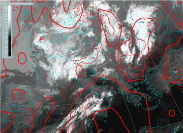
04 July 2003/00.00 UTC - Meteosat IR image; red: thermal front parameter
|
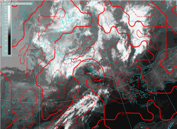
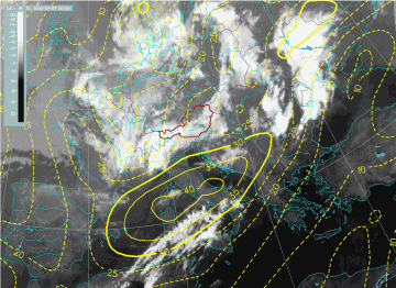
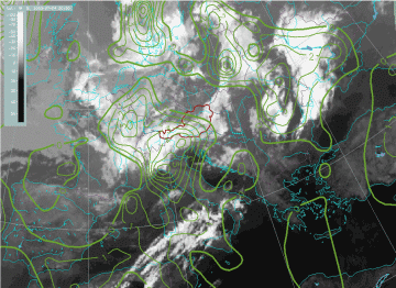
Since the TFP shows no significant maxima in the region of interest, it can be concluded that there was no frontal influence. However, there was pronounced warm advection in the lower layers in the region of the north Adriatic. A jet stream was located over Italy and the Adriatic, with a pronounced PVA maximum on the left exit side of the jet, above the Alpine region.
|
04 July 2003/00.00 UTC - Meteosat IR image; red: temperature advection 1000/500 hPa
|
04 July 2003/00.00 UTC - Meteosat IR image; yellow: isotachs 300 hPa
|
|
04 July 2003/00.00 UTC - Meteosat IR image; green: vorticity advection 300 hPa
|
|
