Chapter I: Introduction
Table of Contents
- Introduction
Chapter I
Fog is a meteorological phenomenon in the boundary layer of the atmosphere, composed of liquid water droplets or ice crystals suspended in the air. It often occurs in winter during stable weather conditions, and it can persist for days, or even weeks. Fog plays an important role in the functioning of traffic by reducing visibility. Absence of turbulence and calm atmospheric conditions during fog events cause an increase in the concentration of air pollutants. This phenomenon can be a serious problem in large urban areas.
Fog is characteristic of the mid-latitudes during the winter season. Radiation fog is the most common event in ravines, river valleys and the lower continental regions. It is difficult to predict the duration of a fog episode because numerical models are not that good at forecasting boundary layer processes. For that reason we rely on satellite data, which provide us a closer insight into the spatial and temporal extent of the fog.
This case study presents an analysis of radiation in a fog event over the Pannonian Basin that took place from 18th to 20th November, 2011. It is an example of the conceptual model of fog and stratus cloudiness. Special attention is dedicated to the analysis of vertical atmospheric profiles (temperature, humidity and wind) and satellite observation.
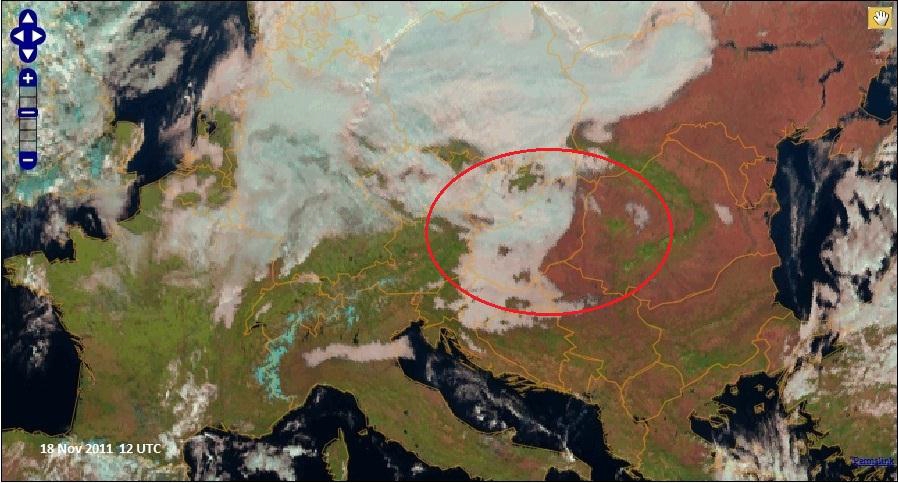
Fig. 1.1. Analyzed area of the Pannonian Basin (Natural colour RGB: Meteosat-9; 03,02,01).