Chapter I: Introduction
Table of Contents
- Chapter I: Introduction
- Introduction
Introduction
On September 12th 2010 a major PV anomaly, in the rear of a cold front, moved over France and hit Germany and Switzerland in the late evening, reaching Austria during the night. On the front side of this anomaly convective cells developed and brought some rain showers and thunderstorms. At first the ECMWF model, especially the 00 UTC run from September 12th, had lagged and shifted the PV maximum westward of its actual location.
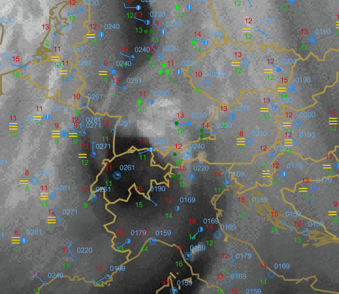
Figure 1.1: Meteosat 9 WV6.2 with SYNOP Observations - 13 September 2010 06UTC
In this case study we analyse not only the synoptic situation, but also the model error. In the following we take a look at the MPEF (Meteosat Product Extraction Facility) divergence product, how it works and whether it would have been helpful in this case as a nowcasting tool. For further reading we suggest the conceptual models WV-Eye and Enhancement by PV, published in the Manual of Synoptic Satellite Meteorology.